Category Archives: Travel Guides
Admiralty Chart 518 – Approaches to Valencia
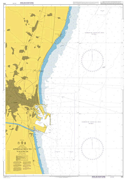
NEW EDITION OUT ON 16/01/2020Admiralty standard nautical charts comply with Safety of Life at Sea (SOLAS) regulations and are ideal for professional, commercial and recreational use. Charts within the series consist of a range of scales, useful for passage planning, ocean crossings, coastal navigation and entering port.Standard Admiralty charts are folded to fit in a
Admiralty Chart 1193 – Tarragona
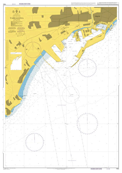
Admiralty standard nautical charts comply with Safety of Life at Sea (SOLAS) regulations and are ideal for professional, commercial and recreational use. Charts within the series consist of a range of scales, useful for passage planning, ocean crossings, coastal navigation and entering port.Standard Admiralty charts are folded to fit in a chart table drawer. If
Admiralty Chart 1196 – Spain East Coast, Approaches to Barcelona
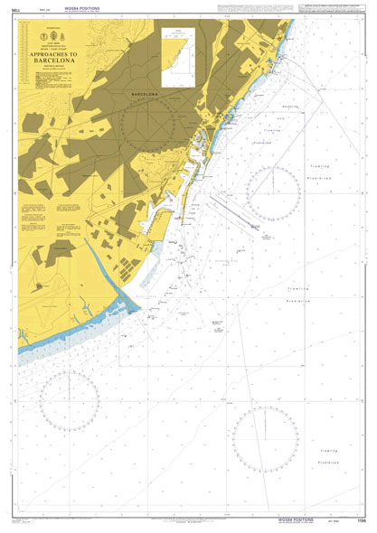
NEW EDITION OUT ON 29/10/2020Admiralty standard nautical charts comply with Safety of Life at Sea (SOLAS) regulations and are ideal for professional, commercial and recreational use. Charts within the series consist of a range of scales, useful for passage planning, ocean crossings, coastal navigation and entering port.Standard Admiralty charts are folded to fit in a
Admiralty Chart 4979 – Alaska – South Coast, Prince William Sound & Approaches
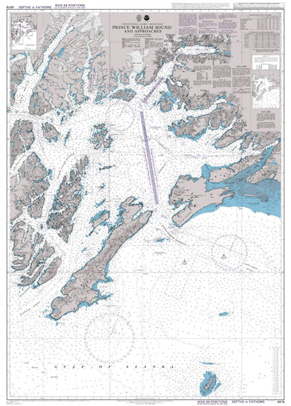
Admiralty standard nautical charts comply with Safety of Life at Sea (SOLAS) regulations and are ideal for professional, commercial and recreational use. Charts within the series consist of a range of scales, useful for passage planning, ocean crossings, coastal navigation and entering port.Standard Admiralty charts are folded to fit in a chart table drawer. If
CHS Chart 4209 – Lockeport & Shelburne Harbors
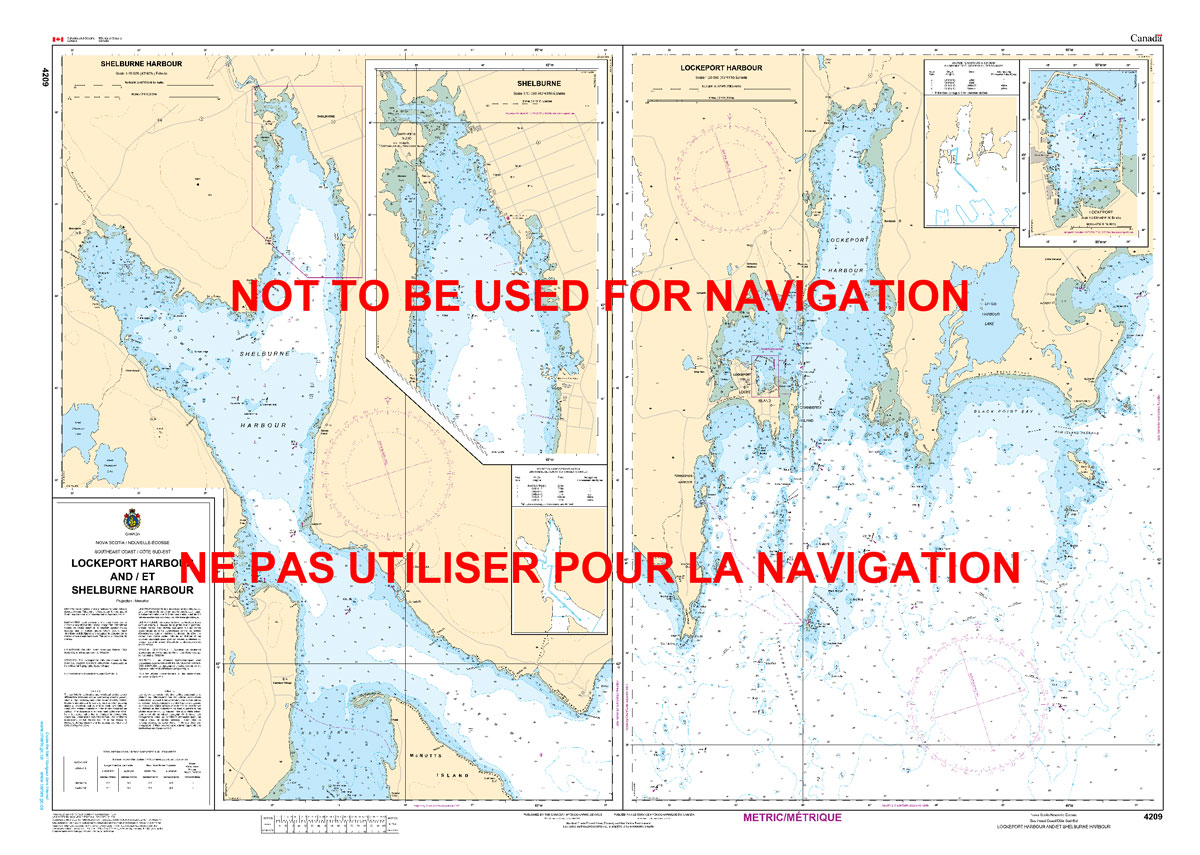
The official Canadian charts provide an excellent range of scales for the whole length of Canada`s coastline as well as the Grat Lakes and comply with Safety of Life at Sea (SOLAS) regulations.PLEASE NOTE: Canadian Hydrographic Service charts are ordered on demand, please allow 1-2 weeks for the order to arrive at Stanfords.
Pride Rainbow Hand Flag

100% polyester, screen printed Rainbow flag on a 30cm wooden pole with a white plastic ball cap.Don`t be seen at a Gay Pride parade without one!
CHS Chart 4210 – Cape Sable To Pubnico Harbour
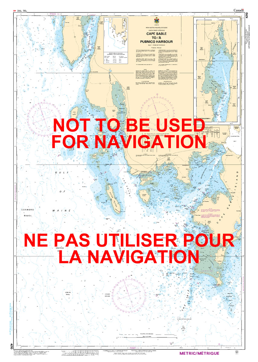
The official Canadian charts provide an excellent range of scales for the whole length of Canada`s coastline as well as the Grat Lakes and comply with Safety of Life at Sea (SOLAS) regulations.PLEASE NOTE: Canadian Hydrographic Service charts are ordered on demand, please allow 1-2 weeks for the order to arrive at Stanfords.
Stanford`s London 1862 Gift Wrapping Paper – Pink Version
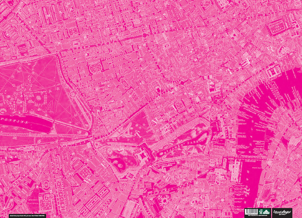
This sheet of wrapping paper features a colour-modified vintage map of London circa 1862 from the Edward Stanford cartographic collection.Please note this is not an up to date map of London.Perfect for wrapping special presents. Its high decorative qualities make it also ideal for framing and other creative purposes.
CHS Chart 4241 – Lockeport To Cape Sable
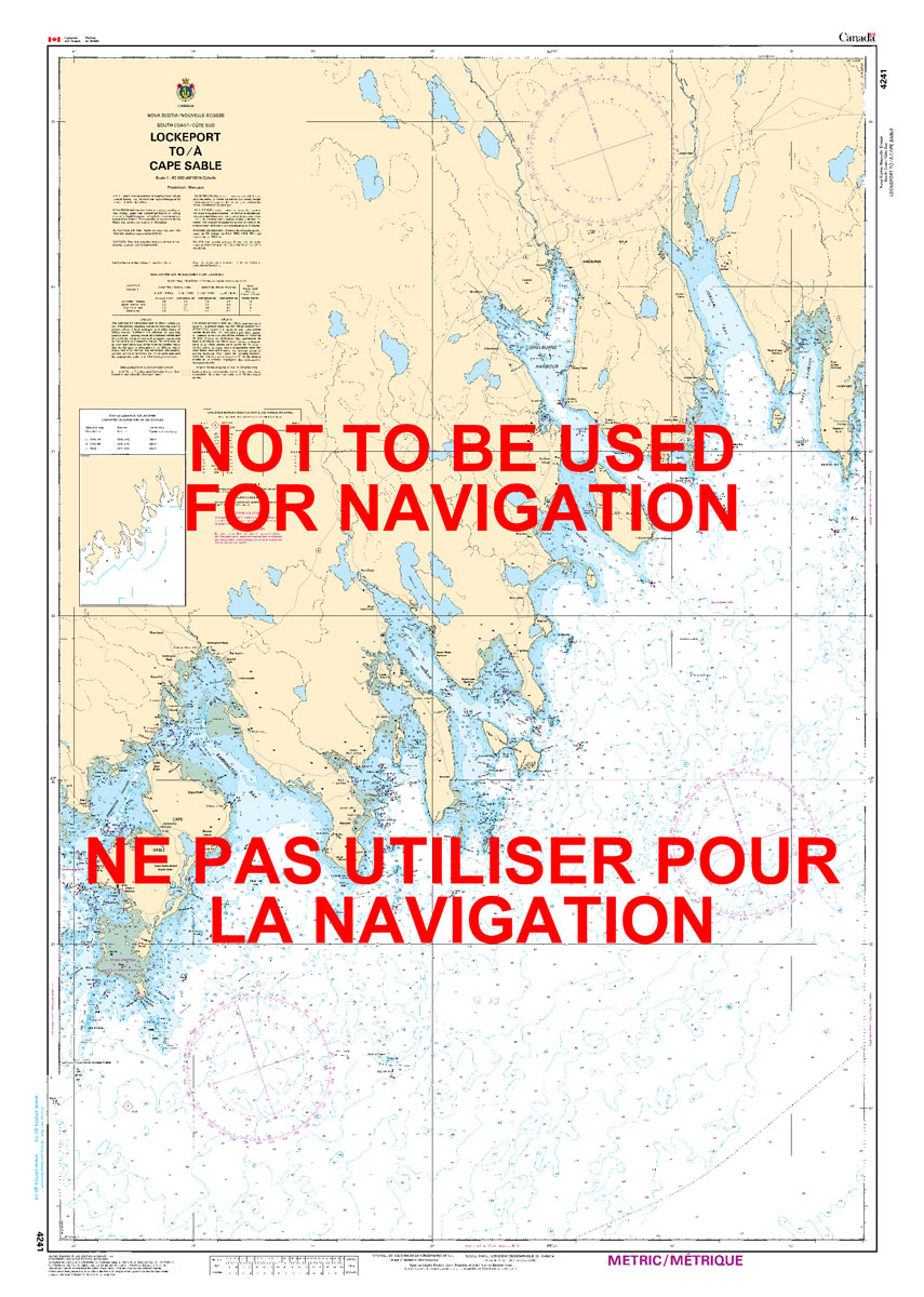
The official Canadian charts provide an excellent range of scales for the whole length of Canada`s coastline as well as the Grat Lakes and comply with Safety of Life at Sea (SOLAS) regulations.PLEASE NOTE: Canadian Hydrographic Service charts are ordered on demand, please allow 1-2 weeks for the order to arrive at Stanfords.
Natural Resources Canada North Circumpolar Region Wall Map – Bilingual – Atlas of Canada 1087 x 921 mm
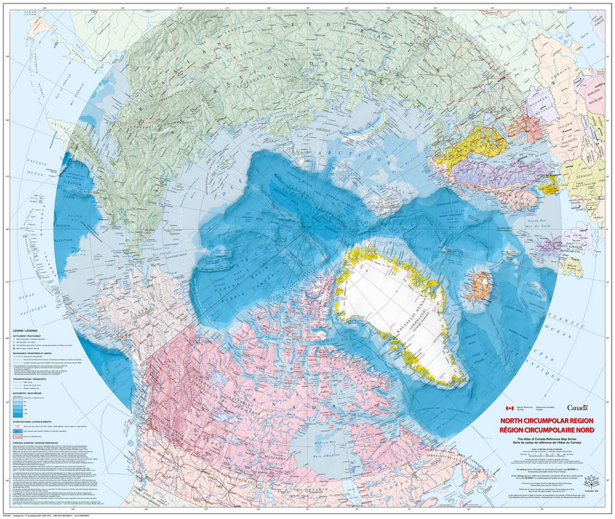
The Arctic Sea and the North Circumpolar Region on a beautiful wall map from Natural Resources Canada, the country’s topographic survey organization. The map covers an area north of 55ยบ of latitude, with countries presented in lovely pastel colours against the surrounding seas which have bathymetric colouring. Relief shading shows the terrain on land and
CHS Chart 4243 – Tusket Islands To Cape St Marys
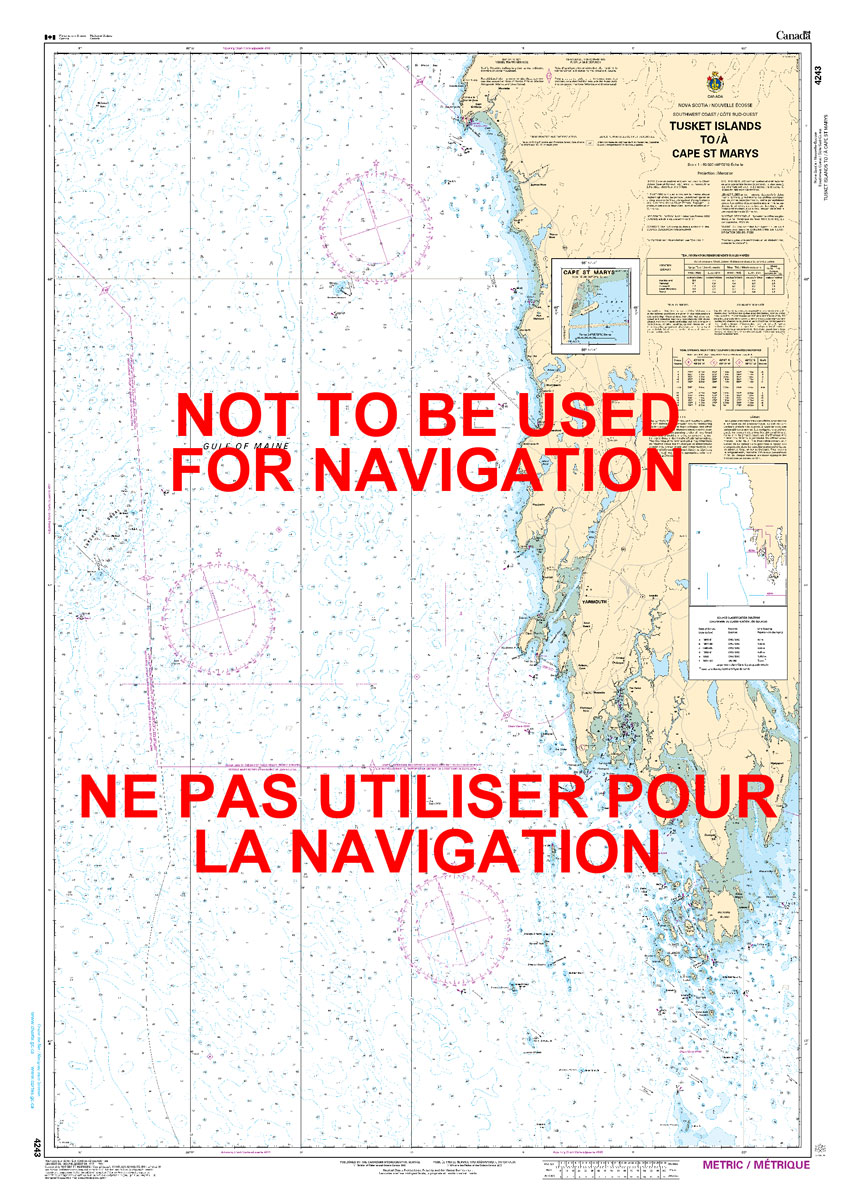
The official Canadian charts provide an excellent range of scales for the whole length of Canada`s coastline as well as the Grat Lakes and comply with Safety of Life at Sea (SOLAS) regulations.PLEASE NOTE: Canadian Hydrographic Service charts are ordered on demand, please allow 1-2 weeks for the order to arrive at Stanfords.
Admiralty Chart 2565 – Saint Agnes Head to Dodman Point including the Isles of Scilly
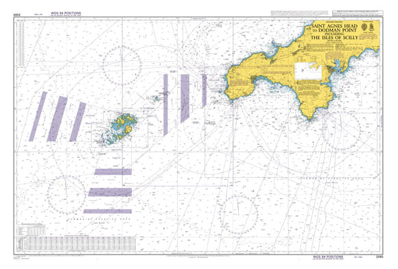
Admiralty standard nautical charts comply with Safety of Life at Sea (SOLAS) regulations and are ideal for professional, commercial and recreational use. Charts within the series consist of a range of scales, useful for passage planning, ocean crossings, coastal navigation and entering port.Standard Admiralty charts are folded to fit in a chart table drawer. If
CHS Chart 4244 – Wedgeport and Vicinity
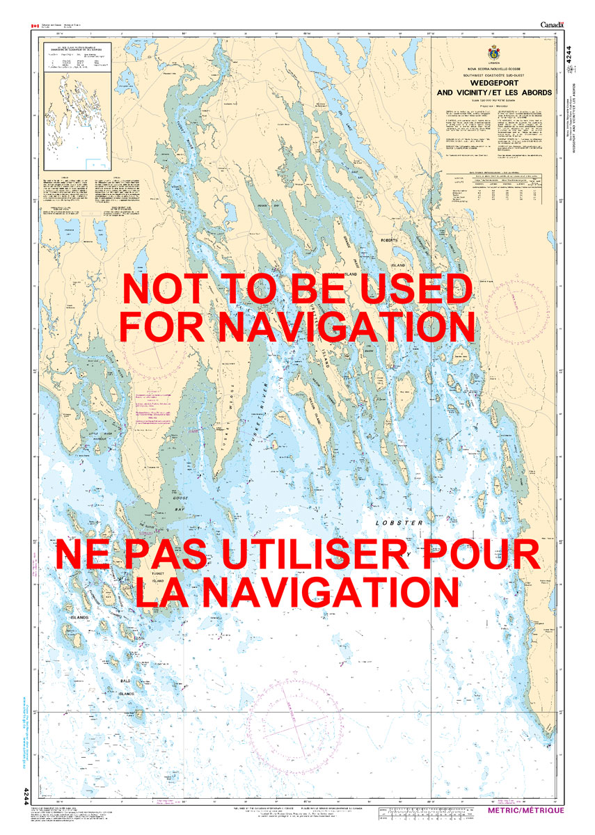
The official Canadian charts provide an excellent range of scales for the whole length of Canada`s coastline as well as the Grat Lakes and comply with Safety of Life at Sea (SOLAS) regulations.PLEASE NOTE: Canadian Hydrographic Service charts are ordered on demand, please allow 1-2 weeks for the order to arrive at Stanfords.
CHS Chart 4381 – Mahone Bay
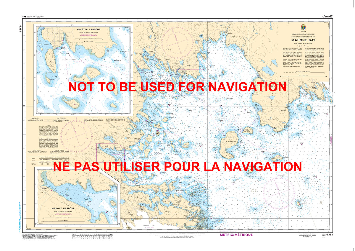
The official Canadian charts provide an excellent range of scales for the whole length of Canada`s coastline as well as the Grat Lakes and comply with Safety of Life at Sea (SOLAS) regulations.PLEASE NOTE: Canadian Hydrographic Service charts are ordered on demand, please allow 1-2 weeks for the order to arrive at Stanfords.
CHS Chart 4384 – Pearl Island to Cape La Have
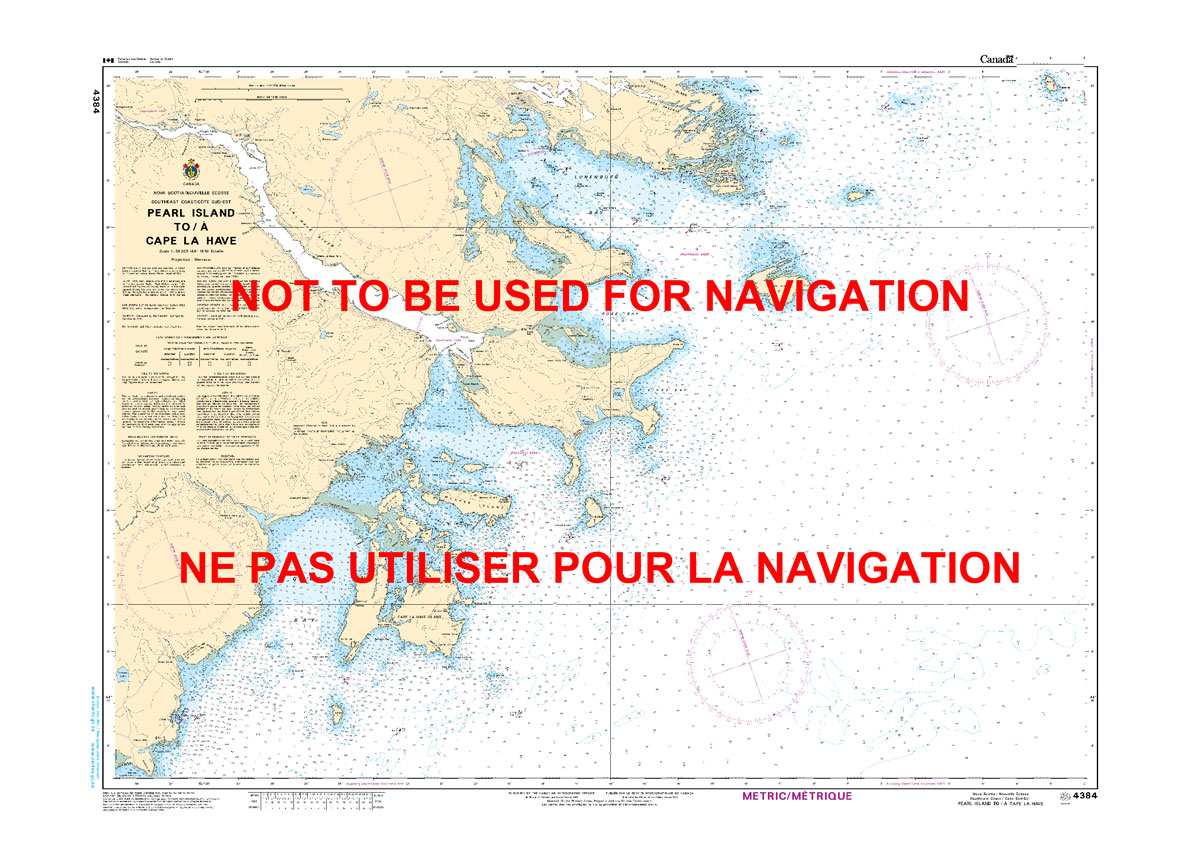
The official Canadian charts provide an excellent range of scales for the whole length of Canada`s coastline as well as the Grat Lakes and comply with Safety of Life at Sea (SOLAS) regulations.PLEASE NOTE: Canadian Hydrographic Service charts are ordered on demand, please allow 1-2 weeks for the order to arrive at Stanfords.
CHS Chart 4385 – Chebucto Head to Betty Island
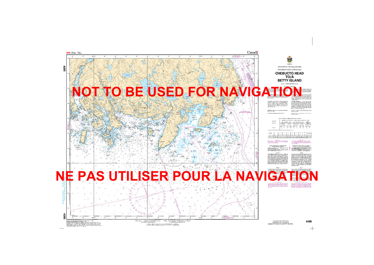
The official Canadian charts provide an excellent range of scales for the whole length of Canada`s coastline as well as the Grat Lakes and comply with Safety of Life at Sea (SOLAS) regulations.PLEASE NOTE: Canadian Hydrographic Service charts are ordered on demand, please allow 1-2 weeks for the order to arrive at Stanfords.
CHS Chart 4386 – St. Margaret`s Bay
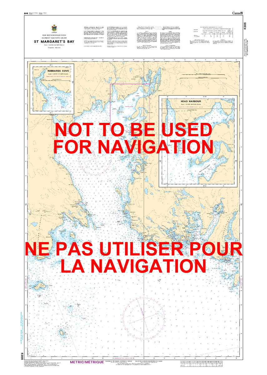
The official Canadian charts provide an excellent range of scales for the whole length of Canada`s coastline as well as the Grat Lakes and comply with Safety of Life at Sea (SOLAS) regulations.PLEASE NOTE: Canadian Hydrographic Service charts are ordered on demand, please allow 1-2 weeks for the order to arrive at Stanfords.
Admiralty Chart 473 – Approaches to Alicante
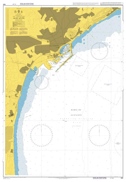
NEW EDITION OUT ON 08/10/2020Admiralty standard nautical charts comply with Safety of Life at Sea (SOLAS) regulations and are ideal for professional, commercial and recreational use. Charts within the series consist of a range of scales, useful for passage planning, ocean crossings, coastal navigation and entering port.Standard Admiralty charts are folded to fit in a
The Mammals, Reptiles & Ambhibians of Tambopata

Research has shown that the TRZ (now known as the Tambopata National Reserve) contains more bird and butterfly species than any other location of its size on Earth. Since its creation the reserve has attracted a great many ornithologists, and this list of species has been compiled on the basis of observations within an 8km