Category Archives: Travel Guides
SEMAR Chart 111.5 – Bahia de Todos Santos, Baja California
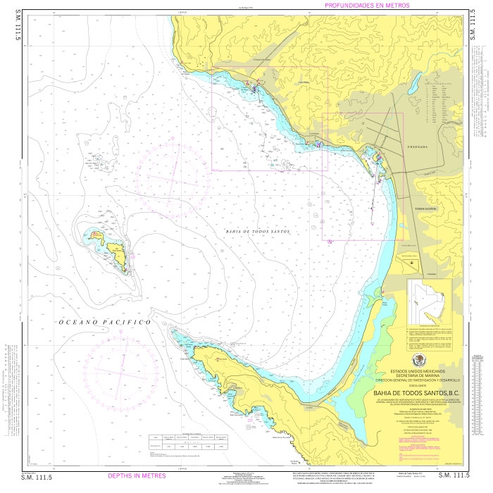
Official Mexican Hydrographic Office charts (SEMAR – Secretarรญa de Marina Armada de Mรฉxico) offer a great range of scales for ports along the Mexico`s Pacific coast. Available to order from Stanfords. Also available: – General and Regional charts of Mexico – Charts for ports along the Gulf of Mexico and the Caribbean coast For more
SEMAR Chart 111.6 – Ensenada, Baja California
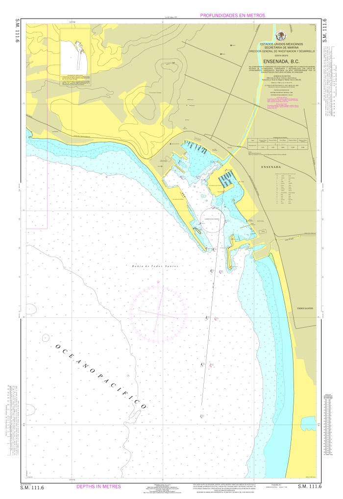
Official Mexican Hydrographic Office charts (SEMAR – Secretarรญa de Marina Armada de Mรฉxico) offer a great range of scales for ports along the Mexico`s Pacific coast. Available to order from Stanfords. Also available: – General and Regional charts of Mexico – Charts for ports along the Gulf of Mexico and the Caribbean coast For more
SEMAR Chart 111.8 – Costa Azul , Baja California
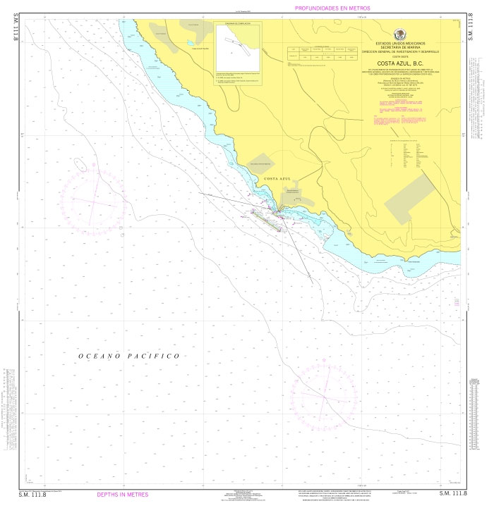
Official Mexican Hydrographic Office charts (SEMAR – Secretarรญa de Marina Armada de Mรฉxico) offer a great range of scales for ports along the Mexico`s Pacific coast. Available to order from Stanfords. Also available: – General and Regional charts of Mexico – Charts for ports along the Gulf of Mexico and the Caribbean coast For more
SEMAR Chart 121.1 – Bahia Santa Maria, Baja California
Official Mexican Hydrographic Office charts (SEMAR – Secretarรญa de Marina Armada de Mรฉxico) offer a great range of scales for ports along the Mexico`s Pacific coast. Available to order from Stanfords. Also available: – General and Regional charts of Mexico – Charts for ports along the Gulf of Mexico and the Caribbean coast For more
Azores Flag – 1/2 yard – Printed
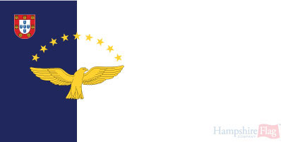
We are able to source a wide range of courtesy flags. Flags are available in many sizes and can be sewn or printed on 100% Ministry Of Defence Standard Woven and Knitted Polyester. Flags are supplied with rope and toggle. If you would like more information, have a custom size request or cannot find a
Admiralty Chart 4964 – Vancouver Harbour, Central Portion
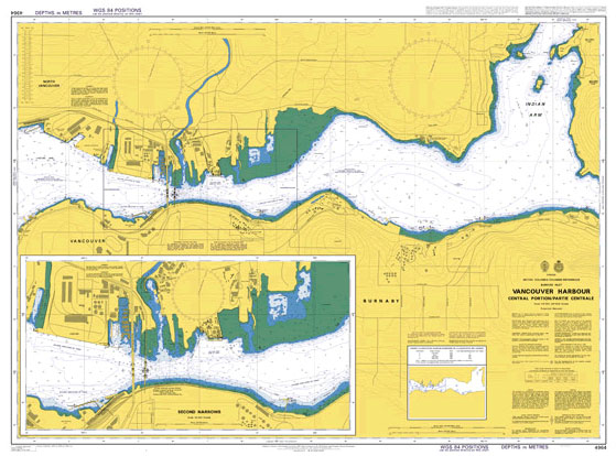
Admiralty standard nautical charts comply with Safety of Life at Sea (SOLAS) regulations and are ideal for professional, commercial and recreational use. Charts within the series consist of a range of scales, useful for passage planning, ocean crossings, coastal navigation and entering port.Standard Admiralty charts are folded to fit in a chart table drawer. If
Admiralty Chart 4162 – Approaches to East London
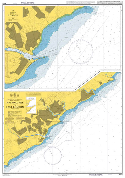
Admiralty standard nautical charts comply with Safety of Life at Sea (SOLAS) regulations and are ideal for professional, commercial and recreational use. Charts within the series consist of a range of scales, useful for passage planning, ocean crossings, coastal navigation and entering port.Standard Admiralty charts are folded to fit in a chart table drawer. If
Admiralty Chart 4965 – Vancouver Harbour, Eastern Portion
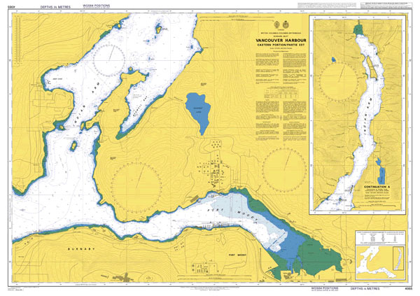
Admiralty standard nautical charts comply with Safety of Life at Sea (SOLAS) regulations and are ideal for professional, commercial and recreational use. Charts within the series consist of a range of scales, useful for passage planning, ocean crossings, coastal navigation and entering port.Standard Admiralty charts are folded to fit in a chart table drawer. If
Integrated Bridge Systems Vol 1
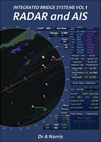
From 2008 all new radars were required to display AIS information, and this book looks at the implications of integrating these functions. It explains how radar and AIS systems can be better integrated with overlay and underlay displays, to assist with decision-making on board. The author draws on experience as a leading designer and industry
Admiralty Chart 4980 – Alaska – South Coast, Prince William Sound, Eastern Entrance
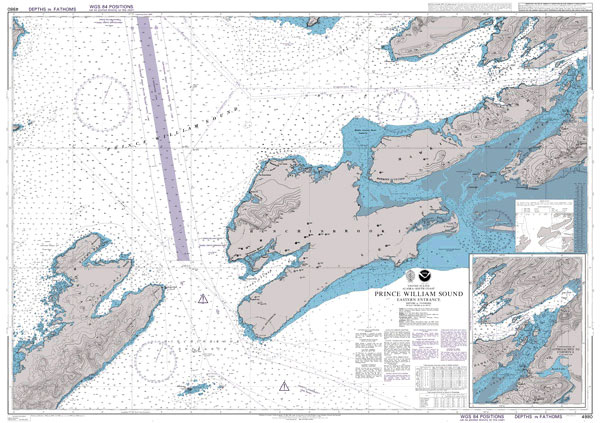
Admiralty standard nautical charts comply with Safety of Life at Sea (SOLAS) regulations and are ideal for professional, commercial and recreational use. Charts within the series consist of a range of scales, useful for passage planning, ocean crossings, coastal navigation and entering port.Standard Admiralty charts are folded to fit in a chart table drawer. If
Admiralty Chart 1330 – Rio Parana Sheet 8
NEW EDITION OUT ON 18/07/2019Plans included in this chart:A Puente Rosario-Victoria 1:10,000B Muelle Vicentรญn 1:10,000C Puerto San Lorenzo 1:10,000D Bella Vista 1:10,000E Terminal 6 1:10,000Admiralty standard nautical charts comply with Safety of Life at Sea (SOLAS) regulations and are ideal for professional, commercial and recreational use. Charts within the series consist of a range of
Admiralty Chart 4242 – Chile, Valparaiso
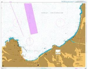
NEW EDITION OUT ON 18/06/2020Admiralty standard nautical charts comply with Safety of Life at Sea (SOLAS) regulations and are ideal for professional, commercial and recreational use. Charts within the series consist of a range of scales, useful for passage planning, ocean crossings, coastal navigation and entering port.Standard Admiralty charts are folded to fit in a
Admiralty Chart 591 – San Francisco Harbor and Approaches
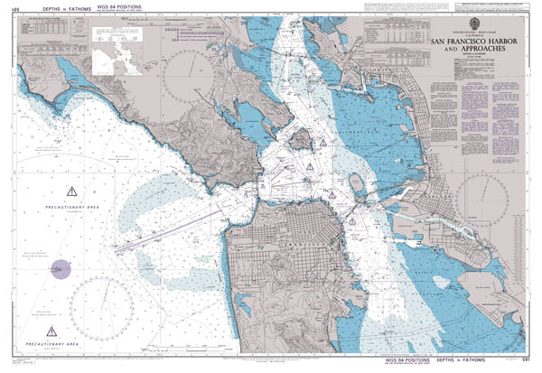
Admiralty standard nautical charts comply with Safety of Life at Sea (SOLAS) regulations and are ideal for professional, commercial and recreational use. Charts within the series consist of a range of scales, useful for passage planning, ocean crossings, coastal navigation and entering port.Standard Admiralty charts are folded to fit in a chart table drawer. If
Admiralty Chart 592 – San Francisco Bay Southern Part
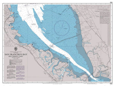
Admiralty standard nautical charts comply with Safety of Life at Sea (SOLAS) regulations and are ideal for professional, commercial and recreational use. Charts within the series consist of a range of scales, useful for passage planning, ocean crossings, coastal navigation and entering port.Standard Admiralty charts are folded to fit in a chart table drawer. If
Admiralty Chart 1017 – Golfo de California
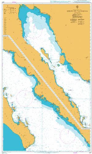
Admiralty standard nautical charts comply with Safety of Life at Sea (SOLAS) regulations and are ideal for professional, commercial and recreational use. Charts within the series consist of a range of scales, useful for passage planning, ocean crossings, coastal navigation and entering port.Standard Admiralty charts are folded to fit in a chart table drawer. If
Admiralty Chart 1027 – Approaches to Golfo de California
Admiralty standard nautical charts comply with Safety of Life at Sea (SOLAS) regulations and are ideal for professional, commercial and recreational use. Charts within the series consist of a range of scales, useful for passage planning, ocean crossings, coastal navigation and entering port.Standard Admiralty charts are folded to fit in a chart table drawer. If
Admiralty Chart 4957 – Strait of Georgia, Approaches to Nanaimo Harbour
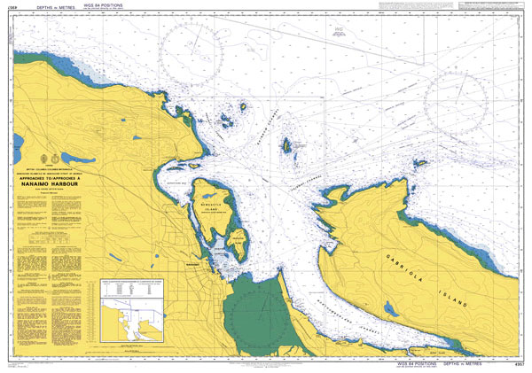
Admiralty standard nautical charts comply with Safety of Life at Sea (SOLAS) regulations and are ideal for professional, commercial and recreational use. Charts within the series consist of a range of scales, useful for passage planning, ocean crossings, coastal navigation and entering port.Standard Admiralty charts are folded to fit in a chart table drawer. If


