Category Archives: Travel Guides
South Downs National Park Pocket Map
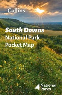
Handy little full colour map of South Downs National Park. Detailed mapping and visitor information to the National Park along with a selection of photographs. Map at a scale of 1:125 000 (1cm to 1.25km, 2.0 miles to 1 inch). This small map gives a great overview of the South Downs National Park, and is
Peak District National Park Pocket Map
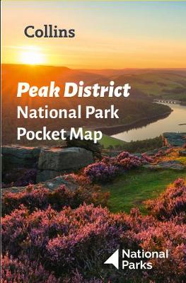
Handy little full colour map of Peak District National Park. Detailed mapping and visitor information to the National Park along with a selection of photographs. Map at a scale of 1:120 000 (1cm to 1.20km, 1.9 miles to 1 inch). This small map gives a great overview of the Peak District National Park, and is
Snowdonia National Park Pocket Map
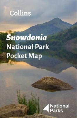
Handy little full colour map of Snowdonia National Park. Detailed mapping and visitor information to the National Park along with a selection of photographs. Map at a scale of 1:119 000 (1.2cm to 1km, 1.9 miles to 1 inch). This small map gives a great overview of the Snowdonia National Park, and is the perfect
Yorkshire Dales National Park Pocket Map
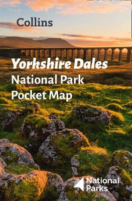
Handy little full colour map of Yorkshire Dales National Park. Detailed mapping and visitor information to the National Park along with a selection of photographs. Map at a scale of 1:140 000 (1cm to 1.40km, 2.2 miles to 1 inch). The perfect way to explore this beautiful area of England. This small map gives a
Great Britain & Northern Ireland A-Z Road Atlas 2022 A3 PAPERBACK
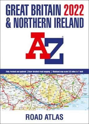
A large A3-size, full colour, paperback road atlas, now fully revised and updated. Clear detailed road mapping at a mainland map scale of 3.5 miles to 1 inch. This essential road atlas includes the following;* 11 pages of main route mapping covering Greater London, Birmingham and Manchester* Route planning maps* Mileage chart with average journey
Great Britain A-Z Handy Road Atlas 2022 A5 SPIRAL-BOUND
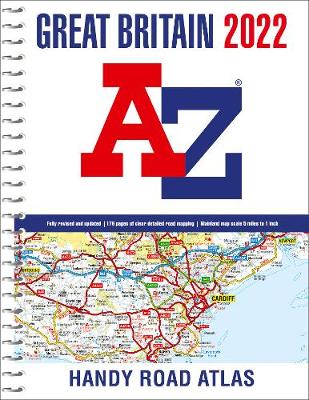
A compact A5-size full colour, spiral bound road atlas, now fully revised and updated. Clear detailed road mapping at a mainland map scale of 5 miles to 1 inch. Easily stored in a glove box or door pocket. Instantly recognizable and easy to use, the road mapping has been specifically tailored for the smaller scale
Great Britain A-Z Road Atlas 2022 A4 SPIRAL-BOUND
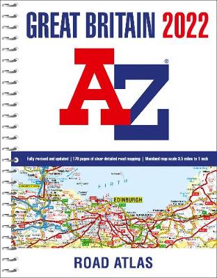
An A4-size, spiral bound, full colour road atlas, now fully revised and updated. Clear detailed road mapping at a mainland map scale of 3.5 miles to 1 inch. This essential road atlas includes the following:* 11 pages of main route mapping covering Greater London, Birmingham and Manchester* Route planning maps* Mileage chart with average journey
Great Britain & Northern Ireland A-Z Super Scale Road Atlas 2022 A3 SPIRAL-BOUND
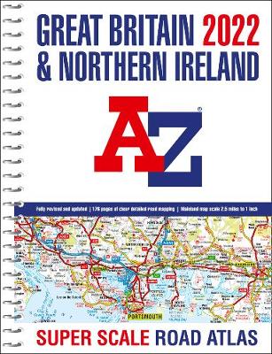
A large scale A3-size, easy-read, spiral bound road atlas, now fully revised and updated. Clear detailed road mapping at a mainland map scale of 2.5 miles to 1 inch. This large format road atlas includes the following;* 11 pages of main route mapping covering Greater London, Birmingham and Manchester* Route planning map* Mileage chart with
Norwich A-Z Pocket Street Map
This up-to-date detailed A-Z street map includes more than 2,000 streets in and around Norwich. As well as the Norwich Cathedral and central Norwich, the other areas covered include Cringleford, Lakenham, Whitlingham Country Park, Thorpe St Andrew, New Catton and Hellesdon. The large-scale street map includes the following:* Places of interest* Postcode districts, one-way streets
Southampton A-Z Pocket Street Map

This up-to-date detailed A-Z street map includes more than 2,000 streets in and around Southampton. As well as Ocean Village and Southampton Common, the other areas covered include Woolston, Itchen, Shirley, Bitterne, Portswood, Bassett and North Stoneham. The large-scale street map includes the following:* Places of interest* Postcode districts, one-way streets and car parks* Index
Peak District Park Rangers Favourite Walks
Walking guide to the Peak District National Park, with 20 best routes chosen by the park rangers. Each walk varies in length from 2 to 10 km and can be completed in less than 4 hours. 20 best routes chosen and written by National Park rangers Walks from 2 to 10kmDetailed description for each walk
Canterbury A-Z Pocket Street Map
This up-to-date detailed A-Z street map includes more than 1,000 streets in and around Canterbury. As well as the Canterbury Cathedral and Canterbury city centre, other areas covered are Blean Woods National Nature Reserve, Chartham, Harbledown, Rough Common, University of Kent and Fordwich. The large-scale street map includes the following:* Places of interest* Postcode districts,
Snowdonia Park Rangers Favourite Walks
Walking guide to the Snowdonia National Park, with 20 best routes chosen by the park rangers. Each walk varies in length from 2 to 10 km and can be completed in less than 4 hours. 20 best routes chosen and written by National Park rangers Walks from 2 to 10kmDetailed description for each walk with
Torquay A-Z Pocket Street Map
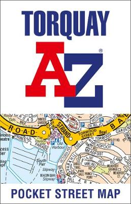
This up-to-date detailed A-Z street map includes more than 1,000 streets in and around Torquay. As well as Babbacombe and Oddicombe Beach, the other areas covered include Paignton, Preston, Hollicombe, Hele, Shiphay, Watcombe, Barton and Daccombe. The large-scale street map includes the following:* Places of interest* Postcode districts, one-way streets and car parks* Index to
Broads National Park Pocket Map
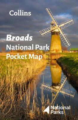
Handy little full colour map of Broads National Park. Detailed mapping and visitor information to the National Park along with a selection of photographs. Map at a scale of 1:91,000 (1.45 miles to 1 inch or 0.91 km to 1cm). The perfect way to explore this beautiful area of East Anglia. This small map gives
Plymouth A-Z Pocket Street Map
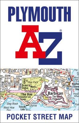
This up-to-date detailed A-Z street map includes more than 2,000 streets in and around Plymouth. As well as the Royal William Yard and Crownhill Fort, the other areas covered include Stoke, Efford, Pennycross, St Budeaux, King`s Tamerton, Eggbuckland and Manadon. The large-scale street map includes the following:* Places of interest* Postcode districts, one-way streets and
Pembrokeshire Coast National Park Collins Pocket Map
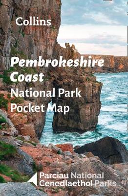
Handy little full colour map of Pembrokeshire Coast National Park. Detailed mapping and visitor information to the National Park along with a selection of photographs. Map at a scale of 1:133,000 (2.1 miles to 1 inch or 1.33 km to 1cm). The perfect way to explore this beautiful area of West Wales. This small map
Cambridge A-Z Pocket Street Map
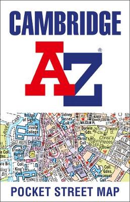
This up-to-date detailed A-Z street map includes more than 1,000 streets in and around Cambridge. As well as the University of Cambridge and Cambridge city centre, other areas covered are Newnham, Barnwell, Cherry Hinton, Chesterton and Cambridge North. The large-scale street map includes the following:* Places of interest* Postcode districts, one-way streets and car parks*
The Beast of Buckingham Palace

Fly into a fiery and fantastical future with No. 1 bestselling author David Walliams, in an epic adventure of myth and legend, good and evil, and one small boy who must save the world… Illustrated by the artistic genius Tony Ross! It is 2120 and London is in ruins. The young Prince Alfred has never
Liverpool A-Z Pocket Street Map
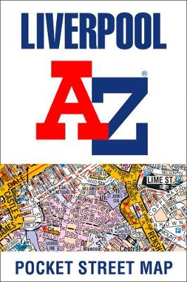
This up-to-date detailed A-Z street map includes all of the 2,000 streets in and around Liverpool. As well as the city centre other areas covered are Baltic Triangle, Ropewalks, Vauxhall, Fairfield, Weavertree and Walton. The large scale 1 mile to 4.5 inch street map includes the following;* Places of interest* Postcode districts, one-way streets and