Category Archives: Travel Guides
Birmingham A-Z Pocket Street Map
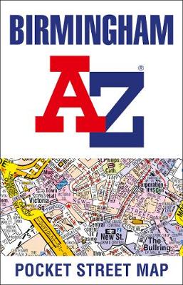
This up-to-date detailed A-Z street map includes more than 3,000 streets in and around Birmingham. As well as the city centre and St Philip`s Cathedral, the other areas covered include Moseley, Edgbaston, Small Heath, the Jewellery Quarter, Winson Green, Gib heath, Lozells, Saltley and Aston. The large-scale street map includes the following:* Places of interest*
Portsmouth A-Z Pocket Street Map
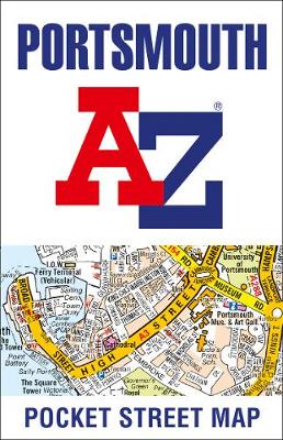
This up-to-date detailed A-Z street map includes more than 2,000 streets in and around Portsmouth. As well as ferry routes from Portsmouth Harbour, other areas covered include Southsea, Fratton, Milton Common, Hilsea and Cosham. The large-scale street map includes the following:* Places of interest* Postcode districts, one-way streets and car parks* Index to streets, places
Swansea A-Z Pocket Street Map
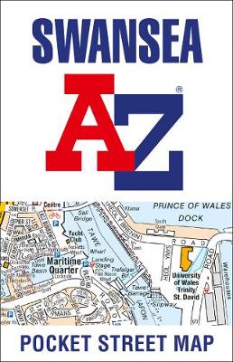
This up-to-date detailed A-Z street map includes more than 1,500 streets in and around Swansea. As well as the city centre and Swansea Maritime Quarter, the other areas covered include Brynmill, Sketty, Mayhill, Morriston and Llangyfelach. The large-scale street map includes the following:* Places of interest* Postcode districts, one-way streets and car parks* Index to
Reading A-Z Pocket Street Map
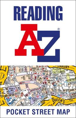
This up-to-date detailed A-Z street map includes more than 1,500 streets in and around Reading. As well as the city centre and the University of Reading, the other areas covered include Whitley, Coley Park, New Town and Caversham. The large-scale street map includes the following:* Places of interest* Postcode districts, one-way streets and car parks*
Isle of Wight A-Z Pocket Map
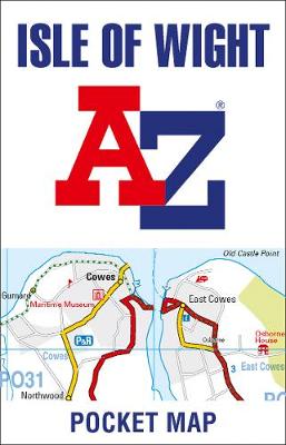
Explore the Isle of Wight with this up-to-date detailed A-Z pocket map. As well as Newport, other areas covered are The Needles, Chale, Brighstone Forrest, Hamstead, Osbourne House, Bembridge, Sandown and St Lawrence. The large-scale map includes the following:* Places of interest, coastal path* Postcode districts, main roads and minor roads, park and ride locations*
Weymouth A-Z Pocket Street Map
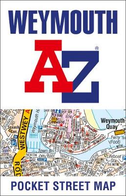
This up-to-date detailed A-Z street map includes more than 500 streets in and around Weymouth. As well as Weymouth Harbour and Weymouth Beach, the other areas covered include Portland Harbour, Wyke Regis, Lane house, Rodwell, Westham, Chickerell and Southill. The large-scale street map includes the following:* Places of interest* Postcode districts, one-way streets and car
Bournemouth A-Z Pocket Street Map
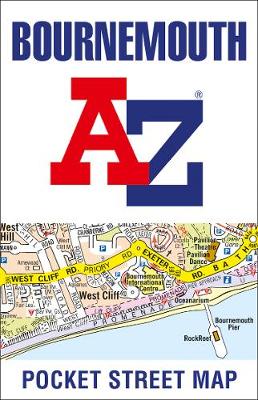
This up-to-date detailed A-Z street map includes more than 2,000 streets in and around Bournemouth. As well as Bournemouth and Boscombe piers, other areas covered are Westbourne, Talbot Village, Charminster and Pokesdown. The large-scale street map includes the following:* Places of interest* Postcode districts, one-way streets and car parks* Index to streets, places of interest,
Milton Keynes A-Z Pocket Street Map
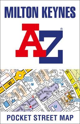
This up-to-date detailed A-Z street map includes more than 1,500 streets in and around Milton Keynes. As well as Central Milton Keynes, the other areas covered include Shenley Church End, Walton Hall, Monkston, Willen Lake, Pennyland, Great Linford, Bradville and Heelands. The large-scale street map includes the following:* Places of interest* Postcode districts, one-way streets
Lincoln A-Z Pocket Street Map
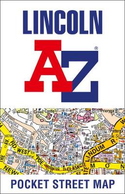
This up-to-date detailed A-Z street map includes more than 1,000 streets in and around Lincoln. As well as Lincoln Castle and Lincoln Cathedral, the other areas covered include Bracebridge Low Fields, Boultham Moor, South Common, Canwick, West Common and St Giles. The large-scale street map includes the following:* Places of interest* Postcode districts, one-way streets
Nottingham A-Z Pocket Street Map
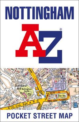
This up-to-date detailed A-Z street map includes more than 3,000 streets in and around Nottingham. As well as Nottingham Castle and Lace Market, the other areas covered include Willford Village, Dunkirk, the Meadows, New Lenton, Old Radford, Thorneywood, Alexandra Park, Aspley, Forest Fields, Highbury Vale and Woodthorpe. The large-scale street map includes the following:* Places
Nottingham A-Z Street Atlas
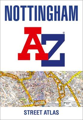
Navigate your way around Nottingham with this detailed and easy-to-use A-Z Street Atlas. Printed in full-colour, paperback format, this atlas contains 74 pages of continuous street mapping. The main mapping extends beyond central Nottingham at a scale of 4 inches to 1 mile, featuring postcode districts, one-way streets, park and ride sites, and safety camera
Britain and Northern Ireland Collins Big Road Atlas 2022 A3 PAPERBACK
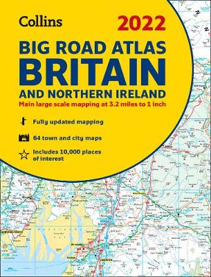
The ultimate 3.2 miles to 1 inch scale large format paperback road atlas of Britain, featuring Collins` popular and well established road mapping, and designed for exceptional clarity and ease of use. The atlas has a wide range of urban area maps at even larger scale and 64 detailed town centre street plans. This fully
Cardiff A-Z Street Atlas
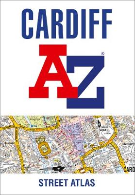
Navigate your way around Cardiff with this detailed and easy-to-use A-Z Street Atlas. Printed in full-colour, paperback format, this atlas contains 107 pages of continuous street mapping. The main mapping covers Cardiff and Newport at a scale of 4 inches to 1 mile, featuring postcode districts, one-way streets, park and ride sites, and safety camera
Southampton A-Z Street Atlas
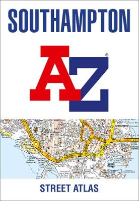
Navigate your way around Southampton with this detailed and easy-to-use A-Z Street Atlas. Printed in full-colour, paperback format, this atlas contains 50 pages of continuous street mapping. The main mapping extends beyond central Southampton at a scale of 4 inches to 1 mile, featuring postcode districts, one-way streets, park and ride sites, and safety camera
Edinburgh A-Z Street Atlas
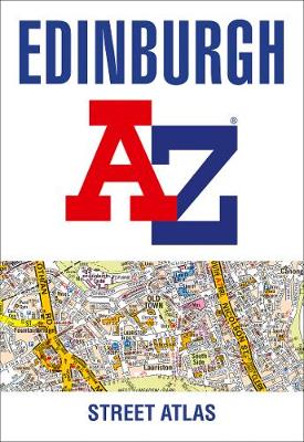
Navigate your way around Edinburgh with this detailed and easy-to-use A-Z Street Atlas. Printed in full-colour, paperback format, this atlas contains 45 pages of continuous street mapping. The main mapping extends beyond central Edinburgh at a scale of 3.33 inches to 1 mile, featuring postcode districts, one-way streets, park and ride sites, and safety camera
Portsmouth A-Z Street Atlas
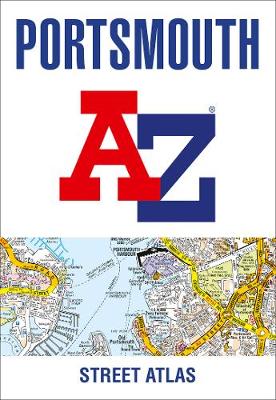
Navigate your way around Portsmouth with this detailed and easy-to-use A-Z Street Atlas. Printed in full-colour, paperback format, this atlas contains 54 pages of continuous street mapping. The main mapping extends beyond central Portsmouth at a scale of 4 inches to 1 mile, featuring postcode districts, one-way streets, park and ride sites, and safety camera
Brighton and Worthing A-Z Street Atlas
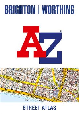
Navigate your way around Brighton and Worthing with this detailed and easy-to-use A-Z Street Atlas. Printed in full-colour, paperback format, this atlas contains 41 pages of continuous street mapping. The main mapping extends to Hove, Newhaven, Shoreham-by-Sea at a scale of 4 inches to 1 mile, featuring postcode districts, one-way streets, park and ride sites,
Leicester A-Z Pocket Street Map
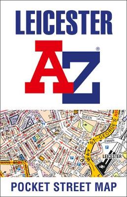
This up-to-date detailed A-Z street map includes more than 2,000 streets in and around Leicester. As well as the city centre and Leicester Cathedral, the other areas covered include Braunstone Town, Victoria Park, Evington, Humberstone, Belgrave and Glenfield Hospital. This street map includes the following: Places of interestPostcode districts, one-way streets and car parksIndex to
Norwich A-Z Pocket Street Map
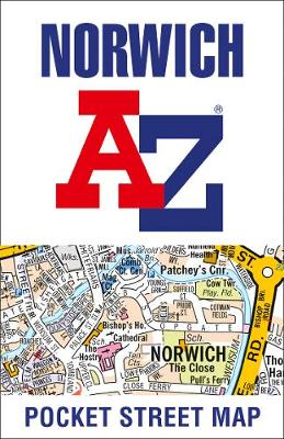
This up-to-date detailed A-Z street map includes more than 2,000 streets in and around Norwich. As well as the Norwich Cathedral and central Norwich, the other areas covered include Cringleford, Lakenham, Whitlingham Country Park, Thorpe St Andrew, New Catton and Hellesdon. The large-scale street map includes the following:* Places of interest* Postcode districts, one-way streets
Southampton A-Z Pocket Street Map

This up-to-date detailed A-Z street map includes more than 2,000 streets in and around Southampton. As well as Ocean Village and Southampton Common, the other areas covered include Woolston, Itchen, Shirley, Bitterne, Portswood, Bassett and North Stoneham. The large-scale street map includes the following:* Places of interest* Postcode districts, one-way streets and car parks* Index