Category Archives: Travel Guides
Savage Summit
Here is narrative nonfiction at its most gripping. Journalist Jennifer Jordan chronicled the individual stories of the five courageous women who have climbed K2, the most fearsome mountain in the world. Climbers call K2 “The Savage Mountain.” It is not quite as tall as Everest, but it is far more dangerous, located at the border
Seasons On Harris
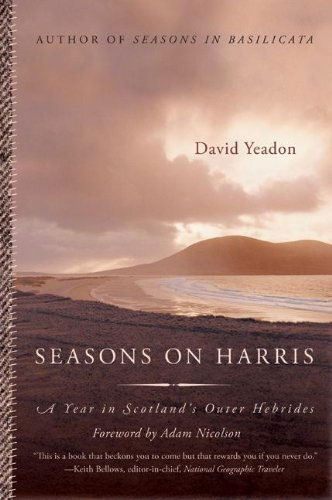
For many armchair travelers the Outer Hebrides of Scotland epitomize the beauty and remoteness of island life. And the most dramatic of all the Hebrides is Harris, where the legendary Harris Tweed is woven by local crofters, reflecting the strength, durability, and integrity of life on Harris. Harris has dramatic mountains and huge, pristine sandy
The Widow Clicquot
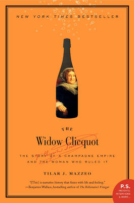
Veuve Clicquot champagne epitomizes glamour and style, with tribute paid everywhere from Lord Byron to Casablanca. But who was this young widow – the `Veuve` – Clicquot, whose champagne sparkled at the courts of France, Britain, and Russia, and how did she rise to celebrity and fortune? Newly widowed, she assumed the reins of the
Lovers at the Chameleon Club, Paris 1932: A Novel
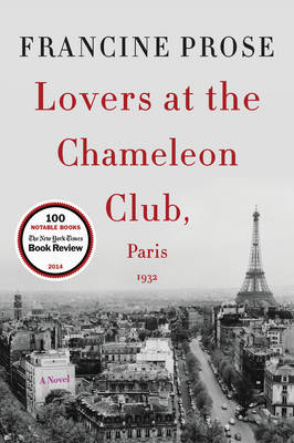
A richly imagined and stunningly inventive literary masterpiece of love, art, and betrayal, exploring the genesis of evil, the unforeseen consequences of love, and the ultimate unreliability of storytelling itself. Paris in the 1920s shimmers with excitement, dissipation, and freedom. It is a place of intoxicating ambition, passion, art, and discontent, where louche jazz venues
The Hotel on Place Vendaome: Life, Death, and Betrayal at the Hotel Ritz in Paris
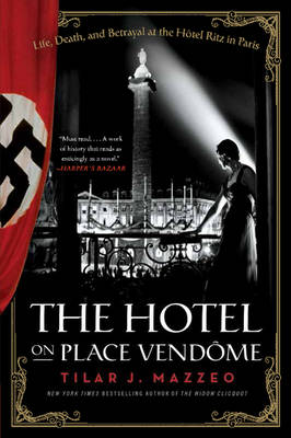
Established in 1898 in the heart of Paris on the Place Vendome, the Hotel Ritz instantly became an icon of the city frequented by film stars and celebrity writers, American heiresses and risque flappers, politicians, playboys, and princes. In June 1940, when France fell to the Germans, orders from Berlin specified that the Hotel Ritz
Going Rougue: An American Life

From her humble beginnings to her time in the spotlight as the first female Republican Vice Presidential candidate, Sarah Palin has led an extraordinary life. “Going Rogue” will recount her political experiences, her time as Mayor of Wasilla and as the first female governor of Alaska, as well as her rapid rise on the national
Greater Manchester A-Z Street Atlas
This street atlas of Greater Manchester is a full-colour paperback and features 122 pages of continuous street mapping which extends to include, BoltonBuryOldhamWiganRochdaleSalfordStockportAshton-in-MakerfieldAltrinchamAshton-under-LyneCheadleLeighLittleboroughMacclesfieldRamsbottomStalybridgeStandishWilmslow There is separate coverage of Knutsford and large scale city and town centre maps of:* Manchester* Altrincham* Ashton-under-Lyne* Bolton* Bury* Oldham*Rochdale* Stockport* Wigan Postcode districts, one-way streets, safety camera locations with their
United States of Americana
Reacting against the accelerating pace of modern life and too-much-information technology, young urban dwellers are carving out a new space, one brilliantly surveyed in “United States of Americana”. Here we find barbers who instruct men to unplug the Norelco and try their (shaky) hand at shaving with a straight razor; manufacturers of high-end leather goods
Liverpool A-Z Street Atlas
This street atlas of Liverpool is a full colour, paperback featuring 120 pages of continuous street mapping which extends to include: MaghullCrosbyBootleKirkbyPrescotHuytonSt. HelensHaydockWidnesRuncornWallaseyBirkenheadWest KirbyHeswall Also included is:*a large scale city centre map of Liverpool*a postcode map of the Liverpool area*a Liverpool rail connections map, featured on the outside back cover Postcode districts, one-way streets, park
Orphan Train: A Novel

Nearly 18 years old, Molly Ayer knows she just has one chance. Just months from `aging out` of the welfare system and close to being kicked out of her foster home. A community service position helping an elderly woman, Vivian Daly, clear out her home is the only thing keeping her out of juvie or
The Burpee Bears

Meet the Burpee Bears in this glorious picture book created by the Nation`s Favourite PE Teacher, Joe Wicks!For this bear family, every day is a new day: a day for adventure and discovery, and true to Joe`s ethos, each book will feature a fun and positive story with added exercises and recipes – perfect for
The Village: 400 Years of Beats and Bohemians, Radicals and Rogues, a History of Greenwich Village
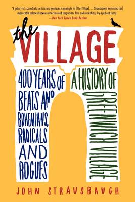
Cultural commentator John Strausbaugh`s The Village is the first complete history of Greenwich Village, the prodigiously influential and infamous New York City neighborhood. From the Dutch settlers and Washington Square patricians, to the Triangle Shirtwaist fire and Prohibition-era speakeasies; from Abstract Expressionism and beatniks, to Stonewall and AIDS, the connecting narratives of The Village tell
Greater London A-Z Master Atlas
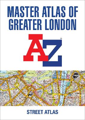
This is a comprehensive paperback street atlas of London encompassing an area of 1450 square miles with coloured street mapping, and includes more than 90,000 streets and other addresses. The coverage extends beyond the Greater London and M25 area to: Hemel HempsteadSt. AlbansPotters BarWaltham CrossEppingBrentwoodThurrockStanford-le-HopeGravesendWrothamSevenoaksWesterhamOxtedRedhillReigateLeatherheadGreat BookhamWokingEghamWindsorSloughChalfont St. PeterChorleywoodBovingdon There are eighteen pages of large scale
Paris at the End of the World: How the City of Lights Soared in its Darkest Hour, 1914-1918
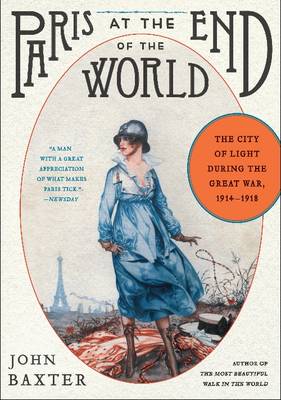
A preeminent writer on Paris, John Baxter brilliantly brings to life one of the most dramatic and fascinating periods in the city`s history. During World War I, the terrifying sounds of the nearby front could be heard from inside the French capital; Germany`s “Paris Gun” and enemy aviators routinely bombarded the city.And yet in its
Great Britain & Northern Ireland A-Z Road Atlas 2023 A3 PAPERBACK
A large A3-size, full colour, paperback road atlas, fully revised and updated. Clear detailed road mapping at a mainland map scale of 3.5 miles to 1 inch, 2.22 km to 1 cm. This essential road atlas includes the following:* 11 pages of main route mapping covering Greater London, Birmingham and Manchester* Route planning maps* Mileage
Great Britain A-Z Handy Road Atlas 2023 A5 SPIRAL-BOUND
A compact A5-size full colour, spiral bound road atlas, now fully revised and updated. Clear detailed road mapping at a mainland map scale of 5 miles to 1 inch. Easily stored in a glove box or door pocket. Instantly recognisable and easy to use, the road mapping has been specifically tailored for the smaller scale
Great Britain A-Z Road Atlas 2023 A4 SPIRAL-BOUND
An A4-size, spiral bound, full colour road atlas, now fully revised and updated. Clear detailed road mapping at a mainland map scale of 3.5 miles to 1 inch, 2.22 km to 1 cm. This essential road atlas includes the following: 11 pages of main route mapping covering Greater London, Birmingham and ManchesterRoute planning mapsMileage chart
Great Britain & Northern Ireland A-Z Super Scale Road Atlas 2023 A3 SPIRAL-BOUND
A large scale A3-size, easy-read, spiral bound road atlas, now fully revised and updated. Clear detailed road mapping at a mainland map scale of 2.5 miles to 1 inch. This large format road atlas includes the following 11 pages of main route mapping covering Greater London, Birmingham and ManchesterRoute planning mapMileage chart with average journey
Northern England Regional A-Z Road Atlas
A full colour regional road atlas featuring 52 pages of road mapping that covers an area extending to: Berwick-upon-TweedNewcastle upon TyneMiddlesbroughKingston upon HullGrimsbyBostonNottinghamStoke-on-TrentWrexhamChesterLiverpoolBlackpoolBarrow-in-FurnessDumfries The road mapping is shown at a clear 3.5 miles to 1 inch scale (2.2 km to 1 cm) and includes the following features: Motorways open with full junction detail, motorways under
Norfolk Broads Collins Nicholson Waterways Guide
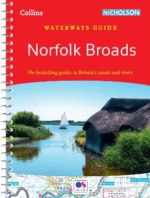
Norfolk Broads Waterways Guide published by Collins under their Nicholson imprint in a series of spiral-bound guides to Britain’s inland waterways. The guide covers the Broads National Park, including the Norfolk and Suffolk Broads, and the rivers Waveney, Yare, Bure, Ant, Thurne and Chet. The Norfolk Broads guide has a much bigger introductory section than