Category Archives: Travel Guides
CEN302E Lake Ontario,1996 – CHS Sailing Directions
Sailing Directions offer detailed descriptions of the best approaches to harbours, harbour facilities, anchorages, local history and regulations. They are the indispensable companions to charts.
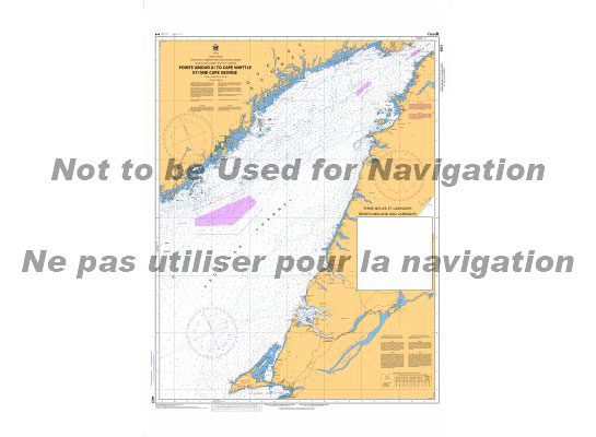
CHS Chart 4021 – Pointe Amour to Cape Whittle and Cape George

The official Canadian charts provide an excellent range of scales for the whole length of Canada`s coastline as well as the Grat Lakes and comply with Safety of Life at Sea (SOLAS) regulations.PLEASE NOTE: Canadian Hydrographic Service charts are ordered on demand, please allow 1-2 weeks for the order to arrive at Stanfords.
INTERTANKO Guide to Terminal Conditions of Use
Many oil and gas terminals require the Master to sign ‘Conditions of Use’ before being admitted to berth at the terminal. These COUs are often presented at short notice and contain onerous terms that are balanced against shipowners.This publication highlights the difficulties this may cause and provides a number of tools designed to produce fair
CHS Chart 4022 – Cabot Strait and Approaches
The official Canadian charts provide an excellent range of scales for the whole length of Canada`s coastline as well as the Grat Lakes and comply with Safety of Life at Sea (SOLAS) regulations.PLEASE NOTE: Canadian Hydrographic Service charts are ordered on demand, please allow 1-2 weeks for the order to arrive at Stanfords.
CHS Chart 4000 – Gulf of Maine to Baffin Bay
PLEASE NOTE: Canadian Hydrographic Service charts are ordered on demand, please allow 1-2 weeks for the order to arrive at Stanfords.The official Canadian charts provide an excellent range of scales for the whole length of Canada`s coastline as well as the Grat Lakes and comply with Safety of Life at Sea (SOLAS) regulations.
NO6 NV Atlas Norway, Sรธrvestlandet Nord – Stavanger til Haugesund
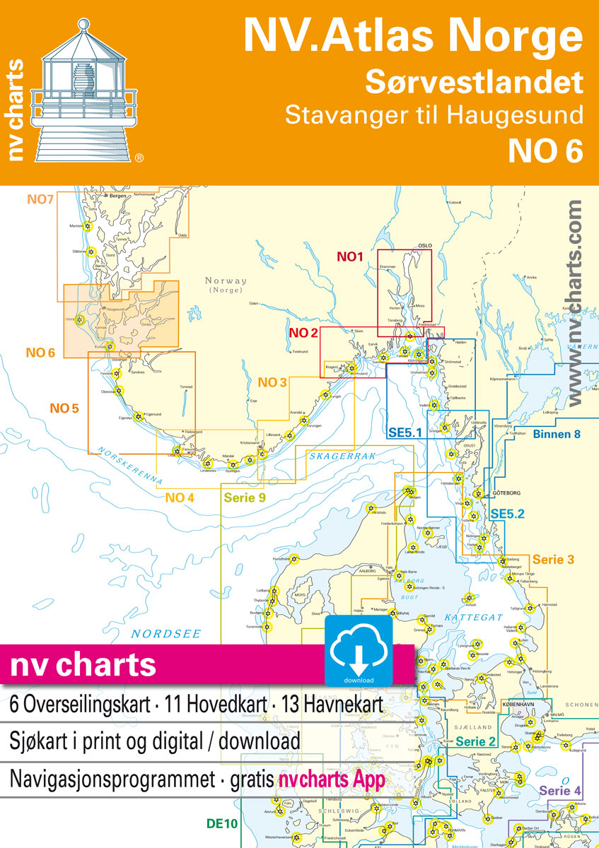
Passage ChartsC1 Bรธmlo to Flekkefjord 1: 375,000C23 Norway ยท Oslo to Mo-i-Rana 1: 1.750.000C24 Norway ยท Mo-i-Rana to Kirkenes 1: 1.750.000C25 North Atlantic Ocean 1: 14.500.000Coastal ChartsC2 Stavanger to Hรฅsteinsfjord 1: 40,000C3 Hรฅsteinsfjord to Stavanger 1: 40,000C4 Finnรธyfjord ยท Fognafjord 1: 40,000C5 Boknafjorden to Finnรธy 1: 40,000C6 Skudenesfjord 1: 40,000C7 Sirafj. ยท Skudeneshavn to ร…krehamn
IALA Buoyage – Area A Flip Cards (0061)
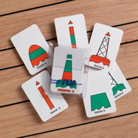
All mariners need a comprehensive knowledge of the buoyage rules and should be able instantly to identify a mark at first sight. These Flip Cards show 31 different buoys and navigational marks in colour, with the meaning and position, together with the light characteristics on the back of the card. Both the Cardinal and IALA
Meteorology Flip Cards (0066)
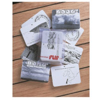
This pack covers Meteorology in UK waters with particular relevance to the RYA courses. The essential definitions are dealt with and wind forces and their effect on sea states are well illustrated. there are also a number of photographs of cloud formations and the resulting weather systems. These cards have questions and answers on both
Marine Radio Flip Cards (0067)
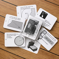
A new set of Flip Cards covering the recent (and developing) GMDSS systems which are becoming universal. The cards show equipment and procedures for HF, VHF and MF, including Digital Selective Calling. Seamen preparing for the General Operators Certificate or the Long Range Certificate will find the cards particularly useful, while yachtsmen should also be
International Code Flags Flip Cards (0060)
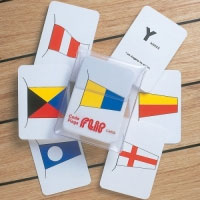
Each card shows a flag of the International Code in colour on the face, with the signal letter or number and the meaning of the signal flag on the reverse. The phonetic spelling of the letter is also shown, making the set doubly useful. Although no longer required by some yachting authorities, professional seamen and
Guidelines for Offshore Tanker Operations
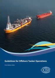
This new publication (released Agust 2018) aims to provide guidance on the general principles, procedures and equipment involved for mooring and cargo transfer of crude oil and other petroleum products.This publication updates and supersedes the following OCIMF publications:’: Offshore Loading Safety Guidelines with Special Relevance to Harsh Weather Zones.’: Tandem Mooring and Offloading Guidelines for
134 Port of Copenhagen
Official charts for the coast of Denmark produced by the Danish Hydrographic Office. The charts are ordered upon customer demand, therefore please contact us if you require the charts urgently.For any further information, you can contact maritime@stanfords.co.uk.Plans included in this chart:- Copenhagen, Northern part 1:10 000- Copenhagen, Southern part 1:20 000- Inderhavnsbroen- Knippelsbro- Langebro- Bryggebroen-
SHOM Chart 7427 – La Gironde – De Mortagne-sur-Gironde au Bec d’Ambรจs – La Garonne et la Dordogne jusqu’ร Bordeaux et Libourne
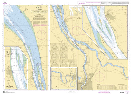
PLEASE NOTE: the chart will be ordered for you if not currently in stock. Please allow 1-2 weeks for the chart to reach Stanfords. SHOM charts are produced by the French Government and comply with Safety of Life at Sea (SOLAS) regulations. They are ideal for professional, commercial and recreational use. Charts within the series
P240 St. Lawrence Estuary – CHS Tidal Current Atlas
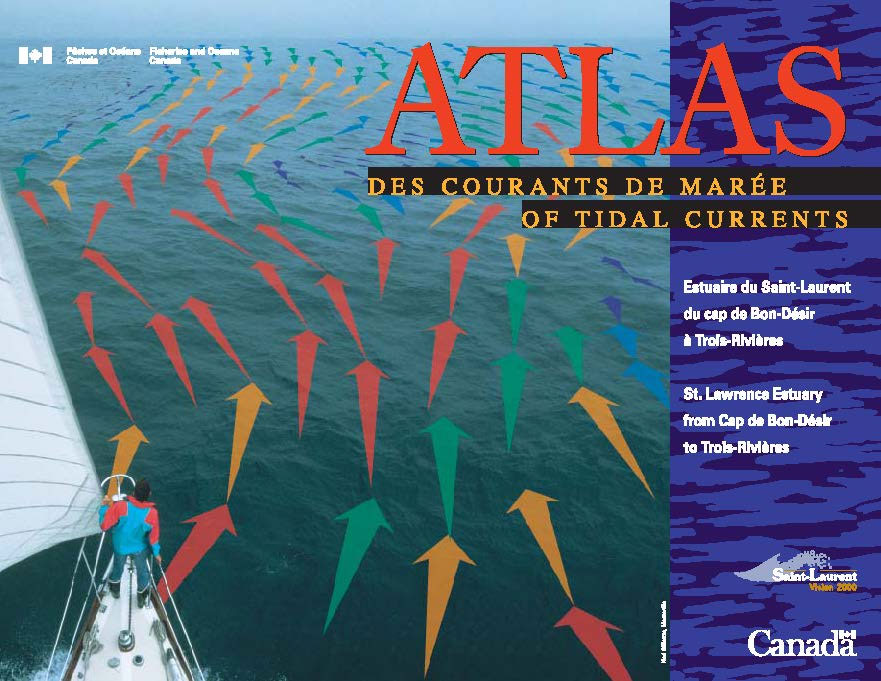
Tidal Current Atlases present a comprehensive view of the hourly rate and direction of major tidal currents within specific coastal regions of Canada.The Atlases use arrows to indicate the direction and the velocity of surface currents. They are to be used in conjunction with the Canadian Tide and Current Tables provided annually by the Canadian
SHOM Chart 7427L – La Gironde – De Mortagne-sur-Gironde au Bec d’Ambรจs – La Garonne et la Dordogne jusqu’ร Bordeaux et Libourne – Leisure A4 size
LEISURE FORMAT – FOLDED TO A4 SIZE AND PRINTED ON WATER RESISTANT PAPER.PLEASE NOTE: the chart will be ordered for you if not currently in stock. Please allow 1-2 weeks for the chart to reach Stanfords. SHOM charts are produced by the French Government and comply with Safety of Life at Sea (SOLAS) regulations. They
P241 Bay of Fundy and Gulf of Maine – CHS Tidal Current Atlas
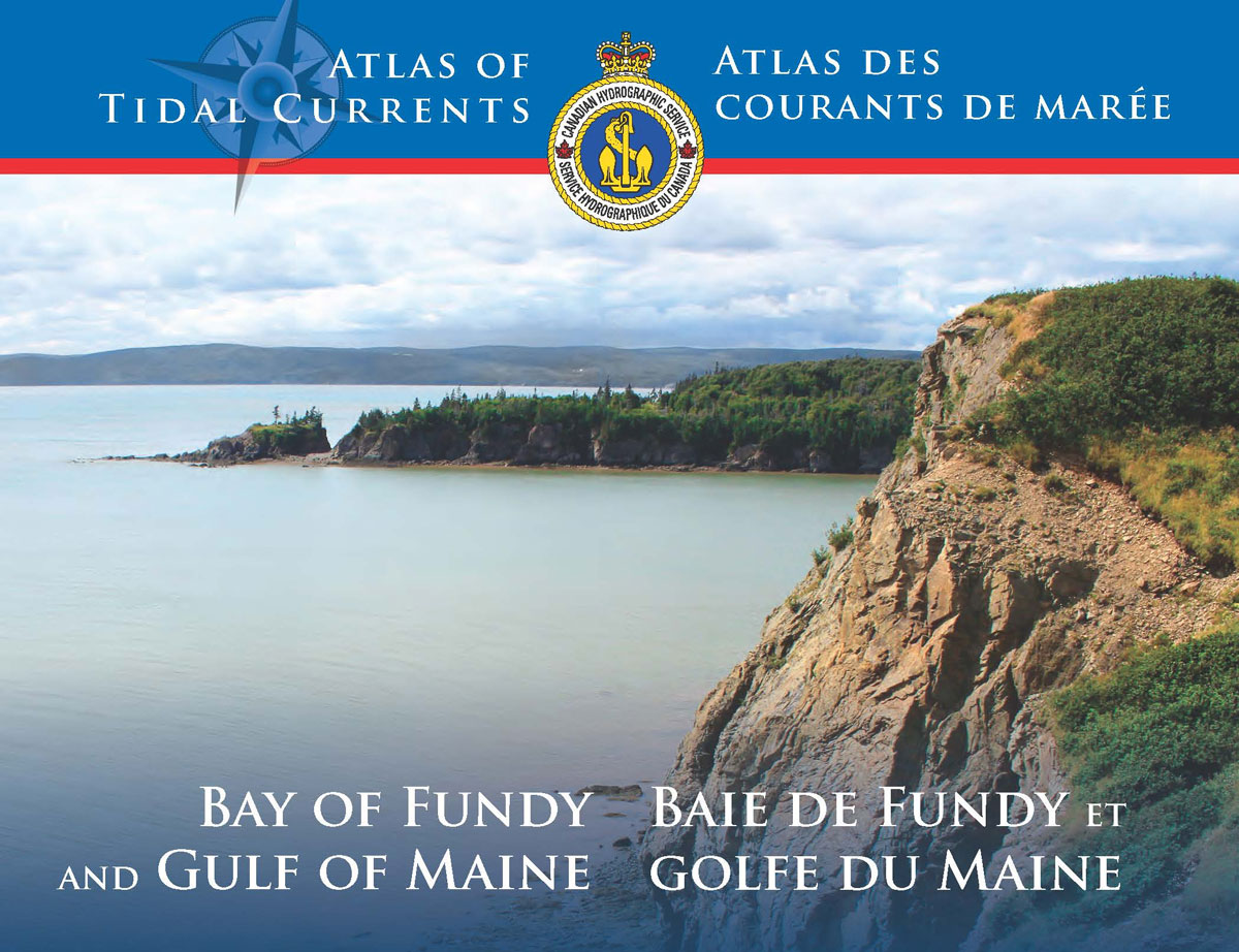
Tidal Current Atlases present a comprehensive view of the hourly rate and direction of major tidal currents within specific coastal regions of Canada.The Atlases use arrows to indicate the direction and the velocity of surface currents. They are to be used in conjunction with the Canadian Tide and Current Tables provided annually by the Canadian
Admiralty Chart 4178 – Table Bay to East London

Admiralty standard nautical charts comply with Safety of Life at Sea (SOLAS) regulations and are ideal for professional, commercial and recreational use. Charts within the series consist of a range of scales, useful for passage planning, ocean crossings, coastal navigation and entering port.Standard Admiralty charts are folded to fit in a chart table drawer. If
P250 Tides in Canadian Waters
This booklet provides a general explanation of tidal forces and specific information about Canada’s tides. It covers tides on the East Coast (including off Newfoundland and Labrador, Nova Scotia, Bay of Fundy, St. Lawrence and Saguenay), the Great Lakes, the Arctic (including Hudson Strait, Hudson Bay, Foxe Basin, Davis Strait), and the West Coast (including
Admiralty Chart 4179 – East London to Richards Bay

Admiralty standard nautical charts comply with Safety of Life at Sea (SOLAS) regulations and are ideal for professional, commercial and recreational use. Charts within the series consist of a range of scales, useful for passage planning, ocean crossings, coastal navigation and entering port.Standard Admiralty charts are folded to fit in a chart table drawer. If
ARC400E General Information on Northern Canada, 2009 – CHS Sailing Directions
Sailing Directions offer detailed descriptions of the best approaches to harbours, harbour facilities, anchorages, local history and regulations. They are the indispensable companions to charts.