Category Archives: Travel Guides
CHS Chart 3312 – Jervis Inlet & Desolation Sound and Adjacent Waterways
****CHS are revising the current 2007 edition, which will be soon out of date. Publication date not announced yet.****This is a spiral bound chart book with 24 pages of nautical charts & 14 informational pages. Includes coverage for the Jervis Inlet & Desolation Sound area including – Texada Island, Lasqueti Island, Sechelt, Qualicum Beach, Campbell
CHS Chart 4045 – Sable Island Bank to St. Pierre Bank
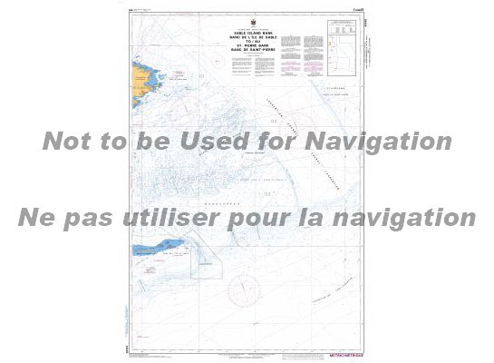
The official Canadian charts provide an excellent range of scales for the whole length of Canada`s coastline as well as the Grat Lakes and comply with Safety of Life at Sea (SOLAS) regulations.PLEASE NOTE: Canadian Hydrographic Service charts are ordered on demand, please allow 1-2 weeks for the order to arrive at Stanfords.
CHS Chart 4047 – St. Pierre Bank to Whale Bank
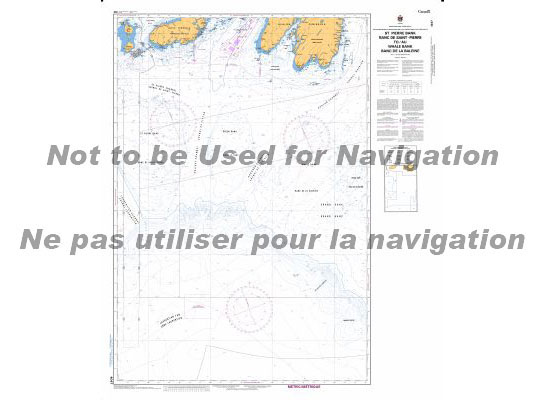
The official Canadian charts provide an excellent range of scales for the whole length of Canada`s coastline as well as the Grat Lakes and comply with Safety of Life at Sea (SOLAS) regulations.PLEASE NOTE: Canadian Hydrographic Service charts are ordered on demand, please allow 1-2 weeks for the order to arrive at Stanfords.
CHS Chart 4049 – Grand Bank, Northern Portion to Flemish Pass
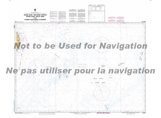
The official Canadian charts provide an excellent range of scales for the whole length of Canada`s coastline as well as the Grat Lakes and comply with Safety of Life at Sea (SOLAS) regulations.PLEASE NOTE: Canadian Hydrographic Service charts are ordered on demand, please allow 1-2 weeks for the order to arrive at Stanfords.
CHS Chart 4255 – Georges Bank, Eastern Portion
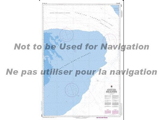
The official Canadian charts provide an excellent range of scales for the whole length of Canada`s coastline as well as the Grat Lakes and comply with Safety of Life at Sea (SOLAS) regulations.PLEASE NOTE: Canadian Hydrographic Service charts are ordered on demand, please allow 1-2 weeks for the order to arrive at Stanfords.
CHS Chart 4010 – Bay of Fundy
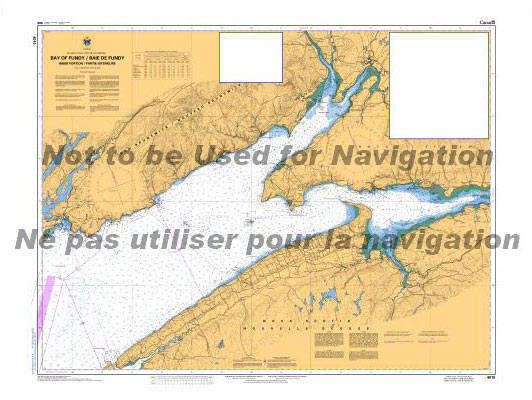
The official Canadian charts provide an excellent range of scales for the whole length of Canada`s coastline as well as the Grat Lakes and comply with Safety of Life at Sea (SOLAS) regulations.PLEASE NOTE: Canadian Hydrographic Service charts are ordered on demand, please allow 1-2 weeks for the order to arrive at Stanfords.
CHS Chart 4011 – Approaches to Bay of Fundy
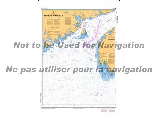
The official Canadian charts provide an excellent range of scales for the whole length of Canada`s coastline as well as the Grat Lakes and comply with Safety of Life at Sea (SOLAS) regulations.PLEASE NOTE: Canadian Hydrographic Service charts are ordered on demand, please allow 1-2 weeks for the order to arrive at Stanfords.
CHS Chart 4012 – Yarmouth to Halifax
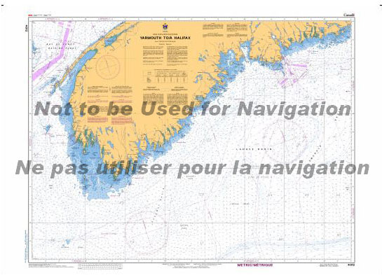
The official Canadian charts provide an excellent range of scales for the whole length of Canada`s coastline as well as the Grat Lakes and comply with Safety of Life at Sea (SOLAS) regulations.PLEASE NOTE: Canadian Hydrographic Service charts are ordered on demand, please allow 1-2 weeks for the order to arrive at Stanfords.
CHS Chart 4016 – Saint-Pierre to S. John`s
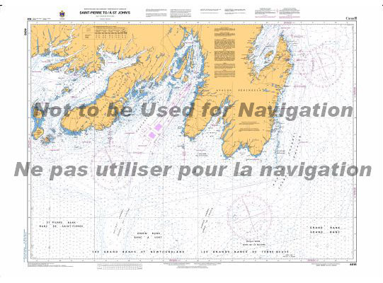
The official Canadian charts provide an excellent range of scales for the whole length of Canada`s coastline as well as the Grat Lakes and comply with Safety of Life at Sea (SOLAS) regulations.PLEASE NOTE: Canadian Hydrographic Service charts are ordered on demand, please allow 1-2 weeks for the order to arrive at Stanfords.
ATL100E General Information on Atlantic Coast, 2007 – CHS Sailing Directions

Sailing Directions offer detailed descriptions of the best approaches to harbours, harbour facilities, anchorages, local history and regulations. They are the indispensable companions to charts.
CHS Chart 4017 – Cape Race to Cape Freels
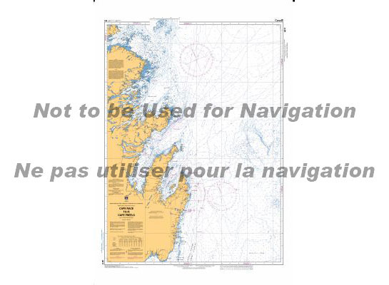
The official Canadian charts provide an excellent range of scales for the whole length of Canada`s coastline as well as the Grat Lakes and comply with Safety of Life at Sea (SOLAS) regulations.PLEASE NOTE: Canadian Hydrographic Service charts are ordered on demand, please allow 1-2 weeks for the order to arrive at Stanfords.
ATL106E Gulf of Maine and Bay of Fundy, 2001 – CHS Sailing Directions
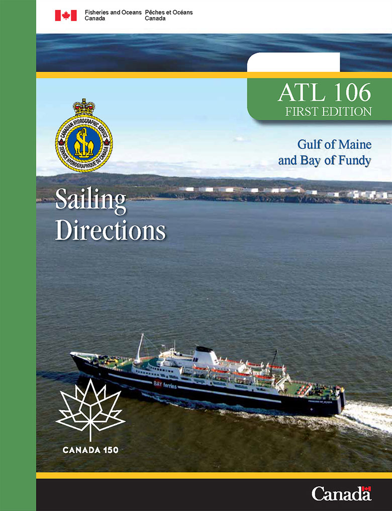
Sailing Directions offer detailed descriptions of the best approaches to harbours, harbour facilities, anchorages, local history and regulations. They are the indispensable companions to charts.
CHS Chart 4020 – Strait of Belle Isle
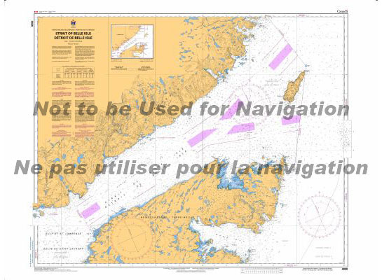
The official Canadian charts provide an excellent range of scales for the whole length of Canada`s coastline as well as the Grat Lakes and comply with Safety of Life at Sea (SOLAS) regulations.PLEASE NOTE: Canadian Hydrographic Service charts are ordered on demand, please allow 1-2 weeks for the order to arrive at Stanfords.
CEN302E Lake Ontario,1996 – CHS Sailing Directions
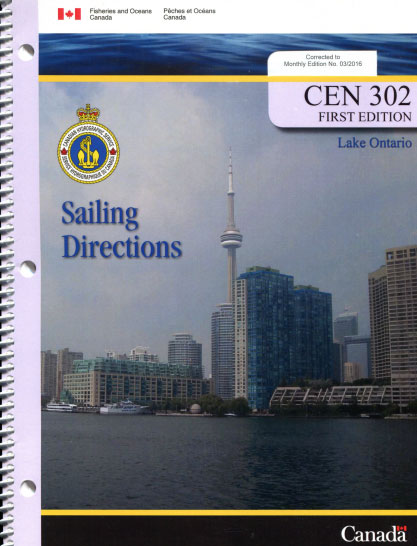
Sailing Directions offer detailed descriptions of the best approaches to harbours, harbour facilities, anchorages, local history and regulations. They are the indispensable companions to charts.
CHS Chart 4021 – Pointe Amour to Cape Whittle and Cape George

The official Canadian charts provide an excellent range of scales for the whole length of Canada`s coastline as well as the Grat Lakes and comply with Safety of Life at Sea (SOLAS) regulations.PLEASE NOTE: Canadian Hydrographic Service charts are ordered on demand, please allow 1-2 weeks for the order to arrive at Stanfords.
INTERTANKO Guide to Terminal Conditions of Use
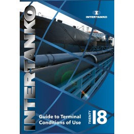
Many oil and gas terminals require the Master to sign ‘Conditions of Use’ before being admitted to berth at the terminal. These COUs are often presented at short notice and contain onerous terms that are balanced against shipowners.This publication highlights the difficulties this may cause and provides a number of tools designed to produce fair
CHS Chart 4022 – Cabot Strait and Approaches
The official Canadian charts provide an excellent range of scales for the whole length of Canada`s coastline as well as the Grat Lakes and comply with Safety of Life at Sea (SOLAS) regulations.PLEASE NOTE: Canadian Hydrographic Service charts are ordered on demand, please allow 1-2 weeks for the order to arrive at Stanfords.
CHS Chart 4000 – Gulf of Maine to Baffin Bay
PLEASE NOTE: Canadian Hydrographic Service charts are ordered on demand, please allow 1-2 weeks for the order to arrive at Stanfords.The official Canadian charts provide an excellent range of scales for the whole length of Canada`s coastline as well as the Grat Lakes and comply with Safety of Life at Sea (SOLAS) regulations.
CHS Chart 4001 – Gulf of Maine to Strait of Belle Isle
The official Canadian charts provide an excellent range of scales for the whole length of Canada`s coastline as well as the Grat Lakes and comply with Safety of Life at Sea (SOLAS) regulations.PLEASE NOTE: Canadian Hydrographic Service charts are ordered on demand, please allow 1-2 weeks for the order to arrive at Stanfords.
CHS Chart 4002 – Gulf of St. Lawrence
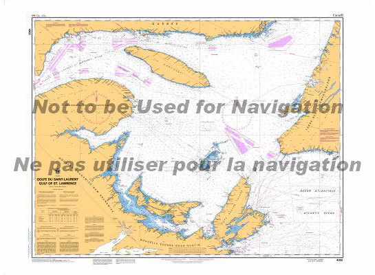
The official Canadian charts provide an excellent range of scales for the whole length of Canada`s coastline as well as the Grat Lakes and comply with Safety of Life at Sea (SOLAS) regulations.PLEASE NOTE: Canadian Hydrographic Service charts are ordered on demand, please allow 1-2 weeks for the order to arrive at Stanfords.