Category Archives: Travel Guides
CHS Chart 3854 – Tasu Sound to Port Louis
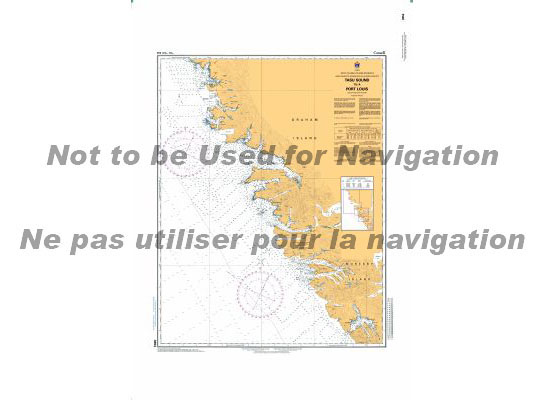
The official Canadian charts provide an excellent range of scales for the whole length of Canada`s coastline as well as the Grat Lakes and comply with Safety of Life at Sea (SOLAS) regulations. PLEASE NOTE: Canadian Hydrographic Service charts are ordered on demand, please allow 1-2 weeks for the order to arrive at Stanfords.
CHS Chart 3902 – Hecate Strait
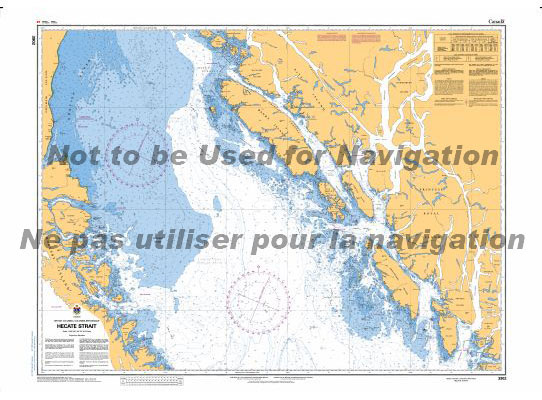
The official Canadian charts provide an excellent range of scales for the whole length of Canada`s coastline as well as the Grat Lakes and comply with Safety of Life at Sea (SOLAS) regulations. PLEASE NOTE: Canadian Hydrographic Service charts are ordered on demand, please allow 1-2 weeks for the order to arrive at Stanfords.
CHS Chart 3933 – Portland Canal and Observatory Inlet
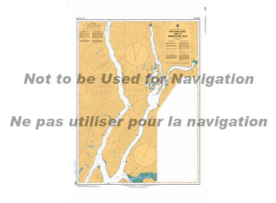
The official Canadian charts provide an excellent range of scales for the whole length of Canada`s coastline as well as the Grat Lakes and comply with Safety of Life at Sea (SOLAS) regulations. PLEASE NOTE: Canadian Hydrographic Service charts are ordered on demand, please allow 1-2 weeks for the order to arrive at Stanfords.
CHS Chart 7010 – Davis Strait and Baffin Bay
The official Canadian charts provide an excellent range of scales for the whole length of Canada`s coastline as well as the Grat Lakes and comply with Safety of Life at Sea (SOLAS) regulations. PLEASE NOTE: Canadian Hydrographic Service charts are ordered on demand, please allow 1-2 weeks for the order to arrive at Stanfords.
CHS Chart 7600 – Beaufort Sea
The official Canadian charts provide an excellent range of scales for the whole length of Canada`s coastline as well as the Grat Lakes and comply with Safety of Life at Sea (SOLAS) regulations. PLEASE NOTE: Canadian Hydrographic Service charts are ordered on demand, please allow 1-2 weeks for the order to arrive at Stanfords.
CHS Chart 4025 – Cap Whittle to Havre-Saint-Pierre and Ile d`Anticosti
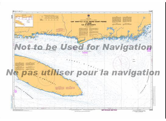
The official Canadian charts provide an excellent range of scales for the whole length of Canada`s coastline as well as the Grat Lakes and comply with Safety of Life at Sea (SOLAS) regulations.PLEASE NOTE: Canadian Hydrographic Service charts are ordered on demand, please allow 1-2 weeks for the order to arrive at Stanfords.
CHS Chart 3002 – Queen Charlotte Sound to Dixon Entrance
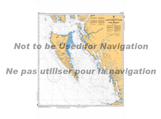
The official Canadian charts provide an excellent range of scales for the whole length of Canada`s coastline as well as the Grat Lakes and comply with Safety of Life at Sea (SOLAS) regulations. PLEASE NOTE: Canadian Hydrographic Service charts are ordered on demand, please allow 1-2 weeks for the order to arrive at Stanfords.
CHS Chart 4026 – Havre-Saint-Pierre and Cap des Rosiers to Pointe des Monts
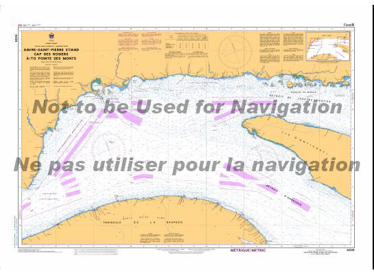
The official Canadian charts provide an excellent range of scales for the whole length of Canada`s coastline as well as the Grat Lakes and comply with Safety of Life at Sea (SOLAS) regulations.PLEASE NOTE: Canadian Hydrographic Service charts are ordered on demand, please allow 1-2 weeks for the order to arrive at Stanfords.
CHS Chart 3312 – Jervis Inlet & Desolation Sound and Adjacent Waterways
****CHS are revising the current 2007 edition, which will be soon out of date. Publication date not announced yet.****This is a spiral bound chart book with 24 pages of nautical charts & 14 informational pages. Includes coverage for the Jervis Inlet & Desolation Sound area including – Texada Island, Lasqueti Island, Sechelt, Qualicum Beach, Campbell
CHS Chart 4045 – Sable Island Bank to St. Pierre Bank
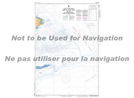
The official Canadian charts provide an excellent range of scales for the whole length of Canada`s coastline as well as the Grat Lakes and comply with Safety of Life at Sea (SOLAS) regulations.PLEASE NOTE: Canadian Hydrographic Service charts are ordered on demand, please allow 1-2 weeks for the order to arrive at Stanfords.
CHS Chart 4047 – St. Pierre Bank to Whale Bank
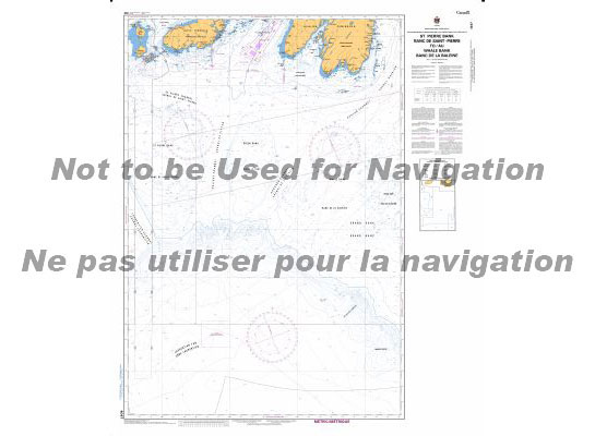
The official Canadian charts provide an excellent range of scales for the whole length of Canada`s coastline as well as the Grat Lakes and comply with Safety of Life at Sea (SOLAS) regulations.PLEASE NOTE: Canadian Hydrographic Service charts are ordered on demand, please allow 1-2 weeks for the order to arrive at Stanfords.
CHS Chart 4049 – Grand Bank, Northern Portion to Flemish Pass
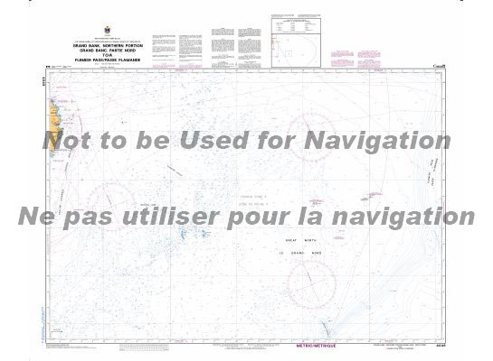
The official Canadian charts provide an excellent range of scales for the whole length of Canada`s coastline as well as the Grat Lakes and comply with Safety of Life at Sea (SOLAS) regulations.PLEASE NOTE: Canadian Hydrographic Service charts are ordered on demand, please allow 1-2 weeks for the order to arrive at Stanfords.
CHS Chart 4255 – Georges Bank, Eastern Portion
The official Canadian charts provide an excellent range of scales for the whole length of Canada`s coastline as well as the Grat Lakes and comply with Safety of Life at Sea (SOLAS) regulations.PLEASE NOTE: Canadian Hydrographic Service charts are ordered on demand, please allow 1-2 weeks for the order to arrive at Stanfords.
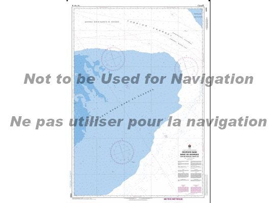
CHS Chart 8005 – Georges Bank
The official Canadian charts provide an excellent range of scales for the whole length of Canada`s coastline as well as the Grat Lakes and comply with Safety of Life at Sea (SOLAS) regulations.PLEASE NOTE: Canadian Hydrographic Service charts are ordered on demand, please allow 1-2 weeks for the order to arrive at Stanfords.
CHS Chart 8006 – Scotian Shelf, Browns Bank to Emerald Bank
The official Canadian charts provide an excellent range of scales for the whole length of Canada`s coastline as well as the Grat Lakes and comply with Safety of Life at Sea (SOLAS) regulations.PLEASE NOTE: Canadian Hydrographic Service charts are ordered on demand, please allow 1-2 weeks for the order to arrive at Stanfords.
CHS Chart 8007 – Halifax to Sable Island, including Emerald Bank and Sable Island Bank
The official Canadian charts provide an excellent range of scales for the whole length of Canada`s coastline as well as the Grat Lakes and comply with Safety of Life at Sea (SOLAS) regulations.PLEASE NOTE: Canadian Hydrographic Service charts are ordered on demand, please allow 1-2 weeks for the order to arrive at Stanfords.
CHS Chart 8010 – Grand Bank, Southern Portion
The official Canadian charts provide an excellent range of scales for the whole length of Canada`s coastline as well as the Grat Lakes and comply with Safety of Life at Sea (SOLAS) regulations.PLEASE NOTE: Canadian Hydrographic Service charts are ordered on demand, please allow 1-2 weeks for the order to arrive at Stanfords.
CHS Chart 8011 – Grand Bank, Northern Portion
The official Canadian charts provide an excellent range of scales for the whole length of Canada`s coastline as well as the Grat Lakes and comply with Safety of Life at Sea (SOLAS) regulations.PLEASE NOTE: Canadian Hydrographic Service charts are ordered on demand, please allow 1-2 weeks for the order to arrive at Stanfords.
CHS Chart 8014 – Grand Bank, Northeast Portion
The official Canadian charts provide an excellent range of scales for the whole length of Canada`s coastline as well as the Grat Lakes and comply with Safety of Life at Sea (SOLAS) regulations.PLEASE NOTE: Canadian Hydrographic Service charts are ordered on demand, please allow 1-2 weeks for the order to arrive at Stanfords.
CHS Chart 8015 – Funk Island and Approaches
The official Canadian charts provide an excellent range of scales for the whole length of Canada`s coastline as well as the Grat Lakes and comply with Safety of Life at Sea (SOLAS) regulations.PLEASE NOTE: Canadian Hydrographic Service charts are ordered on demand, please allow 1-2 weeks for the order to arrive at Stanfords.