Category Archives: Travel Guides
WWI Trench Map: Loos (36C NW & part of 1 prov. ed.)
WWI Trench Map: Monchy-au-Bois – Gommecourt – Serre (57D NE – ed. 2B)

France (57D NE – ed. 2B) in a series of British Army trench maps from the WWI, reproduced by G.H. Smith & Son at approximately 7/10th of the original scales quoted against each title. The map covers an area from Monchy-au-Bois in the north to Gommecourt and down to Serre. Trenches, corrected to 11.5.1916, are
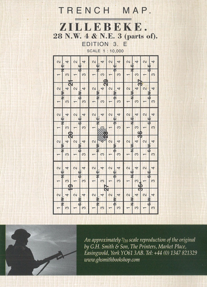
WWI Trench Map: Zillebeke (28 NW 4 & NE 3 – ed. 3E)
WWI Trench Map: Beaumont (57D SE parts of 1 & 2 – ed. 2)

Beaumont (57D SE parts of 1 & 2 – ed. 2) in a series of British Army trench maps from the WWI, reproduced by G.H. Smith & Son at approximately 7/10th of the original scales quoted against each title. The map covers the front line around Beaumont Hamel, Thiepval Wood, Mensil and Englebelmer with trenches
WWI Trench Map: Wytschaete (Whitesheet: 28 SW 2 – ed. 6A)

Wytschaete (28 SW 2 – ed. 6A) in a series of British Army trench maps from the WWI, reproduced by G.H. Smith & Son at approximately 7/10th of the original scales quoted against each title. The map shows the front lines after the Battle of the Messines (Messen) Ridge with trenches corrected to 18.7.1917.Maps in
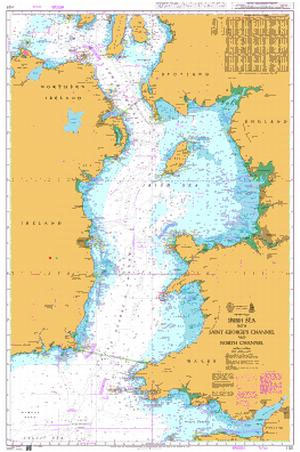
Admiralty Chart 1121 – Irish Sea with St George`s Channel and North Channel

NEW EDITION ON 02/01/2020Admiralty standard nautical charts comply with Safety of Life at Sea (SOLAS) regulations and are ideal for professional, commercial and recreational use. Charts within the series consist of a range of scales, useful for passage planning, ocean crossings, coastal navigation and entering port.Standard Admiralty charts are folded to fit in a chart
WWI Trench Map: Ploegsteert Geological Map (28 SW 4 – ed. 6)

Ploegsteert Geological Map (28 SW 4 – ed. 6) in a series of British Army trench maps from the WWI, reproduced by G.H. Smith & Son at approximately 7/10th of the original scales quoted against each title. The map shows the Plugstreet Wood area with the general classification of the ground according to its suitability
WWI Trench Map: Queant (57C NE 1 – ed. 4A)

Queant (57C NE 1 – ed.4A) in a series of British Army trench maps from the WWI, reproduced by G.H. Smith & Son at approximately 7/10th of the original scales quoted against each title. The map shows the Hindenburg line between Queant, Inchy-en-Artois and Moeuvres with the trenches corrected to 6.7.1917.Maps in this series show
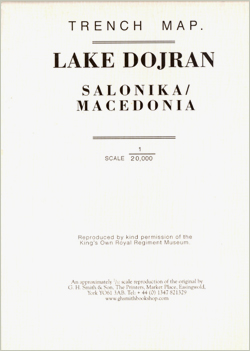
World War I Macedonian Front: Lake Dorjan

Lake Dorjan, one of two maps covering the site of the Battle of Doiran between British and Greek troops against Bulgarian forces on the Macedonian Front during World War I. Both maps are reproductions by G.H. Smith & Son of the original British Army trench maps at approximately 7/10th of the original scale quoted against
WWI Trench Map: Guillemont – Le Sars (57C SW – ed.3A)

Somme Battlefields around Longeuval (57C SW – ed. 3A) in a series of British Army trench maps from the WWI, reproduced by G.H. Smith & Son at approximately 7/10th of the original scales quoted against each title. The map shows trenches corrected to 3.9.1916 and covers the front line from Warlencourt in the north-west to
WWI Trench Map: Illies – Violaines – Festubert (part of 36C NW & 36B NE)
WWI Trench Map: Longueval (57C SW 3 – ed.2E)

Longueval (57C SW 3 – ed. 2E) in a series of British Army trench maps from the WWI, reproduced by G.H. Smith & Son at approximately 7/10th of the original scales quoted against each title. The map shows German defences around Martinpuich, High Wood, the Bazentins, Longueval, Delville Wood, Montauban, Bernafay Wood, Trones Wood, Guillemont
WWI Trench Map: Neuville-Vitasse – Bullecourt (57B SW)

Neuville-Vitasse – Bullecourt (57B SW) in a series of British Army trench maps from the WWI, reproduced by G.H. Smith & Son at approximately 7/10th of the original scales quoted against each title. The map covers the front line around Beaurains, Neuville-Vitasseand Bullecourt, with trenches revised to 27.7.1918. Also included is a photo and notes
WWI Trench Map: Maricourt (62C NW 1 – ed. 2C)

Maricourt (62C NW 1- ed.2C)in a series of British Army trench maps from the WWI, reproduced by G.H. Smith & Son at approximately 7/10th of the original scales quoted against each title. Trenches, corrected to 2.6.1916, are as on the first day of the Battle of the Somme, from Carnoy to the junction with the
WWI Trench Map: St. Quentin (66C NW – ed. 3A)

St. Quentin (66C NW – ed. 3A) in a series of British Army trench maps from the WWI, reproduced by G.H. Smith & Son at approximately 7/10th of the original scales quoted against each title. The map shows British and German lines before the major German offensive around St.Quentin on 21st March 1918.Maps in this
WWI Trench Map: Ovillers (57D SE 4 – ed. 2B)
WWI Trench Map: Laventie – Aubers Ridge (36 SW 1 – prov. ed.)

Laventie – Aubers Ridge (36 SW 1 – prov. ed.) in a series of British Army trench maps from the WWI, reproduced by G.H. Smith & Son at approximately 7/10th of the original scales quoted against each title. The map shows part of the battlefields of Aubers Ridge and Fromelles with trenches corrected to 21.7.1915.Maps
WWI Trench Map: Lens (36C SW 1 – ed. 9A)

Lens (36C SW 1 – ed. 9A) in a series of British Army trench maps from the WWI, reproduced by G.H. Smith & Son at approximately 7/10th of the original scales quoted against each title. The map shows trenches corrected to 26th June 1917.Maps in this series show both the British and the enemy trenches.
WWI Trench Map: Loos (36C NW – ed. 3)

Loos (36C NW – ed. 3) in a series of British Army trench maps from the WWI, reproduced by G.H. Smith & Son at approximately 7/10th of the original scales quoted against each title. The map shows early German defences, with trenches corrected to 26.7.1915.Maps in this series show both the British and the enemy
WWI Trench Map: St Julien (28 NW 2 – ed. 6A)

St Julien (28 NW 2 – ed. 6A) in a series of British Army trench maps from the WWI, reproduced by G.H. Smith & Son at approximately 7/10th of the original scales quoted against each title. The map shows the front line before the 3rd Battle of Ypres (Passchendaele / Passendale) with the trenches corrected


