Category Archives: Travel Guides
Shetland: South Mainland OS Landranger Map 4 (paper)
Paper version of map No. 4 from the Ordnance Survey’s Landranger series at 1:50,000, with contoured and GPS compatible topographic mapping plus tourist information.MOBILE DOWNLOADS: As well as the physical edition of the map, each Landranger title now includes a code for downloading after purchase its digital version onto your smartphone or tablet for viewing
Orkney: Northern Isles OS Landranger Map 5 (paper)
Paper version of map No. 5 from the Ordnance Survey’s Landranger series at 1:50,000, with contoured and GPS compatible topographic mapping plus tourist information.MOBILE DOWNLOADS: As well as the physical edition of the map, each Landranger title now includes a code for downloading after purchase its digital version onto your smartphone or tablet for viewing
Orkney – Mainland OS Landranger 6
Paper version of map No. 6 from the Ordnance Survey’s Landranger series at 1:50,000, with contoured and GPS compatible topographic mapping plus tourist information.MOBILE DOWNLOADS: As well as the physical edition of the map, each Landranger title now includes a code for downloading after purchase its digital version onto your smartphone or tablet for viewing
Orkney: Southern Isles OS Landranger Map 7 (paper)
Paper version of map No. 7 from the Ordnance Survey’s Landranger series at 1:50,000, with contoured and GPS compatible topographic mapping plus tourist information.MOBILE DOWNLOADS: As well as the physical edition of the map, each Landranger title now includes a code for downloading after purchase its digital version onto your smartphone or tablet for viewing
Stornoway & North Lewis OS Landranger Map 8 (paper)
Paper version of map No. 8 from the Ordnance Survey’s Landranger series at 1:50,000, with contoured and GPS compatible topographic mapping plus tourist information.MOBILE DOWNLOADS: As well as the physical edition of the map, each Landranger title now includes a code for downloading after purchase its digital version onto your smartphone or tablet for viewing
Cape Wrath – Durness & Scourie OS Landgranger Map 9 (paper)
Paper version of map No. 9 from the Ordnance Survey’s Landranger series at 1:50,000, with contoured and GPS compatible topographic mapping plus tourist information.MOBILE DOWNLOADS: As well as the physical edition of the map, each Landranger title now includes a code for downloading after purchase its digital version onto your smartphone or tablet for viewing
Strath Naver, Bettyhill & Tongue OS Landranger Map 10 (paper)
Paper version of map No. 10 from the Ordnance Survey’s Landranger series at 1:50,000, with contoured and GPS compatible topographic mapping plus tourist information.MOBILE DOWNLOADS: As well as the physical edition of the map, each Landranger title now includes a code for downloading after purchase its digital version onto your smartphone or tablet for viewing
Thurso & Dunbeath OS Landranger Map 11 (paper)

Paper version of map No. 11 from the Ordnance Survey’s Landranger series at 1:50,000, with contoured and GPS compatible topographic mapping plus tourist information.MOBILE DOWNLOADS: As well as the physical edition of the map, each Landranger title now includes a code for downloading after purchase its digital version onto your smartphone or tablet for viewing
Thurso, Wick & John O’Groats OS Landranger Map 12 (paper)
Paper version of map No. 12 from the Ordnance Survey’s Landranger series at 1:50,000, with contoured and GPS compatible topographic mapping plus tourist information.MOBILE DOWNLOADS: As well as the physical edition of the map, each Landranger title now includes a code for downloading after purchase its digital version onto your smartphone or tablet for viewing
West Lewis & North Harris OS Landranger Map 13 (paper)
Paper version of map No. 13 from the Ordnance Survey’s Landranger series at 1:50,000, with contoured and GPS compatible topographic mapping plus tourist information.MOBILE DOWNLOADS: As well as the physical edition of the map, each Landranger title now includes a code for downloading after purchase its digital version onto your smartphone or tablet for viewing
Tarbert & Loch Seaforth OS Landranger Map 14 (paper)
Paper version of map No. 14 from the Ordnance Survey’s Landranger series at 1:50,000, with contoured and GPS compatible topographic mapping plus tourist information.MOBILE DOWNLOADS: As well as the physical edition of the map, each Landranger title now includes a code for downloading after purchase its digital version onto your smartphone or tablet for viewing
Dumfries & Galloway
Dumfries and Galloway form the south-west of Scotland, a broad wedge of land jutting out into the Irish Sea between the Solway Firth and the Firth of Clyde. The area is also part of Scotland`s border country a peaceful, unspoilt region that possesses a mild climate, a great variety of scenery and a rich historic
Edinburgh, Pentland and Lothians
The countryside around Edinburgh is ideal for walking comprising a superb mixture of rolling hills, expansive moorland and attractive rivers, bounded by fertile lowlands and an impressive coastline. The stunning views from Arthur`s Seat and the Braid Hills give amazing panoramas of Edinburgh itself. Stretches of the sandy Lothian coast are explored on the John
Lancashire – Outstanding Circular Walks
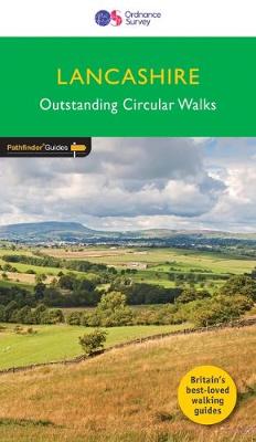
With its fen-like lowlands, its coastal scenery, the high fells of Bowland and the lush river valleys of the Ribble and Lune, Lancashire is a county of surprising diversity from its great Industrial heritage towns to its attractive, rural villages and its numerous historic monuments. There can be no better way of exploring Lancashire than
Perthshire, Angus & Fife
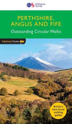
Approaching the eastern part of central Scotland, where the Grampians dominate the horizon, it appears at first glance to be mountain country. In fact much of the area is low-lying, with flat woodland and agricultural land bordered by gentle, rounded hills and an attractive North Sea coastline. Perthshire has enough lochs to vie with Cumbria`s
West Sussex & the South Downs Walks
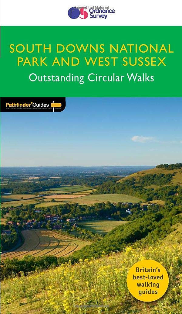
The Pathfinder(R) Guide to West Sussex & the South Downs Walks contains 28 fantastic circular walks across the county, much of which lies inside the new South Downs National Park. Walkers of all abilities can experience a variety of walking routes in a range of difficulty with this Pathfinder(R) guide which takes you from gentle
Navigation Skills for Walkers
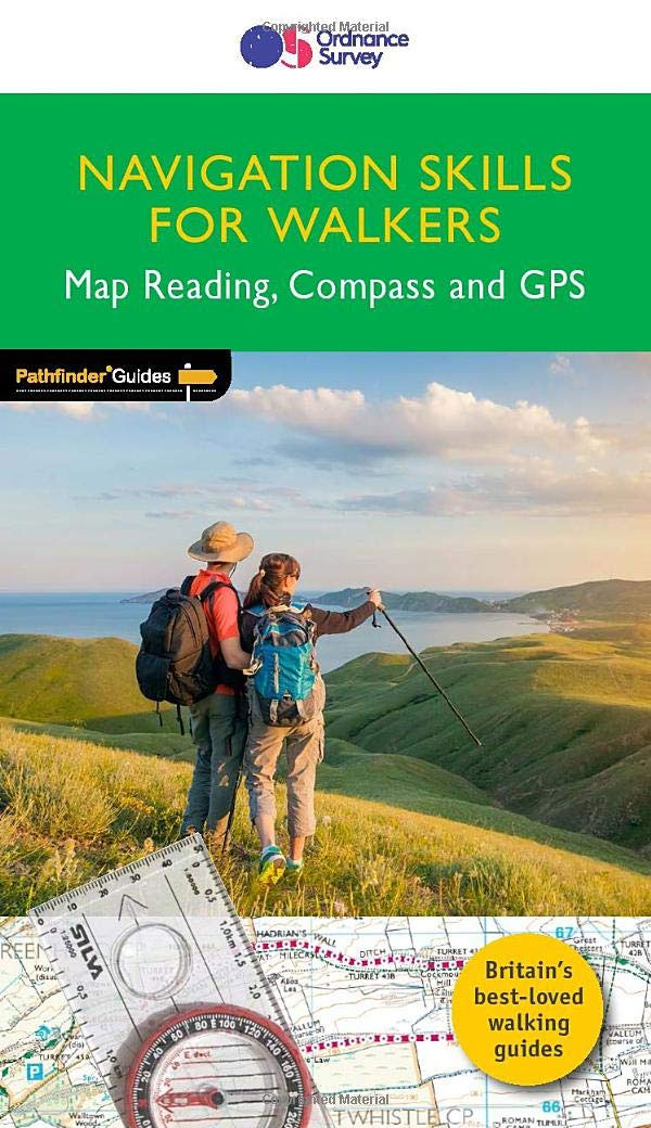
Discover more of the great outdoors with Navigation Skills for Walkers and Pathfinder Guides. Build confidence and competence in reading maps: using grid references, contour interpretation and visualising terrain. Learn how to use a compass, with map and compass navigation: taking a bearing, magnetic variation and `aiming off`. Make the most of your GPS device:
Ordnance Survey Great British Travel Journal
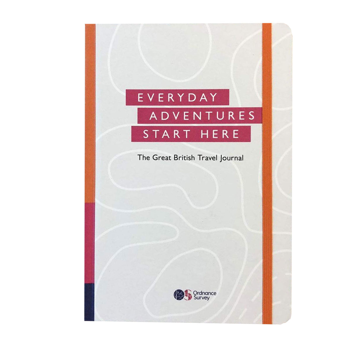
Whether your adventures are a stroll in the park or taking on some of Britain`s highest peaks, the Ordnance Survey Great British Travel Journal will help you record your plans, routes, trips and inspirational ideas. The first section gives tips to make your time outdoor safer, more enjoyable and easier to plan, with equipment checklists,
Walk Edinburgh OS Urban Map
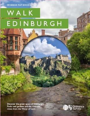
Printed as a strip map over 11 panels Walk Edinburgh incorporates a unique concertina fold design so it can be read like a book or unfolded to reveal a section of the Water of Leith on one side and Edinburgh`s spectacular Castle and Royal mile on the reverse. It also includes Holyrood park, Calton hill
Walk London OS Urban Map
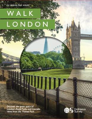
See London through new eyes. Designed for both locals and tourists, these beautiful illustrated maps showcase some of the best open spaces London has to offer. Highlighting four celebrated Royal Parks, our expert guides recommend accessible routes that gradually reveal hidden interest in some of London`s quieter corners. And in detailing the central section of