Category Archives: Travel Guides
Strathdon & Alford OS Landranger Map 37 (paper)

Paper version of map No. 37 from the Ordnance Survey’s Landranger series at 1:50,000, with contoured and GPS compatible topographic mapping plus tourist information.MOBILE DOWNLOADS: As well as the physical edition of the map, each Landranger title now includes a code for downloading after purchase its digital version onto your smartphone or tablet for viewing
Benbecula & South Uist OS Landranger Map 22 (paper)
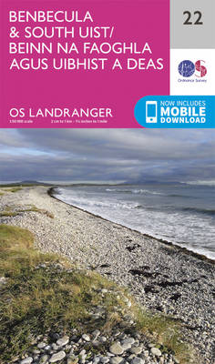
Paper version of map No. 22 from the Ordnance Survey’s Landranger series at 1:50,000, with contoured and GPS compatible topographic mapping plus tourist information.MOBILE DOWNLOADS: As well as the physical edition of the map, each Landranger title now includes a code for downloading after purchase its digital version onto your smartphone or tablet for viewing
Rum, Eigg, Muck & Canna OS Landranger Map 39 (paper)
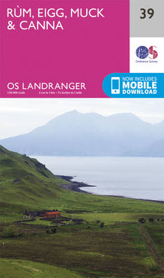
Paper version of map No. 39 from the Ordnance Survey’s Landranger series at 1:50,000, with contoured and GPS compatible topographic mapping plus tourist information.MOBILE DOWNLOADS: As well as the physical edition of the map, each Landranger title now includes a code for downloading after purchase its digital version onto your smartphone or tablet for viewing
North Skye: Dunvegan & Portree OS Landranger Map 23
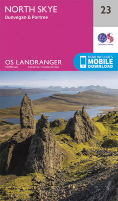
Paper version of map No. 23 from the Ordnance Survey’s Landranger series at 1:50,000, with contoured and GPS compatible topographic mapping plus tourist information.MOBILE DOWNLOADS: As well as the physical edition of the map, each Landranger title now includes a code for downloading after purchase its digital version onto your smartphone or tablet for viewing
Raasay, Applecross, Loch Torridon & Plockton OS Landranger Map 24 (paper)
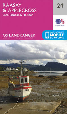
Paper version of map No. 24 from the Ordnance Survey’s Landranger series at 1:50,000, with contoured and GPS compatible topographic mapping plus tourist information.MOBILE DOWNLOADS: As well as the physical edition of the map, each Landranger title now includes a code for downloading after purchase its digital version onto your smartphone or tablet for viewing
Glen Carron & Glen Affric OS Landranger Map 25 (paper)
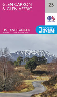
Paper version of map No. 25 from the Ordnance Survey’s Landranger series at 1:50,000, with contoured and GPS compatible topographic mapping plus tourist information.MOBILE DOWNLOADS: As well as the physical edition of the map, each Landranger title now includes a code for downloading after purchase its digital version onto your smartphone or tablet for viewing
Inverness, Loch Ness & Strathglass OS Landranger Map 26 (paper)
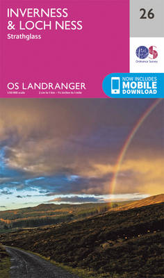
Paper version of map No. 26 from the Ordnance Survey’s Landranger series at 1:50,000, with contoured and GPS compatible topographic mapping plus tourist information.MOBILE DOWNLOADS: As well as the physical edition of the map, each Landranger title now includes a code for downloading after purchase its digital version onto your smartphone or tablet for viewing
Nairn, Forres & River Findhorn OS Landranger Map 27 (paper)
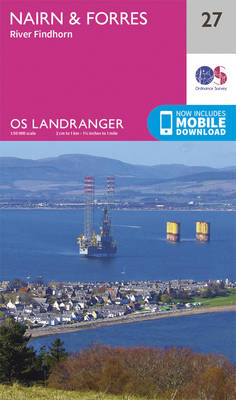
Paper version of map No. 27 from the Ordnance Survey’s Landranger series at 1:50,000, with contoured and GPS compatible topographic mapping plus tourist information.MOBILE DOWNLOADS: As well as the physical edition of the map, each Landranger title now includes a code for downloading after purchase its digital version onto your smartphone or tablet for viewing
Elgin, Dufftown, Buckie & Keith OS Landranger Map 28 (paper)
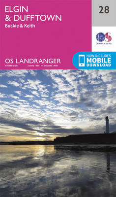
Paper version of map No. 28 from the Ordnance Survey’s Landranger series at 1:50,000, with contoured and GPS compatible topographic mapping plus tourist information.MOBILE DOWNLOADS: As well as the physical edition of the map, each Landranger title now includes a code for downloading after purchase its digital version onto your smartphone or tablet for viewing
Banff, Huntly, Portsoy & Turriff OS Landranger Map 29 (paper)
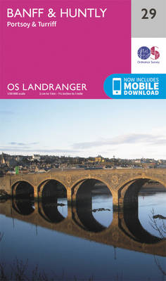
Paper version of map No. 29 from the Ordnance Survey’s Landranger series at 1:50,000, with contoured and GPS compatible topographic mapping plus tourist information.MOBILE DOWNLOADS: As well as the physical edition of the map, each Landranger title now includes a code for downloading after purchase its digital version onto your smartphone or tablet for viewing
Fraserburgh, Peterhead & Ellon OS Landranger Map 30 (paper)
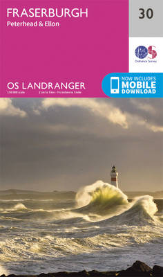
Paper version of map No. 30 from the Ordnance Survey’s Landranger series at 1:50,000, with contoured and GPS compatible topographic mapping plus tourist information.MOBILE DOWNLOADS: As well as the physical edition of the map, each Landranger title now includes a code for downloading after purchase its digital version onto your smartphone or tablet for viewing
Loch Assynt, Lochinver & Kylesku OS Landranger Map 15 (paper)
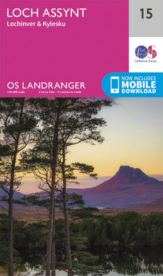
Paper version of map No. 15 from the Ordnance Survey’s Landranger series at 1:50,000, with contoured and GPS compatible topographic mapping plus tourist information.MOBILE DOWNLOADS: As well as the physical edition of the map, each Landranger title now includes a code for downloading after purchase its digital version onto your smartphone or tablet for viewing
Great Britain OS Route Map
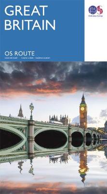
Clearly showing all the key routes around Great Britain, this map two-sided map is great for planning trips and holidays, and the perfect backup while you are travelling.Discover more of the geography and history of the areas you are passing through, and create your own routes instead of one chosen by a sat-nav.Shows the whole
Lairg, Loch Shin & Loch Naver OS Landranger Map 16 (paper)
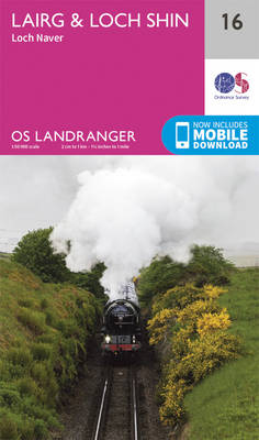
Paper version of map No. 16 from the Ordnance Survey’s Landranger series at 1:50,000, with contoured and GPS compatible topographic mapping plus tourist information.MOBILE DOWNLOADS: As well as the physical edition of the map, each Landranger title now includes a code for downloading after purchase its digital version onto your smartphone or tablet for viewing
Shetland: Yell, Unst and Fetlar OS Landranger Map 1 (paper)

Paper version of map No. 1 from the Ordnance Survey’s Landranger series at 1:50,000, with contoured and GPS compatible topographic mapping plus tourist information.MOBILE DOWNLOADS: As well as the physical edition of the map, each Landranger title now includes a code for downloading after purchase its digital version onto your smartphone or tablet for viewing
Helmsdale & Strath of Kildonan OS Landranger Map 17 (paper)
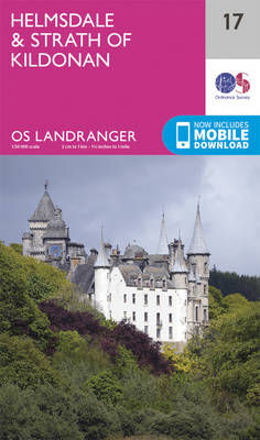
Paper version of map No. 17 from the Ordnance Survey’s Landranger series at 1:50,000, with contoured and GPS compatible topographic mapping plus tourist information.MOBILE DOWNLOADS: As well as the physical edition of the map, each Landranger title now includes a code for downloading after purchase its digital version onto your smartphone or tablet for viewing
Shetland: Sullom Voe and Whalsay OS Landranger Map 2 (paper)
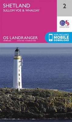
Paper version of map No. 2 from the Ordnance Survey’s Landranger series at 1:50,000, with contoured and GPS compatible topographic mapping plus tourist information.MOBILE DOWNLOADS: As well as the physical edition of the map, each Landranger title now includes a code for downloading after purchase its digital version onto your smartphone or tablet for viewing
Sound of Harris, North Uist, Taransay & St Kilda OS Landranger Map 18 (paper)
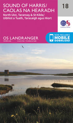
Paper version of map No. 18 from the Ordnance Survey’s Landranger series at 1:50,000, with contoured and GPS compatible topographic mapping plus tourist information.MOBILE DOWNLOADS: As well as the physical edition of the map, each Landranger title now includes a code for downloading after purchase its digital version onto your smartphone or tablet for viewing
Shetland: North Mainland OS Landranger Map 3 (paper)
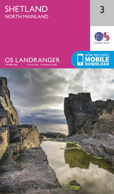
Paper version of map No. 3 from the Ordnance Survey’s Landranger series at 1:50,000, with contoured and GPS compatible topographic mapping plus tourist information.MOBILE DOWNLOADS: As well as the physical edition of the map, each Landranger title now includes a code for downloading after purchase its digital version onto your smartphone or tablet for viewing