Category Archives: Travel Guides
Berwick-upon-Tweed, Holy Island & Wooler OS Landranger Map 75 (paper)
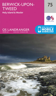
Paper version of map No. 75 from the Ordnance Survey’s Landranger series at 1:50,000, with contoured and GPS compatible topographic mapping plus tourist information.MOBILE DOWNLOADS: As well as the physical edition of the map, each Landranger title now includes a code for downloading after purchase its digital version onto your smartphone or tablet for viewing
Girvan, Ballantrae & Barrhill OS Landranger Map 76 (paper)
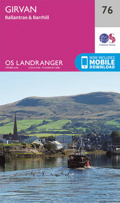
Paper version of map No. 76 from the Ordnance Survey’s Landranger series at 1:50,000, with contoured and GPS compatible topographic mapping plus tourist information.MOBILE DOWNLOADS: As well as the physical edition of the map, each Landranger title now includes a code for downloading after purchase its digital version onto your smartphone or tablet for viewing
Dalmellington, New Galloway & Galloway Forest Park OS Landranger Map 77 (paper)
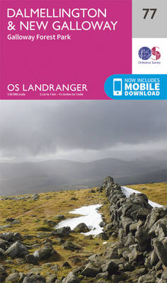
Paper version of map No. 77 from the Ordnance Survey’s Landranger series at 1:50,000, with contoured and GPS compatible topographic mapping plus tourist information.MOBILE DOWNLOADS: As well as the physical edition of the map, each Landranger title now includes a code for downloading after purchase its digital version onto your smartphone or tablet for viewing
North Kintyre & Tarbert OS Landranger Map 62 (paper)
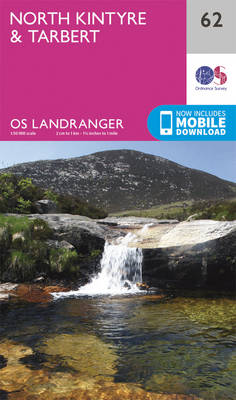
Paper version of map No. 62 from the Ordnance Survey’s Landranger series at 1:50,000, with contoured and GPS compatible topographic mapping plus tourist information.MOBILE DOWNLOADS: As well as the physical edition of the map, each Landranger title now includes a code for downloading after purchase its digital version onto your smartphone or tablet for viewing
Nithsdale, Annandale, Sanquhar & Moffat OS Landranger Map 78 (paper)
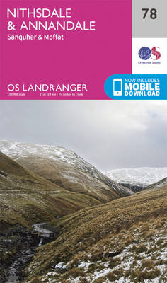
Paper version of map No. 78 from the Ordnance Survey’s Landranger series at 1:50,000, with contoured and GPS compatible topographic mapping plus tourist information.MOBILE DOWNLOADS: As well as the physical edition of the map, each Landranger title now includes a code for downloading after purchase its digital version onto your smartphone or tablet for viewing
Firth of Clyde, Greenock & Rothesay OS Landranger Map 63 (paper)
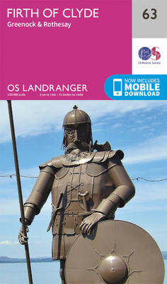
Paper version of map No. 63 from the Ordnance Survey’s Landranger series at 1:50,000, with contoured and GPS compatible topographic mapping plus tourist information.MOBILE DOWNLOADS: As well as the physical edition of the map, each Landranger title now includes a code for downloading after purchase its digital version onto your smartphone or tablet for viewing
Hawick, Eskdale & Langholm OS Landranger Map 79 (paper)
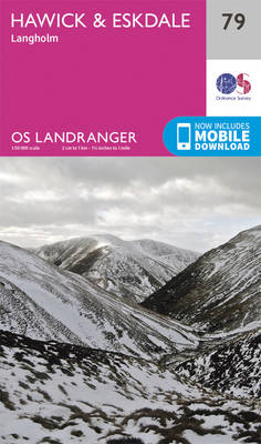
Paper version of map No. 79 from the Ordnance Survey’s Landranger series at 1:50,000, with contoured and GPS compatible topographic mapping plus tourist information.MOBILE DOWNLOADS: As well as the physical edition of the map, each Landranger title now includes a code for downloading after purchase its digital version onto your smartphone or tablet for viewing
Glasgow, Motherwell & Airdrie OS Landranger Map 64 (paper)
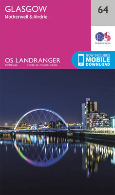
Paper version of map No. 64 from the Ordnance Survey’s Landranger series at 1:50,000, with contoured and GPS compatible topographic mapping plus tourist information.MOBILE DOWNLOADS: As well as the physical edition of the map, each Landranger title now includes a code for downloading after purchase its digital version onto your smartphone or tablet for viewing
Cheviot Hills & Kielder Water OS Landranger Map 80 (paper)
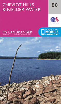
Paper version of map No. 80 from the Ordnance Survey’s Landranger series at 1:50,000, with contoured and GPS compatible topographic mapping plus tourist information.MOBILE DOWNLOADS: As well as the physical edition of the map, each Landranger title now includes a code for downloading after purchase its digital version onto your smartphone or tablet for viewing
Falkirk, Linlithgow & Dunfermline OS Landranger Map 65 (paper)
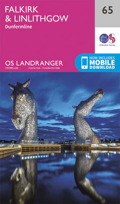
Paper version of map No. 65 from the Ordnance Survey’s Landranger series at 1:50,000, with contoured and GPS compatible topographic mapping plus tourist information.MOBILE DOWNLOADS: As well as the physical edition of the map, each Landranger title now includes a code for downloading after purchase its digital version onto your smartphone or tablet for viewing
Stranraer, Glenluce & The Rhins OS Landranger Map 82 (paper)
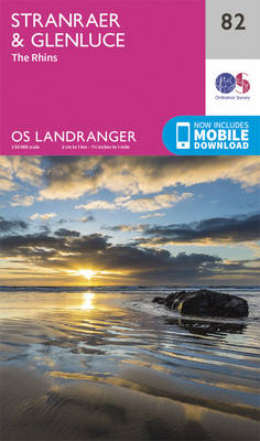
Paper version of map No. 82 from the Ordnance Survey’s Landranger series at 1:50,000, with contoured and GPS compatible topographic mapping plus tourist information.MOBILE DOWNLOADS: As well as the physical edition of the map, each Landranger title now includes a code for downloading after purchase its digital version onto your smartphone or tablet for viewing
Glen Orchy, Loch Etive, Pateley Bridge & Leyburn OS Landranger Map 50 (paper)

Paper version of map No. 50 from the Ordnance Survey’s Landranger series at 1:50,000, with contoured and GPS compatible topographic mapping plus tourist information.MOBILE DOWNLOADS: As well as the physical edition of the map, each Landranger title now includes a code for downloading after purchase its digital version onto your smartphone or tablet for viewing
Loch Tay & Glen Dochart OS Landranger Map 51 (paper)
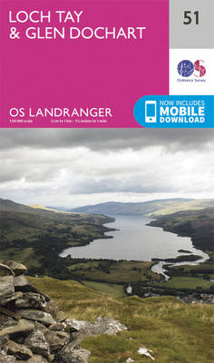
Paper version of map No. 51 from the Ordnance Survey’s Landranger series at 1:50,000, with contoured and GPS compatible topographic mapping plus tourist information.MOBILE DOWNLOADS: As well as the physical edition of the map, each Landranger title now includes a code for downloading after purchase its digital version onto your smartphone or tablet for viewing
Pitlochry, Crieff & Aberfeldy OS Landranger Map 52 (paper)
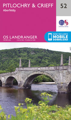
Paper version of map No. 52 from the Ordnance Survey’s Landranger series at 1:50,000, with contoured and GPS compatible topographic mapping plus tourist information.MOBILE DOWNLOADS: As well as the physical edition of the map, each Landranger title now includes a code for downloading after purchase its digital version onto your smartphone or tablet for viewing
Blairgowrie & Forest of Alyth OS Landranger Map 53 (paper)
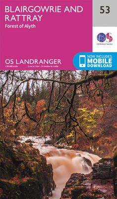
Paper version of map No. 53 from the Ordnance Survey’s Landranger series at 1:50,000, with contoured and GPS compatible topographic mapping plus tourist information.MOBILE DOWNLOADS: As well as the physical edition of the map, each Landranger title now includes a code for downloading after purchase its digital version onto your smartphone or tablet for viewing
Dundee, Montrose, Forfar & Arbroath OS Landranger Map 54 (paper)
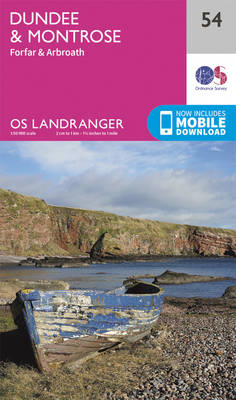
Paper version of map No. 54 from the Ordnance Survey’s Landranger series at 1:50,000, with contoured and GPS compatible topographic mapping plus tourist information.MOBILE DOWNLOADS: As well as the physical edition of the map, each Landranger title now includes a code for downloading after purchase its digital version onto your smartphone or tablet for viewing
Lochgilphead & Loch Awe OS Landranger Map 55 (paper)
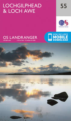
Paper version of map No. 55 from the Ordnance Survey’s Landranger series at 1:50,000, with contoured and GPS compatible topographic mapping plus tourist information.MOBILE DOWNLOADS: As well as the physical edition of the map, each Landranger title now includes a code for downloading after purchase its digital version onto your smartphone or tablet for viewing
Loch Lomond & Inveraray OS Landranger Map 56 (paper)
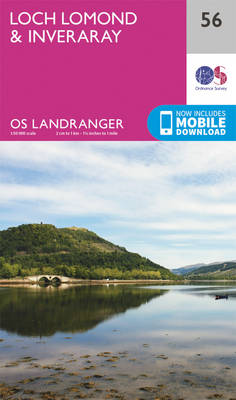
Paper version of map No. 56 from the Ordnance Survey’s Landranger series at 1:50,000, with contoured and GPS compatible topographic mapping plus tourist information.MOBILE DOWNLOADS: As well as the physical edition of the map, each Landranger title now includes a code for downloading after purchase its digital version onto your smartphone or tablet for viewing
Stirling & The Trossachs OS Landranger Map 57 (paper)
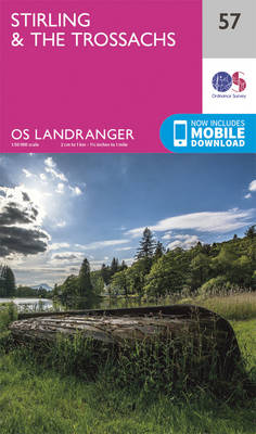
Paper version of map No. 57 from the Ordnance Survey’s Landranger series at 1:50,000, with contoured and GPS compatible topographic mapping plus tourist information.MOBILE DOWNLOADS: As well as the physical edition of the map, each Landranger title now includes a code for downloading after purchase its digital version onto your smartphone or tablet for viewing
Mallaig, Glenfinnan & Loch Shiel OS Landranger Map 40 (paper)
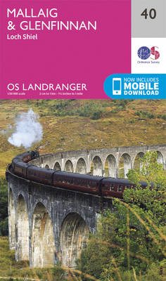
Paper version of map No. 40 from the Ordnance Survey’s Landranger series at 1:50,000, with contoured and GPS compatible topographic mapping plus tourist information.MOBILE DOWNLOADS: As well as the physical edition of the map, each Landranger title now includes a code for downloading after purchase its digital version onto your smartphone or tablet for viewing