Category Archives: Travel Guides
Cardigan & Mynydd Preseli OS Landranger Map 145 (paper)
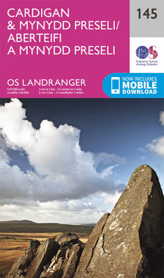
The coast of Wales between Dinas Head and New Quay, including Cardigan and the northern part of the Pembrokeshire Coast National Park, on a paper version of map No. 145 from the Ordnance Survey’s Landranger series at 1:50,000, with contoured and GPS compatible topographic mapping plus tourist information.MOBILE DOWNLOADS: As well as the physical edition
Lampeter & Llandovery OS Landranger Map 146 (paper)
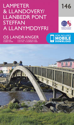
Central Wales around Lampeter and Llandovery on a paper version of map No. 146 from the Ordnance Survey’s Landranger series at 1:50,000, with contoured and GPS compatible topographic mapping plus tourist information.MOBILE DOWNLOADS: As well as the physical edition of the map, each Landranger title now includes a code for downloading after purchase its digital
Derby & Burton upon Trent OS Landranger Map 128 (paper)
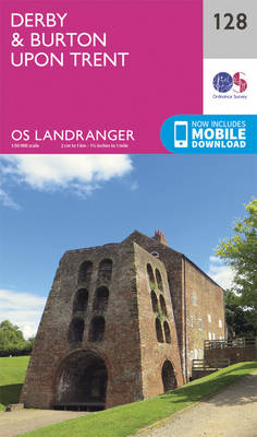
Paper version of map No. 128 from the Ordnance Survey’s Landranger series at 1:50,000, with contoured and GPS compatible topographic mapping plus tourist information.MOBILE DOWNLOADS: As well as the physical edition of the map, each Landranger title now includes a code for downloading after purchase its digital version onto your smartphone or tablet for viewing
Elan Valley & Builth Wells OS Landranger Map 147 (paper)
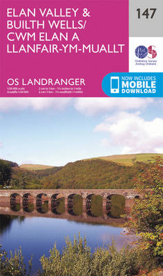
Central Wales around the Elan Valley and Builth Wells, including a part of the Glyndwr’s Way long-distance trail, on a paper version of map No. 147 from the Ordnance Survey’s Landranger series at 1:50,000, with contoured and GPS compatible topographic mapping plus tourist information.MOBILE DOWNLOADS: As well as the physical edition of the map, each
Nottingham, Loughborough & Melton Mowbray OS Landranger Map 129 (paper)
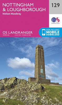
Paper version of map No. 129 from the Ordnance Survey’s Landranger series at 1:50,000, with contoured and GPS compatible topographic mapping plus tourist information.MOBILE DOWNLOADS: As well as the physical edition of the map, each Landranger title now includes a code for downloading after purchase its digital version onto your smartphone or tablet for viewing
Presteigne & Hay-on-Wye OS landranger Map 148 (paper)
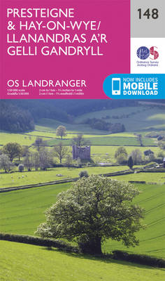
The borderlands of England and Wales around Presteigne and Hay-on-Wye, including parts of Offa’s Dyke and Glyndwr’s long-distance trails, on a paper version of map No. 148 from the Ordnance Survey’s Landranger series at 1:50,000, with contoured and GPS compatible topographic mapping plus tourist information.MOBILE DOWNLOADS: As well as the physical edition of the map,
Grantham, Sleaford & Bourne OS Landranger Map 130 (paper)

Paper version of map No. 130 from the Ordnance Survey’s Landranger series at 1:50,000, with contoured and GPS compatible topographic mapping plus tourist information.MOBILE DOWNLOADS: As well as the physical edition of the map, each Landranger title now includes a code for downloading after purchase its digital version onto your smartphone or tablet for viewing
Hereford, Leominster, Bromyard & Ledbury OS Landranger Map 149 (paper)
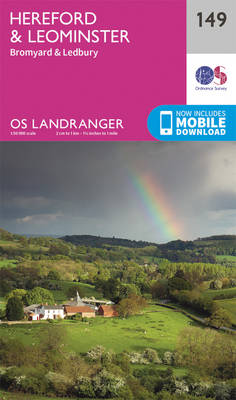
The area around Hereford, Leominster, Bromyard and Ledbury on a paper version of map No. 149 from the Ordnance Survey’s Landranger series at 1:50,000, with contoured and GPS compatible topographic mapping plus tourist information.MOBILE DOWNLOADS: As well as the physical edition of the map, each Landranger title now includes a code for downloading after purchase
Boston & Spalding OS Landranger Map 131 (paper)

Paper version of map No. 131 from the Ordnance Survey’s Landranger series at 1:50,000, with contoured and GPS compatible topographic mapping plus tourist information.MOBILE DOWNLOADS: As well as the physical edition of the map, each Landranger title now includes a code for downloading after purchase its digital version onto your smartphone or tablet for viewing
Worcester, The Malverns, Evesham & Tewkesbury OS Landranger Map 150 (paper)
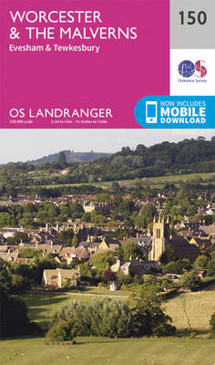
The area around Worcester, Great Malvern, Evesham and Tewkesbury, including the Malvern Hills and part of the Cotswold Way / E2 European Long-distance Path, on a paper version of map No. 150 from the Ordnance Survey’s Landranger series at 1:50,000, with contoured and GPS compatible topographic mapping plus tourist information.MOBILE DOWNLOADS: As well as the
North West Norfolk, King’s Lynn & Fakenham OS Landranger Map 132 (paper)
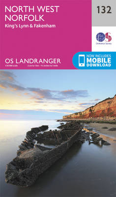
Paper version of map No. 132 from the Ordnance Survey’s Landranger series at 1:50,000, with contoured and GPS compatible topographic mapping plus tourist information.MOBILE DOWNLOADS: As well as the physical edition of the map, each Landranger title now includes a code for downloading after purchase its digital version onto your smartphone or tablet for viewing
Chester, Wrexham & Ellesmere Port OS Landranger Map 117 (paper)
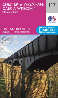
Paper version of map No. 117 from the Ordnance Survey’s Landranger series at 1:50,000, with contoured and GPS compatible topographic mapping plus tourist information.MOBILE DOWNLOADS: As well as the physical edition of the map, each Landranger title now includes a code for downloading after purchase its digital version onto your smartphone or tablet for viewing
Stoke-on-Trent & Macclesfield OS Landranger Map 118 (paper)

Paper version of map No. 118 from the Ordnance Survey’s Landranger series at 1:50,000, with contoured and GPS compatible topographic mapping plus tourist information.MOBILE DOWNLOADS: As well as the physical edition of the map, each Landranger title now includes a code for downloading after purchase its digital version onto your smartphone or tablet for viewing
Buxton, Matlock, Chesterfield, Bakewell & Dove Dale OS Landranger Map 119 (paper)
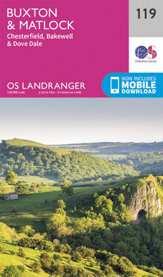
Paper version of map No. 119 from the Ordnance Survey’s Landranger series at 1:50,000, with contoured and GPS compatible topographic mapping plus tourist information.MOBILE DOWNLOADS: As well as the physical edition of the map, each Landranger title now includes a code for downloading after purchase its digital version onto your smartphone or tablet for viewing
Mansfield, Worksop & Sherwood Forest OS Landranger Map 120 (paper)

Paper version of map No. 120 from the Ordnance Survey’s Landranger series at 1:50,000, with contoured and GPS compatible topographic mapping plus tourist information.MOBILE DOWNLOADS: As well as the physical edition of the map, each Landranger title now includes a code for downloading after purchase its digital version onto your smartphone or tablet for viewing
Lincoln & Newark-on-Trent OS Landranger Map 121 (paper)

Paper version of map No. 121 from the Ordnance Survey’s Landranger series at 1:50,000, with contoured and GPS compatible topographic mapping plus tourist information.MOBILE DOWNLOADS: As well as the physical edition of the map, each Landranger title now includes a code for downloading after purchase its digital version onto your smartphone or tablet for viewing
Skegness & Horncastle OS Landranger Map 122 (paper)
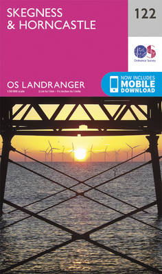
Paper version of map No. 122 from the Ordnance Survey’s Landranger series at 1:50,000, with contoured and GPS compatible topographic mapping plus tourist information.MOBILE DOWNLOADS: As well as the physical edition of the map, each Landranger title now includes a code for downloading after purchase its digital version onto your smartphone or tablet for viewing
Lleyn Peninsula OS Landranger Map 123 (paper)

Paper version of map No. 123 from the Ordnance Survey’s Landranger series at 1:50,000, with contoured and GPS compatible topographic mapping plus tourist information.MOBILE DOWNLOADS: As well as the physical edition of the map, each Landranger title now includes a code for downloading after purchase its digital version onto your smartphone or tablet for viewing
Liverpool – Southport & Wigan OS Landranger 108

Paper version of map No. 108 from the Ordnance Survey’s Landranger series at 1:50,000, with contoured and GPS compatible topographic mapping plus tourist information.MOBILE DOWNLOADS: As well as the physical edition of the map, each Landranger title now includes a code for downloading after purchase its digital version onto your smartphone or tablet for viewing
Porthmadog & Dolgellau OS Landranger 124
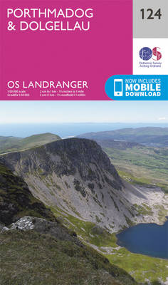
Paper version of map No. 124 from the Ordnance Survey’s Landranger series at 1:50,000, with contoured and GPS compatible topographic mapping plus tourist information.MOBILE DOWNLOADS: As well as the physical edition of the map, each Landranger title now includes a code for downloading after purchase its digital version onto your smartphone or tablet for viewing