Category Archives: Travel Guides
Oxford, Chipping Norton & Bicester OS Landranger Map 164 (paper)

Oxford area, including sections of the Thames Path and the E2 European Long-distance Path, on a paper version of map No. 164 from the Ordnance Survey’s Landranger series at 1:50,000, with contoured and GPS compatible topographic mapping plus tourist information.MOBILE DOWNLOADS: As well as the physical edition of the map, each Landranger title now includes
Aylesbury, Leighton Buzzard, Thame & Berkhamsted OS Landranger Map 165 (paper)
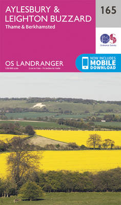
Aylesbury, Leighton Buzzard and Thame area, including Chiltern Hills with part of the Ridgeway, on a paper version of map No. 165 from the Ordnance Survey’s Landranger series at 1:50,000, with contoured and GPS compatible topographic mapping plus tourist information.MOBILE DOWNLOADS: As well as the physical edition of the map, each Landranger title now includes
Luton, Hertford, Hitchin & St Albans OS Landranger Map 166 (paper)
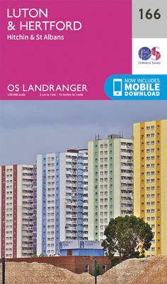
Luton, Hertford, Hitchin and St Albans area on a paper version of map No. 166 from the Ordnance Survey’s Landranger series at 1:50,000, with contoured and GPS compatible topographic mapping plus tourist information.MOBILE DOWNLOADS: As well as the physical edition of the map, each Landranger title now includes a code for downloading after purchase its
Chelmsford, Harlow & Bishop`s Stortford OS Landranger Map 167 (paper)
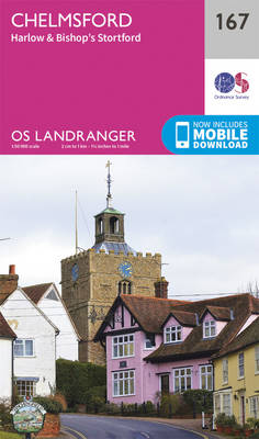
Chelmsford, Harlow and Bishop`s Stortford area, including the Rodings, on a paper version of map No. 167 from the Ordnance Survey’s Landranger series at 1:50,000, with contoured and GPS compatible topographic mapping plus tourist information.MOBILE DOWNLOADS: As well as the physical edition of the map, each Landranger title now includes a code for downloading after
Colchester, Halstead & Maldon OS Landranger Map 168 (paper)
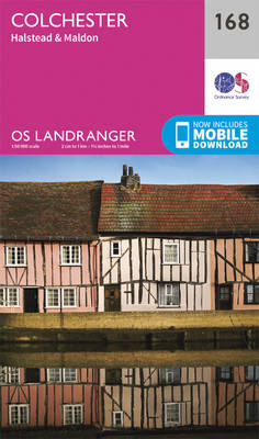
Colchester, Halstead and Maldon area, including part of the E2 European Long-distance Path, on a paper version of map No. 168 from the Ordnance Survey’s Landranger series at 1:50,000, with contoured and GPS compatible topographic mapping plus tourist information.MOBILE DOWNLOADS: As well as the physical edition of the map, each Landranger title now includes a
Stratford-upon-Avon, Warwick & Banbury OS Landranger Map 151 (paper)
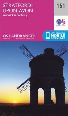
The area between Stratford-upon-Avon, Warwick and Banbury, including the northern part of the Cotswold Hills and part of the Cotswold Way / E2 European Long-distance Path, on a paper version of map No. 151 from the Ordnance Survey’s Landranger series at 1:50,000, with contoured and GPS compatible topographic mapping plus tourist information.MOBILE DOWNLOADS: As well
Ipswich, The Naze & Clacton-on-Sea OS Landranger Map 169 (paper)
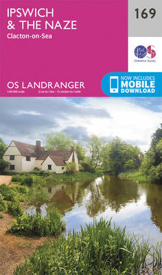
Ipswich with Harwich and The Naze area, including part of the E2 European Long-distance Path, on a paper version of map No. 169 from the Ordnance Survey’s Landranger series at 1:50,000, with contoured and GPS compatible topographic mapping plus tourist information.MOBILE DOWNLOADS: As well as the physical edition of the map, each Landranger title now
Northampton, Milton Keynes, Buckingham & Daventry OS Landranger Map 152 (paper)
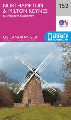
The area around Northampton, Milton Keynes, Buckingham and Daventry, on a paper version of map No. 152 from the Ordnance Survey’s Landranger series at 1:50,000, with contoured and GPS compatible topographic mapping plus tourist information.MOBILE DOWNLOADS: As well as the physical edition of the map, each Landranger title now includes a code for downloading after
Vale of Glamorgan West, Porthcawl & Rhondda OS Landranger Map 170 (paper)

The Vale of Glamorgan, Rhondda and Port Talbot area on a paper version of map No. 170 from the Ordnance Survey’s Landranger series at 1:50,000, with contoured and GPS compatible topographic mapping plus tourist information.MOBILE DOWNLOADS: As well as the physical edition of the map, each Landranger title now includes a code for downloading after
Bedford, Huntingdon, St Neots & Biggleswade OS Landranger Map 153 (paper)
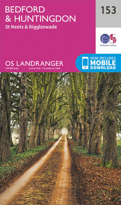
The area around Bedford, Huntingdon, St Neots and Biggleswade, on a paper version of map No. 153 from the Ordnance Survey’s Landranger series at 1:50,000, with contoured and GPS compatible topographic mapping plus tourist information.MOBILE DOWNLOADS: As well as the physical edition of the map, each Landranger title now includes a code for downloading after
Cardiff, Newport & Pontypool OS Landranger Map 171 (paper)

Cardiff, Newport and Pontypool area, including the Mouth of the Severn, on a paper version of map No. 171 from the Ordnance Survey’s Landranger series at 1:50,000, with contoured and GPS compatible topographic mapping plus tourist information.MOBILE DOWNLOADS: As well as the physical edition of the map, each Landranger title now includes a code for
Kidderminster & Wyre Forest OS Landranger Map 138 (paper)
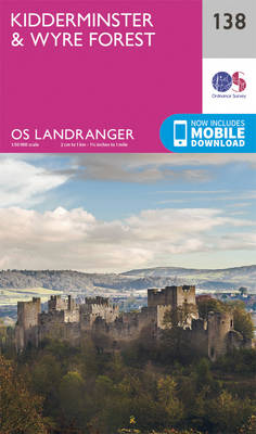
The area between Kidderminster and Much Wenlock, the Wenlock Edge and Ludlow on a paper version of map No. 138 from the Ordnance Survey’s Landranger series at 1:50,000, with contoured and GPS compatible topographic mapping plus tourist information.MOBILE DOWNLOADS: As well as the physical edition of the map, each Landranger title now includes a code
Birmingham, Wolverhampton & The Black Country OS Landranger Map 139 (paper)

Birmingham with the surrounding area including the Black Country, Wolverhampton, Walsall, Solihull, Stourbridge, Bromsgrove and a section of the E2 European Long-distance Path on a paper version of map No. 139 from the Ordnance Survey’s Landranger series at 1:50,000, with contoured and GPS compatible topographic mapping plus tourist information.MOBILE DOWNLOADS: As well as the physical
Leicester, Coventry & Rugby OS Landranger Map 140 (paper)
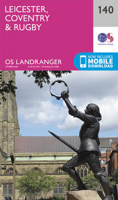
The area between Leicester, Coventry and Rugby on a paper version of map No. 140 from the Ordnance Survey’s Landranger series at 1:50,000, with contoured and GPS compatible topographic mapping plus tourist information.MOBILE DOWNLOADS: As well as the physical edition of the map, each Landranger title now includes a code for downloading after purchase its
Kettering, Corby, Market Harborough & Stamford OS Landranger Map 141 (paper)
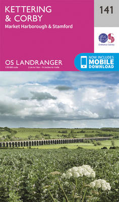
The area around Kettering, Corby, Market Harborough and Stamford, including Rockingham Forest and part of the E2 European Long-distance Path, on a paper version of map No. 141 from the Ordnance Survey’s Landranger series at 1:50,000, with contoured and GPS compatible topographic mapping plus tourist information.MOBILE DOWNLOADS: As well as the physical edition of the
Peterborough, Market Deeping & Chatteris OS Landranger Map 142 (paper)

The area around Peterborough, Market Deeping and Chatteris, including the Fens of the North and Middle Levels with part of the E2 European Long-distance Path, on a paper version of map No. 142 from the Ordnance Survey’s Landranger series at 1:50,000, with contoured and GPS compatible topographic mapping plus tourist information.MOBILE DOWNLOADS: As well as
Ely, Wisbech & Downham Market OS Landranger Map 143 (paper)

Cambridgeshire around Ely, Wisbech and Downham Market, including part of the E2 European Long-distance Path, on a paper version of map No. 143 from the Ordnance Survey’s Landranger series at 1:50,000, with contoured and GPS compatible topographic mapping plus tourist information.MOBILE DOWNLOADS: As well as the physical edition of the map, each Landranger title now
Thetford, Diss, Breckland & Wymondham OS Landranger Map 144 (paper)
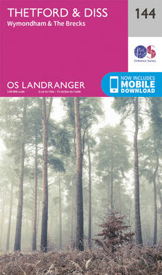
Norfolk around Thetford, Diss, Breckland and Wymondham, including the southern part of the Peddars Wat and Norfolk Coast Path long-distance trail, on a paper version of map No. 144 from the Ordnance Survey’s Landranger series at 1:50,000, with contoured and GPS compatible topographic mapping plus tourist information.MOBILE DOWNLOADS: As well as the physical edition of
Cardigan & Mynydd Preseli OS Landranger Map 145 (paper)

The coast of Wales between Dinas Head and New Quay, including Cardigan and the northern part of the Pembrokeshire Coast National Park, on a paper version of map No. 145 from the Ordnance Survey’s Landranger series at 1:50,000, with contoured and GPS compatible topographic mapping plus tourist information.MOBILE DOWNLOADS: As well as the physical edition
Lampeter & Llandovery OS Landranger Map 146 (paper)
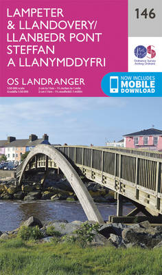
Central Wales around Lampeter and Llandovery on a paper version of map No. 146 from the Ordnance Survey’s Landranger series at 1:50,000, with contoured and GPS compatible topographic mapping plus tourist information.MOBILE DOWNLOADS: As well as the physical edition of the map, each Landranger title now includes a code for downloading after purchase its digital