Category Archives: Travel Guides
Taunton, Lyme Regis, Chard & Bridport OS Landranger Map 193 (paper)
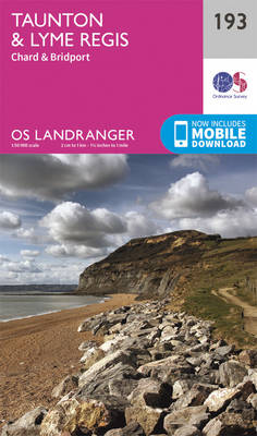
Taunton and Lyme Regis area, including a section of the South West Coast Path / E9 European Long-distance Path, on a paper version of map No. 193 from the Ordnance Survey’s Landranger series at 1:50,000, with contoured and GPS compatible topographic mapping plus tourist information.MOBILE DOWNLOADS: As well as the physical edition of the map,
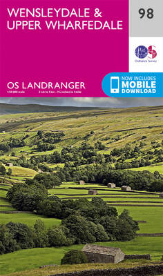
Wensleydale & Upper Wharfedale OS Landranger 98
The OS Landranger Map series covers Great Britain with 204 detailed maps, perfect for day trips and short breaks. Each map provides all the information you need to get to know your local area and includes places of interest, tourist information, picnic areas and camp sites, plus Rights of Way information for England and Wales.
Dorchester, Weymouth, Cerne Abbas & Bere Regis OS Landranger Map 194 (paper)
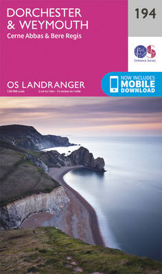
Dorchester and Weymouth area, including a section of the South West Coast Path / E9 European Long-distance Path, on a paper version of map No. 194 from the Ordnance Survey’s Landranger series at 1:50,000, with contoured and GPS compatible topographic mapping plus tourist information.MOBILE DOWNLOADS: As well as the physical edition of the map, each
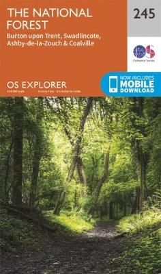
The National Forest – Burton upon Trent – Swadlincote OS Explorer 245
Providing complete GB coverage the series details essential information such as youth hostels, pubs and visitor information as well as rights of way, permissive paths and bridleways
Bournemouth, Purbeck, Wimborne Minster & Ringwood OS Landranger Map 195 (paper)
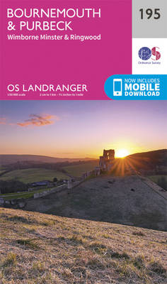
Bournemouth and the Isle of Purbeck area, including part of the New Forest National Park and a section of the South West Coast Path / E9 European Long-distance Path, on a paper version of map No. 195 from the Ordnance Survey’s Landranger series at 1:50,000, with contoured and GPS compatible topographic mapping plus tourist information.MOBILE
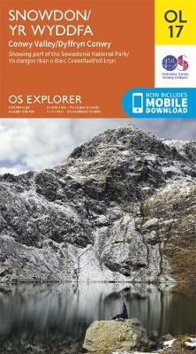
Snowdon / Yr Wyddfa – Conwy Valley / Dyffryn Conwy OS Explorer OL17
Providing complete GB coverage the series details essential information such as youth hostels, pubs and visitor information as well as rights of way, permissive paths and bridleways.
The Solent, Isle of Wight, Southampton & Portsmouth OS Landranger Map 196 (paper)
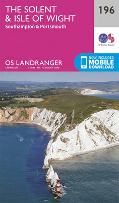
Isle of Wight with the Southampton – Portsmouth area, including part of the New Forest National Park and a section of the E9 European Long-distance Path, on a paper version of map No. 196 from the Ordnance Survey’s Landranger series at 1:50,000, with contoured and GPS compatible topographic mapping plus tourist information.MOBILE DOWNLOADS: As well
The Broads – Wroxham, Beccles, Lowestoft & Great Yarmouth OS Explorer OL40
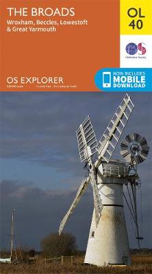
The OS Explorer range of OL maps now includes a digital version of the paper map, accessed through the OS smartphone app, OS Maps.
Chichester, South Downs, Bognor Regis & Arundel OS Landranger Map 197 (paper)
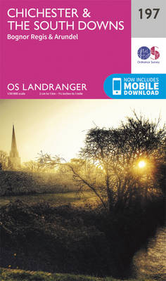
Chichester and Bognor Regis area, including the South Downs National Park and a section of the South Downs Way / E9 European Long-distance Path, on a paper version of map No. 197 from the Ordnance Survey’s Landranger series at 1:50,000, with contoured and GPS compatible topographic mapping plus tourist information.MOBILE DOWNLOADS: As well as the
Brighton, Lewes, Worthing, Horsham & Haywards Heath OS Landranger Map 198 (paper)
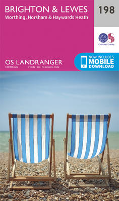
Brighton and Lewes area, including the South Downs National Park and a section of the South Downs Way / E9 European Long-distance Path, on a paper version of map No. 198 from the Ordnance Survey’s Landranger series at 1:50,000, with contoured and GPS compatible topographic mapping plus tourist information.MOBILE DOWNLOADS: As well as the physical
Eastbourne, Hastings, Crowborough, Battle & Heathfield OS Landranger Map 199 (paper)
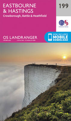
Eastbourne and Hastings area, including the Seven Sisters and sections of the South Downs Way and the E9 European Long-distance Path, on a paper version of map No. 199 from the Ordnance Survey’s Landranger series at 1:50,000, with contoured and GPS compatible topographic mapping plus tourist information.MOBILE DOWNLOADS: As well as the physical edition of
Salisbury & The Plain – Amesbury OS Landranger Map 184 (paper)

Salisbury with Salisbury Plain and Cranborne Chase on a paper version of map No. 184 from the Ordnance Survey’s Landranger series at 1:50,000, with contoured and GPS compatible topographic mapping plus tourist information.MOBILE DOWNLOADS: As well as the physical edition of the map, each Landranger title now includes a code for downloading after purchase its
Winchester, Basingstoke, Andover & Romsey OS Landranger Map 185 (paper)
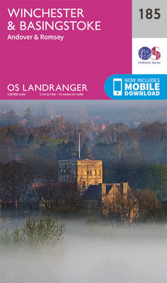
Winchester and Basingstoke area, including the westernmost part of the South Downs National Park and a section of the South Downs Way, on a paper version of map No. 185 from the Ordnance Survey’s Landranger series at 1:50,000, with contoured and GPS compatible topographic mapping plus tourist information.MOBILE DOWNLOADS: As well as the physical edition
Aldershot, Guildford, Camberley & Haslemere OS Landranger Map 186 (paper)
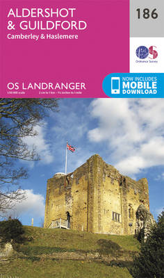
Aldershot and Guildford area, including the northern part of the South Downs National Park and a section of the North Downs Way / E2 European Long-distance Path, on a paper version of map No. 186 from the Ordnance Survey’s Landranger series at 1:50,000, with contoured and GPS compatible topographic mapping plus tourist information.MOBILE DOWNLOADS: As
Dorking, Reigate, Crawley & Horsham OS Landranger Map 187 (paper)
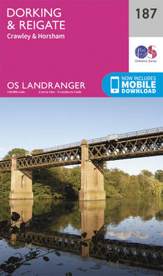
Dorking and Reigate area, including a section of the North Downs Way / E2 European Long-distance Path, on a paper version of map No. 187 from the Ordnance Survey’s Landranger series at 1:50,000, with contoured and GPS compatible topographic mapping plus tourist information.MOBILE DOWNLOADS: As well as the physical edition of the map, each Landranger
Maidstone, Royal Tunbridge Wells, Sevenoaks & Tonbridge OS Landranger Map 188 (paper)
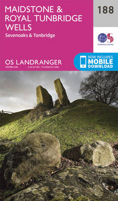
Maidstone, Tunbridge Wells and the High Weald area, including a section of the North Downs Way / E2 European Long-distance Path, on a paper version of map No. 188 from the Ordnance Survey’s Landranger series at 1:50,000, with contoured and GPS compatible topographic mapping plus tourist information.MOBILE DOWNLOADS: As well as the physical edition of
Swindon, Devizes, Marlborough & Trowbridge OS Landranger Map 173 (paper)
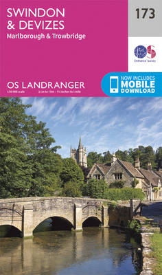
Swindon – Devizes area, including the westernmost section of the Ridgeway and part of the Thames Path, on a paper version of map No. 173 from the Ordnance Survey’s Landranger series at 1:50,000, with contoured and GPS compatible topographic mapping plus tourist information.MOBILE DOWNLOADS: As well as the physical edition of the map, each Landranger
Ashford, Romney Marsh, Rye & Folkestone OS Landranger Map 189 (paper)
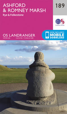
Ashford and Romney Marsh area, including sections of the North Downs Way and the E9 European Long-distance Path, on a paper version of map No. 189 from the Ordnance Survey’s Landranger series at 1:50,000, with contoured and GPS compatible topographic mapping plus tourist information.MOBILE DOWNLOADS: As well as the physical edition of the map, each
Newbury, Wantage, Hungerford & Didcot OS Landranger Map 174 (paper)
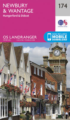
Newbury – Wantage area, including a section of the Ridgeway along the Lambourn Downs, on a paper version of map No. 174 from the Ordnance Survey’s Landranger series at 1:50,000, with contoured and GPS compatible topographic mapping plus tourist information.MOBILE DOWNLOADS: As well as the physical edition of the map, each Landranger title now includes
Bude, Clovelly, Boscastle & Holsworthy OS Landranger Map 190 (paper)
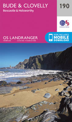
Bude and Clovelly area, including a section of the South West Coast Path, on a paper version of map No. 190 from the Ordnance Survey’s Landranger series at 1:50,000, with contoured and GPS compatible topographic mapping plus tourist information.MOBILE DOWNLOADS: As well as the physical edition of the map, each Landranger title now includes a