Category Archives: Travel Guides
North East Norfolk – Cromer & Wroxham OS Landranger 133

OS Landranger now includes a digital version of the paper map, accessed through the OS smartphone app, OS Maps.
Northern Scotland, Orkney & Shetland OS Road Map 1
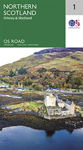
The OS Roadmaps series are single sided folded maps, the 8 maps provide GB 1: 250 000 coverage to enable the end user to navigate and plan their road journey. The maps include all motorways, primary routes and A roads plus detailed tourist information including National Parks, Country Parks and World Heritage sites and a
Norwich & The Broads – Great Yarmouth OS Landranger 134
OS Landranger now includes a digital version of the paper map, accessed through the OS smartphone app, OS Maps.
Western Scotland & the Western Isles OS Road Map 2
The OS Roadmaps series are single sided folded maps, the 8 maps provide GB 1: 250 000 coverage to enable the end user to navigate and plan their road journey. The maps include all motorways, primary routes and A roads plus detailed tourist information including National Parks, Country Parks and World Heritage sites and a
Harlech, Porthmadog & Bala / Y Bala OS Explorer OL18
Providing complete GB coverage the series details essential information such as youth hostels, pubs and visitor information as well as rights of way, permissive paths and bridleways.
Southern Scotland & Northumberland OS Road Map 3
The OS Roadmaps series are single sided folded maps, the 8 maps provide GB 1: 250 000 coverage to enable the end user to navigate and plan their road journey. The maps include all motorways, primary routes and A roads plus detailed tourist information including National Parks, Country Parks and World Heritage sites and a
Cadair Idris & Llyn Tegid OS Explorer OL23
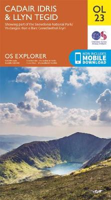
Providing complete GB coverage the series details essential information such as youth hostels, pubs and visitor information as well as rights of way, permissive paths and bridleways.
North & Mid Wales / Gogledd a Chanolbarth Cymru OS Tour Map 10
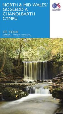
The map also pinpoint many minor roads, national & regional cycle routes.
South & Mid Wales / De a Chanolbarth Cymru OS Tour Map 11
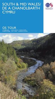
The map also pinpoint many minor roads, national & regional cycle routes.
Hadrian`s Wall – Haltwhistle & Hexham OS Explorer OL43
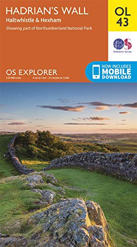
Walk in the footsteps of the Romans and experience this ancient frontier with over 2,000 years of history. Highlights include: Gilsland, Corbridge, Haltwhistle, Humshaugh, Hexham, Haydon Bridge, Bardon Mill, Greenlee Lough, Housesteads, Chesters Roman Fort, and Vindolanda. The OS Explorer range of OL maps now includes a digital version of the paper map, accessed through
Isle of Wight OS Explorer OL29
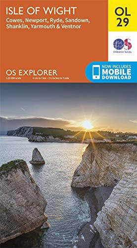
Map sheet number OL29 in the OS Explorer map series is the perfect map for your days out and holidays on the Isle of Wight. An ideal destination for beach lovers, walkers, surfers and mountain bikers, the Isle of Wight is home to many attractions. Highlights of the area include: The Needles, Ventnor, Blackgang Chine,
Appleby-in-Westmorland – Brough & Kirkby Stephen OS Landranger 91
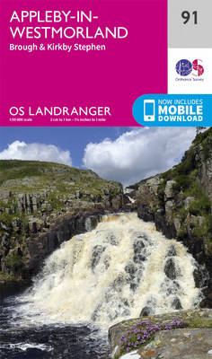
The OS Landranger Map series covers Great Britain with 204 detailed maps, perfect for day trips and short breaks. Each map provides all the information you need to get to know your local area and includes places of interest, tourist information, picnic areas and camp sites, plus Rights of Way information for England and Wales.
Barnard Castle & Richmond – Teesdale OS Landranger 92
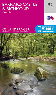
The OS Landranger Map series covers Great Britain with 204 detailed maps, perfect for day trips and short breaks. Each map provides all the information you need to get to know your local area and includes places of interest, tourist information, picnic areas and camp sites, plus Rights of Way information for England and Wales.
Kendal & Morecambe – Windermere & Lancaster OS Landranger 97
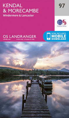
The OS Landranger Map series covers Great Britain with 204 detailed maps, perfect for day trips and short breaks. Each map provides all the information you need to get to know your local area and includes places of interest, tourist information, picnic areas and camp sites, plus Rights of Way information for England and Wales.
Taunton, Lyme Regis, Chard & Bridport OS Landranger Map 193 (paper)
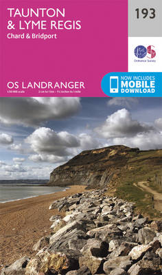
Taunton and Lyme Regis area, including a section of the South West Coast Path / E9 European Long-distance Path, on a paper version of map No. 193 from the Ordnance Survey’s Landranger series at 1:50,000, with contoured and GPS compatible topographic mapping plus tourist information.MOBILE DOWNLOADS: As well as the physical edition of the map,
Wensleydale & Upper Wharfedale OS Landranger 98
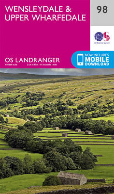
The OS Landranger Map series covers Great Britain with 204 detailed maps, perfect for day trips and short breaks. Each map provides all the information you need to get to know your local area and includes places of interest, tourist information, picnic areas and camp sites, plus Rights of Way information for England and Wales.
Dorchester, Weymouth, Cerne Abbas & Bere Regis OS Landranger Map 194 (paper)
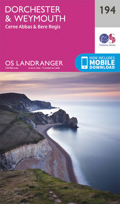
Dorchester and Weymouth area, including a section of the South West Coast Path / E9 European Long-distance Path, on a paper version of map No. 194 from the Ordnance Survey’s Landranger series at 1:50,000, with contoured and GPS compatible topographic mapping plus tourist information.MOBILE DOWNLOADS: As well as the physical edition of the map, each
The National Forest – Burton upon Trent – Swadlincote OS Explorer 245
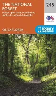
Providing complete GB coverage the series details essential information such as youth hostels, pubs and visitor information as well as rights of way, permissive paths and bridleways
Bournemouth, Purbeck, Wimborne Minster & Ringwood OS Landranger Map 195 (paper)
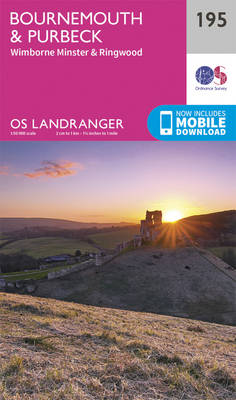
Bournemouth and the Isle of Purbeck area, including part of the New Forest National Park and a section of the South West Coast Path / E9 European Long-distance Path, on a paper version of map No. 195 from the Ordnance Survey’s Landranger series at 1:50,000, with contoured and GPS compatible topographic mapping plus tourist information.MOBILE
Snowdon / Yr Wyddfa – Conwy Valley / Dyffryn Conwy OS Explorer OL17
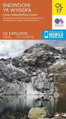
Providing complete GB coverage the series details essential information such as youth hostels, pubs and visitor information as well as rights of way, permissive paths and bridleways.