Category Archives: Travel Guides
The English Lakes – South-Eastern Area – Windermere, Kendal & Silverdale OS Explorer OL7
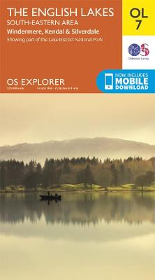
OS Explorer is the Ordnance Survey`s most detailed map and is recommended for anyone enjoying outdoor activities like walking, horse riding and off-road cycling. The OS Explorer range of OL maps now includes a digital version of the paper map, accessed through the OS smartphone app, OS Maps. Providing complete GB coverage the series details
Dartmoor OS Explorer OL28
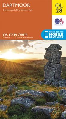
OS Explorer is the Ordnance Survey`s most detailed map and is recommended for anyone enjoying outdoor activities like walking, horse riding and off-road cycling. The OS Explorer range of OL maps now includes a digital version of the paper map, accessed through the OS smartphone app, OS Maps. Providing complete GB coverage the series details
Shetland: Yell, Unst and Fetlar OS Landranger Active Map 1 (waterproof)
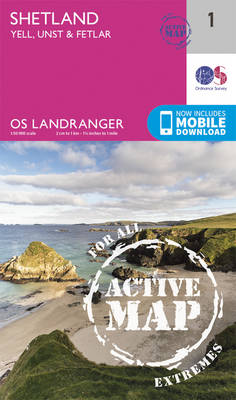
Waterproof and tear-resistant OS Active version of map No. 1 from the Ordnance Survey’s Landranger series at 1:50,000, with contoured and GPS compatible topographic mapping plus tourist information.MOBILE DOWNLOADS: As well as the physical edition of the map, each Landranger title now includes a code for downloading after purchase its digital version onto your smartphone
Shetland: Sullom Voe and Whalsay OS Landranger Active Map 2 (waterproof)
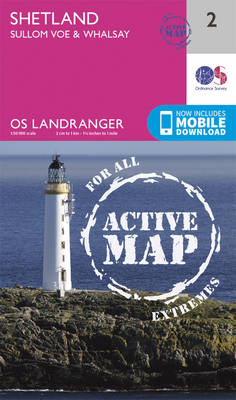
Waterproof and tear-resistant OS Active version of map No. 2 from the Ordnance Survey’s Landranger series at 1:50,000, with contoured and GPS compatible topographic mapping plus tourist information.MOBILE DOWNLOADS: As well as the physical edition of the map, each Landranger title now includes a code for downloading after purchase its digital version onto your smartphone
Shetland: North Mainland OS Landranger Active Map 3 (waterproof)

Waterproof and tear-resistant OS Active version of map No. 3 from the Ordnance Survey’s Landranger series at 1:50,000, with contoured and GPS compatible topographic mapping plus tourist information.MOBILE DOWNLOADS: As well as the physical edition of the map, each Landranger title now includes a code for downloading after purchase its digital version onto your smartphone
Shetland: South Mainland OS Landranger Active Map 4 (waterproof)
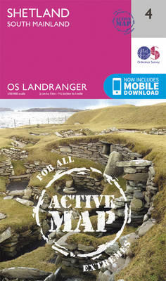
Waterproof and tear-resistant OS Active version of map No. 4 from the Ordnance Survey’s Landranger series at 1:50,000, with contoured and GPS compatible topographic mapping plus tourist information.MOBILE DOWNLOADS: As well as the physical edition of the map, each Landranger title now includes a code for downloading after purchase its digital version onto your smartphone
Orkney: Northern Isles OS Landranger Active Map 5 (waterproof)
Waterproof and tear-resistant OS Active version of map No. 5 from the Ordnance Survey’s Landranger series at 1:50,000, with contoured and GPS compatible topographic mapping plus tourist information.MOBILE DOWNLOADS: As well as the physical edition of the map, each Landranger title now includes a code for downloading after purchase its digital version onto your smartphone
Orkney: Mainland OS Landranger Active Map 6 (waterproof)
Waterproof and tear-resistant OS Active version of map No. 6 from the Ordnance Survey’s Landranger series at 1:50,000, with contoured and GPS compatible topographic mapping plus tourist information.MOBILE DOWNLOADS: As well as the physical edition of the map, each Landranger title now includes a code for downloading after purchase its digital version onto your smartphone
The English Lakes – North-Eastern Area – Penrith, Patterdale & Caldbeck OS Explorer OL5
OS Explorer is the Ordnance Survey`s most detailed map and is recommended for anyone enjoying outdoor activities like walking, horse riding and off-road cycling. The OS Explorer range of OL maps now includes a digital version of the paper map, accessed through the OS smartphone app, OS Maps. Providing complete GB coverage the series details
Orkney: Southern Isles OS Landranger Active Map 7 (waterproof)
Waterproof and tear-resistant OS Active version of map No. 7 from the Ordnance Survey’s Landranger series at 1:50,000, with contoured and GPS compatible topographic mapping plus tourist information.MOBILE DOWNLOADS: As well as the physical edition of the map, each Landranger title now includes a code for downloading after purchase its digital version onto your smartphone
Stornoway & North Lewis OS Landranger Active Map 8 (waterproof)
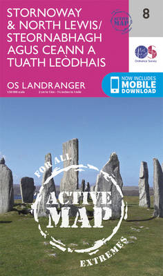
Waterproof and tear-resistant OS Active version of map No. 8 from the Ordnance Survey’s Landranger series at 1:50,000, with contoured and GPS compatible topographic mapping plus tourist information.MOBILE DOWNLOADS: As well as the physical edition of the map, each Landranger title now includes a code for downloading after purchase its digital version onto your smartphone
South West England OS Road Map 7
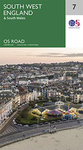
The OS Roadmaps series are single sided folded maps, the 8 maps provide GB 1: 250 000 coverage to enable the end user to navigate and plan their road journey. The maps include all motorways, primary routes and A roads plus detailed tourist information including National Parks, Country Parks and World Heritage sites and a
Land`s End & Isles of Scilly – St Ives & Lizard Point OS Landranger 203

The OS Landranger Map series covers Great Britain with 204 detailed maps, perfect for day trips and short breaks. Each map provides all the information you need to get to know your local area and includes places of interest, tourist information, picnic areas and camp sites, plus Rights of Way information for England and Wales.
South East England OS Road Map 8
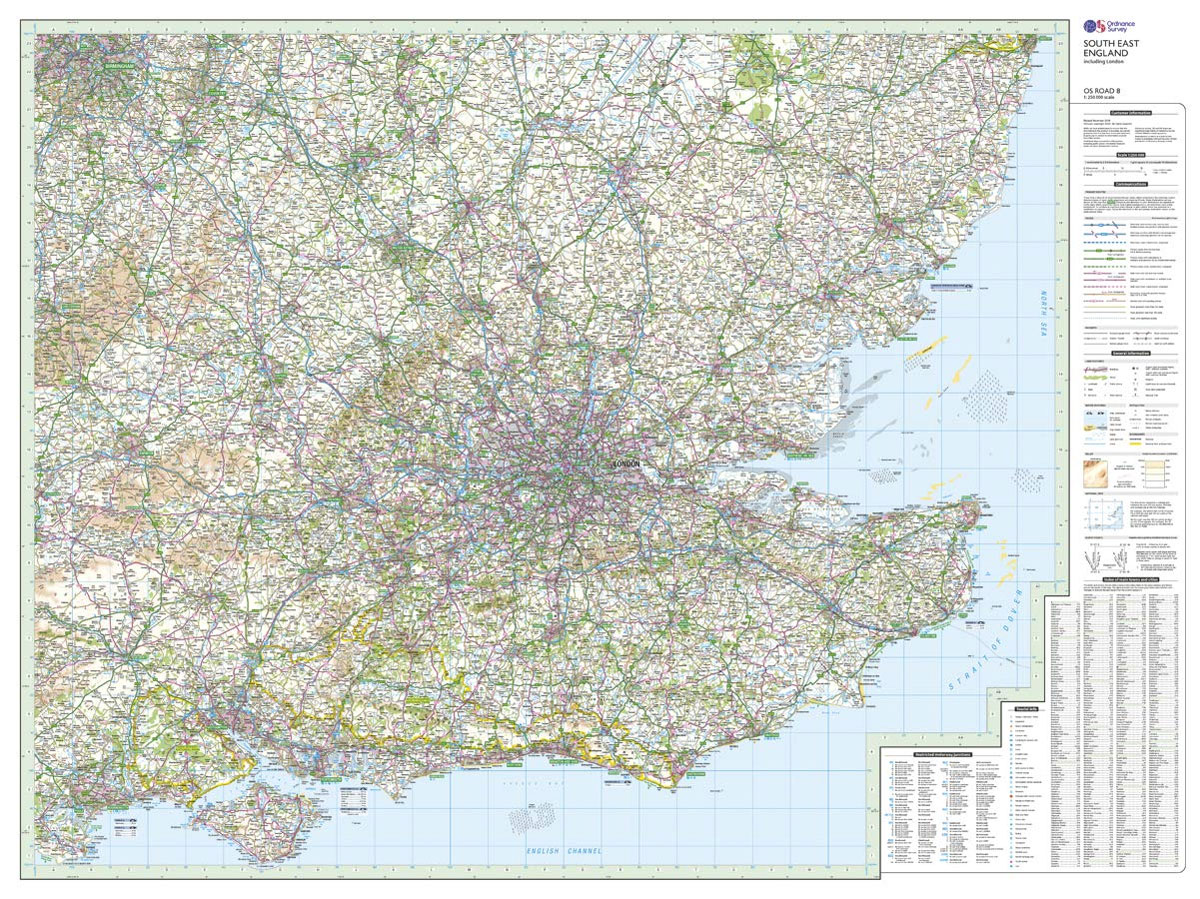
The OS Roadmaps series are single sided folded maps, the 8 maps provide GB 1: 250 000 coverage to enable the end user to navigate and plan their road journey. The maps include all motorways, primary routes and A roads plus detailed tourist information including National Parks, Country Parks and World Heritage sites and a
Newtown & Llanidloes / Y Drenewydd a Llanidloes OS Landranger 136
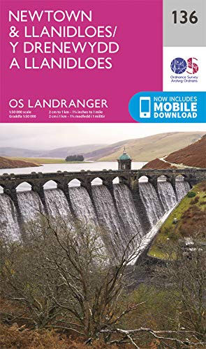
The OS Landranger Map series covers Great Britain with 204 detailed maps, perfect for day trips and short breaks. Each map provides all the information you need to get to know your local area and includes places of interest, tourist information, picnic areas and camp sites, plus Rights of Way information for England and Wales.
Saxmundham – Aldeburgh & Southwold OS Landranger 156
The OS Landranger Map series covers Great Britain with 204 detailed maps, perfect for day trips and short breaks. Each map provides all the information you need to get to know your local area and includes places of interest, tourist information, picnic areas and camp sites, plus Rights of Way information for England and Wales.
Wye Valley & Forest of Dean OS Explorer OL14
OS Explorer is the Ordnance Survey`s most detailed map and is recommended for anyone enjoying outdoor activities like walking, horse riding and off-road cycling. The OS Explorer range of OL maps now includes a digital version of the paper map, accessed through the OS smartphone app, OS Maps. Providing complete GB coverage the series details
The Peak District – White Peak Area – Buxton – Bakewell – Matlock & Dove Dale OS Expolorer OL24
OS Explorer is the Ordnance Survey`s most detailed map and is recommended for anyone enjoying outdoor activities like walking, horse riding and off-road cycling. The OS Explorer range of OL maps now includes a digital version of the paper map, accessed through the OS smartphone app, OS Maps. Providing complete GB coverage the series details
Lake District & Cumbria OS Tour Map 3

The OS Tour Map series is a must for anyone visiting Britain`s most popular holiday destinations. These maps are packed with essential tourist information – from the best beaches to rural pubs, designed specifically with Tourists in mind. All county boundaries are clearly marked and as well as showing motorways and main roads, the maps
Peak District & Derbyshire OS Tour Map 4
The OS Tour Map series is a must for anyone visiting Britain`s most popular holiday destinations. These maps are packed with essential tourist information – from the best beaches to rural pubs, designed specifically with Tourists in mind. All county boundaries are clearly marked and as well as showing motorways and main roads, the maps