Category Archives: Travel Guides
The Black Mountains – Abergavenny OS Landranger Active Map 161 (waterproof)
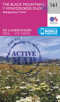
The Black Mountains in the Brecon Beacons National Park, including a part of the Offa’s Dyke Path, on a waterproof and tear-resistant OS Active version of map No. 161 from the Ordnance Survey’s Landranger series at 1:50,000, with contoured and GPS compatible topographic mapping plus tourist information.MOBILE DOWNLOADS: As well as the physical edition of
Cardigan & Mynydd Preseli OS Landranger Active Map 145 (waterproof)
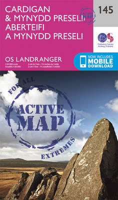
The coast of Wales between Dinas Head and New Quay, including Cardigan and the northern part of the Pembrokeshire Coast National Park, on a waterproof and tear-resistant OS Active version of map No. 145 from the Ordnance Survey’s Landranger series at 1:50,000, with contoured and GPS compatible topographic mapping plus tourist information.MOBILE DOWNLOADS: As well
Cheltenham, Cirencester & Stow-on-the-Wold OS Landranger Active Map 163 (waterproof)

Cheltenham and Cirencester area, including sections of the Thames Path, the Cotswold Way and the E2 European Long-distance Path, on a waterproof and tear-resistant OS Active version of map No. 163 from the Ordnance Survey’s Landranger series at 1:50,000, with contoured and GPS compatible topographic mapping plus tourist information.MOBILE DOWNLOADS: As well as the physical
Lampeter & Llandovery OS Landranger Active Map 146 (waterproof)
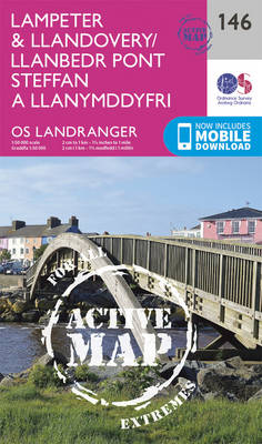
Central Wales around Lampeter and Llandovery on a waterproof and tear-resistant OS Active version of map No. 146 from the Ordnance Survey’s Landranger series at 1:50,000, with contoured and GPS compatible topographic mapping plus tourist information.MOBILE DOWNLOADS: As well as the physical edition of the map, each Landranger title now includes a code for downloading
Oxford, Chipping Norton & Bicester OS Landranger Active Map 164 (waterproof)

Oxford area, including sections of the Thames Path and the E2 European Long-distance Path, on a waterproof and tear-resistant OS Active version of map No. 164 from the Ordnance Survey’s Landranger series at 1:50,000, with contoured and GPS compatible topographic mapping plus tourist information.MOBILE DOWNLOADS: As well as the physical edition of the map, each
Elan Valley & Builth Wells OS Landranger Active Map 147 (waterproof)

Central Wales around the Elan Valley and Builth Wells, including a part of the Glyndwr’s Way long-distance trail, on a waterproof and tear-resistant OS Active version of map No. 147 from the Ordnance Survey’s Landranger series at 1:50,000, with contoured and GPS compatible topographic mapping plus tourist information.MOBILE DOWNLOADS: As well as the physical edition
Aylesbury, Leighton Buzzard, Thame & Berkhamsted OS Landranger Active Map 165 (waterproof)
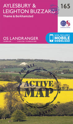
Aylesbury, Leighton Buzzard and Thame area, including Chiltern Hills with part of the Ridgeway, on a waterproof and tear-resistant OS Active version of map No. 165 from the Ordnance Survey’s Landranger series at 1:50,000, with contoured and GPS compatible topographic mapping plus tourist information.MOBILE DOWNLOADS: As well as the physical edition of the map, each
Presteigne & Hay-on-Wye OS landranger Active Map 148 (waterproof)
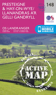
The borderlands of England and Wales around Presteigne and Hay-on-Wye, including parts of Offa’s Dyke and Glyndwr’s long-distance trails, on a waterproof and tear-resistant OS Active version of map No. 148 from the Ordnance Survey’s Landranger series at 1:50,000, with contoured and GPS compatible topographic mapping plus tourist information.MOBILE DOWNLOADS: As well as the physical
Hereford, Leominster, Bromyard & Ledbury OS Landranger Active Map 149 (waterproof)
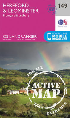
The area around Hereford, Leominster, Bromyard and Ledbury on a waterproof and tear-resistant OS Active version of map No. 149 from the Ordnance Survey’s Landranger series at 1:50,000, with contoured and GPS compatible topographic mapping plus tourist information.MOBILE DOWNLOADS: As well as the physical edition of the map, each Landranger title now includes a code
Worcester, The Malverns, Evesham & Tewkesbury OS Landranger Active Map 150 (waterproof)

The area around Worcester, Great Malvern, Evesham and Tewkesbury, including the Malvern Hills and part of the Cotswold Way / E2 European Long-distance Path, on a waterproof and tear-resistant OS Active version of map No. 150 from the Ordnance Survey’s Landranger series at 1:50,000, with contoured and GPS compatible topographic mapping plus tourist information.MOBILE DOWNLOADS:
Stratford-upon-Avon, Warwick & Banbury OS Landranger Active Map 151 (waterproof)
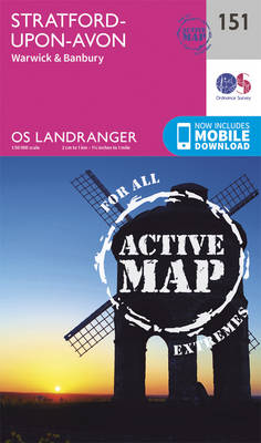
The area between Stratford-upon-Avon, Warwick and Banbury, including the northern part of the Cotswold Hills and part of the Cotswold Way / E2 European Long-distance Path, on a waterproof and tear-resistant OS Active version of map No. 151 from the Ordnance Survey’s Landranger series at 1:50,000, with contoured and GPS compatible topographic mapping plus tourist
Aberystwyth & Machynlleth OS Landranger Active Map 135 (waterproof)
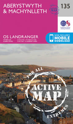
Central Wales around Aberystwyth and Machynlleth, including the southernmost part of the Snowdonia National Park and a section of the Glyndwr’s Way Long-distance Path, on a waterproof and tear-resistant OS Active version of map No. 135 from the Ordnance Survey’s Landranger series at 1:50,000, with contoured and GPS compatible topographic mapping plus tourist information.MOBILE DOWNLOADS:
Church Stretton, Ludlow & Wenlock Edge OS Landranger Active Map 137 (waterproof)
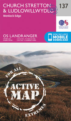
Church Stretton, Ludlow, Wenlock Edge, Long Mynd and the area westwards to Montgomery, Knighton and Presteigne including a section of the Offa’s Dyke Path National Trail on a waterproof and tear-resistant OS Active version of map No. 137 from the Ordnance Survey’s Landranger series at 1:50,000, with contoured and GPS compatible topographic mapping plus tourist
Kidderminster & Wyre Forest OS Landranger 138 ACTIVE
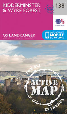
The area between Kidderminster and Much Wenlock, the Wenlock Edge and Ludlow on a waterproof and tear-resistant OS Active version of map No. 138 from the Ordnance Survey’s Landranger series at 1:50,000, with contoured and GPS compatible topographic mapping plus tourist information.MOBILE DOWNLOADS: As well as the physical edition of the map, each Landranger title
Birmingham, Wolverhampton & The Black Country OS Landranger Active Map 139 (waterproof)

Birmingham with the surrounding area including the Black Country, Wolverhampton, Walsall, Solihull, Stourbridge, Bromsgrove and a section of the E2 European Long-distance Path on a waterproof and tear-resistant OS Active version of map No. 139 from the Ordnance Survey’s Landranger series at 1:50,000, with contoured and GPS compatible topographic mapping plus tourist information.MOBILE DOWNLOADS: As
Lincoln & Newark-on-Trent OS Landranger Active Map 121 (waterproof)

Waterproof and tear-resistant OS Active version of map No. 121 from the Ordnance Survey’s Landranger series at 1:50,000, with contoured and GPS compatible topographic mapping plus tourist information.MOBILE DOWNLOADS: As well as the physical edition of the map, each Landranger title now includes a code for downloading after purchase its digital version onto your smartphone
Leicester, Coventry & Rugby OS Landranger Active Map 140 (waterproof)

The area between Leicester, Coventry and Rugby on a waterproof and tear-resistant OS Active version of map No. 140 from the Ordnance Survey’s Landranger series at 1:50,000, with contoured and GPS compatible topographic mapping plus tourist information.MOBILE DOWNLOADS: As well as the physical edition of the map, each Landranger title now includes a code for
Skegness & Horncastle OS Landranger Active Map 122 (waterproof)
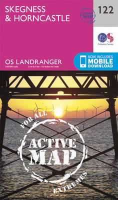
Waterproof and tear-resistant OS Active version of map No. 122 from the Ordnance Survey’s Landranger series at 1:50,000, with contoured and GPS compatible topographic mapping plus tourist information.MOBILE DOWNLOADS: As well as the physical edition of the map, each Landranger title now includes a code for downloading after purchase its digital version onto your smartphone
Kettering, Corby, Market Harborough & Stamford OS Landranger Active Map 141 (waterproof)
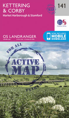
The area around Kettering, Corby, Market Harborough and Stamford, including Rockingham Forest and part of the E2 European Long-distance Path, on a waterproof and tear-resistant OS Active version of map No. 141 from the Ordnance Survey’s Landranger series at 1:50,000, with contoured and GPS compatible topographic mapping plus tourist information.MOBILE DOWNLOADS: As well as the
Lleyn Peninsula OS Landranger Active Map 123 (waterproof)
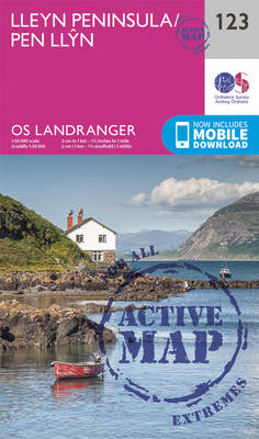
Waterproof and tear-resistant OS Active version of map No. 123 from the Ordnance Survey’s Landranger series at 1:50,000, with contoured and GPS compatible topographic mapping plus tourist information.MOBILE DOWNLOADS: As well as the physical edition of the map, each Landranger title now includes a code for downloading after purchase its digital version onto your smartphone