Category Archives: Travel Guides
Appleby-in-Westmorland – Brough & Kirkby Stephen OS Landranger 91 ACTIVE
The OS Landranger Active Map series covers Great Britain with 204 detailed maps, perfect for day trips and short breaks. Tough, durable and weatherproof, covered in a lightweight protective plastic coating that can be written on, so that your favourite routes can be easily highlighted. Each map provides all the information you need to get
Ashford, Romney Marsh, Rye & Folkestone OS Landranger Active Map 189 (waterproof)
Ashford and Romney Marsh area, including sections of the North Downs Way and the E9 European Long-distance Path, on a waterproof and tear-resistant OS Active version of map No. 189 from the Ordnance Survey’s Landranger series at 1:50,000, with contoured and GPS compatible topographic mapping plus tourist information.MOBILE DOWNLOADS: As well as the physical edition
Barnard Castle & Richmond – Teesdale OS Landranger 92 ACTIVE

Waterproof and tear-resistant OS Active version of map No. 92 from the Ordnance Survey’s Landranger series at 1:50,000, with contoured and GPS compatible topographic mapping plus tourist information.MOBILE DOWNLOADS: As well as the physical edition of the map, each Landranger title now includes a code for downloading after purchase its digital version onto your smartphone
Bude, Clovelly, Boscastle & Holsworthy OS Landranger Active Map 190 (waterproof)
Bude and Clovelly area, including a section of the South West Coast Path, on a waterproof and tear-resistant OS Active version of map No. 190 from the Ordnance Survey’s Landranger series at 1:50,000, with contoured and GPS compatible topographic mapping plus tourist information.MOBILE DOWNLOADS: As well as the physical edition of the map, each Landranger
Okehampton, North Dartmoor, Crediton & Bovey Tracey OS Landranger Active Map 191 (waterproof)
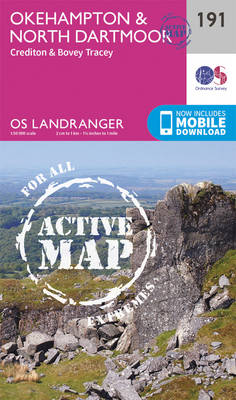
Okehampton and the northern part of the Dartmoor National Park on a waterproof and tear-resistant OS Active version of map No. 191 from the Ordnance Survey’s Landranger series at 1:50,000, with contoured and GPS compatible topographic mapping plus tourist information.MOBILE DOWNLOADS: As well as the physical edition of the map, each Landranger title now includes
Exeter, Sidmouth, Exmouth & Teignmouth OS Landranger Active Map 192 (waterproof)
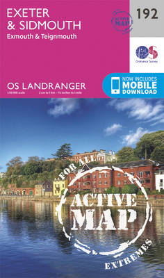
Exeter and Sidmouth area, including a section of the South West Coast Path / E9 European Long-distance Path, on a waterproof and tear-resistant OS Active version of map No. 192 from the Ordnance Survey’s Landranger series at 1:50,000, with contoured and GPS compatible topographic mapping plus tourist information.MOBILE DOWNLOADS: As well as the physical edition
Taunton, Lyme Regis, Chard & Bridport OS Landranger Active Map 193 (waterproof)
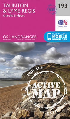
Taunton and Lyme Regis area, including a section of the South West Coast Path / E9 European Long-distance Path, on a waterproof and tear-resistant OS Active version of map No. 193 from the Ordnance Survey’s Landranger series at 1:50,000, with contoured and GPS compatible topographic mapping plus tourist information.MOBILE DOWNLOADS: As well as the physical
Dorchester, Weymouth, Cerne Abbas & Bere Regis OS Landranger Active Map 194 (waterproof)
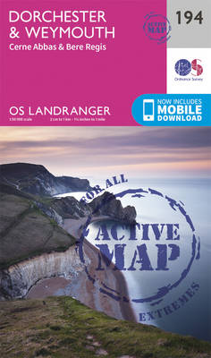
Dorchester and Weymouth area, including a section of the South West Coast Path / E9 European Long-distance Path, on a waterproof and tear-resistant OS Active version of map No. 194 from the Ordnance Survey’s Landranger series at 1:50,000, with contoured and GPS compatible topographic mapping plus tourist information.MOBILE DOWNLOADS: As well as the physical edition
Bournemouth, Purbeck, Wimborne Minster & Ringwood OS Landranger Active Map 195 (waterproof)
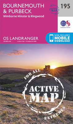
Bournemouth and the Isle of Purbeck area, including part of the New Forest National Park and a section of the South West Coast Path / E9 European Long-distance Path, on a waterproof and tear-resistant OS Active version of map No. 195 from the Ordnance Survey’s Landranger series at 1:50,000, with contoured and GPS compatible topographic
The Solent, Isle of Wight, Southampton & Portsmouth OS Landranger Active Map 196 (waterproof)

Isle of Wight with the Southampton – Portsmouth area, including part of the New Forest National Park and a section of the E9 European Long-distance Path, on a waterproof and tear-resistant OS Active version of map No. 196 from the Ordnance Survey’s Landranger series at 1:50,000, with contoured and GPS compatible topographic mapping plus tourist
Chichester, South Downs, Bognor Regis & Arundel OS Landranger Active Map 197 (waterproof)
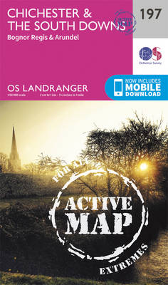
Chichester and Bognor Regis area, including the South Downs National Park and a section of the South Downs Way / E9 European Long-distance Path, on a waterproof and tear-resistant OS Active version of map No. 197 from the Ordnance Survey’s Landranger series at 1:50,000, with contoured and GPS compatible topographic mapping plus tourist information.MOBILE DOWNLOADS:
Luton, Hertford, Hitchin & St Albans OS Landranger Active Map 166 (waterproof)

Luton, Hertford, Hitchin and St Albans area on a waterproof and tear-resistant OS Active version of map No. 166 from the Ordnance Survey’s Landranger series at 1:50,000, with contoured and GPS compatible topographic mapping plus tourist information.MOBILE DOWNLOADS: As well as the physical edition of the map, each Landranger title now includes a code for
Weston-super-Mare, Bridgwater & Wells OS Landranger Active Map 182 (waterproof)
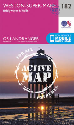
Weston-super-Mare – Bridgwater – Wells area, including the Mendip and Polden Hills, on a waterproof and tear-resistant OS Active version of map No. 182 from the Ordnance Survey’s Landranger series at 1:50,000, with contoured and GPS compatible topographic mapping plus tourist information.MOBILE DOWNLOADS: As well as the physical edition of the map, each Landranger title
Chelmsford, Harlow & Bishop`s Stortford OS Landranger Active Map 167 (waterproof)
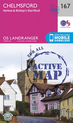
Chelmsford, Harlow and Bishop`s Stortford area, including the Rodings, on a waterproof and tear-resistant OS Active version of map No. 167 from the Ordnance Survey’s Landranger series at 1:50,000, with contoured and GPS compatible topographic mapping plus tourist information.MOBILE DOWNLOADS: As well as the physical edition of the map, each Landranger title now includes a
Yeovil, Frome, Shaftesbury & Shepton Mallet OS Landranger Active Map 183 (waterproof)

Yeovil and Frome area on a waterproof and tear-resistant OS Active version of map No. 183 from the Ordnance Survey’s Landranger series at 1:50,000, with contoured and GPS compatible topographic mapping plus tourist information.MOBILE DOWNLOADS: As well as the physical edition of the map, each Landranger title now includes a code for downloading after purchase
Colchester, Halstead & Maldon OS Landranger Active Map 168 (waterproof)

Colchester, Halstead and Maldon area, including part of the E2 European Long-distance Path, on a waterproof and tear-resistant OS Active version of map No. 168 from the Ordnance Survey’s Landranger series at 1:50,000, with contoured and GPS compatible topographic mapping plus tourist information.MOBILE DOWNLOADS: As well as the physical edition of the map, each Landranger
Salisbury & The Plain – Amesbury OS Landranger Active Map 184 (waterproof)

Salisbury with Salisbury Plain and Cranborne Chase on a waterproof and tear-resistant OS Active version of map No. 184 from the Ordnance Survey’s Landranger series at 1:50,000, with contoured and GPS compatible topographic mapping plus tourist information.MOBILE DOWNLOADS: As well as the physical edition of the map, each Landranger title now includes a code for
Ipswich, The Naze & Clacton-on-Sea OS Landranger Active Map 169 (waterproof)
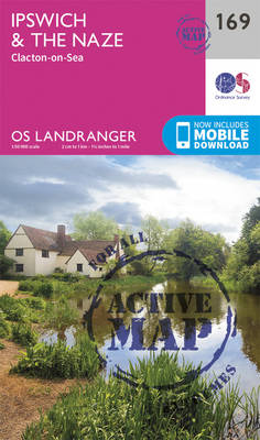
Ipswich with Harwich and The Naze area, including part of the E2 European Long-distance Path, on a waterproof and tear-resistant OS Active version of map No. 169 from the Ordnance Survey’s Landranger series at 1:50,000, with contoured and GPS compatible topographic mapping plus tourist information.MOBILE DOWNLOADS: As well as the physical edition of the map,
Winchester, Basingstoke, Andover & Romsey OS Landranger Active Map 185 (waterproof)
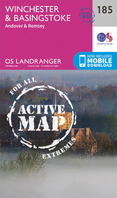
Winchester and Basingstoke area, including the westernmost part of the South Downs National Park and a section of the South Downs Way, on a waterproof and tear-resistant OS Active version of map No. 185 from the Ordnance Survey’s Landranger series at 1:50,000, with contoured and GPS compatible topographic mapping plus tourist information.MOBILE DOWNLOADS: As well
Vale of Glamorgan West, Porthcawl & Rhondda OS Landranger Active Map 170 (waterproof)
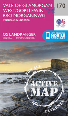
The Vale of Glamorgan, Rhondda and Port Talbot area on a waterproof and tear-resistant OS Active version of map No. 170 from the Ordnance Survey’s Landranger series at 1:50,000, with contoured and GPS compatible topographic mapping plus tourist information.MOBILE DOWNLOADS: As well as the physical edition of the map, each Landranger title now includes a