Category Archives: Travel Guides
Alnwick & Morpeth – Rothbury & Amble OS Landranger 81 ACTIVE
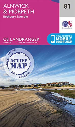
Each map provides all the information you need to get to know your local area and includes places of interest, tourist information, picnic areas and camp sites, plus Rights of Way information for England and Wales. OS Landranger Active includes a digital version of the paper map, accessed through the OS smartphone app, OS Maps.
Wensleydale & Upper Wharfedale OS Landranger 98 ACTIVE
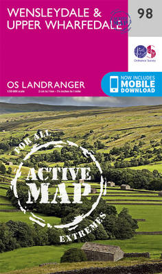
The OS Landranger Active Map series covers Great Britain with 204 detailed maps, perfect for day trips and short breaks. Tough, durable and weatherproof, covered in a lightweight protective plastic coating that can be written on, so that your favourite routes can be easily highlighted. Each map provides all the information you need to get
Gloucester & Forest of Dean OS Landranger 162 ACTIVE
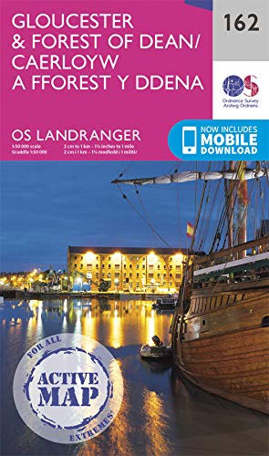
Map sheet number 162 in the OS Landranger series covers the Forest of Dean, Gloucester, Monmouth (Trefynwy), Nailsworth, Dursley, Stroud, Ross-on-Wye, Thornbury and Chepstow (Cas-Gwent). Other highlights include: the north-western area of the Cotswolds Hills, the River Severn and the Offa`s Dyke Path. The map covers an area of 40km by 40km (25 miles by
The National Forest ACTIVE
The OS Explorer Active range includes a digital version of the paper map, accessed through the OS smartphone app, OS Maps
Newtown & Llanidloes / Y Drenewydd a Llanidloes OS Landranger 136 ACTIVE
The OS Landranger Active Map series covers Great Britain with 204 detailed maps, perfect for day trips and short breaks. Tough, durable and weatherproof, covered in a lightweight protective plastic coating that can be written on, so that your favourite routes can be easily highlighted. Each map provides all the information you need to get
Snowdon / Yr Wyddfa – Conwy Valley / Dyffryn Conwy OS Explorer OL17 ACTIVE
The OS Explorer Active range of OL maps now includes a digital version of the paper map, accessed through the OS smartphone app, OS Maps.
Saxmundham – Aldeburgh & Southwold OS Landranger 156 ACTIVE
The OS Landranger Active Map series covers Great Britain with 204 detailed maps, perfect for day trips and short breaks. Tough, durable and weatherproof, covered in a lightweight protective plastic coating that can be written on, so that your favourite routes can be easily highlighted. Each map provides all the information you need to get
The Broads – Wroxham, Beccles, Lowestoft & Great Yarmouth OS Explorer OL40 ACTIVE
The OS Explorer Active range of OL maps now includes a digital version of the paper map, accessed through the OS smartphone app, OS Maps.
The Long Mynd & Wenlock Edge – Church Stretton & Craven Arms OS Explorer 217 ACTIVE
The OS Explorer Active range now includes a digital version of the paper map, accessed through the OS smartphone app, OS Maps.
North East Norfolk – Cromer & Wroxham OS Landranger 133 ACTIVE
Each map provides all the information you need to get to know your local area and includes places of interest, tourist information, picnic areas and camp sites, plus Rights of Way information for England and Wales. OS Landranger Active now includes a digital version of the paper map, accessed through the OS smartphone app, OS
Norwich & The Broads – Great Yarmouth OS Landranger 134 ACTIVE
Each map provides all the information you need to get to know your local area and includes places of interest, tourist information, picnic areas and camp sites, plus Rights of Way information for England and Wales. OS Landranger Active now includes a digital version of the paper map, accessed through the OS smartphone app, OS
Brighton, Lewes, Worthing, Horsham & Haywards Heath OS Landranger Active Map 198 (waterproof)

Brighton and Lewes area, including the South Downs National Park and a section of the South Downs Way / E9 European Long-distance Path, on a waterproof and tear-resistant OS Active version of map No. 198 from the Ordnance Survey’s Landranger series at 1:50,000, with contoured and GPS compatible topographic mapping plus tourist information.MOBILE DOWNLOADS: As
Eastbourne, Hastings, Crowborough, Battle & Heathfield OS Landranger Active Map 199 (waterproof)
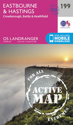
Eastbourne and Hastings area, including the Seven Sisters and sections of the South Downs Way and the E9 European Long-distance Path, on a waterproof and tear-resistant OS Active version of map No. 199 from the Ordnance Survey’s Landranger series at 1:50,000, with contoured and GPS compatible topographic mapping plus tourist information.MOBILE DOWNLOADS: As well as
Plymouth, Launceston, Tavistock & Looe OS Landranger Active Map 201 (waterproof)
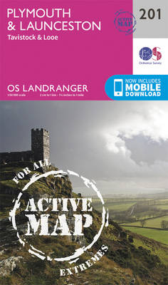
Plymouth and Launceston area, including a section of the South West Coast Path National Trail, on a waterproof and tear-resistant OS Active version of map No. 201 from the Ordnance Survey’s Landranger series at 1:50,000, with contoured and GPS compatible topographic mapping plus tourist information.MOBILE DOWNLOADS: As well as the physical edition of the map,
Howgill Fells & Upper Eden Valley ACTIVE
OS Explorer is the Ordnance Survey`s most detailed map and is recommended for anyone enjoying outdoor activities such as walking, horse riding and off-road cycling. The series provides complete GB coverage and can now be used in all weathers thanks to OS Explorer – Active, a tough, versatile version of OS Explorer. The OS Explorer
Aldershot, Guildford, Camberley & Haslemere OS Landranger Active Map 186 (waterproof)
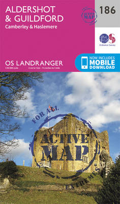
Aldershot and Guildford area, including the northern part of the South Downs National Park and a section of the North Downs Way / E2 European Long-distance Path, on a waterproof and tear-resistant OS Active version of map No. 186 from the Ordnance Survey’s Landranger series at 1:50,000, with contoured and GPS compatible topographic mapping plus
Yorkshire Dales – Northern & Central Areas – Wensleydale & Swaledale OS Explorer OL30 ACTIVE
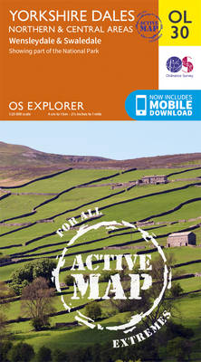
OS Explorer is the Ordnance Survey`s most detailed map and is recommended for anyone enjoying outdoor activities such as walking, horse riding and off-road cycling. The series provides complete GB coverage and can now be used in all weathers thanks to OS Explorer – Active, a tough, versatile version of OS Explorer. The OS Explorer
Dorking, Reigate, Crawley & Horsham OS Landranger Active Map 187 (waterproof)
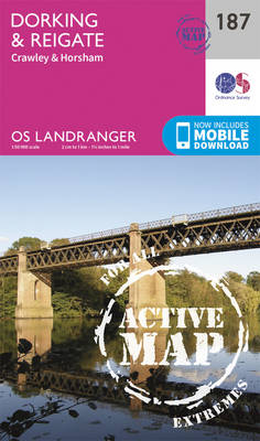
Dorking and Reigate area, including a section of the North Downs Way / E2 European Long-distance Path, on a waterproof and tear-resistant OS Active version of map No. 187 from the Ordnance Survey’s Landranger series at 1:50,000, with contoured and GPS compatible topographic mapping plus tourist information.MOBILE DOWNLOADS: As well as the physical edition of
Penrith & Keswick – Ambleside ACTIVE
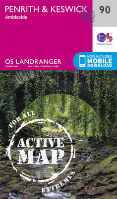
The OS Landranger Active Map series covers Great Britain with 204 detailed maps, perfect for day trips and short breaks. Tough, durable and weatherproof, covered in a lightweight protective plastic coating that can be written on, so that your favourite routes can be easily highlighted. Each map provides all the information you need to get
Maidstone, Royal Tunbridge Wells, Sevenoaks & Tonbridge OS Landranger Active Map 188 (waterproof)
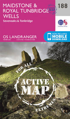
Maidstone, Tunbridge Wells and the High Weald area, including a section of the North Downs Way / E2 European Long-distance Path, on a waterproof and tear-resistant OS Active version of map No. 188 from the Ordnance Survey’s Landranger series at 1:50,000, with contoured and GPS compatible topographic mapping plus tourist information.MOBILE DOWNLOADS: As well as