Category Archives: Travel Guides
The English Lakes – North-Eastern Area – Penrith, Patterdale & Caldbeck OS Explorer OL5 ACTIVE
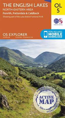
OS Explorer is the Ordnance Survey`s most detailed map and is recommended for anyone enjoying outdoor activities such as walking, horse riding and off-road cycling. The series provides complete GB coverage and can now be used in all weathers thanks to OS Explorer – Active, a tough, versatile version of OS Explorer. The OS Explorer
Holy Island & Bamburgh – Wooler – Belford & Seahouses OS Explorer 340 ACTIVE
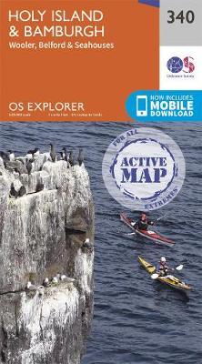
OS Explorer is the Ordnance Survey`s most detailed map and is recommended for anyone enjoying outdoor activities such as walking, horse riding and off-road cycling. The series provides complete GB coverage and can now be used in all weathers thanks to OS Explorer – Active, a tough, versatile version of OS Explorer. The OS Explorer
Isle of Arran OS Explorer 361 ACTIVE
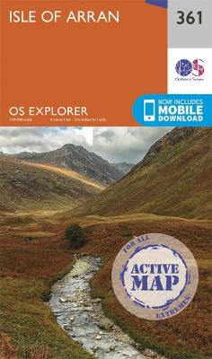
OS Explorer is the Ordnance Survey`s most detailed map and is recommended for anyone enjoying outdoor activities such as walking, horse riding and off-road cycling. The series provides complete GB coverage and can now be used in all weathers thanks to OS Explorer – Active, a tough, versatile version of OS Explorer. The OS Explorer
New Forest – Southampton – Ringwood – Ferndown – Lymington – Christchurch & Bournemouth OS Explorer OL22 ACTIVE
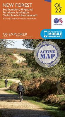
OS Explorer is the Ordnance Survey`s most detailed map and is recommended for anyone enjoying outdoor activities such as walking, horse riding and off-road cycling. The series provides complete GB coverage and can now be used in all weathers thanks to OS Explorer – Active, a tough, versatile version of OS Explorer. The OS Explorer
Newquay & Bodmin – Camelford & St Austell OS Landranger 200 ACTIVE
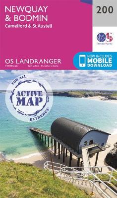
The OS Landranger Active Map series covers Great Britain with 204 detailed maps, perfect for day trips and short breaks. Tough, durable and weatherproof, covered in a lightweight protective plastic coating that can be written on, so that your favourite routes can be easily highlighted. Each map provides all the information you need to get
Land`s End & Isles of Scilly – St Ives & Lizard Point OS Landranger 203 ACTIVE
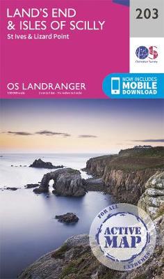
The OS Landranger Active Map series covers Great Britain with 204 detailed maps, perfect for day trips and short breaks. Tough, durable and weatherproof, covered in a lightweight protective plastic coating that can be written on, so that your favourite routes can be easily highlighted. Each map provides all the information you need to get
Truro & Falmouth – Roseland Peninsula OS Landranger 204 ACTIVE
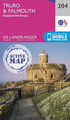
The OS Landranger Active Map series covers Great Britain with 204 detailed maps, perfect for day trips and short breaks. Tough, durable and weatherproof, covered in a lightweight protective plastic coating that can be written on, so that your favourite routes can be easily highlighted. Each map provides all the information you need to get
Torbay & South Dartmoor – Totnes & Salcombe OS Landranger 202 ACTIVE
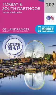
The OS Landranger Active Map series covers Great Britain with 204 detailed maps, perfect for day trips and short breaks. Tough, durable and weatherproof, covered in a lightweight protective plastic coating that can be written on, so that your favourite routes can be easily highlighted. Each map provides all the information you need to get
Ben Nevis – Fort William & Glen Coe OS Landranger 41 ACTIVE
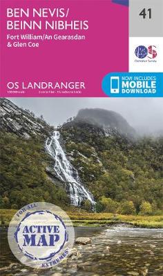
The OS Landranger Active Map series covers Great Britain with 204 detailed maps, perfect for day trips and short breaks. Tough, durable and weatherproof, covered in a lightweight protective plastic coating that can be written on, so that your favourite routes can be easily highlighted. Each map provides all the information you need to get
The English Lakes – North-Western Area – Keswick, Cockermouth & Wigton OS Explorer OL4 ACTIVE
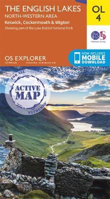
OS Explorer is the Ordnance Survey`s most detailed map and is recommended for anyone enjoying outdoor activities such as walking, horse riding and off-road cycling. The series provides complete GB coverage and can now be used in all weathers thanks to OS Explorer – Active, a tough, versatile version of OS Explorer. The OS Explorer
The English Lakes – South-Western Area – Coniston, Ulverston & Barrow-in-Furness OS Explorer OL6 ACTIVE

OS Explorer is the Ordnance Survey`s most detailed map and is recommended for anyone enjoying outdoor activities such as walking, horse riding and off-road cycling. The series provides complete GB coverage and can now be used in all weathers thanks to OS Explorer – Active, a tough, versatile version of OS Explorer. The OS Explorer
The National Forest ACTIVE
The OS Explorer Active range includes a digital version of the paper map, accessed through the OS smartphone app, OS Maps
Newtown & Llanidloes / Y Drenewydd a Llanidloes OS Landranger 136 ACTIVE
The OS Landranger Active Map series covers Great Britain with 204 detailed maps, perfect for day trips and short breaks. Tough, durable and weatherproof, covered in a lightweight protective plastic coating that can be written on, so that your favourite routes can be easily highlighted. Each map provides all the information you need to get
Snowdon / Yr Wyddfa – Conwy Valley / Dyffryn Conwy OS Explorer OL17 ACTIVE
The OS Explorer Active range of OL maps now includes a digital version of the paper map, accessed through the OS smartphone app, OS Maps.
Saxmundham – Aldeburgh & Southwold OS Landranger 156 ACTIVE
The OS Landranger Active Map series covers Great Britain with 204 detailed maps, perfect for day trips and short breaks. Tough, durable and weatherproof, covered in a lightweight protective plastic coating that can be written on, so that your favourite routes can be easily highlighted. Each map provides all the information you need to get
The Broads – Wroxham, Beccles, Lowestoft & Great Yarmouth OS Explorer OL40 ACTIVE
The OS Explorer Active range of OL maps now includes a digital version of the paper map, accessed through the OS smartphone app, OS Maps.
The Long Mynd & Wenlock Edge – Church Stretton & Craven Arms OS Explorer 217 ACTIVE
The OS Explorer Active range now includes a digital version of the paper map, accessed through the OS smartphone app, OS Maps.
North East Norfolk – Cromer & Wroxham OS Landranger 133 ACTIVE
Each map provides all the information you need to get to know your local area and includes places of interest, tourist information, picnic areas and camp sites, plus Rights of Way information for England and Wales. OS Landranger Active now includes a digital version of the paper map, accessed through the OS smartphone app, OS
Norwich & The Broads – Great Yarmouth OS Landranger 134 ACTIVE
Each map provides all the information you need to get to know your local area and includes places of interest, tourist information, picnic areas and camp sites, plus Rights of Way information for England and Wales. OS Landranger Active now includes a digital version of the paper map, accessed through the OS smartphone app, OS
Harlech, Porthmadog & Bala / Y Bala OS Explorer OL18 ACTIVE
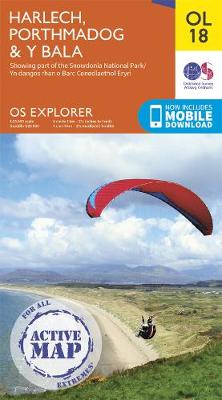
The OS Explorer Active range of OL maps now includes a digital version of the paper map, accessed through the OS smartphone app, OS Maps.