Category Archives: Shower Curtains
My Way Marco Polo Travel Journal (Jungle Cover)
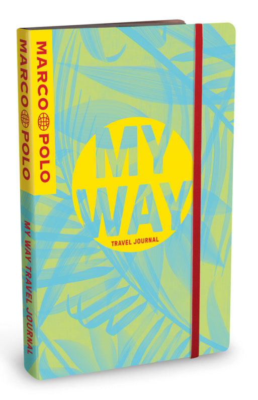
Every journey is a unique experience. Everyone travels differently. Some like it hot, others love the cold. Everyone remembers delicious food, special encounters, favourite places, and secret insider tips in their own way. And none of it should be lost. With Marco Polo MY WAY Travel Journals every journey becomes unforgettable’: Over 100 stickers to
Escapes – Winter
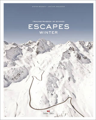
The French, Italian, and Austrian Alpes, the Pyrenees…Master photographer Stefan Bogner presents breath-taking photographs of mountain passes, taken during the winter season.
Curves: Portugal: Band 14
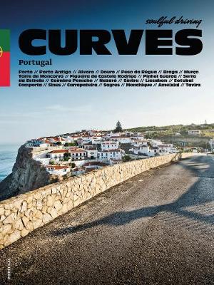
Did Curves join the surfer community? Or the community of Fado lovers? Will there be a huge soulful-driving mural in Lisbon, the vibrant capital of street art? Will we do a few rounds in Estoril, the country`s famous race track? Who knows? But what we do know: Curves No. 14 goes to Portugal!It goes without
Europe and the Sea

The history and culture of Europe has been decisively shaped by the exploration and use of the seas surrounding Europe. This catalogue book reflects the significance of the sea as a space of rule and trade for Europeans, as bridge and border, as resource and a site of desire. The book also reviews the changing
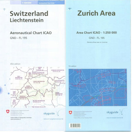
Geneva Hallwag 3in1 City Map
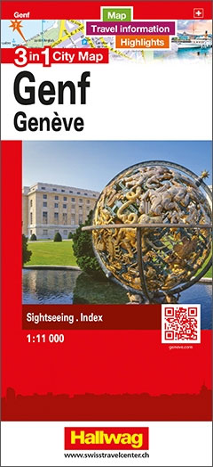
The double-sided city maps include all essential information:- detailed and clear representation of town centre- appealing 3D-display of selected typical buildings- brief description of 16 highlights in 4 languages complemented with attractive pictures- useful additional information for a successful trip (vicinity map, public transport, travel information, climate chart, index of important streets)- up-to-date amendments via
Lausanne Hallwag 3in1 City Map
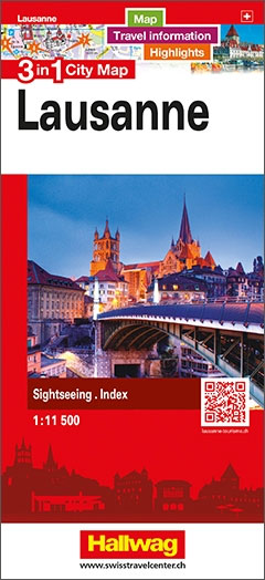
The double-sided city maps include all essential information:- detailed and clear representation of town centre- appealing 3D-display of selected typical buildings- brief description of 16 highlights in 4 languages complemented with attractive pictures- useful additional information for a successful trip (vicinity map, public transport, travel information, climate chart, index of important streets)- up-to-date amendments via
Lisbon Hallwag 3in1 City Map
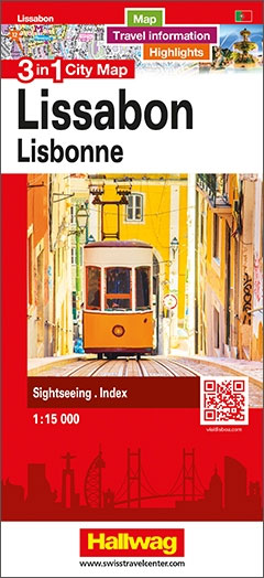
The double-sided city maps include all essential information:- detailed and clear representation of town centre- appealing 3D-display of selected typical buildings- brief description of 16 highlights in 4 languages complemented with attractive pictures- useful additional information for a successful trip (vicinity map, public transport, travel information, climate chart, index of important streets)- up-to-date amendments via
Lucerne Hallwag 3in1 City Map
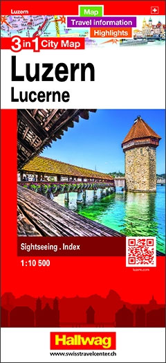
The double-sided city maps include all essential information:- detailed and clear representation of town centre- appealing 3D-display of selected typical buildings- brief description of 16 highlights in 4 languages complemented with attractive pictures- useful additional information for a successful trip (vicinity map, public transport, travel information, climate chart, index of important streets)- up-to-date amendments via
New York Hallwag 3in1 City Map
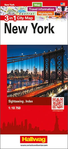
The double-sided city maps include all essential information:- detailed and clear representation of town centre- appealing 3D-display of selected typical buildings- brief description of 16 highlights in 4 languages complemented with attractive pictures- useful additional information for a successful trip (vicinity map, public transport, travel information, climate chart, index of important streets)- up-to-date amendments via
Ticino South – Lugano – Lake Maggiore K+F Hiking Map 29
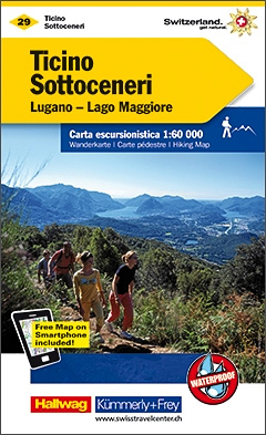
Ticino South – Lugano – Lake Maggiore area at 1:60,000 in Kรผmmerly + Frey’s hiking series of Switzerland, with most titles now printed on waterproof and tear-resistant plastic paper. The series offers a popular alternative to Swiss survey maps and cartography which many walkers find easier to follow.Coverage of the whole country is designed so
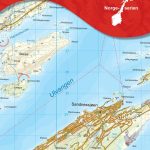
Nyon-Genรจve / La Dรดle K+F Hiking Map 38

These laminated hiking maps at a scale of 1:40 000 are the ideal basis for planning a hiking tour.The precise cartography shows hiking trails including classification. Information on accommodation and restaurants, bus routes with stops, mountain railways, regional parks, sights and much more are included on the map.Thanks to the quality of the tear-proof and
Lake Constance West – Thurgau K+F Hiking Map 02
These laminated hiking maps at a scale of 1:40 000 are the ideal basis for planning a hiking tour.The precise cartography shows hiking trails including classification. Information on accommodation and restaurants, bus routes with stops, mountain railways, regional parks, sights and much more are included on the map.Thanks to the quality of the tear-proof and
Grand-St-Bernard – Verbier K+F Hiking Map 48
These laminated hiking maps at a scale of 1:40 000 are the ideal basis for planning a hiking tour.The precise cartography shows hiking trails including classification. Information on accommodation and restaurants, bus routes with stops, mountain railways, regional parks, sights and much more are included on the map.Thanks to the quality of the tear-proof and
Lake Constance East K+F Hiking Map 03
These laminated hiking maps at a scale of 1:40 000 are the ideal basis for planning a hiking tour.The precise cartography shows hiking trails including classification. Information on accommodation and restaurants, bus routes with stops, mountain railways, regional parks, sights and much more are included on the map.Thanks to the quality of the tear-proof and
Europe K+F Political Map
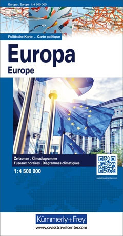
Europe’s network of roads, railways and ferry connections presented by Kรผmmerly + Frey on a wall map at 1:4,500,000, size 126 x 100cm (49.5″ x 39.5″ approx), in a political version with countries shown in pleasant pastel colours and the surrounding seas in light blue. Names of countries, cities and geographical features are in their
Jura – Ajoie K+F Hiking Map 04
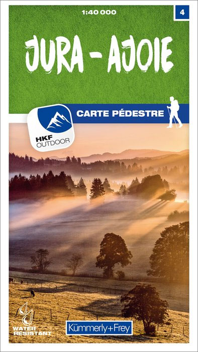
These laminated hiking maps at a scale of 1:40 000 are the ideal basis for planning a hiking tour.The precise cartography shows hiking trails including classification. Information on accommodation and restaurants, bus routes with stops, mountain railways, regional parks, sights and much more are included on the map.Thanks to the quality of the tear-proof and
Aargau West – Olten – Aarau K+F Hiking Map 06
These laminated hiking maps at a scale of 1:40 000 are the ideal basis for planning a hiking tour.The precise cartography shows hiking trails including classification. Information on accommodation and restaurants, bus routes with stops, mountain railways, regional parks, sights and much more are included on the map.Thanks to the quality of the tear-proof and
Zurich Unterland – Winterthur K+F Hiking Map 08
These laminated hiking maps at a scale of 1:40 000 are the ideal basis for planning a hiking tour.The precise cartography shows hiking trails including classification. Information on accommodation and restaurants, bus routes with stops, mountain railways, regional parks, sights and much more are included on the map.Thanks to the quality of the tear-proof and