Category Archives: Shower Curtains
NGA Chart 96000 – Vladivostok to Pladvostok to Poluostrov Kamchtka
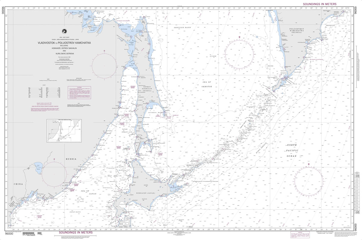
Produced by the US Government, National Geospatial-Intelligence Agency (NGA) charts provide information for the International Waters. They are printed on demand at our London shop and are supplied as flat charts.PLEASE NOTE: NGA charts are not updated often, therefore some may no longer be suitable for safe navigation and should be used for reference only.
Oxford Cartographers Peters Projection World Environmental 863 x 613 mm
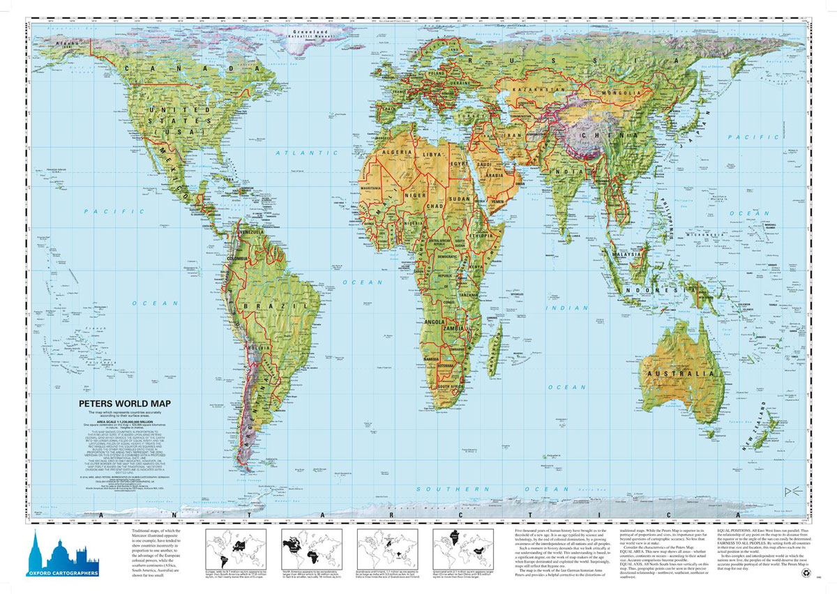
World map, with environmental colours (vegetation/desert/ice), on the Peters ProjectionMaps not only represent the world, they shape the way we see it. The revolutionary Peters Projection map presents countries in their true proportion to one another: it has been adopted by the UN, aid agencies, schools and businesses around the world.What is the Peters Map?The
Finland South
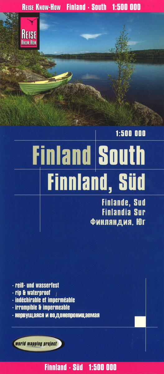
Reise Know-How maps of Finland South at 1:500,000 scale. The cardboard cover is detachable so that the card can easily be put into any pocket. A protective cover is not required. The cartographic representation focuses on the most important information for travelers and is particularly well readable. Instead of shading, coloured heights are used. –
Contemporary Concrete Buildings

Concrete? That characterless stuff of parking lots or Communist tower blocks, right? Well, yes. And no. Concrete is actually a name applied to a remarkably wide range of building substances, and, when properly handled, is one of the noble materials of contemporary architecture. A kind of “liquid stone” at the outset, it is malleable, durable,
Christmas Island Gift Wrapping Paper
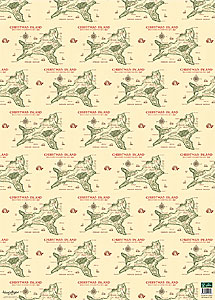
An imaginative and stylish alternative to traditional Christmas wrapping paper, or to gift wrapping for any occasion ‘“ a beautifully drawn, historical image of the Christmas Island. Christmas Island was discovered by Captain William Mynors of the Royal Mary, an English East India Company vessel, who named the island when he sailed past it on
Railway City Map Europe
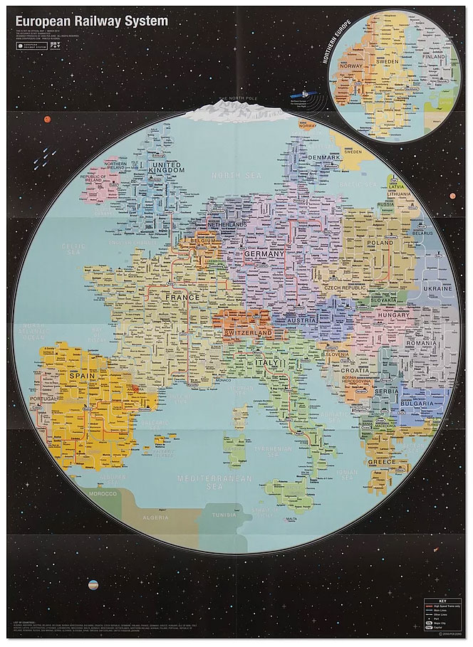
European Railway System presents the railway network of some 30 European countries designed in the image of the Earth seen from the space. This map will come in handy when travelling between cities and countries in Europe as it puts railway systems throughout the entire Europe in one view.List of countries covered:Albania, Andorra, Austria, Belarus,


