Category Archives: Shower Curtains

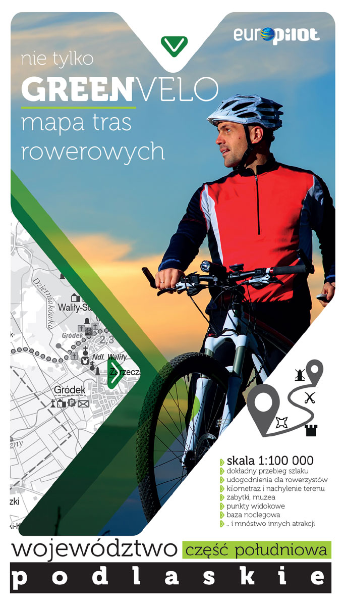
South Podlasie Cycling Map

A series of maps, following the trail of the most beautiful cycling routes across Poland at 1:100,000 scale, include: – the exact course of the trail – facilities for cyclists – mileage and slope of the area – sights, viewpoints, museums- accommodation – and lots of other attractions

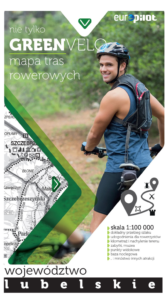
Lublin Province Cycling Map

A series of maps, following the trail of the most beautiful cycling routes across Poland at 1:100,000 scale, include: – the exact course of the trail – facilities for cyclists – mileage and slope of the area – sights, viewpoints, museums- accommodation – and lots of other attractions

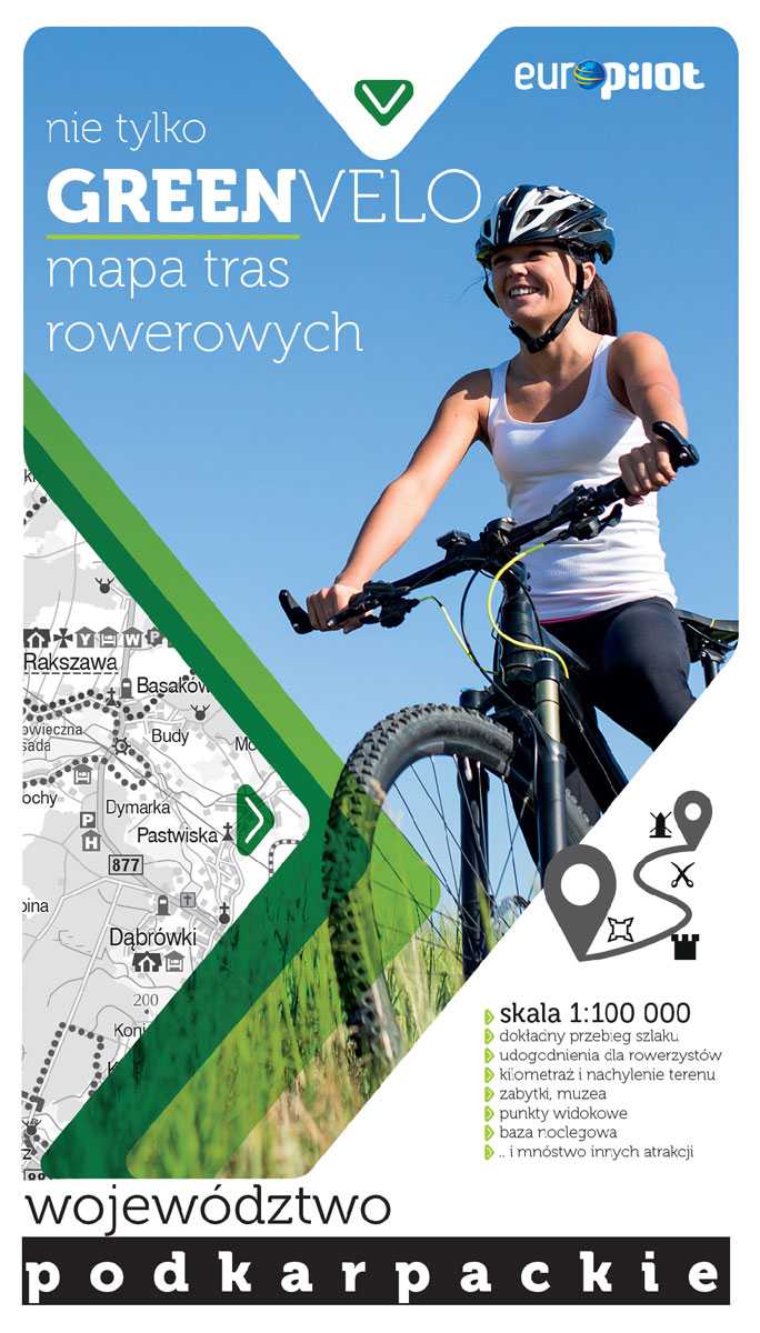
Podkarpackie Cycling Map

A series of maps, following the trail of the most beautiful cycling routes across Poland at 1:100,000 scale, include: – the exact course of the trail – facilities for cyclists – mileage and slope of the area – sights, viewpoints, museums- accommodation – and lots of other attractions

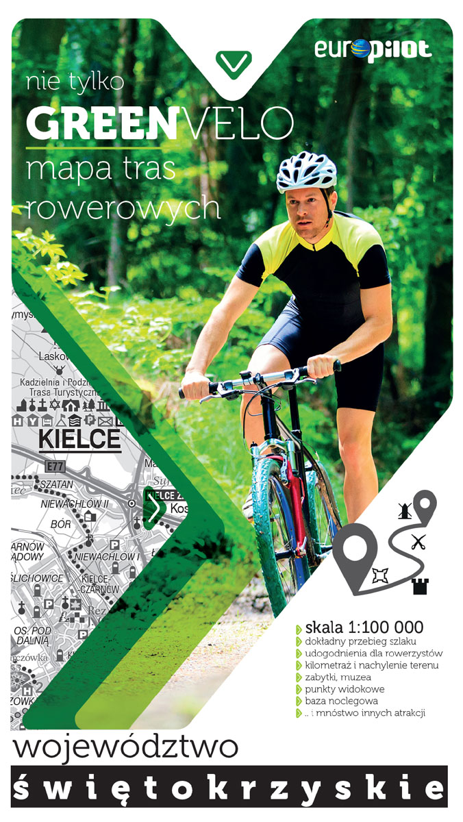
Swietokrzyskie Cycling Map

A series of maps, following the trail of the most beautiful cycling routes across Poland at 1:100,000 scale, include: – the exact course of the trail – facilities for cyclists – mileage and slope of the area – sights, viewpoints, museums- accommodation – and lots of other attractions

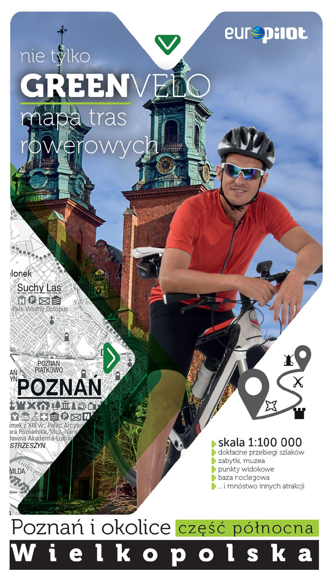
Poznan and Environs North Cycling Map

A series of maps, following the trail of the most beautiful cycling routes across Poland at 1:100,000 scale, include: – the exact course of the trail – facilities for cyclists – mileage and slope of the area – sights, viewpoints, museums- accommodation – and lots of other attractions

Poznan and Environs South Cycling Map

A series of maps, following the trail of the most beautiful cycling routes across Poland at 1:100,000 scale, include: – the exact course of the trail – facilities for cyclists – mileage and slope of the area – sights, viewpoints, museums- accommodation – and lots of other attractions

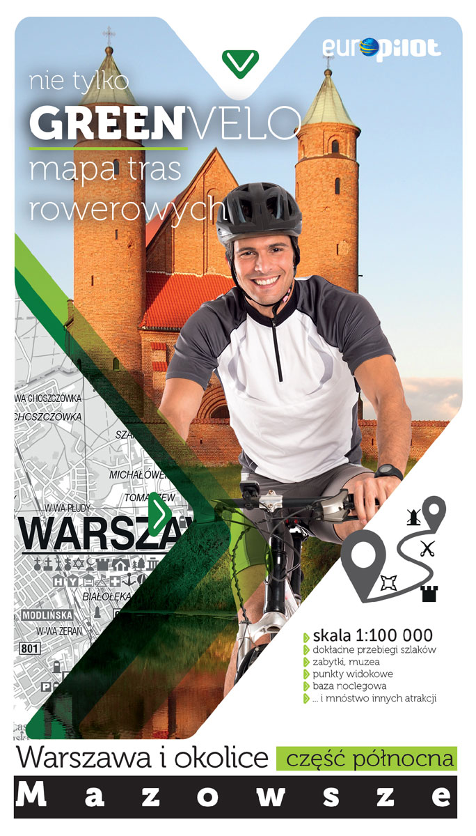
Warsaw and Environs North Cycling Map

A series of maps, following the trail of the most beautiful cycling routes at 1:100,000 scale, include: – the exact course of the trail – facilities for cyclists – mileage and slope of the area – sights, viewpoints, museums- accommodation – and lots of other attractions

Warsaw and Environs South Cycling Map

A series of maps, following the trail of the most beautiful cycling routes at 1:100,000 scale, include: – the exact course of the trail – facilities for cyclists – mileage and slope of the area – sights, viewpoints, museums- accommodation – and lots of other attractions

Posets – Perdiguero Editorial Alpina

Hiking map and guidebook (text in Spanish,French & English), centred on Posets in the Pyrenees at 1:25.000 scale.- Equidistance contours: 10 m distance; Master contours: at 50 m- Shaded relief- Compatible with GPS- Marked routes- Guidebook with information on hikes, potholing, gully descent, climbing, mountain biking

Uppsala Woods

“`I prefer a divorce to a funeral.` Realizing that my words, however harsh they may seem, conceal a declaration of love, perhaps the most sincere declaration of love I`ve ever made to her, she collapses on the sofa and bursts into tears.” This is the climax of Uppsala Woods, an amazing novel in which Alvaro

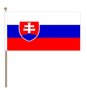
Slovakia Hand Flag

100% polyester, screen printed flag on a 30cm wooden pole with a white plastic ball cap.

NGA Chart 96000 – Vladivostok to Pladvostok to Poluostrov Kamchtka
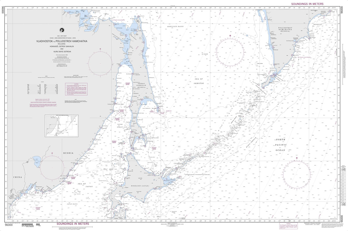
Produced by the US Government, National Geospatial-Intelligence Agency (NGA) charts provide information for the International Waters. They are printed on demand at our London shop and are supplied as flat charts.PLEASE NOTE: NGA charts are not updated often, therefore some may no longer be suitable for safe navigation and should be used for reference only.

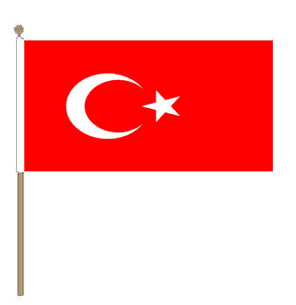
Turkey Hand Flag

100% polyester, screen printed flag on a 30cm wooden pole with a white plastic ball cap.

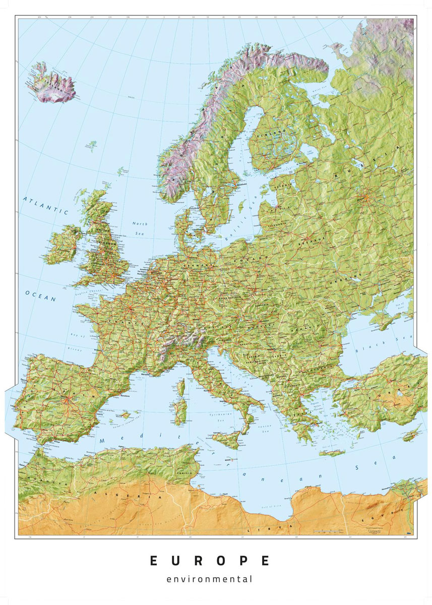
Oxford Cartographers Europe Environmental

Oxford Cartographers Peters Projection World Environmental 863 x 613 mm
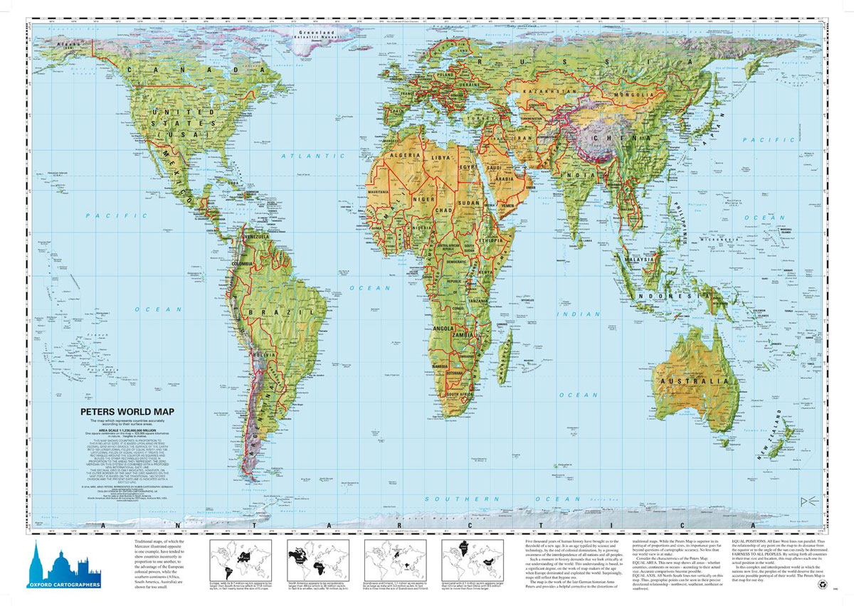
World map, with environmental colours (vegetation/desert/ice), on the Peters ProjectionMaps not only represent the world, they shape the way we see it. The revolutionary Peters Projection map presents countries in their true proportion to one another: it has been adopted by the UN, aid agencies, schools and businesses around the world.What is the Peters Map?The

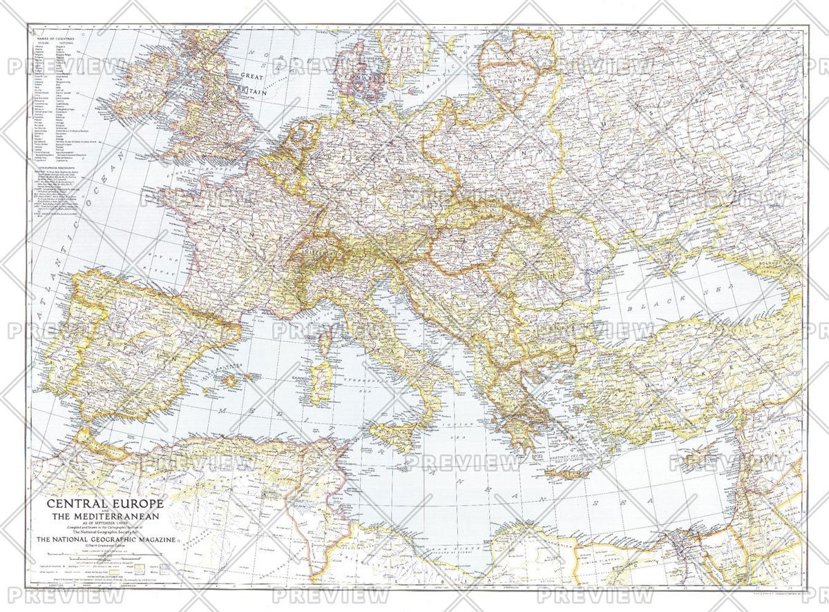
National Geographic Central Europe and the Mediterranean – Published 1939

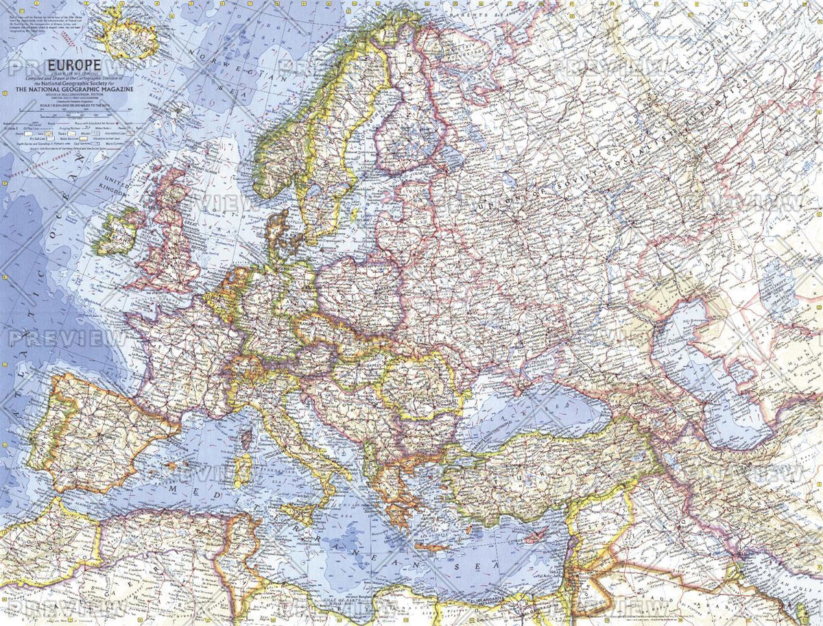
National Geographic Europe – Published 1962

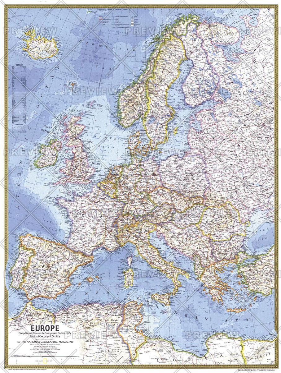
National Geographic Europe – Published 1977

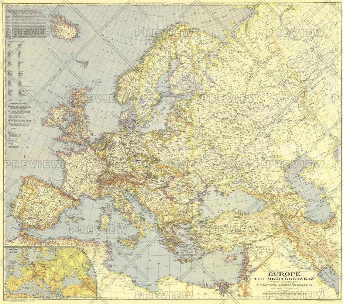
National Geographic Europe and the Mediterranean – Published 1938

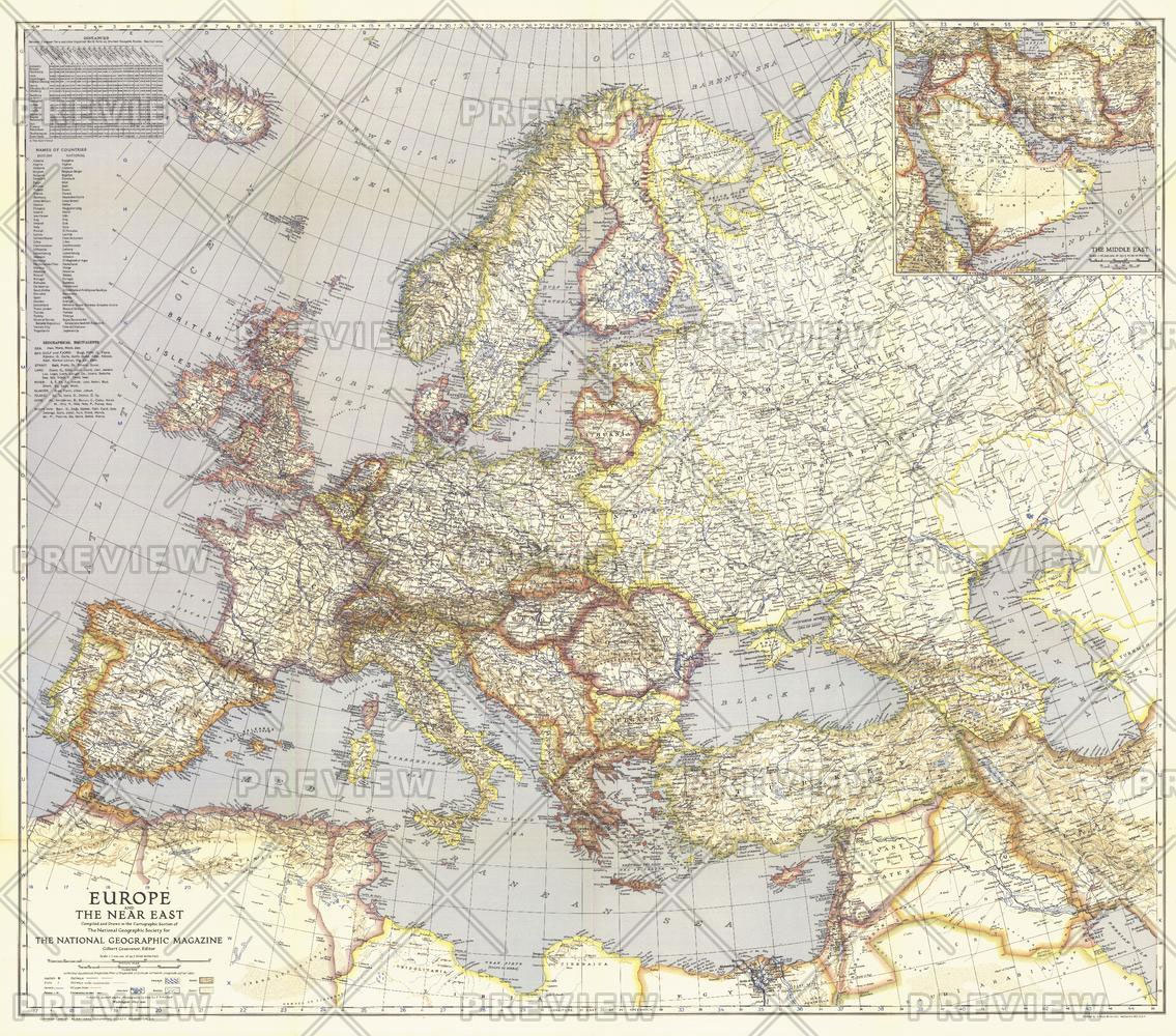
National Geographic Europe and the Near East – Published 1940