Category Archives: Non-Fiction & Reference
Admiralty Chart 2742 – Ceuta
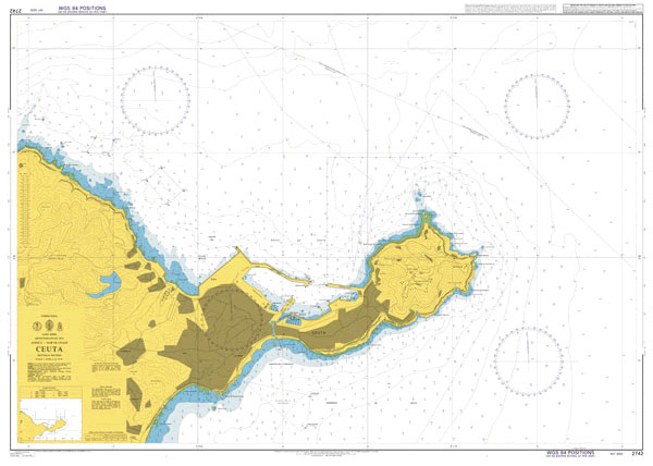
Admiralty standard nautical charts comply with Safety of Life at Sea (SOLAS) regulations and are ideal for professional, commercial and recreational use. Charts within the series consist of a range of scales, useful for passage planning, ocean crossings, coastal navigation and entering port.Standard Admiralty charts are folded to fit in a chart table drawer. If
Admiralty Chart 4621 – Mackay to Solomon Islands
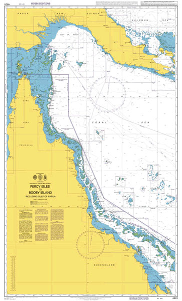
Admiralty standard nautical charts comply with Safety of Life at Sea (SOLAS) regulations and are ideal for professional, commercial and recreational use. Charts within the series consist of a range of scales, useful for passage planning, ocean crossings, coastal navigation and entering port.Standard Admiralty charts are folded to fit in a chart table drawer. If
Admiralty Chart 4634 – Frederick Reefs to Solomon Islands
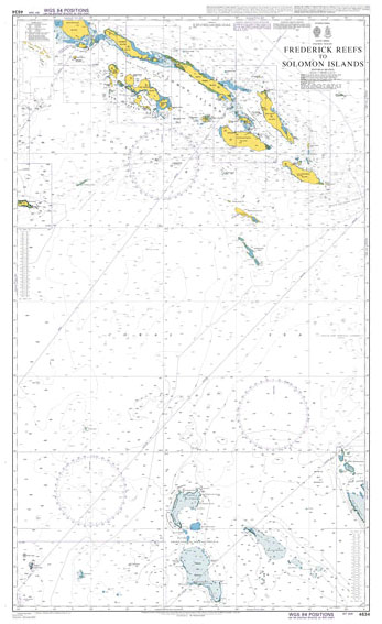
Admiralty standard nautical charts comply with Safety of Life at Sea (SOLAS) regulations and are ideal for professional, commercial and recreational use. Charts within the series consist of a range of scales, useful for passage planning, ocean crossings, coastal navigation and entering port.Standard Admiralty charts are folded to fit in a chart table drawer. If
Admiralty Chart 4002 – A Planning Chart for the Pacific Ocean
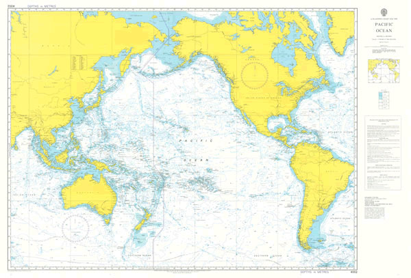
Admiralty standard nautical charts comply with Safety of Life at Sea (SOLAS) regulations and are ideal for professional, commercial and recreational use. Charts within the series consist of a range of scales, useful for passage planning, ocean crossings, coastal navigation and entering port.Standard Admiralty charts are folded to fit in a chart table drawer. If
Admiralty Chart 1595 – Ilhas do Principe de Sao Tome and Isla Pagalu
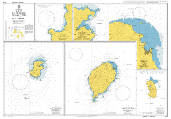
Admiralty standard nautical charts comply with Safety of Life at Sea (SOLAS) regulations and are ideal for professional, commercial and recreational use. Charts within the series consist of a range of scales, useful for passage planning, ocean crossings, coastal navigation and entering port.Standard Admiralty charts are folded to fit in a chart table drawer. If
Admiralty Chart 190 – Montrose to Fife Ness including the Isle of May
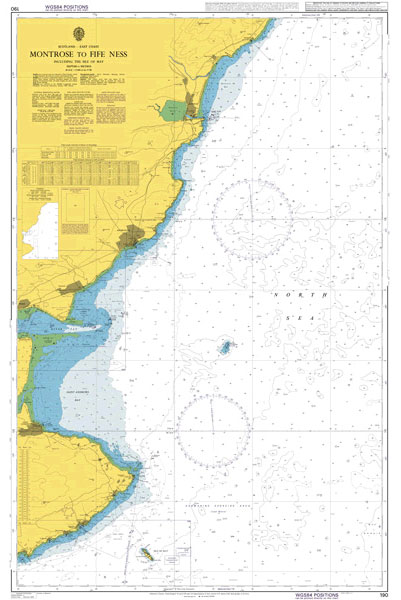
NEW EDITION OUT ON 03/09/2020Admiralty standard nautical charts comply with Safety of Life at Sea (SOLAS) regulations and are ideal for professional, commercial and recreational use. Charts within the series consist of a range of scales, useful for passage planning, ocean crossings, coastal navigation and entering port.Standard Admiralty charts are folded to fit in a
Admiralty Routeing Chart 5127(5) – N Pacific – May
Essential for use in passage planning for ocean voyages, Routeing Charts include routes and distances between major ports, ocean currents, ice limits, load lines and wind roses. They also contain expected meteorological and oceanographic conditions for each month of the year.Individual chart scales of 1:5,000,000, 1:10,000,000 and 1:20,000,000 assist bridge crews in high-level route planning.Information
Admiralty Chart 885 – Suwon Dan to Musu Dan inc Hungnam
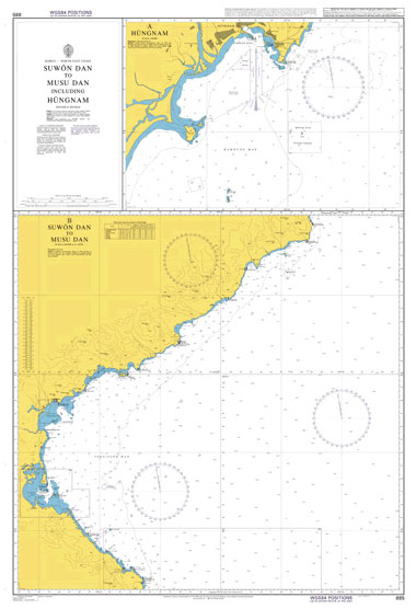
Admiralty standard nautical charts comply with Safety of Life at Sea (SOLAS) regulations and are ideal for professional, commercial and recreational use. Charts within the series consist of a range of scales, useful for passage planning, ocean crossings, coastal navigation and entering port.Standard Admiralty charts are folded to fit in a chart table drawer. If
Admiralty Routeing Chart 5127(6) – N Pacific – June
Essential for use in passage planning for ocean voyages, Routeing Charts include routes and distances between major ports, ocean currents, ice limits, load lines and wind roses. They also contain expected meteorological and oceanographic conditions for each month of the year.Individual chart scales of 1:5,000,000, 1:10,000,000 and 1:20,000,000 assist bridge crews in high-level route planning.Information
Admiralty Chart 2349 – Baie de Douarnenez
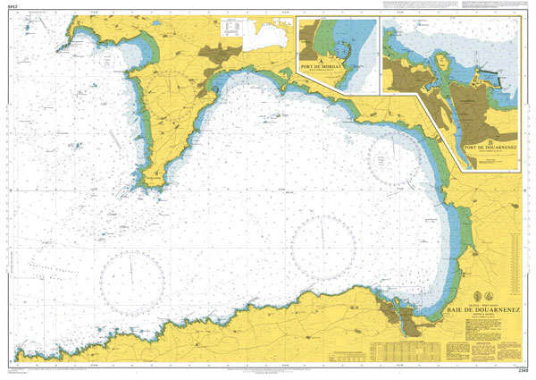
Admiralty standard nautical charts comply with Safety of Life at Sea (SOLAS) regulations and are ideal for professional, commercial and recreational use. Charts within the series consist of a range of scales, useful for passage planning, ocean crossings, coastal navigation and entering port.Standard Admiralty charts are folded to fit in a chart table drawer. If
Admiralty Routeing Chart 5127(7) – N Pacific – July
Essential for use in passage planning for ocean voyages, Routeing Charts include routes and distances between major ports, ocean currents, ice limits, load lines and wind roses. They also contain expected meteorological and oceanographic conditions for each month of the year.Individual chart scales of 1:5,000,000, 1:10,000,000 and 1:20,000,000 assist bridge crews in high-level route planning.Information
Admiralty Chart 2781 – Bengkulu to Selat Sunda
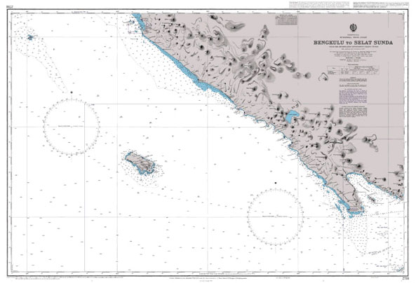
Admiralty standard nautical charts comply with Safety of Life at Sea (SOLAS) regulations and are ideal for professional, commercial and recreational use. Charts within the series consist of a range of scales, useful for passage planning, ocean crossings, coastal navigation and entering port.Standard Admiralty charts are folded to fit in a chart table drawer. If
Admiralty Routeing Chart 5127(8) – N Pacific – August
Essential for use in passage planning for ocean voyages, Routeing Charts include routes and distances between major ports, ocean currents, ice limits, load lines and wind roses. They also contain expected meteorological and oceanographic conditions for each month of the year.Individual chart scales of 1:5,000,000, 1:10,000,000 and 1:20,000,000 assist bridge crews in high-level route planning.Information
Admiralty Chart 2965 – Ports and Approaches in Southern Sumatera
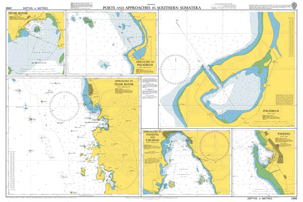
Admiralty standard nautical charts comply with Safety of Life at Sea (SOLAS) regulations and are ideal for professional, commercial and recreational use. Charts within the series consist of a range of scales, useful for passage planning, ocean crossings, coastal navigation and entering port.Standard Admiralty charts are folded to fit in a chart table drawer. If
Admiralty Routeing Chart 5128(5) – S Pacific – May
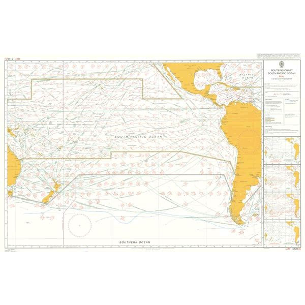
Essential for use in passage planning for ocean voyages, Routeing Charts include routes and distances between major ports, ocean currents, ice limits, load lines and wind roses. They also contain expected meteorological and oceanographic conditions for each month of the year.Individual chart scales of 1:5,000,000, 1:10,000,000 and 1:20,000,000 assist bridge crews in high-level route planning.Information
Admiralty Chart 2917 – Plans in North West Sumatera
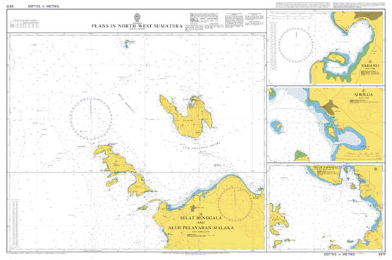
Admiralty standard nautical charts comply with Safety of Life at Sea (SOLAS) regulations and are ideal for professional, commercial and recreational use. Charts within the series consist of a range of scales, useful for passage planning, ocean crossings, coastal navigation and entering port.Standard Admiralty charts are folded to fit in a chart table drawer. If
Admiralty Routeing Chart 5125(4) – S Atlantic – April
NEW EDITION OUT ON 25/02/2021Essential for use in passage planning for ocean voyages, Routeing Charts include routes and distances between major ports, ocean currents, ice limits, load lines and wind roses. They also contain expected meteorological and oceanographic conditions for each month of the year.Individual chart scales of 1:5,000,000, 1:10,000,000 and 1:20,000,000 assist bridge crews
Admiralty Routeing Chart 5125(5) – S Atlantic – May
NEW EDITION OUT ON 25/02/2021Essential for use in passage planning for ocean voyages, Routeing Charts include routes and distances between major ports, ocean currents, ice limits, load lines and wind roses. They also contain expected meteorological and oceanographic conditions for each month of the year.Individual chart scales of 1:5,000,000, 1:10,000,000 and 1:20,000,000 assist bridge crews
Admiralty Chart 2057 – Westport Bay and Approaches
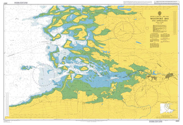
Admiralty standard nautical charts comply with Safety of Life at Sea (SOLAS) regulations and are ideal for professional, commercial and recreational use. Charts within the series consist of a range of scales, useful for passage planning, ocean crossings, coastal navigation and entering port.Standard Admiralty charts are folded to fit in a chart table drawer. If
Admiralty Chart 1046 – Outer Approaches to Ports from Krung Thep to Map Ta Phut
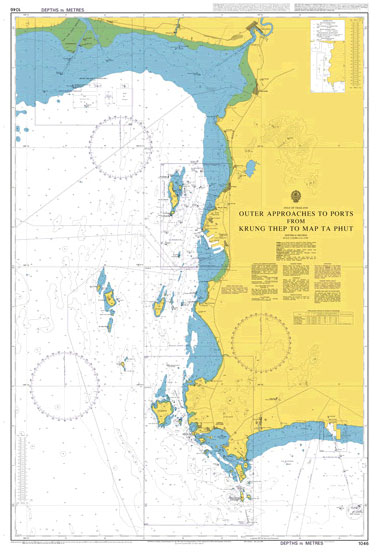
NEW EDITION OUT ON 09/07/2020Admiralty standard nautical charts comply with Safety of Life at Sea (SOLAS) regulations and are ideal for professional, commercial and recreational use. Charts within the series consist of a range of scales, useful for passage planning, ocean crossings, coastal navigation and entering port.Standard Admiralty charts are folded to fit in a


