Category Archives: Non-Fiction & Reference
NP208 Tide Tables – South East Atlantic Ocean 2022

Worldwide tidal height information, revised annually for greater accuracy, makes it easier to plan your departaure and arrival times.The tables include daily high and low-water times and heights for standard ports, times and height differences for secondary ports and harmonic constants for all ports where they are known.
NP71 West Indies Pilot Vol 2
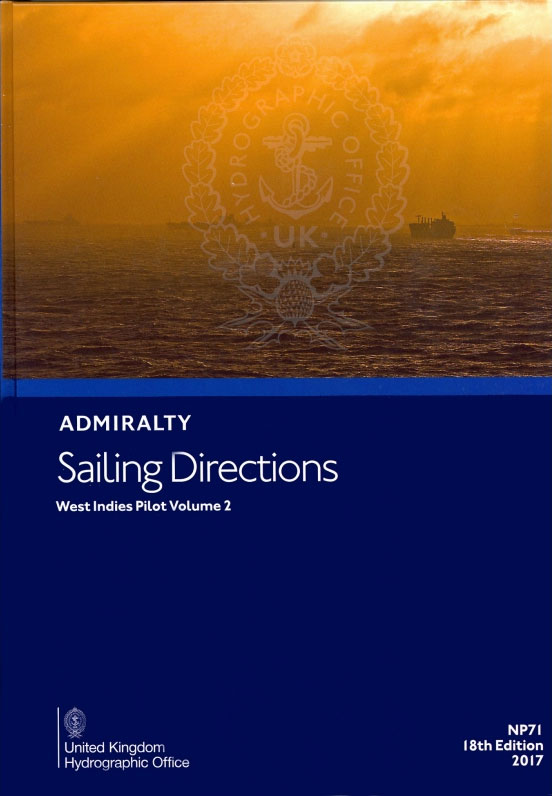
It covers the Mona Passage, Puerto Rico and the Virgin Islands, Leeward and Windward Islands from Anguilla to Grenada.This publication is in continuous revision.Cubre el Paso de Mona, Puerto Rico y las Islas Vรญrgenes, Sotavento y las Islas de Barlovento desde Anguila a Granada.Esta publicaciรณn estรก en continua revisiรณn.
NP133A Paper Chart Maintenance Record
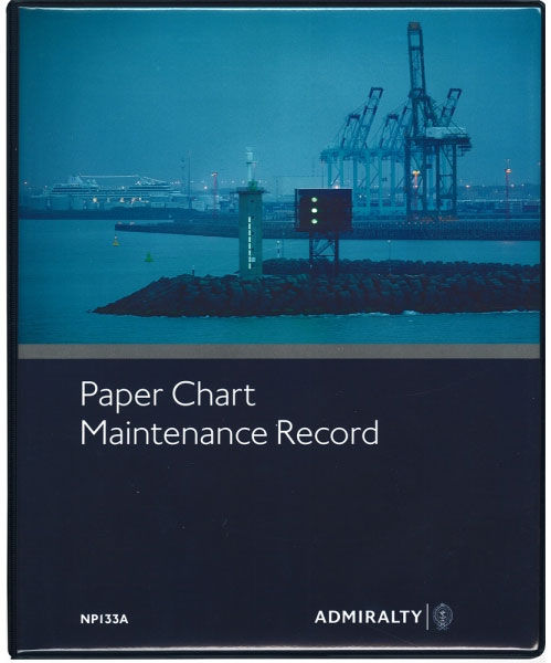
The purpose of the Paper Chart Maintenance Record is to provide the mariner with an easy method for maintaining a record of all Admiralty Notices to Mariners (NMs) and updates affecting charts held.It also provides an authoritative document which helps to assist maritime authorities in the auditing of the mariner`s chart outfit. It is vital
NP133C ENC Maintenance Record
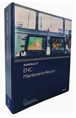
The ADMIRALTY ENC Maintenance Record aids inspections, assists SOLAS chapter V carriage compliance and streamlines information management. It is similar to the Paper Chart Maintenance Record (NP133A). NP133C – Admiralty Enc Maintenance Record is laid out in nine logical sections, with clear templates for bridge crews to utilize in order to make administrative processes faster
NP24 Black Sea and Sea of Azov Pilot SUPERCEDED
ADMIRALTY Sailing Directions (Pilots) provide essential information to support port entry and coastal navigation for all classes of ships at sea. Split across 75 volumes, coverage includes the world’s main commercial shipping routes and ports.Each volume of Sailing Directions offers:Information on navigational hazards, buoyage, pilotage, regulations, general notes on countries, port facilities, seasonal currents, ice
NP45 Mediterranean Pilot Vol 1 SUPERCEDED
ADMIRALTY Sailing Directions (Pilots) provide essential information to support port entry and coastal navigation for all classes of ships at sea. Split across 75 volumes, coverage includes the world’s main commercial shipping routes and ports.Each volume of Sailing Directions offers:Information on navigational hazards, buoyage, pilotage, regulations, general notes on countries, port facilities, seasonal currents, ice
NP63 Persian Gulf Pilot SUPERCEDED

It covers the Persian Gulf and its approaches from Ra`s Al Junayz in the southwest to Gwatar Bay in the east.Cubre el Golfo Pรฉrsico y sus aproximaciones desde Ra`s Al Junayz en el suroeste hasta la Bahรญa de Gwatar en el este.
NP68 East Coast of the United States Pilot Vol 1 SUPERCEDED
It covers the east coast of the United States from Great Wass Island to Barnegat Inlet. A new or revised edition is due for publication within the coming year.Cubre la costa este de los Estados Unidos desde Great Wass Island hasta Barnegat Inlet. Se debe publicar una ediciรณn nueva o revisada dentro del prรณximo aรฑo.
NP5 South America Pilot Vol. 1
This edition ofย South America Pilot Vol. I (NP 5)ย in the British Admiralty Sailing Directions series. It covers the North-eastern and Eastern coasts of South American from Cabo Orange to Cabo Tres Puntas.Esta ediciรณn de Sudamรฉrica Pilot Vol. I (NP 5) en la serie British Admiralty Sailing Directions. Cubre las costas nororiental y oriental de Amรฉrica
NP31 China Sea Pilot Vol 2

It covers the north-western coast of Borneo, Philippine Islands from Cape Buliluyan in Palawan to Cape Bojeador in Luzon, and the islands and dangers in the southern and eastern parts of South China Sea.Cubre la costa noroeste de Borneo, las islas Philipinas desde el cabo Buliluyan en Palawan hasta el cabo Bojeador en Luzรณn, y
NP201B Tide Tables – United Kingdom and Ireland 2022
AVAILABLE FROM 03/06/2021Admiralty Tide Tables – United Kingdom and IrelandExcluding Isles of Scilly, English Channel to River Humber,Channel Islands and European Channel Ports.Worldwide tidal height information, revised annually for greater accuracy, makes it easier to plan your departaure and arrival times.The tables include daily high and low-water times and heights for standard ports, times and
NP203 Tide Tables – Indian Ocean 2019
2020 EDITION OUT ON 18/07/2019Worldwide tidal height information, revised annually for greater accuracy, makes it easier to plan your departaure and arrival times.The tables include daily high and low-water times and heights for standard ports, times and height differences for secondary ports and harmonic constants for all ports where they are known.
NP202 Tide Tables – North Atlantic Ocean and Arctic Regions 2022
2022 EDITION WILL BE PUBLISHED ON 17/06/2021Excludes United Kingdom which is covered by NP201A and NP201B Tide Tables.Worldwide tidal height information, revised annually for greater accuracy, makes it easier to plan your departaure and arrival times.The tables include daily high and low-water times and heights for standard ports, times and height differences for secondary ports
NP204 Tide Tables – South Pacific Ocean 2019
NEW (2020) EDITION OUT 15/08/2019Worldwide tidal height information, revised annually for greater accuracy, makes it easier to plan your departaure and arrival times.The tables include daily high and low-water times and heights for standard ports, times and height differences for secondary ports and harmonic constants for all ports where they are known.
NP203 Tide Tables – Indian Ocean 2022
Worldwide tidal height information, revised annually for greater accuracy, makes it easier to plan your departaure and arrival times.The tables include daily high and low-water times and heights for standard ports, times and height differences for secondary ports and harmonic constants for all ports where they are known.
NP205 Tide Tables – South China Sea and Indonesia 2019
Worldwide tidal height information, revised annually for greater accuracy, makes it easier to plan your departaure and arrival times.The tables include daily high and low-water times and heights for standard ports, times and height differences for secondary ports and harmonic constants for all ports where they are known.This area was previously included in NP203.
NP204 Tide Tables – South Pacific Ocean 2022
Worldwide tidal height information, revised annually for greater accuracy, makes it easier to plan your departaure and arrival times.The tables include daily high and low-water times and heights for standard ports, times and height differences for secondary ports and harmonic constants for all ports where they are known.
NP207 Tide Tables – SW Atlantic Ocean and South America 2019
NEW EDITION OUT 14/11/2019Worldwide tidal height information, revised annually for greater accuracy, makes it easier to plan your departaure and arrival times.The tables include daily high and low-water times and heights for standard ports, times and height differences for secondary ports and harmonic constants for all ports where they are known.
NP205 Tide Tables – South China Sea and Indonesia 2022
Worldwide tidal height information, revised annually for greater accuracy, makes it easier to plan your departaure and arrival times.The tables include daily high and low-water times and heights for standard ports, times and height differences for secondary ports and harmonic constants for all ports where they are known.This area was previously included in NP203.
NP208 Tide Tables – South East Atlantic Ocean 2019
Worldwide tidal height information, revised annually for greater accuracy, makes it easier to plan your departaure and arrival times.The tables include daily high and low-water times and heights for standard ports, times and height differences for secondary ports and harmonic constants for all ports where they are known.