Category Archives: Non-Fiction & Reference
Admiralty Chart 3283 – Shetland Islands South Sheet
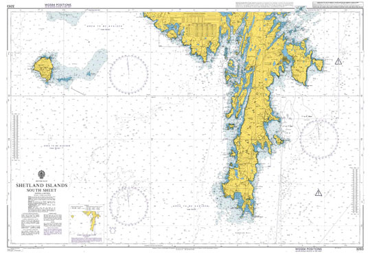
NEW EDITION OUT ON 19/11/2020Admiralty standard nautical charts comply with Safety of Life at Sea (SOLAS) regulations and are ideal for professional, commercial and recreational use. Charts within the series consist of a range of scales, useful for passage planning, ocean crossings, coastal navigation and entering port.Standard Admiralty charts are folded to fit in a
Admiralty Chart 3295 – Harbours in the Shetland Islands

Admiralty standard nautical charts comply with Safety of Life at Sea (SOLAS) regulations and are ideal for professional, commercial and recreational use. Charts within the series consist of a range of scales, useful for passage planning, ocean crossings, coastal navigation and entering port.Standard Admiralty charts are folded to fit in a chart table drawer. If
Admiralty Chart 258 – Ports and Anchorages on the South Coast of Jamaica
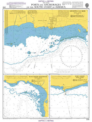
Admiralty standard nautical charts comply with Safety of Life at Sea (SOLAS) regulations and are ideal for professional, commercial and recreational use. Charts within the series consist of a range of scales, useful for passage planning, ocean crossings, coastal navigation and entering port.Standard Admiralty charts are folded to fit in a chart table drawer. If
Admiralty Chart 2040 – Baltic Sea, Stilo to Klaipeda including Gulf of Gdansk

NEW EDITION OUT ON 15/04/2021Admiralty standard nautical charts comply with Safety of Life at Sea (SOLAS) regulations and are ideal for professional, commercial and recreational use. Charts within the series consist of a range of scales, useful for passage planning, ocean crossings, coastal navigation and entering port. Standard Admiralty charts are folded to fit in
Admiralty Chart 2364 – Sankt Peterburg

Admiralty standard nautical charts comply with Safety of Life at Sea (SOLAS) regulations and are ideal for professional, commercial and recreational use. Charts within the series consist of a range of scales, useful for passage planning, ocean crossings, coastal navigation and entering port.Standard Admiralty charts are folded to fit in a chart table drawer. If
Admiralty Chart 2450 – Anvil Point to Beachy Head
NEW EDITION OUT ON 01/04/2021Admiralty standard nautical charts comply with Safety of Life at Sea (SOLAS) regulations and are ideal for professional, commercial and recreational use. Charts within the series consist of a range of scales, useful for passage planning, ocean crossings, coastal navigation and entering port.Standard Admiralty charts are folded to fit in a
Admiralty Chart 126 – North Sea, Netherlands, Approaches to Den Helder
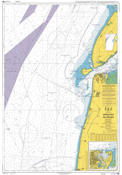
Admiralty standard nautical charts comply with Safety of Life at Sea (SOLAS) regulations and are ideal for professional, commercial and recreational use. Charts within the series consist of a range of scales, useful for passage planning, ocean crossings, coastal navigation and entering port.Standard Admiralty charts are folded to fit in a chart table drawer. If
Admiralty Chart 2044 – Shoreham Harbour and Approaches
NEW EDITION OUT ON 08/10/2020Admiralty standard nautical charts comply with Safety of Life at Sea (SOLAS) regulations and are ideal for professional, commercial and recreational use. Charts within the series consist of a range of scales, useful for passage planning, ocean crossings, coastal navigation and entering port.Standard Admiralty charts are folded to fit in a
Admiralty Chart 721 – Southern Approaches to the Seychelles Group
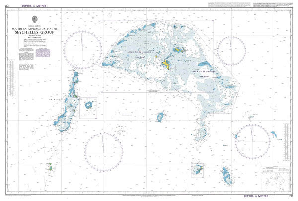
Admiralty standard nautical charts comply with Safety of Life at Sea (SOLAS) regulations and are ideal for professional, commercial and recreational use. Charts within the series consist of a range of scales, useful for passage planning, ocean crossings, coastal navigation and entering port.Standard Admiralty charts are folded to fit in a chart table drawer. If
Admiralty Chart 2566 – Tees and Hartlepool Bays

Plans included in this chart:Tees Bay 1:20,000Continuation of River Tees 1:20,000Hartlepool Bay 1:10,000Admiralty standard nautical charts comply with Safety of Life at Sea (SOLAS) regulations and are ideal for professional, commercial and recreational use. Charts within the series consist of a range of scales, useful for passage planning, ocean crossings, coastal navigation and entering port.Standard
Admiralty Chart 3780 – Outer Approaches to Ar Ruways and Jabal Az Zannah
Admiralty standard nautical charts comply with Safety of Life at Sea (SOLAS) regulations and are ideal for professional, commercial and recreational use. Charts within the series consist of a range of scales, useful for passage planning, ocean crossings, coastal navigation and entering port.Standard Admiralty charts are folded to fit in a chart table drawer. If
Admiralty Chart 2889 – Dubai to Jabal az Zannah and Jazirat Das
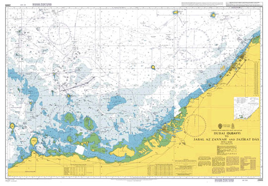
Admiralty standard nautical charts comply with Safety of Life at Sea (SOLAS) regulations and are ideal for professional, commercial and recreational use. Charts within the series consist of a range of scales, useful for passage planning, ocean crossings, coastal navigation and entering port.Standard Admiralty charts are folded to fit in a chart table drawer. If
Admiralty Chart 3779 – UAE, Approaches to Ar Ruways and Jabal Az Zannah

Admiralty standard nautical charts comply with Safety of Life at Sea (SOLAS) regulations and are ideal for professional, commercial and recreational use. Charts within the series consist of a range of scales, useful for passage planning, ocean crossings, coastal navigation and entering port.Standard Admiralty charts are folded to fit in a chart table drawer. If
Admiralty Chart 220 – Otok Vis to Otok Susak and S. Benedetto del Tronto to Ravenna
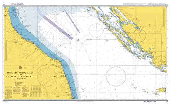
NEW EDITION OUT ON 12/03/2020Admiralty standard nautical charts comply with Safety of Life at Sea (SOLAS) regulations and are ideal for professional, commercial and recreational use. Charts within the series consist of a range of scales, useful for passage planning, ocean crossings, coastal navigation and entering port.Standard Admiralty charts are folded to fit in a
Admiralty Chart 223 – Dunrobin Point to Buckie
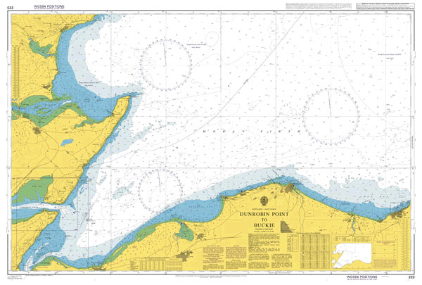
Admiralty standard nautical charts comply with Safety of Life at Sea (SOLAS) regulations and are ideal for professional, commercial and recreational use. Charts within the series consist of a range of scales, useful for passage planning, ocean crossings, coastal navigation and entering port.Standard Admiralty charts are folded to fit in a chart table drawer. If
Admiralty Chart 1861 – Gran Canaria to El Hierro
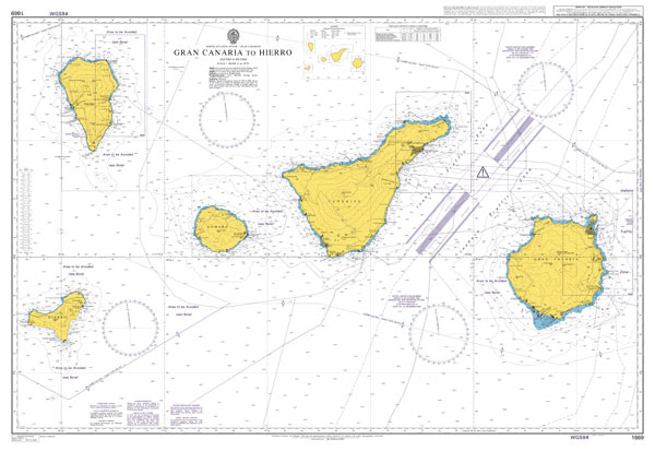
Admiralty standard nautical charts comply with Safety of Life at Sea (SOLAS) regulations and are ideal for professional, commercial and recreational use. Charts within the series consist of a range of scales, useful for passage planning, ocean crossings, coastal navigation and entering port.Standard Admiralty charts are folded to fit in a chart table drawer. If
Admiralty Chart 4209 – Freetown to Luanda
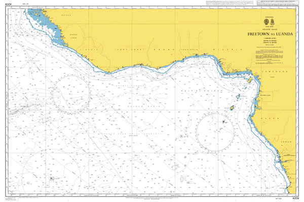
NEW EDITION OUT ON 08/10/2020Admiralty standard nautical charts comply with Safety of Life at Sea (SOLAS) regulations and are ideal for professional, commercial and recreational use. Charts within the series consist of a range of scales, useful for passage planning, ocean crossings, coastal navigation and entering port.Standard Admiralty charts are folded to fit in a
Admiralty Chart 3281 – Shetland Islands North-West Sheet
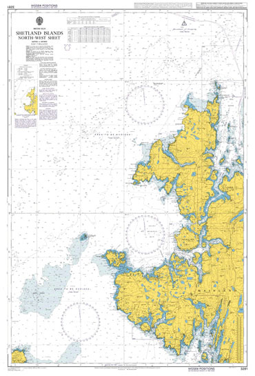
NEW EDITION OUT ON 26/11/2020Admiralty standard nautical charts comply with Safety of Life at Sea (SOLAS) regulations and are ideal for professional, commercial and recreational use. Charts within the series consist of a range of scales, useful for passage planning, ocean crossings, coastal navigation and entering port.Standard Admiralty charts are folded to fit in a
Admiralty Chart 3282 – Shetland Islands North-East Sheet
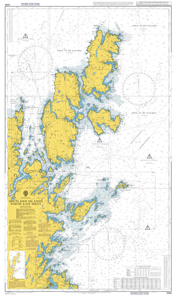
Admiralty standard nautical charts comply with Safety of Life at Sea (SOLAS) regulations and are ideal for professional, commercial and recreational use. Charts within the series consist of a range of scales, useful for passage planning, ocean crossings, coastal navigation and entering port.Standard Admiralty charts are folded to fit in a chart table drawer. If


