Category Archives: Non-Fiction & Reference
2140 Rijn and Maas Delta Chart Atlas – 2019 edition
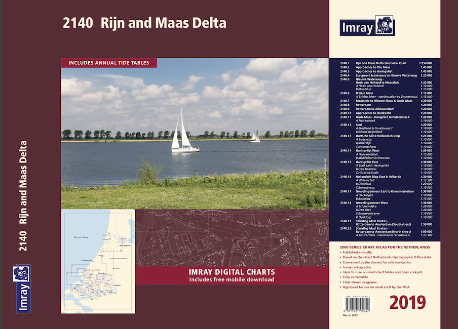
Part of Imray’s popular small format chart coverage for the Netherlands, this atlas is a convenient A2 format, wirobound along one edge. Includes extensive coverage of Nieuwe Waterweg, Nieuwe- and Oude Maas, Brielse Meer, Spui, Noord, Dortsche Kil, Hollandsch Diep, Haringvliet, Volkerak and Grevelingenmeer. Also included are approach charts to the Maas and Haringvliet entrances,
2150 Waddenzee – Den Helder to Norderney Chart Atlas – 2019 edition
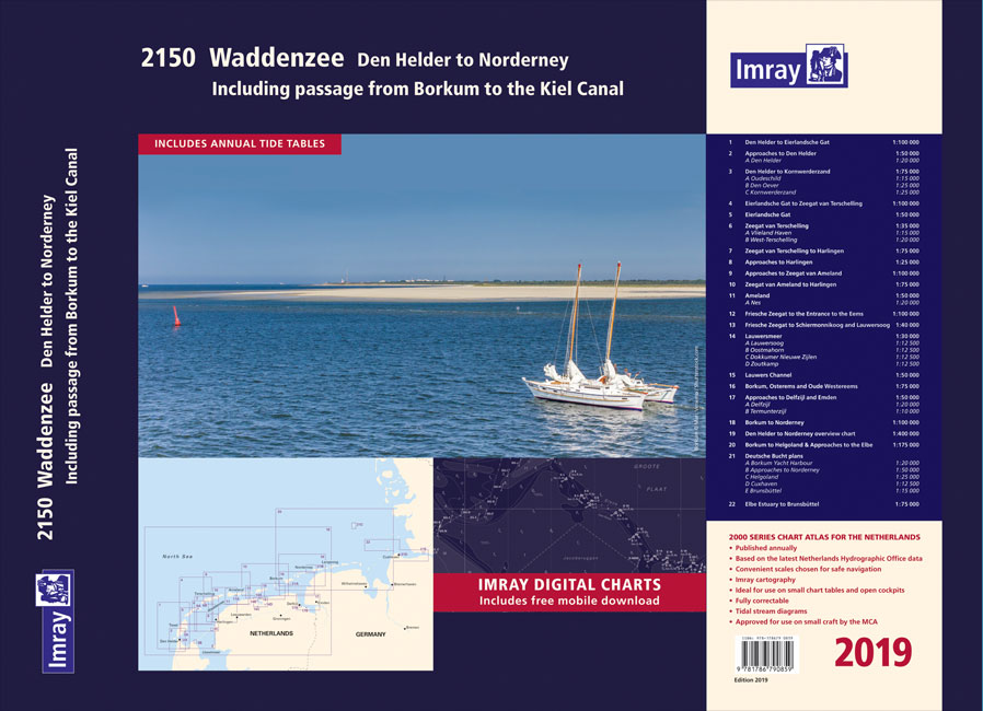
Part of Imray’s popular small format chart coverage for the Netherlands, this atlas is a convenient A2 format, wirobound along one edge. In addition to detailed coverage of the area from Den Helder to Nordeney, the atlas has been extended to include passage to the Kiel Canal. A new plan of Borkum Yacht Harbour, and
2160 IJsselmeer Chart Atlas – 2019 edition
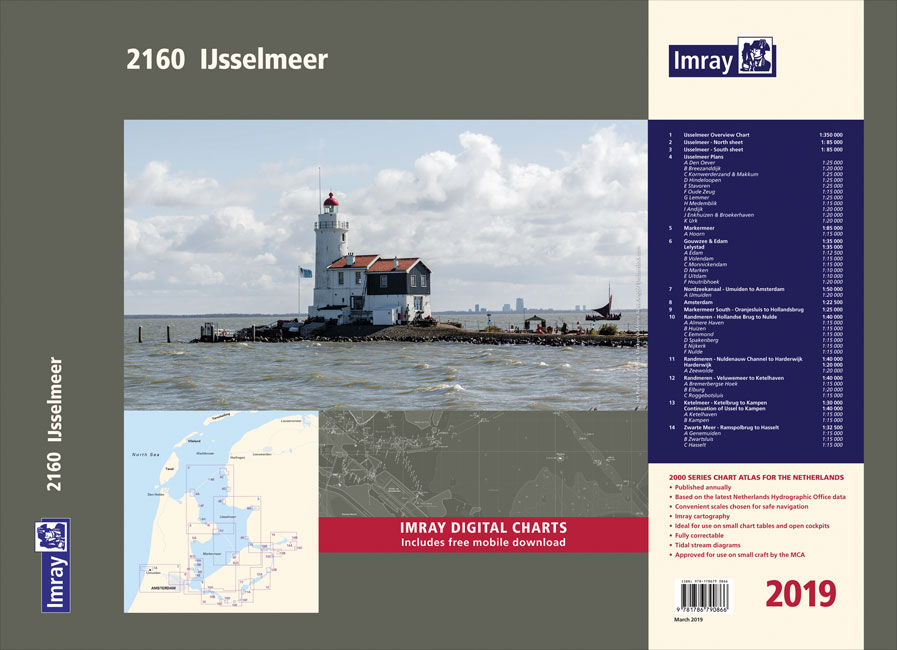
Part of Imray’s popular small format chart coverage for the Netherlands, this atlas is a convenient A2 format, wirobound along one edge. Includes extensive coverage of the IJsselmeer, Markermeer and Randmeren, as well as the Nordzeekanaal from IJmuiden to Amsterdam.This 2019 edition has been fully updated throughout. The latest depth surveys are displayed, as well
Y39 Poole Harbour
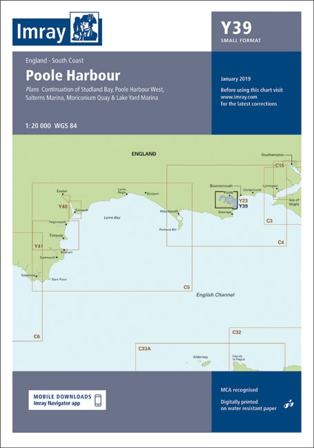
Plans included:Salterns Marina (1:10 000)Moriconium Quay & Lake Yard Marina (1:3000)Continuation of Studland Bay (1:20 000)Poole Harbour West (1:20 000)
Y41 Teignmouth and Tor Bay
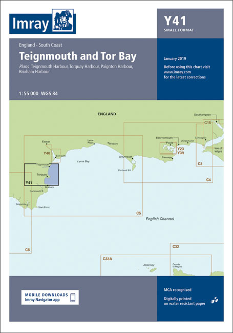
Plans included:Teignmouth Harbour (1:12 500)Torquay Harbour (1:7700)Paignton Harbour (1:7500)Brixham Harbour (1:10 000)
Y39 Poole Harbour – Laminated

Laminated version of Imray chart Y39.Plans included:Salterns Marina (1:10 000)Moriconium Quay & Lake Yard Marina (1:3000)Continuation of Studland Bay (1:20 000)Poole Harbour West (1:20 000)
Y41 Teignmouth and Tor Bay – Laminated chart

Laminated chart Y41Plans included:Teignmouth Harbour (1:12 500)Torquay Harbour (1:7700)Paignton Harbour (1:7500)Brixham Harbour (1:10 000)
C19 A Coruna to Gibraltar
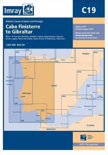
Plans included:A Coruรฑa (1:50 000)Baiona (1:85 000)Leixรตes (1:20 000)Lisboa Approaches (1:65 000)Cascais (1:25 000)Sines (1:30 000)Lagos (1:30 000)Bahรญa de Cรกdiz (1:55 000)Rota (1:25 000)Strait of Gibraltar (1:275 000)Gibraltar (1:40 000)On this edition the chart specification has been improved to show coloured light flashes. The plan of Bahรญa de Cรกdiz has been extended south to include
Cruising Almanac Tide Tables 2020
Cruising Almanac Tide Tables 2020 available separate from the Almanac itself.
C35 Baie de Morlaix to L`Aber-Ildut
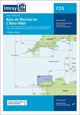
Plans: L`Aber-Ildut Argenton Portsall Approaches to L`Aber Wrac`h and L`Aber Benoit Port du Pontusval Mogueriec Roscoff Port de Morlaix 2008 edition includes harbour changes at L`Aber Wrac`h and reschemed coverage of the approaches to Port de Morlaix
C30 Harwich to Hoek van Holland and Dover Strait
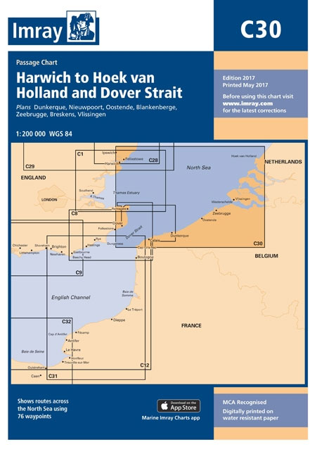
Plans included:Dunkerque (1:25 000)Nieuwpoort (1:30 000)Oostende (1:20 000)Blankenberge (1:10 000)Zeebrugge (1:35 000)Breskens (1:12 500)Vlissingen (1:20 000)On this edition the latest wind farm information is included as is the latest depth survey information.
C27 Firth of Forth
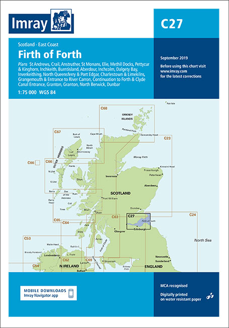
Plans included: St Andrews (1:7,500) Crail (1:7,500) Anstruther (1:7,500) St Monans (1:7,500) Elie (1:10,000) Methil Docks (1:11,000) Pettycur & Kinghorn (1:17,500) Inchkeith (1:25,000) Burntisland (1:20,000) Aberdour (1:12,500) Inchcolm (1:15,000) Dalgety Bay (1:15,000) Inverkeithing (1:15,000) North Queensferry & Port Edgar (1:20,000) Charlestown & Limekilns (1:15,000) Grangemouth and Entrance to River Carron (1:17,500) Granton (1:12,500) Fisherrow (1:12,500)
G25 Evvoia and the Northern Sporades
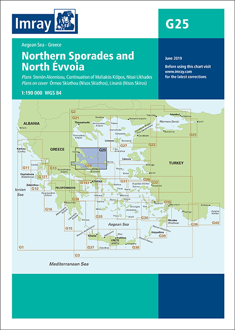
Plans included:ร“rmos Skรญathou (Nรญsos Skรญathos) (1:50 000)Stenรณn Alonnรญsou (1:50 000)Linariรก (Nรญsos Skรญros) (1:75 000)Continuation of Maliakรณs Kรณlpos (1:190 000)Nisoi Likhades (1:50 000)On this edition the chart specification has been improved to show coloured light flashes. A new plan showing the passage around Nisoi Likhades is included. There has been general updating throughout.
3200 Islas Baleares Chart Atlas – 2018 edition
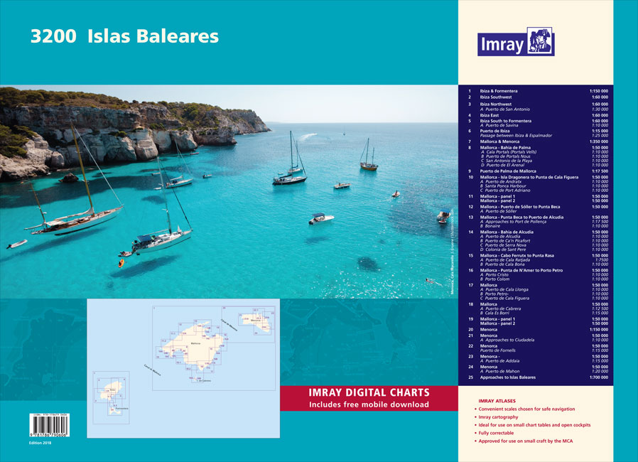
Chart atlas covering the Islas Baleares – Ibiza, Formentera, Mallorca, Cabrera and Menorca. 25 sheets provide all of the necessary information for passage planning and detailed approaches to the harbours and anchorages of this appealing cruising ground. In loose-leaf A2 format in a tough plastic wallet.A voucher code to download the relevant Imray digital charts
Y45 Plymouth Harbour
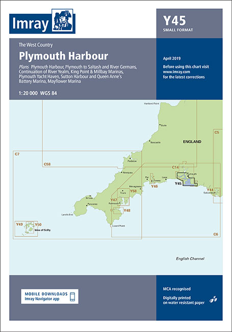
NOT AVAILABLE UNTIL NEW EDITION OUT, EARLY 2020Double sided chart with plans of: Mayflower Marina (1:5000)King Point & Millbay Marinas (1:10 000)Sutton Harbour and Queen Anne’s Battery Marina (1:7500)Plymouth Yacht Haven (1:5000)Continuation of River Yealm (1:20 000)First edition. Part of the small format Y series (A2 size), this is double-sided sheet replicates coverage of Plymouth
Insight Guides Explore Toronto (Travel Guide with free eBook)
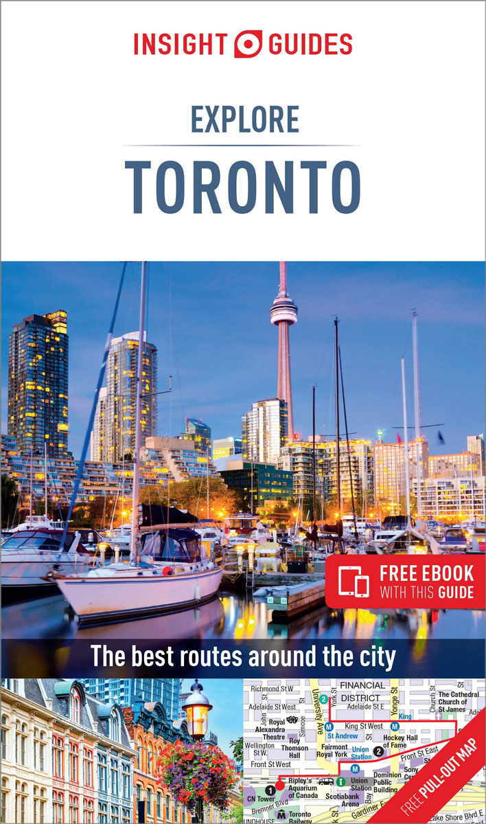
Experience the best of Toronto with this indispensably practical Insight Guides Explore book. From making sure you don`t miss out on must-see attractions like the CN Tower to discovering hidden gems, including Kensington Market, the easy-to-follow, ready-made walking routes will help you plan your trip, save you time, and enhance your exploration of this fascinating
Insight Guides Pocket Italian Lakes (Travel Guide with free eBook)
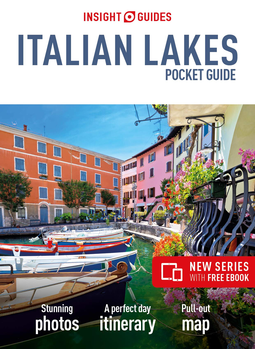
Insight Pocket Guides: ideal itineraries and top travel tips in a pocket-sized package. Now with free eBook, and a pull-out map.Plan your trip, plan perfect days and discover how to get around – this pocket-sized guide is a convenient, quick-reference companion to discovering what to do and see in the Italian Lakes and Verona, from
Insight Guides Pocket Porto (Travel Guide with free eBook)
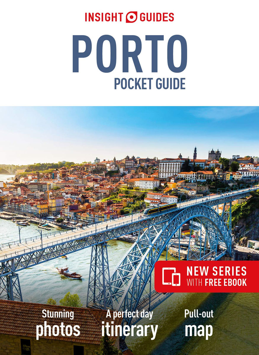
Insight Pocket Guides: ideal itineraries and top travel tips in a pocket-sized package. Now with free eBook, and a pull-out map.Plan your trip, plan perfect days and discover how to get around – this pocket-sized guide is a convenient, quick-reference companion to discovering what to do and see in Porto, from top attractions to hidden
Insight Guides USA on the Road

Insight Guides: all you need to inspire every step of your journey.From deciding when to go, to choosing what to see when you arrive, this is all you need to plan your trip and experience the best of the USA on the Road, with in-depth insider information on must-see, top attractions like the Grand Canyon