Category Archives: Non-Fiction & Reference
Imray Chart A232: Virgin Islands Tortola to Anegada: 2019
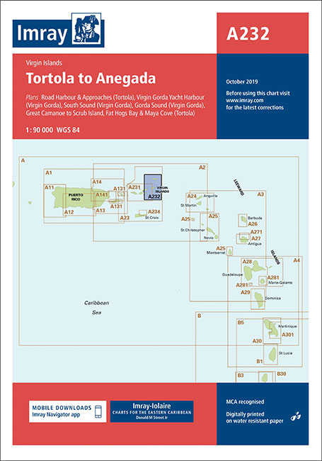
Plans included:Road Harbour & Approaches (Tortola) (1:20,000)Virgin Gorda Yacht Harbour (Virgin Gorda) (1:20,000)South Sound (Virgin Gorda) (1:20,000)Gorda Sound (Virgin Gorda) (1:25,000)Great Camanoe to Scrub Island (1:20,000)Fat Hogs Bay & Maya Cove (Tortola) (1:20,000)
Cruising Anglesey – from Liverpool to Porthmadog
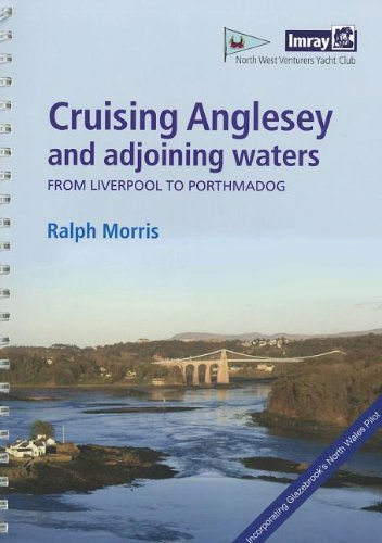
NEW EDITION, DUE APRILAnglesey Cruising – from Liverpool to Porthmadog is Imray’s pilot guide to the desirable British cruising and anchorage waters of Anglesey and the Menai Strait. Text and charts have been fully updated for the 2009 edition, with clear sailing directions now illustrated with many aerial photographs. Information on the area’s tidal patterns
G2 Aegean Sea (North)
Plans included:Approaches to รstanbul (1:150,000)Izmit Kรถrfezi (1:500,000)รanakkale Bogazi (The Dardanelles) (1:300,000)On this edition the chart specification has been improved to show coloured light flashes. Completed harbour works are included on the plan of the approaches to Istanbul. There has been general updating throughout.
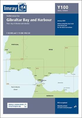
Y100 Gibraltar Bay and Harbour
Includes plans for:Milford Marina (1:15 000)Neyland Yacht Haven (1:10 000)
C48 A Coruna to Porto
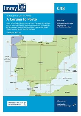
Plans included: A Coruna (1:50 000) Ria de Corme e Laxe (1:75 000) Ria de Camarinas (1:50 000) Ria de Muros (1:75 000) Approaches to Ria de Arousa (1:150 000) Ria de Arousa (1:150 000) Cabo de Cruz (1:40 000) Vilagarcia (1:35 000) Illa de Arousa to Cambados (1:40 000) Ria de Pontevedra (1:150 000)
2900 Firth of Clyde Chart Pack – 2020 edition
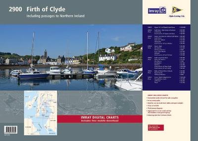
Imray Chart Pack 2900 collects together 5 Imray charts of the Upper Clyde in flat format in a large plastic wallet. It includes the following charts:* 2900.1 – The Upper Firth of Clyde and Loch Fyne* 2900.2 – Loch Fyne – Ardrishaig to Inveraray* 2900.3 – Lower Loch Fyne and Inchmarnock Water* 2900.4 – Firth
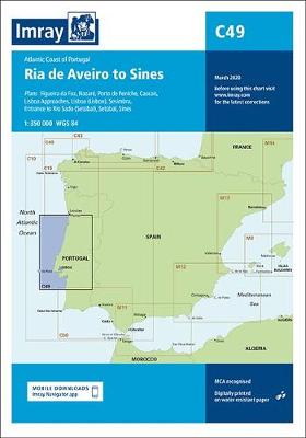
C49 Ria de Aveiro to Sines
This Imray’s series of charts for the Western Europe includes comprehensive and easy-to-use sailing charts published on rip-proof, waterproof paper- ideal for use on small tables or in cockpits. They show detailed coastline and depth information, and are constantly corrected to reflect latest information. Designed primarily for yachtsmen, they are comprehensive without being unnecessarily cluttered.Each
Chart 1 Eastern Caribbean
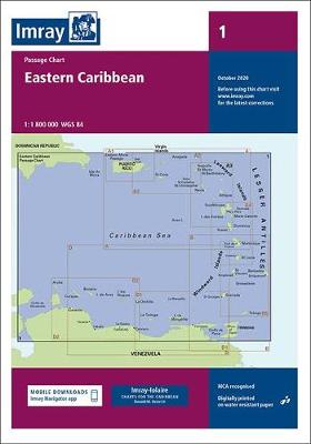
Imray’s series of charts of the coastal waters of the Caribbean are comprehensive and easy-to-use sailing charts published on rip-proof, waterproof paper- ideal for use on small tables or in cockpits. They show detailed coastline and depth information, and are constantly corrected to reflect latest information. Designed primarily for yachtsmen, they are comprehensive without being
C8 Dover Strait
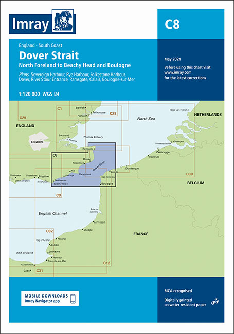
Plans included: Sovereign Harbour (1:20 000) Rye Harbour (1:35 000) Folkestone (1:10 000) Dover (1:15 000) River Stour Entrance (1:35 000) Ramsgate (1:6500) Calais (1:20 000) Boulogne-sur-Mer (1:25 000) For this 2014 edition the chart has been fully updated throughout. Revised depths have been applied as appropriate, particularly in the waters around Goodwin Sands, and
Y14 The Swale
A brand new chart for 2018 covering the River Swale. This chart is a replica of Imray chart 2100.5. It is printed on water resistant paper.
Y31 Christchurch to the Solent
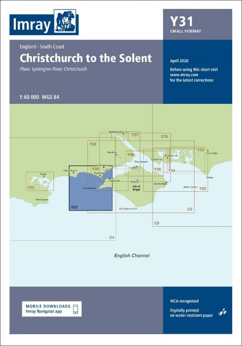
Plans included:Lymington River (1:17 500)Christchurch (1:20 000)A brand new chart for 2018 covering Christchurch to the Solent. This chart is a replica of Imray chart 2200.2. It is printed on water resistant paper.
Y32 Eastern Approach to the Solent
A brand new chart for 2018 covering the Eastern Approaches to the Solent. This chart is a replica of Imray chart 2200.3. It is printed on water resistant paper.
C43 Santander to A Coruna
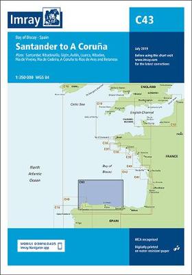
Plans: Santander Ribadesella Gijon Luarca Ribadeo Ria de Viveiro Ria de Cedeira A Coruna to Rias de Ares and Betanzos Covers the northern coast of Spain from Santander to A Coruna .
Y33 Langstone and Chichester Harbours
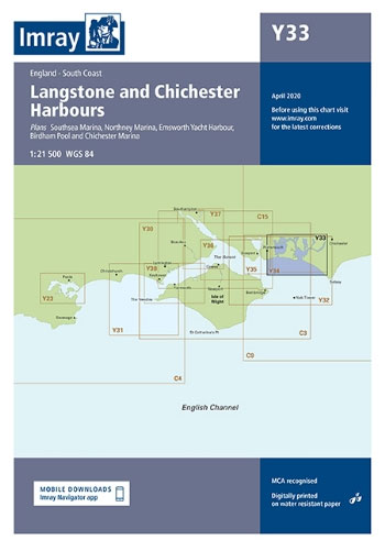
Plans: Northney Marina Emsworth Yacht Harbour Birdham Pool and Chichester Marina Southsea Marina Current edition updated using latest known depth surveys. Marina developments at Southsea included.
E4 Arquipelago de Cabo Verde
Plans included:Porto Novo (Ilha de Santo Antรฃo) (1:10 000)Mindelo (Porto Grande) (Ilha de Sรฃo Vicente) (1:20 000)Ilha de Santa Luzia (1:not known)Porto de Tarrafal (Ilha de Sรฃo Nicolau) (1:8500)Porto da Preguiรงa (Ilha de Sรฃo Nicolau) (1:8500)Baรญa da Palmeira (Ilha do Sal) (1:15 000)Porto de Sal-Rei (Ilha da Boavista) (1:30 000)Porto da Praia (Ilha de Santiago)
Y34 Chichester and Langstone Harbours
Plans included:Southsea Marina (1:20 000)Northney Marina (1:20 000)Emsworth Yacht Harbour (1:15 000)Sparkes Marina (1:15 000)Chichester and Birdham Marinas (1:20 000)A brand new chart for 2018 covering Chichester & Langstone Harbours. This chart is a replica of Imray chart 2200.4. It is printed on water resistant paper.
2140 Rijn and Maas Delta Chart Atlas – 2019 edition
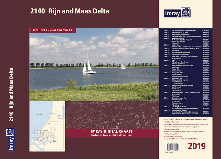
Part of Imray’s popular small format chart coverage for the Netherlands, this atlas is a convenient A2 format, wirobound along one edge. Includes extensive coverage of Nieuwe Waterweg, Nieuwe- and Oude Maas, Brielse Meer, Spui, Noord, Dortsche Kil, Hollandsch Diep, Haringvliet, Volkerak and Grevelingenmeer. Also included are approach charts to the Maas and Haringvliet entrances,
2150 Waddenzee – Den Helder to Norderney Chart Atlas – 2019 edition
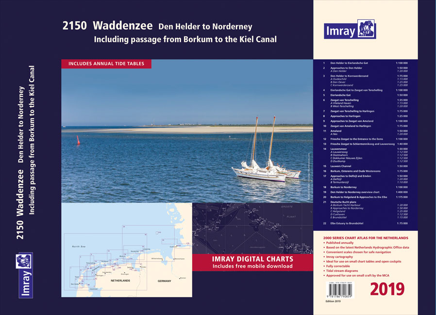
Part of Imray’s popular small format chart coverage for the Netherlands, this atlas is a convenient A2 format, wirobound along one edge. In addition to detailed coverage of the area from Den Helder to Nordeney, the atlas has been extended to include passage to the Kiel Canal. A new plan of Borkum Yacht Harbour, and
2160 IJsselmeer Chart Atlas – 2019 edition
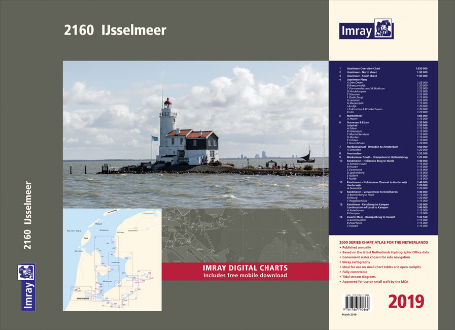
Part of Imray’s popular small format chart coverage for the Netherlands, this atlas is a convenient A2 format, wirobound along one edge. Includes extensive coverage of the IJsselmeer, Markermeer and Randmeren, as well as the Nordzeekanaal from IJmuiden to Amsterdam.This 2019 edition has been fully updated throughout. The latest depth surveys are displayed, as well
Y39 Poole Harbour
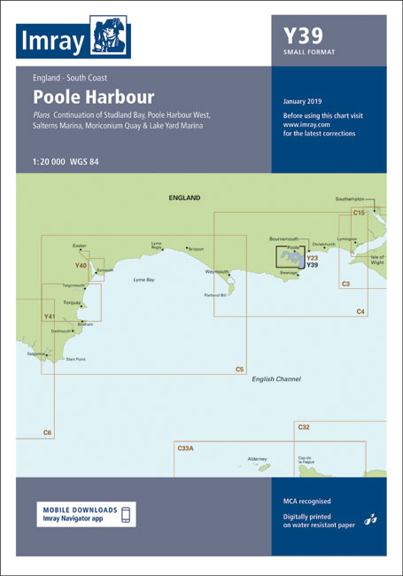
Plans included:Salterns Marina (1:10 000)Moriconium Quay & Lake Yard Marina (1:3000)Continuation of Studland Bay (1:20 000)Poole Harbour West (1:20 000)