Category Archives: Non-Fiction & Reference
A24 Anguilla, St Martin and St Barthelemy
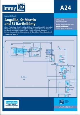
Plans included: Prickly Pear Cays (1:30,000) Shoal Bay & Island Harbour (Anguilla) (1:50,000) Crocus Bay (Anguilla) (1:15,000) Road Bay (Anguilla) (1:12,000) Simpson Bay Lagoon and Baie de Marigot (Saint Martin) (1:30,000) Great Bay (Sint Maartin) (1:15,000) Oyster Pond (Sint Maartin) (1:10,000) Port de Gustavia (Saint Barthelemy) (1:15,000) Anse de Marigot (Saint Barthelemy) (1:30,000) On this
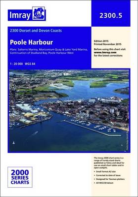
Poole Harbour 2300.5 SUPERCEDED
Imray’s 2000-series small format UK charts are comprehensive and easy-to-use sailing charts for popular British waters. Published as small (A2) sheets on rip-proof, waterproof paper, they are ideal for use on small tables or in cockpits. They show detailed coastline and depth information, and are constantly corrected to reflect latest information. Designed primarily for yachtsmen,
Harbour Guide Croatia, Montenegro and Slovenia
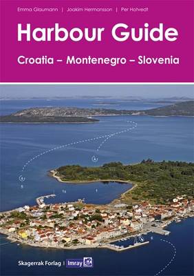
Imray has commissioned this English language edition of Skagerrak Forlag`s Harbour Guide to Slovenia, Croatia and Montenegro, which covers the coasts of those countries and their islands. The Norwegian publisher has already established a comprehensive series of Harbour Guides (Havneguiden) for the Baltic Sea that concentrate on providing the user with the clearest possible information
Grenada to the Virgin Islands – Cruising Guide

This popular book covering the Caribbean from Grenada and Barbados to the Virgin Islands is a translation from Jacques Patuelli`s original French version. Each island is dealt with in detail and pilotage notes are followed by tourist information and the usual data on formalities and facilities. Fully illustrated with plans and photos, many of which
M12 Cabo de Gata to Denia & Ibiza SUPERCEDED
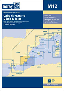
Imray’s series of charts of the Mediterranean are comprehensive and easy-to-use sailing charts published on rip-proof, waterproof paper- ideal for use on small tables or in cockpits. They show detailed coastline and depth information, and are constantly corrected to reflect latest information. Designed primarily for yachtsmen, they are comprehensive without being unnecessarily cluttered.This chart includes
C34 Cap D`Erquy to Ile de Batz
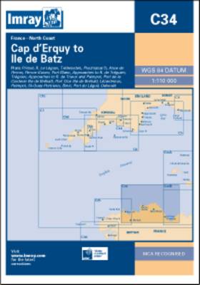
Plans: Primel Riviere Le Leguer Trebeurden Ploumanac`h Anse de Perros Perros-Guirec Port-Blanc Approaches to Riviere de Treguier Treguier Approaches to Riviere de Trieux and Paimpol Port de la Corderie (Ile de Brehat) Port Clos (Ile de Brehat) Lezardrieux Paimpol St-Quay-Portrieux Binic Port du Legue Dahouet 2009 edition includes extensive updating throughout. Some areas of the
East Coast Pilot – Great Yarmouth to Ramsgate SUPERCEDED

Since its launch East Coast Pilot has become the most popular pilot book for the creeks, harbours and rivers between Lowestoft and Ramsgate, providing clear and concise sailing directions for visitors and regular East Coast cruising yachtsmen alike. The three authors all keep their boats on the East Coast and sail these waters regularly, using
Atlantic Islands SUPERCEDED
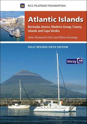
When Anne Hammick started research on the first edition of Atlantic Islands back in 1987, few would have guessed the changes which 25 years would bring. Facilities for yachts have improved immeasurably in all four island groups, bureaucracy has decreased and, from being seen mainly as convenient stepping stones on the Atlantic passage, all the
E4 Arquipelago de Cabo Verde SUPERCEDED
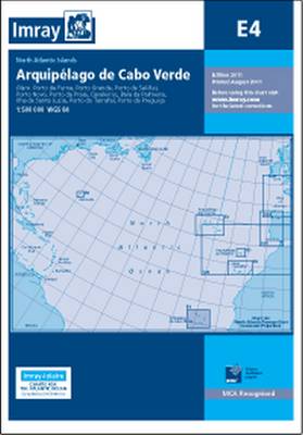
Imray’s series of charts of North Atlantic Islands are comprehensive and easy-to-use sailing charts published on rip-proof, waterproof paper- ideal for use on small tables or in cockpits. They show detailed coastline and depth information, and are constantly corrected to reflect latest information. Designed primarily for yachtsmen, they are comprehensive without being unnecessarily cluttered.This chart
Brazil Cruising Guide
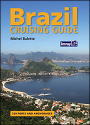
Brazil Cruising Guide is a comprehensive set of sailing directions for the coasts of Brazil, with over 250 harbours and anchorages described and illustrated by full colour photographs and plans, many of which are based on official Brazilian Navy charts. Michael Balette describes the scenery of the country’s 3,500 mile coastline which operates as an
The Wash – Y9 SUPERCEDED
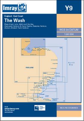
Plans: King`s Lynn Wells-next-the-Sea Brancaster Harbour & Overy Staithe Blakeney Boston Wisbech Yacht Harbour Current edition revised using the latest depth surveys (changes in Boston Deep, Wainfleet Sand and the approaches to King`s Lynn). Also displays the latest windfarm details, plus has revised sketch plans of Wells and Blakeney.
C55 Dingle Bay to Galway Bay
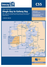
Plans included: Cashla Bay (1:30 000) Galway Bay (1:40 000) Galway Harbour (1:15 000) Kilronan (Aran Is.) (1:45 000) River Shannon to Limerick (1:110 000) Kilrush (1:30 000) Foynes Harbour (1:17 500) Fenit Island (1:35 000) Dingle Harbour (1:25 000) On this 2015 edition revised depths are shown throughout, in particular at Cashla Bay, Galway
The Black Sea
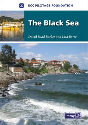
Based on previously published cruising notes this guide provides sailing directions for all the countries surrounding the Black Sea.Packed with useful background information and supported by the RCCPF’s access to the latest and often changing information this is an essential companion for anyone venturing north from the Bosphorus.
B32 Carriacou to Grenada
Plans included:Tyrrel Bay (Carriacou) (1:17 500)Grenada Bay (1:30 000)Grenville Harbour (1:15 000)Grenada – Southeast Coast (1:45 000)Grenada – South Coast (1:40 000)Saint George`s Harbour (1:12 500)On this 2017 edition, a new large scale plan of the South East coast of Grenada is included covering Great Bacolet Point to Marquis Point. New ranges and recommended courses
2800 Isle of Mull and Adjacent Coasts Chart Pack – 2012 edition
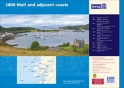
A pack of 11 charts covering Crinan to Tobermory and Fort William.The pack includes:2800.1 Crinan to Tobermory and Fort William 1:160,000 2800.2 Loch Crinan to Garbh Eileach 1:50,000 2800.3 Cuan Sound to Loch Spelve and Kerrera Sound 1:50,0002800.4 Oban to Loch Aline and Port Appin 1:50,0002800.5 Loch Aline to Tobermory and Loch Sunart 1:50,0002800.6 Loch
A23 Virgin Islands and St Croix
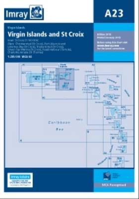
Includes inset of St Croix (1:100,000) Other plans included: Christiansted (St Croix) Port Alucroix & Limetree Bay (St Croix) Frederiksted (St Croix) Green Cay Marina (St Croix) Road Harbour (Tortola) Charlotte Amalie (St Thomas) 2013 Edition – Fully updated throughout using the latest available information. Various harbour developments on St Croix and at Road Harbour