Category Archives: Non-Fiction & Reference
Outer Hebrides – CCC Sailing Directions and Anchorages
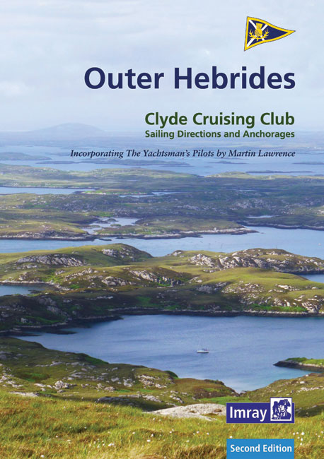
This new edition of the Outer Hebrides is the second of the CCC Sailing Directions to be published under the Imray imprint, and in the same format as The Firth of Clyde. The text has been fully revised and now draws heavily on Martin Lawrence`s material preveiously published as The Western Isles.The coverage is unchanged
Y33 Langstone and Chichester Harbours SUPERCEDED
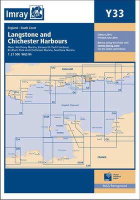
Plans: Northney Marina Emsworth Yacht Harbour Birdham Pool and Chichester Marina Southsea Marina Current edition updated using latest known depth surveys. Marina developments at Southsea included.
Y16 Walton To Ipswich & Woodbridge
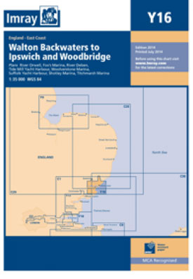
Plans: Fox`s Marina (Ipswich) Shotley Point Marina Suffolk Yacht Harbour Woolverstone Marina Titchmarsh Marina Woodbridge River Deben River Orwell Tide Mill Yacht Haven.
The Netherlands – Inland Waterways
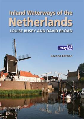
With 6000km of navigable waterways, the Netherlands offers one of the most extensive cruising guides to the Netherlands. The guide is a comprehensive user`s guide to the whole network, covering all the mast-up routes and excluding only those waterways which offer less than 3.5m bridge height.Navigational details are provided for each waterway; comprising dimensions and
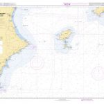
M13 Denia to Barcelona and Ibiza
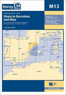
Plans included: Denia (1:20,000) Valencia Harbour (1:30,000) Tarragona (1:25,000) Barcelona Harbour (1:65,000) San Antonio (Ibiza) (1:30,000)
A27 Antigua
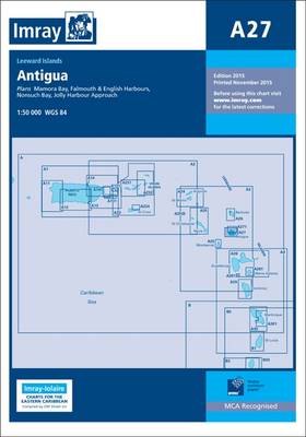
Waterproof navigation chart with sailing directions on the reverse. Includes plans of Nonsuch Bay, Mamora Bay, Falmouth and English Harbours.
M36 South Coast of Sicilia to Malta
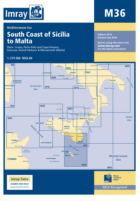
A chart for 2016 covering the south coast of Sicily and Malta Passage Plans included: Licata (1:20 000) Porto Palo and Capo Passero (1:100 000) Siracusa (1:35 000) Grand Harbour & Marsamxett (Malta) (1:15 000)
B3 Grenadines
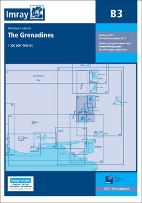
Imray’s series of charts of the coastal waters of the Caribbean are comprehensive and easy-to-use sailing charts published on rip-proof, waterproof paper- ideal for use on small tables or in cockpits. They show detailed coastline and depth information, and are constantly corrected to reflect latest information. Designed primarily for yachtsmen, they are comprehensive without being
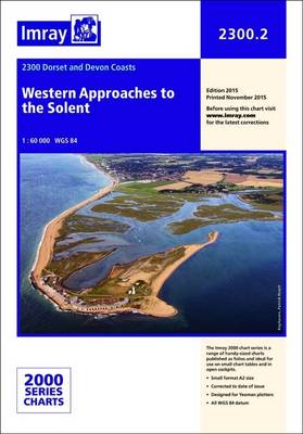
Christchurch to the Solent – 2200.2 SUPERCEDED
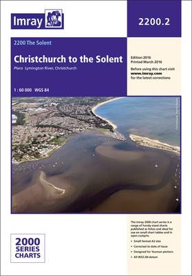
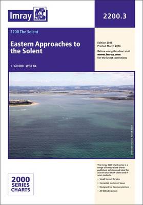
Imray`s 2000-series small format UK charts are comprehensive and easy-to-use sailing charts for popular British waters. Published as small (A2) sheets on rip-proof, waterproof paper, they are ideal for use on small tables or in cockpits. They show detailed coastline and depth information, and are constantly corrected to reflect latest information. Designed primarily for yachtsmen,
Fenland Waterways SUPERCEDED
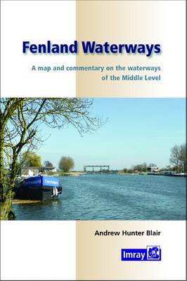
Andrew Hunter Blair`s guide to the Middle Level and the waterways that connect the river Great Ouse and the Nene has been revised and improved wiith the addition of detailed mapping of each section of river in the same style as his other waterway maps. Spiral bound with folded map.
Turkish Waters & Cyprus Pilot
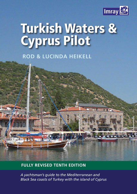
Turkish Waters and Cyprus Pilot covers the entire coast of Turkey from the Black Sea down the Aegean coast and around to the Syrian border. The coasts, ports and marinas of the island of Cyprus are also described.There are few more beautiful cities in the world that it is possible to sail into the heart
Imray Chart: Saint Marys, Tresco and Surrounding Islands 2400.14
Chart of St Mary`s, Tresco and surrounding Islands.
B Martinique to Trinidad
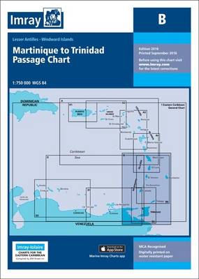
Imray’s series of charts of the coastal waters of the Caribbean are comprehensive and easy-to-use sailing charts published on rip-proof, waterproof paper- ideal for use on small tables or in cockpits. They show detailed coastline and depth information, and are constantly corrected to reflect latest information. Designed primarily for yachtsmen, they are comprehensive without being
Exmouth to Salcombe – 2400.15 SUPERCEDED

Imray`s 2000-series small format UK charts are comprehensive and easy-to-use sailing charts for popular British waters. Published as small (A2) sheets on rip-proof, waterproof paper, they are ideal for use on small tables or in cockpits. They show detailed coastline and depth information, and are constantly corrected to reflect latest information. Designed primarily for yachtsmen,
C29 Harwich to Whitby
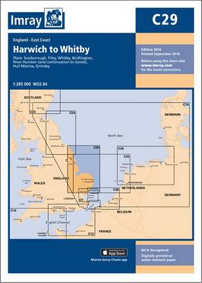
Plans included: Whitby (1:15 000) Scarborough (1:7500) Filey (1:20 000) Bridlington (1:20 000) River Humber (1:110 000) River Humber – Continuation to Goole (1:110 000) Hull Marina (1:10 000) Grimsby (1:20 000) For this 2014 edition the chart has been fully updated throughout. Depths from the latest known surveys have been used, particularly in the
RCC Cape Horn and Antarctic Waters
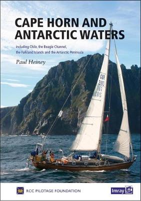
This stylish handbook from the RCC Pilotage Foundation covers the spectacular cruising grounds around Cape Horn, including Chile, the Beagle Channel, the Falkland Islands and the Antarctic Peninsula. Including some of the most dangerous waters in the world, from the treacherous Cape Horn to the icebound anchorages of Antarctica, it offers not only inspiration and
Lyme Bay 2300.4
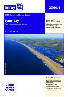
Imray’s 2000-series small format UK charts are comprehensive and easy-to-use sailing charts for popular British waters. Published as small (A2) sheets on rip-proof, waterproof paper, they are ideal for use on small tables or in cockpits. They show detailed coastline and depth information, and are constantly corrected to reflect latest information. Designed primarily for yachtsmen,