Category Archives: Non-Fiction & Reference
Y14 The Swale SUPERCEDED
A brand new chart for 2018 covering the River Swale. This chart is a replica of Imray chart 2100.5. It is printed on water resistant paper.
A30 Martinique
Plans included:St Pierre (1:20 000)Rade de Fort de France (1:15 000)Pointe du Bout (1:35 000)Cul-de-Sac Marin (1:35 000)Mouillage du Franรงois (1:50 000)Havre du Robert (1:45 000)Havre de la Trinitรฉ (1:30 000)On this 2018 edition the chart specification has been improved to show coloured light flashes. The plan of Rade de Fort de France has been
B5 Martinique to Grenada, Tobago and Barbados Passage Chart
About this series:A series of navigational charts for the coastal waters of the Caribbean. Depths are shown in fathoms and feet, with different sea colouring indicating areas with depths below one, between one and five, and over five fathoms. Each chart contains insets showing local harbours annotated with symbols indicating what facilities can be found
C65 Crinan To Mallaig & Barra
Plans included: Castle Bay (Barra) (1:25,000) Mallaig (1:10,000) Tobermory (Mull) (1:22,500) Caledonian Canal Entrance (1:40,000) Lynn of Lorn (1:40,000) Dunstaffnage Bay (1:20,000) Oban (1:15,000) Loch Feochan Entrance (1:25,000) Sound of Luing (1:30,000) On the 2013 edition of this chart, depths from the latest known surveys have been extensively applied throughout. Where necessary positional accuracy has
C4 Needles Channel to Bill of Portland
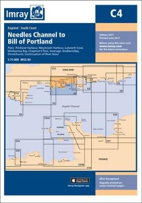
Imray’s series of charts of Northwest Europe are comprehensive and easy-to-use sailing charts published on rip-proof, waterproof paper- ideal for use on small tables or in cockpits. They show detailed coastline and depth information, and are constantly corrected to reflect latest information. The C Charts offer coverage for cruising on larger-size sheets; they are suitable
Y23 Poole Harbour

Poole Harbour in Imray’s series of charts, which are comprehensive and easy-to-use sailing charts published on rip-proof, waterproof paper- ideal for use on small tables or in cockpits. They show detailed coastline and depth information, and are constantly corrected to reflect latest information. The C Charts offer coverage for cruising on larger-size sheets; they are
C25 Harwich to the River Humber and Holland
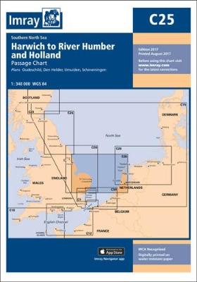
Plans included: Oudeschild (1:15,000) Den Helder (1:21,000) IJmuiden (1:35,000) Scheveningen (1:10,000) The 2013 edition of this chart shows full details of the new and improved routeing measures off the coast of the Netherlands, as implemented on 1st August 2013.
C5 Bill of Portland to Salcombe Harbour
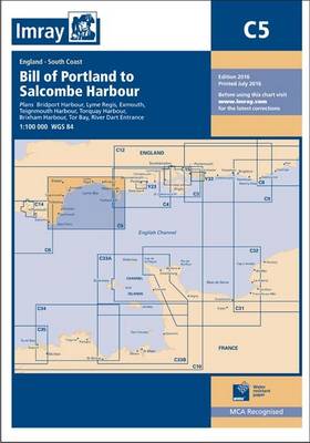
Plans: Bridport Harbour Lyme Regis Exmouth Tor Bay Teignmouth Harbour Torquay Harbour Brixham Harbour River Dart Entrance 2010 edition. Fully updated throughout. Includes revised details of jetties, pontoons, etc. at Lyme Regis, Torquay and Brixham, plus the latest depth surveys in Teignmouth Harbour and the River Exe entrance.
A231 Virgin Islands: St Thomas to Virgin Gorda
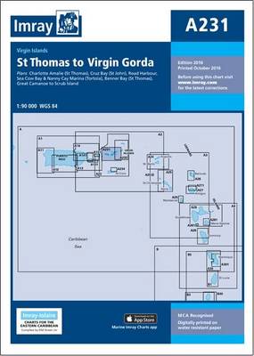
Plans included: Charlotte Amalie (St Thomas) (1:30,000) Cruz Bay (St John) (1:20,000) Road Harbour, Sea Cow Bay & Nanny Cay Marina (Tortola) (1:20,000) Benner Bay (St Thomas) (1:20,000) Great Camanoe to Scrub Island (1:20,000) On this 2013 edition, a new plan of Benner Bay (St Thomas) replaces the plan of Virgin Gorda Yacht Harbour (which
A232 Virgin Islands: Tortola to Anegada
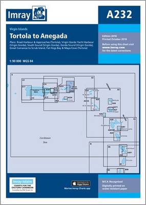
Plans included: Road Harbour & Approaches (Tortola) (1:20,000) Virgin Gorda Yacht Harbour (Virgin Gorda) (1:20,000) South Sound (Virgin Gorda) (1:20,000) Gorda Sound (Virgin Gorda) (1:25,000) Great Camanoe to Scrub Island (1:20,000) Fat Hogs Bay & Maya Cove (Tortola) (1:20,000) For this 2013 edition, the plan of Gorda Sound (Virgin Gorda) has been reschemed – the
A233 Virgin Islands (Charts A231 and A232 back-to-back without text)
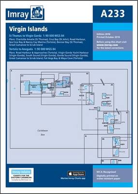
A double-sided chart combining charts A231 and A232 A231 St Thomas to Virgin Gorda Plans included: Charlotte Amalie (St Thomas) (1:30,000) Cruz Bay (St John) (1:20,000) Road Harbour, Sea Cow Bay & Nanny Cay Marina (Tortola) (1:20,000) Benner Bay (St Thomas) (1:20,000) Great Camanoe to Scrub Island (1:20,000) On this 2013 edition, a new plan
Y26 Milford Haven
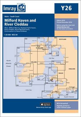
Includes plans for:Milford Marina (1:15 000)Neyland Yacht Haven (1:10 000)
A28 Guadeloupe
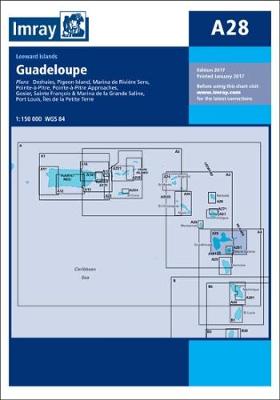
Waterproof navigation chart of the island. Includes plans of Pointe-ร -Pitre, Anse Deshaies, Gozier, Port Louis, Franรงois and Marina de la Grande Saline, Marina de Riviรจre Sens and Iles de la Petite Terre.
C50 Sines to Gibraltar
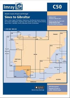
Plans included: Sines Lagos Portimao Vilamoura Vila Real de Santo Antonio Isla Cristina Mazagon Chipiona Rota Bahia de Cadiz Puerto Sherry Sancti-Petri Barbate Tarifa Gibraltar Strait of Gibraltar NEW EDITION – Includes revision of Strait of Gibraltar TSS, major changes at Gibraltar and new port details (Tangier-Med) on the coast of Morocco. Portimao plan has
B30 St Vincent to Mustique
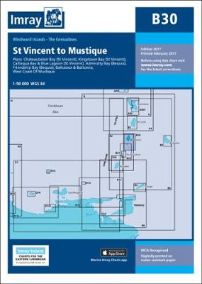
Windward Islands Plans include: Kingstown Bay (St Vincent) Calliaqua Bay & Blue Lagoon (St Vincent) Admiralty Bay (Bequia) West Coast of Mustique Baliceaux & Battowia Friendship Bay (Bequia) Chateaubelair Bay (St Vincent).
C26 Ijmuiden to die Elbe
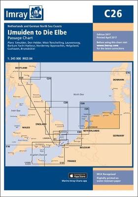
Plans included:IJmuiden (1:35 000)Den Helder (1:21 000)West-Terschelling (1:20 000)Lauwersoog (1:15 000)Borkum Yacht Harbour (1:25 000)Norderney Approaches (1:66 000)Helgoland (1:25 000)Cuxhaven (1:12 500)Brunsbรผttel (1:12 500)On this edition the latest depth surveys have been applied, as has the latest information regarding wind farms and nature reserves. The chart specification has been improved to show coloured light flashes.
A271 Antigua North Coast
Imray’s series of charts of the coastal waters of the Caribbean are comprehensive and easy-to-use sailing charts published on rip-proof, waterproof paper- ideal for use on small tables or in cockpits. They show detailed coastline and depth information, and are constantly corrected to reflect latest information. Designed primarily for yachtsmen, they are comprehensive without being
E5 Bermuda
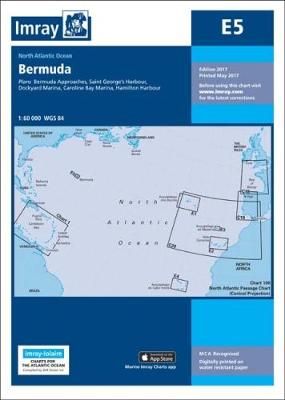
Plans included: St George`s Harbour Dockyard Marina Hamilton Harbour Bermuda Approaches (on reverse) 2012 EDITION – Fully updated with the latest known depth surveys and harbour developments. A new Approaches to Bermuda plan has also been added to the reverse.
E1 El Arquipelago dos Acores
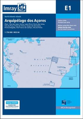
On this 2016 edition the latest depth surveys have been applied. New Marine Reserves are shown where appropriate as are new submarine cables. Completed harbour development is now shown on the Porto das Velas plan as are the current works in progress. There has been general updating throughout. Plans included: Vila das Lajes (1:20 000)