Category Archives: Non-Fiction & Reference
Time Out London For Londoners

London for Londoners is the ultimate handbook to everyday life in the capital. Borough by borough, Time Out takes you through the London that tourists don`t see. Each area is dissected, by way of facts and figures (council tax, transport, schools, house prices, rents and so on) and by amenities (parks, markets, sports facilities, arts
Time Out Naples, Capri, Sorrento & the Amalfi Coast Guide

Visit the San Carlo opera house, where Rossini and Donizetti triumphed, sip a caffe where Oscar Wilde and Enrique Caruso used to lounge, eat a margharita pizza at the restaurant that created it and, with the help of this guide, find the best hotels, the coolest spas and some of the finest food in the
Time Out Manchester Shortlist

The Shortlist Manchester selects the very best of Manchester`s sightseeing, restaurants, shopping, nightlife and entertainment, with Time Out`s trademark expertise. It also takes you straight to the latest venues, tips you off to the news and fashions and gives the dates that matter. It`s the best reference for anyone visiting Manchester in a handy size
Arctic and Northern Waters – 2nd Edition
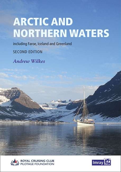
Coming Soon!New, Second Edition (2020)This handbook from the RCC Pilotage Foundation, covers the Northwest and Northeast Passages through the Arctic Ocean as well as Faroe, Iceland and Greenland. Incorporating information collected on a number of voyages over recent years this work is an impressive resource which brings together experience and background data on a region
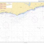
Y34 Chichester and Langstone Harbours SUPERCEDED
Plans included:Southsea Marina (1:20 000)Northney Marina (1:20 000)Emsworth Yacht Harbour (1:15 000)Sparkes Marina (1:15 000)Chichester and Birdham Marinas (1:20 000)A brand new chart for 2018 covering Chichester & Langstone Harbours. This chart is a replica of Imray chart 2200.4. It is printed on water resistant paper.
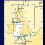
Y36 Central Solent SUPERCEDED
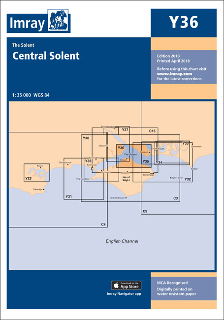
A brand new chart for 2018 covering the Central Solent. This chart is a replica of Imray chart 2200.6. It is printed on water resistant paper.
C42 La Rochelle to Santander
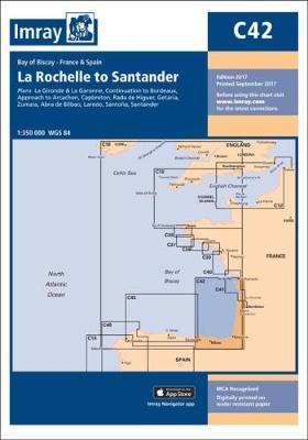
Plans included: Approach to Arcachon Capbreton Rada de Higuer Getaria Zumaia Abra de Bilbao Santoรฑa Santander Also includes a plan of La Gironde and La Garonne on the reverse of the chart. 2009 EDITION – C42 has been extensively reschemed and rescaled on this edition.Chart coverage, which previously extended from La Gironde to Arcachon, now
Mud and the City – Dos and Dont`s for Townies in the country
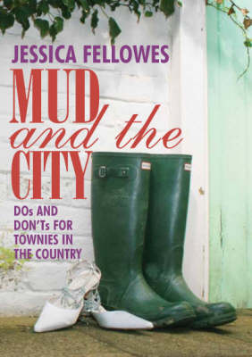
`Mud & City` explains the unwritten `country code`. How to behave? Where to wander? What to wear? Whether you`re going fruit-picking, spending a hen weekend in a remote cottage, or planning to buy the perfect rural retreat, this is an essential purchase for anyone who doesn`t want to get their Choos burnt.
Islas Baleares
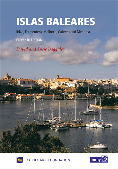
This eleventh edition of Islas Baleares, covering Ibiza, Formentera, Mallorca, Cabrera and Menorca, has been revised and updated for the RCC Pilotage Foundation by David and Susie Baggaley, whose Beneteau 42, Kookaburra has been based in Addaya, Menorca for several years. In their research for this edition, over two seasons, the authors confess to having
We Are Iran

Iran has more Web diarists than any other country, and many Iranians use cyberspace to express opinions in print with a freedom that has not been available to them since the state closed all critical newspapers. This book is a group portrait of today`s `real` Iranians, of an Iran never before seen in the West.
Channel Islands, Cherbourg Peninsula and North Brittany
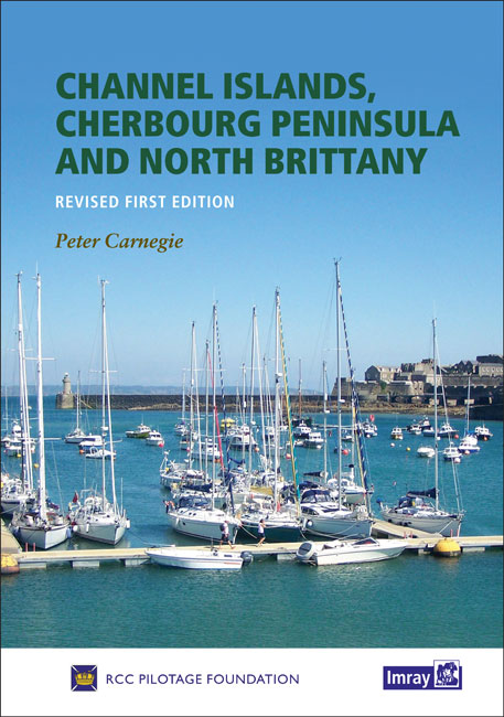
This revision of the RCC Pilotage Foundation`s pilot updates the combined volume for this area which encompasses the Channel Islands and extends from St Vaast La Hougue on the east of the Cherbourg peninsula, and works westwards along the Normandy and Brittany coasts to Ouessant. Coverage includes the Plateau des Roches Douvres as well as
C32 Baie de Seine
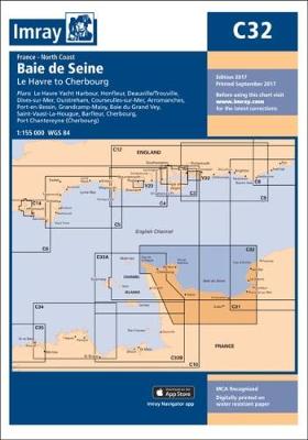
Plans included: Le Havre Yacht Harbour (1:10,000) Honfleur (1:15,000) Deauville/Trouville (1:15,000) Dives-sur-Mer (1:50,000) Ouistreham (1:25,000) Courseulles-sur-Mer (1:20,000) Arromanches (1:35,000) Port-en-Bessin (1:10,000) Grandcamp-Maisy (1:6,000) Baie du Grand Vey (1:75,000) Saint-Vaast-La-Hougue (1:20,000) Barfleur (1:15,000) Cherbourg (1:40,000) Port Chantereyne (Cherbourg) (1:10,000) For this 2013 edition, the chart has been fully updated. The latest known depths have been applied
East Coast Pilot – Great Yarmouth to Ramsgate
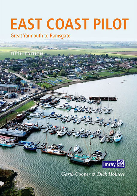
East Coast Pilot has become the bible for cruising sailors for the waters between Great Yarmouth and Ramsgate. Not only does it cover the many harbours, rivers and creeks in a clear and concise manner, it also reveals some of the mysteries of sailing these shallow and shifting coastal waters. Both authors keep their boats
C67 North Minch & Isle of Lewis

Plans included:Loch Inchard (Kinlochbervie) (1:12 500)Loch Inver (1:15 000)Ullapool (1:10 000)Stornoway Harbour (1:15 000)Loch Carloway (1:20 000)On this 2017 edition the latest depth surveys have been included. The chart specification has been improved to show coloured light flashes. There has been general updating throughout.
Cruising Almanac Tide Tables 2019
Cruising Almanac Tide Tables 2019 available separate from the Almanac itself.
Y12 Rivers Stour and Orwell
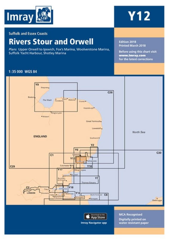
On this 2018 edition the latest available depth surveys have been applied. The chart specification has been improved to show coloured light flashes. There has been general updating throughout.
Y14 The Swale SUPERCEDED
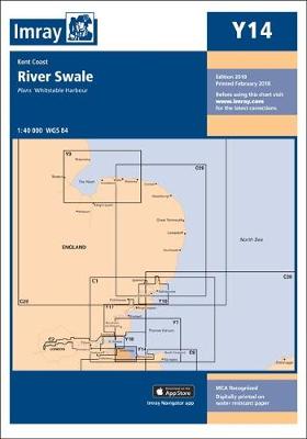
A brand new chart for 2018 covering the River Swale. This chart is a replica of Imray chart 2100.5. It is printed on water resistant paper.
A30 Martinique
Plans included:St Pierre (1:20 000)Rade de Fort de France (1:15 000)Pointe du Bout (1:35 000)Cul-de-Sac Marin (1:35 000)Mouillage du Franรงois (1:50 000)Havre du Robert (1:45 000)Havre de la Trinitรฉ (1:30 000)On this 2018 edition the chart specification has been improved to show coloured light flashes. The plan of Rade de Fort de France has been