Category Archives: Non-Fiction & Reference
Admiralty Chart 3315 – Berry Head to Bill of Portland
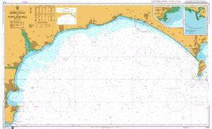
NEW EDITION OUT ON 19/03/2020Admiralty standard nautical charts comply with Safety of Life at Sea (SOLAS) regulations and are ideal for professional, commercial and recreational use. Charts within the series consist of a range of scales, useful for passage planning, ocean crossings, coastal navigation and entering port.Standard Admiralty charts are folded to fit in a
Admiralty Chart 1267 – Falmouth to Plymouth

Admiralty standard nautical charts comply with Safety of Life at Sea (SOLAS) regulations and are ideal for professional, commercial and recreational use. Charts within the series consist of a range of scales, useful for passage planning, ocean crossings, coastal navigation and entering port.Standard Admiralty charts are folded to fit in a chart table drawer. If
Admiralty Chart 1355 – Dieppe
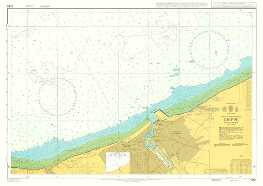
Admiralty standard nautical charts comply with Safety of Life at Sea (SOLAS) regulations and are ideal for professional, commercial and recreational use. Charts within the series consist of a range of scales, useful for passage planning, ocean crossings, coastal navigation and entering port.Standard Admiralty charts are folded to fit in a chart table drawer. If
Admiralty Chart 1563 – Approaches to Beyrouth (Beirut)
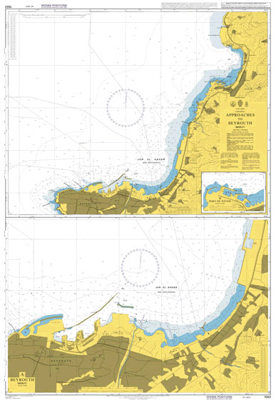
NEW EDITION OUT ON 30/09/2021Admiralty standard nautical charts comply with Safety of Life at Sea (SOLAS) regulations and are ideal for professional, commercial and recreational use. Charts within the series consist of a range of scales, useful for passage planning, ocean crossings, coastal navigation and entering port.Standard Admiralty charts are folded to fit in a
Admiralty Chart 3986 – Hon Khoai to Mui Ke Ga
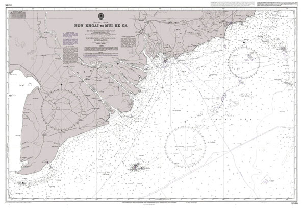
Admiralty standard nautical charts comply with Safety of Life at Sea (SOLAS) regulations and are ideal for professional, commercial and recreational use. Charts within the series consist of a range of scales, useful for passage planning, ocean crossings, coastal navigation and entering port.Standard Admiralty charts are folded to fit in a chart table drawer. If
Admiralty Chart 1178 – Approaches to the Bristol Channel
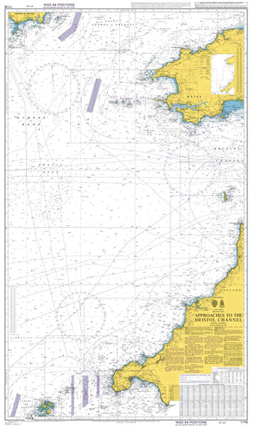
NEW EDITION OUT ON 01/04/2021Admiralty standard nautical charts comply with Safety of Life at Sea (SOLAS) regulations and are ideal for professional, commercial and recreational use. Charts within the series consist of a range of scales, useful for passage planning, ocean crossings, coastal navigation and entering port.Standard Admiralty charts are folded to fit in a
Admiralty Chart 2600 – Mona Passage to Dominica
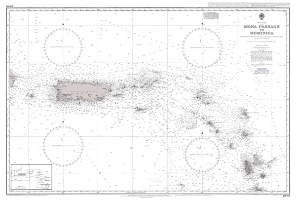
Admiralty standard nautical charts comply with Safety of Life at Sea (SOLAS) regulations and are ideal for professional, commercial and recreational use. Charts within the series consist of a range of scales, useful for passage planning, ocean crossings, coastal navigation and entering port.Standard Admiralty charts are folded to fit in a chart table drawer. If
Admiralty Chart 2254 – Valentia Island to River Shannon
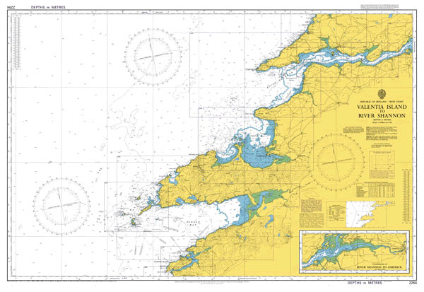
NEW EDITION OUT ON 19/11/2020Admiralty standard nautical charts comply with Safety of Life at Sea (SOLAS) regulations and are ideal for professional, commercial and recreational use. Charts within the series consist of a range of scales, useful for passage planning, ocean crossings, coastal navigation and entering port.Standard Admiralty charts are folded to fit in a
Admiralty Chart 143 – Jazirat at Ta`ir to Bab el Mandeb
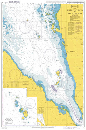
Admiralty standard nautical charts comply with Safety of Life at Sea (SOLAS) regulations and are ideal for professional, commercial and recreational use. Charts within the series consist of a range of scales, useful for passage planning, ocean crossings, coastal navigation and entering port.Standard Admiralty charts are folded to fit in a chart table drawer. If
Admiralty Chart 2173 – Loop Head to Slyne Head

NEW EDITION OUT ON 19/11/2020Admiralty standard nautical charts comply with Safety of Life at Sea (SOLAS) regulations and are ideal for professional, commercial and recreational use. Charts within the series consist of a range of scales, useful for passage planning, ocean crossings, coastal navigation and entering port.Standard Admiralty charts are folded to fit in a
Admiralty Chart 1176 – Severn Estuary Steep Holm to Avonmouth
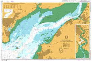
NEW EDITION OUT ON 27/05/2021Admiralty standard nautical charts comply with Safety of Life at Sea (SOLAS) regulations and are ideal for professional, commercial and recreational use. Charts within the series consist of a range of scales, useful for passage planning, ocean crossings, coastal navigation and entering port.Standard Admiralty charts are folded to fit in a
Admiralty Routeing Chart 5124(8) – N Atlantic – August
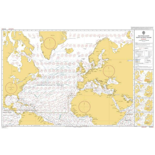
NEW EDITION OUT ON 18/02/2021Essential for use in passage planning for ocean voyages, Routeing Charts include routes and distances between major ports, ocean currents, ice limits, load lines and wind roses. They also contain expected meteorological and oceanographic conditions for each month of the year.Individual chart scales of 1:5,000,000, 1:10,000,000 and 1:20,000,000 assist bridge crews
Admiralty Chart 943 – Molucca Sea to Manila Bay
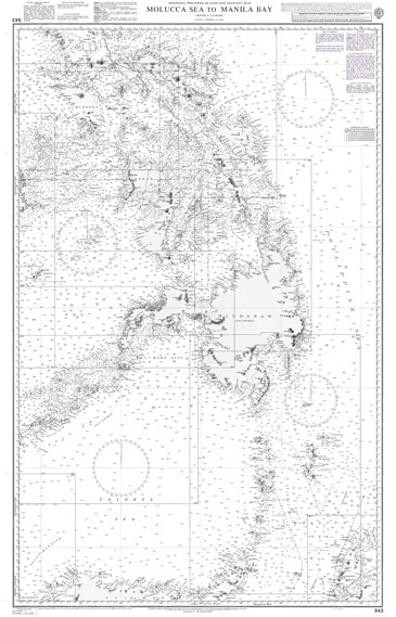
Admiralty standard nautical charts comply with Safety of Life at Sea (SOLAS) regulations and are ideal for professional, commercial and recreational use. Charts within the series consist of a range of scales, useful for passage planning, ocean crossings, coastal navigation and entering port.Standard Admiralty charts are folded to fit in a chart table drawer. If
Admiralty Chart 3289 – Bonny River, Port of Onne and Notore Channel

Admiralty standard nautical charts comply with Safety of Life at Sea (SOLAS) regulations and are ideal for professional, commercial and recreational use. Charts within the series consist of a range of scales, useful for passage planning, ocean crossings, coastal navigation and entering port. Standard Admiralty charts are folded to fit in a chart table drawer.
Admiralty Chart 1955 – Ports in the Yemen
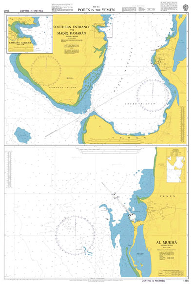
Admiralty standard nautical charts comply with Safety of Life at Sea (SOLAS) regulations and are ideal for professional, commercial and recreational use. Charts within the series consist of a range of scales, useful for passage planning, ocean crossings, coastal navigation and entering port.Standard Admiralty charts are folded to fit in a chart table drawer. If
Admiralty Chart 2577 – Jeddah (Mina`al Jeddah)
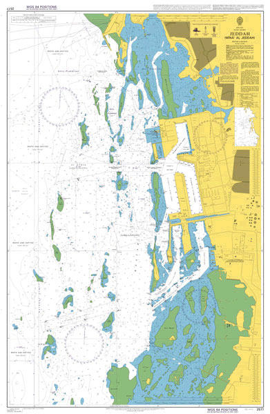
Admiralty standard nautical charts comply with Safety of Life at Sea (SOLAS) regulations and are ideal for professional, commercial and recreational use. Charts within the series consist of a range of scales, useful for passage planning, ocean crossings, coastal navigation and entering port.Standard Admiralty charts are folded to fit in a chart table drawer. If
Admiralty Chart 3711 – Cape Adare to Cape Daniell
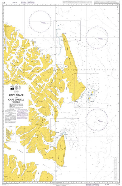
Admiralty standard nautical charts comply with Safety of Life at Sea (SOLAS) regulations and are ideal for professional, commercial and recreational use. Charts within the series consist of a range of scales, useful for passage planning, ocean crossings, coastal navigation and entering port.Standard Admiralty charts are folded to fit in a chart table drawer. If
Admiralty Chart 3737 – Approaches to Bahrain
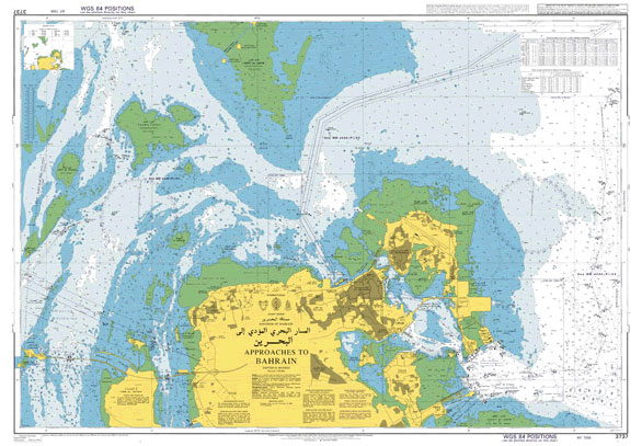
Admiralty standard nautical charts comply with Safety of Life at Sea (SOLAS) regulations and are ideal for professional, commercial and recreational use. Charts within the series consist of a range of scales, useful for passage planning, ocean crossings, coastal navigation and entering port.Standard Admiralty charts are folded to fit in a chart table drawer. If
Admiralty Chart 3714 – Cape Adare and Cape Hallett
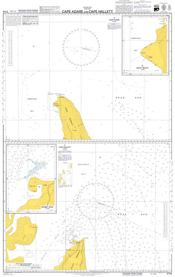
Admiralty standard nautical charts comply with Safety of Life at Sea (SOLAS) regulations and are ideal for professional, commercial and recreational use. Charts within the series consist of a range of scales, useful for passage planning, ocean crossings, coastal navigation and entering port.Standard Admiralty charts are folded to fit in a chart table drawer. If


