Category Archives: Non-Fiction & Reference
Admiralty Routeing Chart 5125(6) – S Atlantic – June
NEW EDITION OUT ON 25/02/2021Essential for use in passage planning for ocean voyages, Routeing Charts include routes and distances between major ports, ocean currents, ice limits, load lines and wind roses. They also contain expected meteorological and oceanographic conditions for each month of the year.Individual chart scales of 1:5,000,000, 1:10,000,000 and 1:20,000,000 assist bridge crews
Admiralty Routeing Chart 5125(7) – S Atlantic – July
NEW EDITION OUT ON 25/02/2021Essential for use in passage planning for ocean voyages, Routeing Charts include routes and distances between major ports, ocean currents, ice limits, load lines and wind roses. They also contain expected meteorological and oceanographic conditions for each month of the year.Individual chart scales of 1:5,000,000, 1:10,000,000 and 1:20,000,000 assist bridge crews
Admiralty Routeing Chart 5125(8) – S Atlantic – August
NEW EDITION OUT ON 25/02/2021Essential for use in passage planning for ocean voyages, Routeing Charts include routes and distances between major ports, ocean currents, ice limits, load lines and wind roses. They also contain expected meteorological and oceanographic conditions for each month of the year.Individual chart scales of 1:5,000,000, 1:10,000,000 and 1:20,000,000 assist bridge crews
Admiralty Routeing Chart 5125(12) – S Atlantic – December
NEW EDITION OUT ON 25/02/2021Essential for use in passage planning for ocean voyages, Routeing Charts include routes and distances between major ports, ocean currents, ice limits, load lines and wind roses. They also contain expected meteorological and oceanographic conditions for each month of the year.Individual chart scales of 1:5,000,000, 1:10,000,000 and 1:20,000,000 assist bridge crews
Admiralty Routeing Chart 5126(1) – Indian Ocean – January
Essential for use in passage planning for ocean voyages, Routeing Charts include routes and distances between major ports, ocean currents, ice limits, load lines and wind roses. They also contain expected meteorological and oceanographic conditions for each month of the year.Individual chart scales of 1:5,000,000, 1:10,000,000 and 1:20,000,000 assist bridge crews in high-level route planning.Information
Personal Seatime Logbook
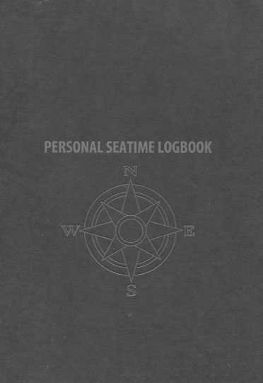
This log is designed as a general logbook for the verification of service at sea for all types of vessels and for all verification purposes. The booklet has space for 118 entries and is intended to record the details of service in any capacity, recreational and commercial, full time and part time, in a form
Admiralty Routeing Chart 5126(3) – Indian Ocean – March
Essential for use in passage planning for ocean voyages, Routeing Charts include routes and distances between major ports, ocean currents, ice limits, load lines and wind roses. They also contain expected meteorological and oceanographic conditions for each month of the year.Individual chart scales of 1:5,000,000, 1:10,000,000 and 1:20,000,000 assist bridge crews in high-level route planning.Information
Fire Safety Log Book

This Fire Safety Log Book covers IMO/US Coast Guard fire drill and training recommendations. Providing entry space in a grid-table format for: fire safety advice, fire alarm systems, firefighting equipment, emergency lighting systems, record of tests, fire instructions and fire drills.Edition Date: 2015
Admiralty Routeing Chart 5126(4) – Indian Ocean – April
Essential for use in passage planning for ocean voyages, Routeing Charts include routes and distances between major ports, ocean currents, ice limits, load lines and wind roses. They also contain expected meteorological and oceanographic conditions for each month of the year.Individual chart scales of 1:5,000,000, 1:10,000,000 and 1:20,000,000 assist bridge crews in high-level route planning.Information
Compass Observation Log Book
Admiralty Routeing Chart 5126(7) – Indian Ocean – July
Essential for use in passage planning for ocean voyages, Routeing Charts include routes and distances between major ports, ocean currents, ice limits, load lines and wind roses. They also contain expected meteorological and oceanographic conditions for each month of the year.Individual chart scales of 1:5,000,000, 1:10,000,000 and 1:20,000,000 assist bridge crews in high-level route planning.Information
The Cruising Log

The Cruising Log book provides ample space for recording information about your nautical excursions. It also contains a guest registry and quick reference pages that provide information on such topics as: rules of the road, radio procedures, distress signals and weather references.Every boat captain needs a log book on board to record critical information. The
Admiralty Routeing Chart 5126(8) – Indian Ocean – August
Essential for use in passage planning for ocean voyages, Routeing Charts include routes and distances between major ports, ocean currents, ice limits, load lines and wind roses. They also contain expected meteorological and oceanographic conditions for each month of the year.Individual chart scales of 1:5,000,000, 1:10,000,000 and 1:20,000,000 assist bridge crews in high-level route planning.Information
The Sportfishing Log
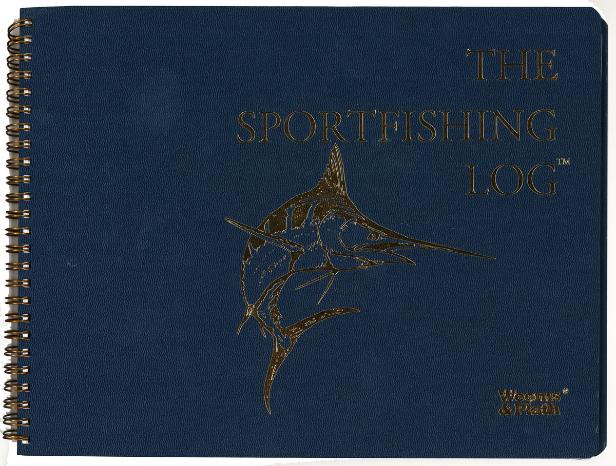
The Sport fishing Log book is designed for recording pertinent information about every fishing excursion. Pages include: anglers trip logs for recording sea conditions, Loran coordinates, water temperature, hot spots and catch records. Additional pages are provided for recording vessel specifications and common courses, as well as quick reference pages on topics such as: flag
The Maintenance Log

The Maintenance Log includes ample space to list vessel specifications, spare part numbers, repairs and maintenance, as well as space for reference drawings. This boat maintenance log also includes quick reference pages on safety, weather, BIA certification requirements and more.This boat maintenance log has an attractive, embossed cover made of heavy, flexible waterproof material. Its
The Ship`s Log

The Ship Log book includes a diary type format consisting of lined pages for recording ship data and activities. It also contains a guest register, vessel specifications and serial number list pages, as well as quick reference pages on topics including: rules of the road, weather references, radio procedures and more.Every boat captain needs a
Admiralty Chart 3103 – Port d`Abidjan

NEW EDITION OUT ON 23/09/2021Admiralty standard nautical charts comply with Safety of Life at Sea (SOLAS) regulations and are ideal for professional, commercial and recreational use. Charts within the series consist of a range of scales, useful for passage planning, ocean crossings, coastal navigation and entering port.Standard Admiralty charts are folded to fit in a
Admiralty Chart 414 – Puerto de la Habana
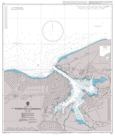
NEW EDITION OUT ON 01/04/2021Admiralty standard nautical charts comply with Safety of Life at Sea (SOLAS) regulations and are ideal for professional, commercial and recreational use. Charts within the series consist of a range of scales, useful for passage planning, ocean crossings, coastal navigation and entering port.Standard Admiralty charts are folded to fit in a
Admiralty Chart 2942 – Kieler Bucht

NEW EDITION OUT ON 14/10/2021Admiralty standard nautical charts comply with Safety of Life at Sea (SOLAS) regulations and are ideal for professional, commercial and recreational use. Charts within the series consist of a range of scales, useful for passage planning, ocean crossings, coastal navigation and entering port.Standard Admiralty charts are folded to fit in a
Admiralty Chart AUS807 – Montague Island to Jervis Bay

Admiralty standard nautical charts comply with Safety of Life at Sea (SOLAS) regulations and are ideal for professional, commercial and recreational use. Charts within the series consist of a range of scales, useful for passage planning, ocean crossings, coastal navigation and entering port.Standard Admiralty charts are folded to fit in a chart table drawer. If


