Category Archives: Non-Fiction & Reference
NV Atlas Serie 6 – Poland, Lithuania, Latvia
Admiralty Chart 1306 – Huaniao Shan to Sanxing Shan
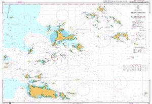
NEW EDITION OUT ON 21/10/2021Admiralty standard nautical charts comply with Safety of Life at Sea (SOLAS) regulations and are ideal for professional, commercial and recreational use. Charts within the series consist of a range of scales, useful for passage planning, ocean crossings, coastal navigation and entering port.Standard Admiralty charts are folded to fit in a
Reg 3.1 Rhode Is to Nantucket Sound
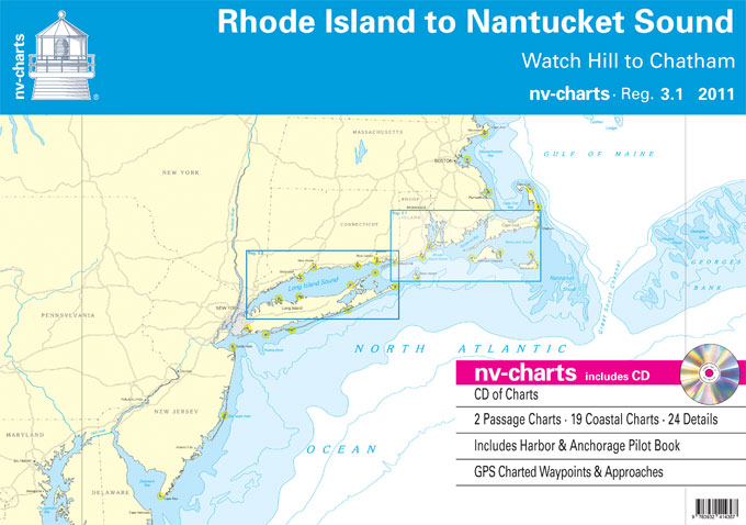
Passage ChartsC0 New York to Boston 1: 1,300,000 C1 Rhode Island and Nantucket Sound 1: 340,000 Coastal ChartsC2 Block Island Sound 1: 100,000 C3 Rhode Island Sound 1: 100,000 C4 Narragansett Bay 1: 100,000 C5 Buzzards Bay 1: 100,000 C6 Marthaยดs Vineyard 1: 100,000 C7 Nantucket Sound 1: 100,000 C9 Narragansett Bay North 1: 45,000
Admiralty Chart 1105 – Approaches to Guaymas

NEW EDITION OUT ON 11/02/2021Admiralty standard nautical charts comply with Safety of Life at Sea (SOLAS) regulations and are ideal for professional, commercial and recreational use. Charts within the series consist of a range of scales, useful for passage planning, ocean crossings, coastal navigation and entering port.Standard Admiralty charts are folded to fit in a
Reg 6.2 S Carolina & Georgia Coast

Passage ChartsC1 Morehead City to Daytona Beach 1: 1,300,000 C2 Cape Fear to Georgetown 1: 340,000 C3 Georgetown to Beaufort 1: 340,000 C4 Beaufort to Cumberland Island 1: 340,000 Coastal and Detail ChartsC5 Cape Fear River to Shallotte Inlet 1: 40,000 C6 Little River Inlet to North Myrtle Beach 1: 40,000 C7 Waccamaw River 1:
Admiralty Chart 2319 – Bahia de Buenaventura

Admiralty standard nautical charts comply with Safety of Life at Sea (SOLAS) regulations and are ideal for professional, commercial and recreational use. Charts within the series consist of a range of scales, useful for passage planning, ocean crossings, coastal navigation and entering port.Standard Admiralty charts are folded to fit in a chart table drawer. If
Jamaican Registry Official Logbook And Crew List

Jamaican Registry Official Logbook And Crew List is for Jamaican Ships no less than 200 Gross Tons engaged on International Voyages. This logbook provides a variety of log entries, with instructions for each type of log table included. Including log-tables for:List of crew and report of character;Births of members of the crew and other persons
Admiralty Chart 4618 – Ile Clipperton to Archipielago de Colon
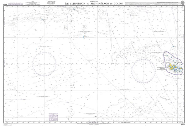
NEW EDITION OUT ON 09/12/2021Admiralty standard nautical charts comply with Safety of Life at Sea (SOLAS) regulations and are ideal for professional, commercial and recreational use. Charts within the series consist of a range of scales, useful for passage planning, ocean crossings, coastal navigation and entering port.Standard Admiralty charts are folded to fit in a
Admiralty Chart 4775 – Pointe de Moisie To Ile du Grand Caoui

Admiralty standard nautical charts comply with Safety of Life at Sea (SOLAS) regulations and are ideal for professional, commercial and recreational use. Charts within the series consist of a range of scales, useful for passage planning, ocean crossings, coastal navigation and entering port.Standard Admiralty charts are folded to fit in a chart table drawer. If
Admiralty Chart 4801 – Mexican Border to Dixon Entrance

NEW EDITION OUT ON 24/09/2020Admiralty standard nautical charts comply with Safety of Life at Sea (SOLAS) regulations and are ideal for professional, commercial and recreational use. Charts within the series consist of a range of scales, useful for passage planning, ocean crossings, coastal navigation and entering port.Standard Admiralty charts are folded to fit in a
Admiralty Chart 4806 – San Francisco and Vancouver Island to Mendocino Fracture Zone
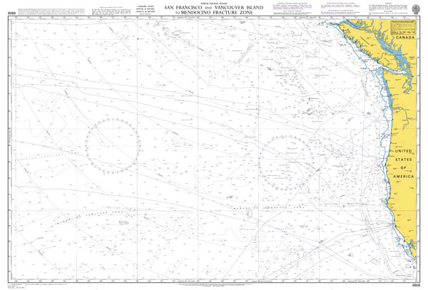
Admiralty standard nautical charts comply with Safety of Life at Sea (SOLAS) regulations and are ideal for professional, commercial and recreational use. Charts within the series consist of a range of scales, useful for passage planning, ocean crossings, coastal navigation and entering port.Standard Admiralty charts are folded to fit in a chart table drawer. If
Admiralty Chart 4975 – Dixon Entrance to Cape Saint Elias

Admiralty standard nautical charts comply with Safety of Life at Sea (SOLAS) regulations and are ideal for professional, commercial and recreational use. Charts within the series consist of a range of scales, useful for passage planning, ocean crossings, coastal navigation and entering port.Standard Admiralty charts are folded to fit in a chart table drawer. If
UK Red Ensign – 1yd – Sewn
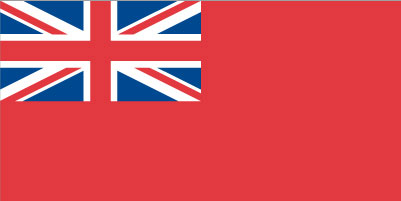
We are able to source a wide range of courtesy flags. Flags are available in many sizes and can be sewn or printed on 100% Ministry Of Defence Standard Woven and Knitted Polyester. Flags are supplied with rope and toggleIf you would like more information, have a custom size request or cannot find a desired
Ireland Flag – 1 yard – Sewn
We are able to source a wide range of courtesy flags. Flags are available in many sizes and can be sewn or printed on 100% Ministry Of Defence Standard Woven and Knitted Polyester. Flags are supplied with rope and toggle. If you would like more information, have a custom size request or cannot find a
Quarantine flag – 18 x 12 inch – sewn

We are able to source a wide range of courtesy flags. Flags are available in many sizes and can be sewn or printed on 100% Ministry Of Defence Standard Woven and Knitted Polyester. Flags are supplied with rope and toggle. If you would like more information, have a custom size request or cannot find a
Portugal flag – 1 yard – sewn

We are able to source a wide range of courtesy flags. Flags are available in many sizes and can be sewn or printed on 100% Ministry Of Defence Standard Woven and Knitted Polyester. Flags are supplied with rope and toggle. If you would like more information, have a custom size request or cannot find a
Admiralty Routeing Chart 5146(10) – Mediterranean and Black Seas Routeing Chart – October

NEW EDITION OUT ON 09/01/2020Essential for use in passage planning for ocean voyages, Routeing Charts include routes and distances between major ports, ocean currents, ice limits, load lines and wind roses. They also contain expected meteorological and oceanographic conditions for each month of the year.Individual chart scales of 1:5,000,000, 1:10,000,000 and 1:20,000,000 assist bridge crews
Admiralty Chart 1106 – Mazatlan
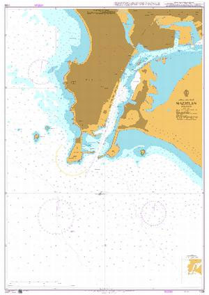
Admiralty standard nautical charts comply with Safety of Life at Sea (SOLAS) regulations and are ideal for professional, commercial and recreational use. Charts within the series consist of a range of scales, useful for passage planning, ocean crossings, coastal navigation and entering port.Standard Admiralty charts are folded to fit in a chart table drawer. If
Admiralty Routeing Chart 5146(11) – Mediterranean and Black Seas Routeing Chart – November

NEW EDITION OUT ON 09/01/2020Essential for use in passage planning for ocean voyages, Routeing Charts include routes and distances between major ports, ocean currents, ice limits, load lines and wind roses. They also contain expected meteorological and oceanographic conditions for each month of the year.Individual chart scales of 1:5,000,000, 1:10,000,000 and 1:20,000,000 assist bridge crews
Admiralty Chart 1303 – Nanhui Zui to Huoshan Liedao

NEW EDITION OUT ON 27/08/2020Admiralty standard nautical charts comply with Safety of Life at Sea (SOLAS) regulations and are ideal for professional, commercial and recreational use. Charts within the series consist of a range of scales, useful for passage planning, ocean crossings, coastal navigation and entering port.Standard Admiralty charts are folded to fit in a


