Category Archives: Non-Fiction & Reference
SEMAR Chart 513.2 – Puerto Lazaro Cardenas
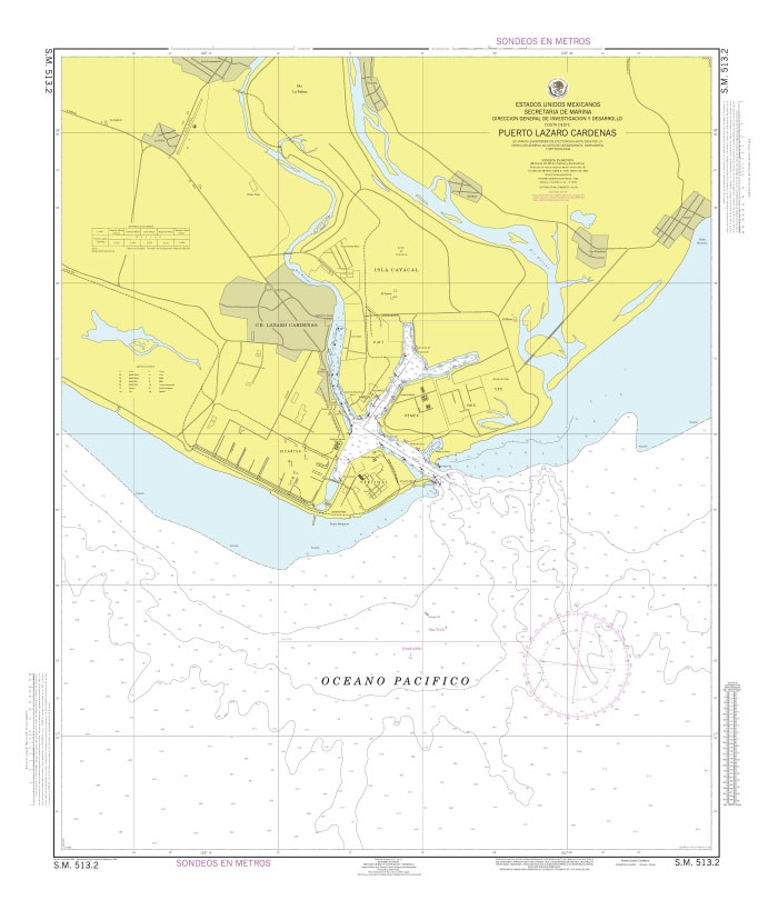
Official Mexican Hydrographic Office charts (SEMAR – Secretarรญa de Marina Armada de Mรฉxico) offer a great range of scales for ports along the Mexico`s Pacific coast. Available to order from Stanfords. Also available: – General and Regional charts of Mexico – Charts for ports along the Gulf of Mexico and the Caribbean coast For more
SEMAR Chart 513.3 – Lazaro Cardenas, Michoacan
Official Mexican Hydrographic Office charts (SEMAR – Secretarรญa de Marina Armada de Mรฉxico) offer a great range of scales for ports along the Mexico`s Pacific coast. Available to order from Stanfords. Also available: – General and Regional charts of Mexico – Charts for ports along the Gulf of Mexico and the Caribbean coast For more
SEMAR Chart 513.4 – Caleta de Campos, Michoacan
Official Mexican Hydrographic Office charts (SEMAR – Secretarรญa de Marina Armada de Mรฉxico) offer a great range of scales for ports along the Mexico`s Pacific coast. Available to order from Stanfords. Also available: – General and Regional charts of Mexico – Charts for ports along the Gulf of Mexico and the Caribbean coast For more
SEMAR Chart 521.2 – Ixtapa-Zihuatanejo
Official Mexican Hydrographic Office charts (SEMAR – Secretarรญa de Marina Armada de Mรฉxico) offer a great range of scales for ports along the Mexico`s Pacific coast. Available to order from Stanfords. Also available: – General and Regional charts of Mexico – Charts for ports along the Gulf of Mexico and the Caribbean coast For more
SEMAR Chart 521.3 – Bahia de Isla Grande
Official Mexican Hydrographic Office charts (SEMAR – Secretarรญa de Marina Armada de Mรฉxico) offer a great range of scales for ports along the Mexico`s Pacific coast. Available to order from Stanfords. Also available: – General and Regional charts of Mexico – Charts for ports along the Gulf of Mexico and the Caribbean coast For more
SEMAR Chart 521.4 – Bahia de Zihuatanejo
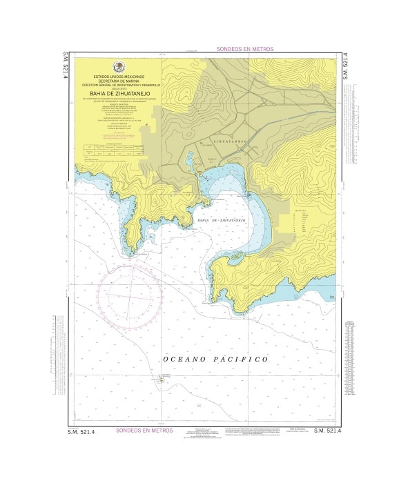
Official Mexican Hydrographic Office charts (SEMAR – Secretarรญa de Marina Armada de Mรฉxico) offer a great range of scales for ports along the Mexico`s Pacific coast. Available to order from Stanfords. Also available: – General and Regional charts of Mexico – Charts for ports along the Gulf of Mexico and the Caribbean coast For more
SEMAR Chart 522.1 – Puerto Vicente Guerrero
Official Mexican Hydrographic Office charts (SEMAR – Secretarรญa de Marina Armada de Mรฉxico) offer a great range of scales for ports along the Mexico`s Pacific coast. Available to order from Stanfords. Also available: – General and Regional charts of Mexico – Charts for ports along the Gulf of Mexico and the Caribbean coast For more
SEMAR Chart 523 – Cayaco to San Marcos
Official Mexican Hydrographic Office charts (SEMAR – Secretarรญa de Marina Armada de Mรฉxico) offer a great range of scales for ports along the Mexico`s Pacific coast. Available to order from Stanfords. Also available: – General and Regional charts of Mexico – Charts for ports along the Gulf of Mexico and the Caribbean coast For more
SEMAR Chart 511 – Bahia de Navidad to Boca de Apiza
Official Mexican Hydrographic Office charts (SEMAR – Secretarรญa de Marina Armada de Mรฉxico) offer a great range of scales for ports along the Mexico`s Pacific coast. Available to order from Stanfords. Also available: – General and Regional charts of Mexico – Charts for ports along the Gulf of Mexico and the Caribbean coast For more
SEMAR Chart 523.2 – Acapulco and Approaches
Official Mexican Hydrographic Office charts (SEMAR – Secretarรญa de Marina Armada de Mรฉxico) offer a great range of scales for ports along the Mexico`s Pacific coast. Available to order from Stanfords. Also available: – General and Regional charts of Mexico – Charts for ports along the Gulf of Mexico and the Caribbean coast For more
SEMAR Chart 511.3 – Manzanillo, Colima
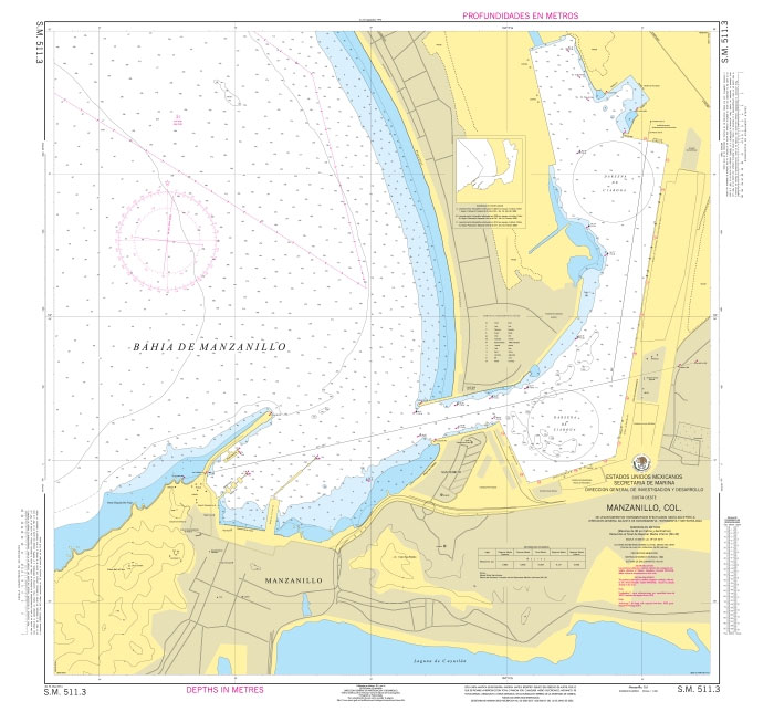
Official Mexican Hydrographic Office charts (SEMAR – Secretarรญa de Marina Armada de Mรฉxico) offer a great range of scales for ports along the Mexico`s Pacific coast. Available to order from Stanfords. Also available: – General and Regional charts of Mexico – Charts for ports along the Gulf of Mexico and the Caribbean coast For more
SEMAR Chart 523.3 – Acapulco
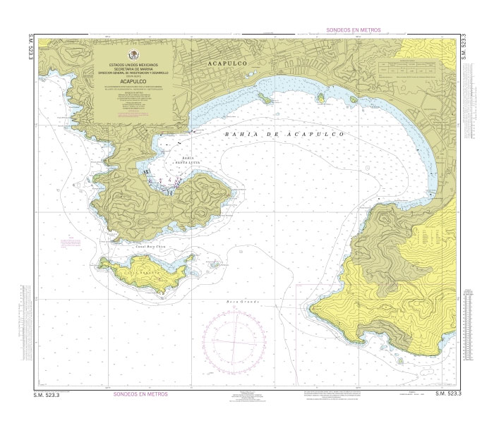
Official Mexican Hydrographic Office charts (SEMAR – Secretarรญa de Marina Armada de Mรฉxico) offer a great range of scales for ports along the Mexico`s Pacific coast. Available to order from Stanfords. Also available: – General and Regional charts of Mexico – Charts for ports along the Gulf of Mexico and the Caribbean coast For more
Admiralty Chart 2640 – Ports in Teluk Bone
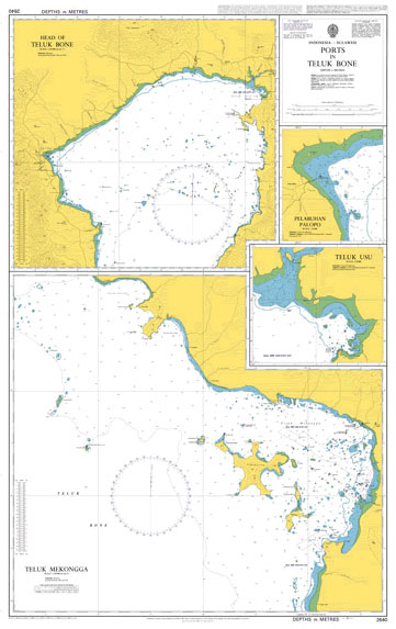
Admiralty standard nautical charts comply with Safety of Life at Sea (SOLAS) regulations and are ideal for professional, commercial and recreational use. Charts within the series consist of a range of scales, useful for passage planning, ocean crossings, coastal navigation and entering port.Standard Admiralty charts are folded to fit in a chart table drawer. If
SEMAR Chart 523.4 – Puerto Marquez
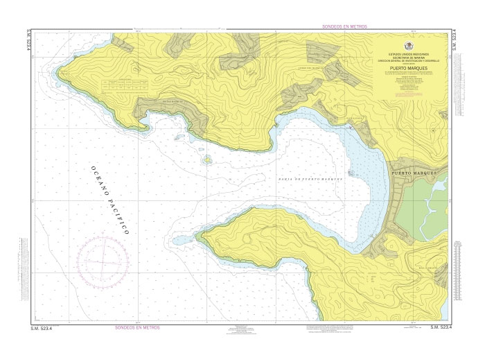
Official Mexican Hydrographic Office charts (SEMAR – Secretarรญa de Marina Armada de Mรฉxico) offer a great range of scales for ports along the Mexico`s Pacific coast. Available to order from Stanfords. Also available: – General and Regional charts of Mexico – Charts for ports along the Gulf of Mexico and the Caribbean coast For more
Admiralty Chart 2791 – Plans in the Banda Sea

Admiralty standard nautical charts comply with Safety of Life at Sea (SOLAS) regulations and are ideal for professional, commercial and recreational use. Charts within the series consist of a range of scales, useful for passage planning, ocean crossings, coastal navigation and entering port.Standard Admiralty charts are folded to fit in a chart table drawer. If
SEMAR Chart 523.5 – Isla la Roqueta
Official Mexican Hydrographic Office charts (SEMAR – Secretarรญa de Marina Armada de Mรฉxico) offer a great range of scales for ports along the Mexico`s Pacific coast. Available to order from Stanfords. Also available: – General and Regional charts of Mexico – Charts for ports along the Gulf of Mexico and the Caribbean coast For more
Admiralty Chart 2795 – Madura to Pulau Laut

Admiralty standard nautical charts comply with Safety of Life at Sea (SOLAS) regulations and are ideal for professional, commercial and recreational use. Charts within the series consist of a range of scales, useful for passage planning, ocean crossings, coastal navigation and entering port.Standard Admiralty charts are folded to fit in a chart table drawer. If
Admiralty Chart 2796 – Semarang to Pulau-Pulau Sapudi
Admiralty standard nautical charts comply with Safety of Life at Sea (SOLAS) regulations and are ideal for professional, commercial and recreational use. Charts within the series consist of a range of scales, useful for passage planning, ocean crossings, coastal navigation and entering port.Standard Admiralty charts are folded to fit in a chart table drawer. If
SEMAR Chart 421.4 – Puerto Vallarta, Jalisco
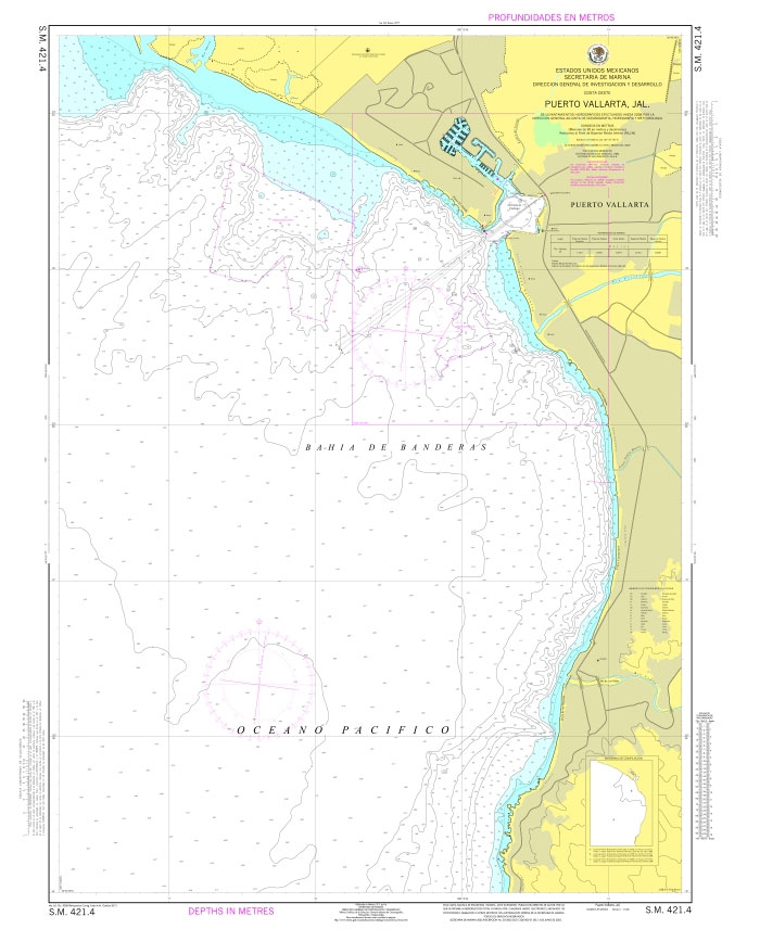
Official Mexican Hydrographic Office charts (SEMAR – Secretarรญa de Marina Armada de Mรฉxico) offer a great range of scales for ports along the Mexico`s Pacific coast. Available to order from Stanfords. Also available: – General and Regional charts of Mexico – Charts for ports along the Gulf of Mexico and the Caribbean coast For more
SEMAR Chart 421.4A Canal de Acceso to Puerto Vallarta, Jalisco
Official Mexican Hydrographic Office charts (SEMAR – Secretarรญa de Marina Armada de Mรฉxico) offer a great range of scales for ports along the Mexico`s Pacific coast. Available to order from Stanfords. Also available: – General and Regional charts of Mexico – Charts for ports along the Gulf of Mexico and the Caribbean coast For more


