Category Archives: Non-Fiction & Reference
SEMAR Chart 634.2 – Canal de Acceso to Puerto Chiapas
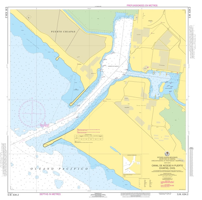
Official Mexican Hydrographic Office charts (SEMAR – Secretarรญa de Marina Armada de Mรฉxico) offer a great range of scales for ports along the Mexico`s Pacific coast. Available to order from Stanfords. Also available: – General and Regional charts of Mexico – Charts for ports along the Gulf of Mexico and the Caribbean coast For more
SEMAR Chart 634.4 – Puerto Chiapas to Boca de Rio Suchiate
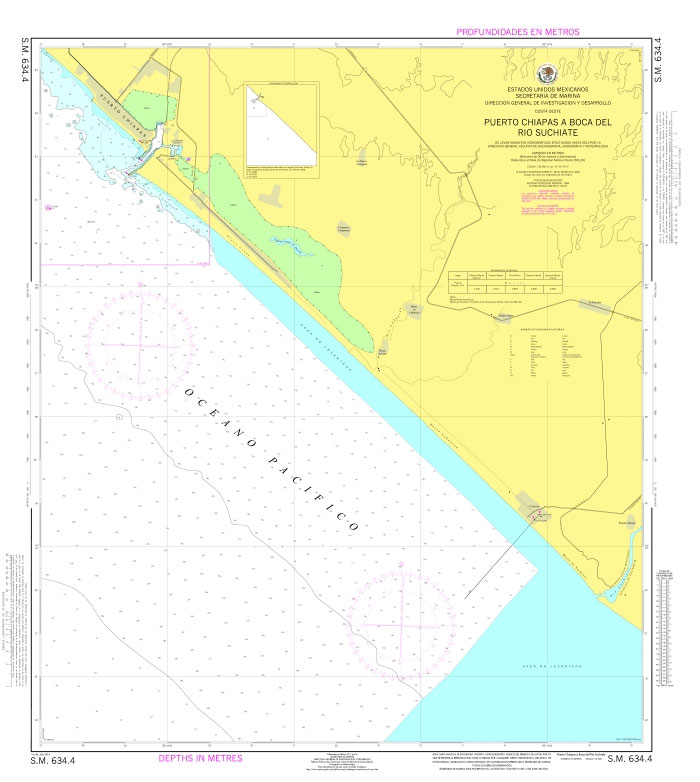
Official Mexican Hydrographic Office charts (SEMAR – Secretarรญa de Marina Armada de Mรฉxico) offer a great range of scales for ports along the Mexico`s Pacific coast. Available to order from Stanfords. Also available: – General and Regional charts of Mexico – Charts for ports along the Gulf of Mexico and the Caribbean coast For more
SEMAR Chart 612.3 – Bahia de Chacahua
Official Mexican Hydrographic Office charts (SEMAR – Secretarรญa de Marina Armada de Mรฉxico) offer a great range of scales for ports along the Mexico`s Pacific coast. Available to order from Stanfords. Also available: – General and Regional charts of Mexico – Charts for ports along the Gulf of Mexico and the Caribbean coast For more
SEMAR Chart 1501 – Valle de Bravo, Estado de Mexico (Lake Avandaro)
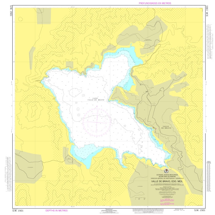
Lake Avandaro is a popular destination for watersports enthusiasts, close to Mexico City.Official Mexican Hydrographic Office charts (SEMAR – Secretarรญa de Marina Armada de Mรฉxico) offer a great range of scales for ports along the Mexico`s Pacific coast. Available to order from Stanfords. Also available: – General and Regional charts of Mexico – Charts for
SEMAR Chart 612.4 – Corralero, Oaxaca
Official Mexican Hydrographic Office charts (SEMAR – Secretarรญa de Marina Armada de Mรฉxico) offer a great range of scales for ports along the Mexico`s Pacific coast. Available to order from Stanfords. Also available: – General and Regional charts of Mexico – Charts for ports along the Gulf of Mexico and the Caribbean coast For more
Admiralty Chart 2916 – Pulau Sermata to Pulau Larat
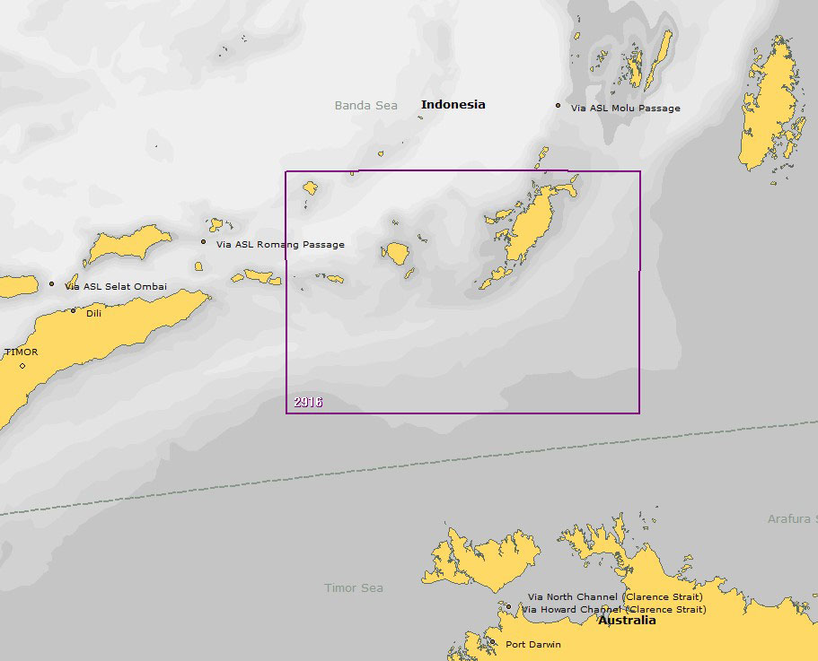
Admiralty standard nautical charts comply with Safety of Life at Sea (SOLAS) regulations and are ideal for professional, commercial and recreational use. Charts within the series consist of a range of scales, useful for passage planning, ocean crossings, coastal navigation and entering port.Standard Admiralty charts are folded to fit in a chart table drawer. If
SEMAR Chart 621.2 – Puerto Escondido, Oaxaca
Official Mexican Hydrographic Office charts (SEMAR – Secretarรญa de Marina Armada de Mรฉxico) offer a great range of scales for ports along the Mexico`s Pacific coast. Available to order from Stanfords. Also available: – General and Regional charts of Mexico – Charts for ports along the Gulf of Mexico and the Caribbean coast For more
SEMAR Chart 710 – Matamoros to La Pesca
Official Mexican Hydrographic Office charts (SEMAR – Secretarรญa de Marina Armada de Mรฉxico) offer a great range of scales for ports along the Mexico Gulf and Mexico`s Caribbean coast. Available to order from Stanfords. Also available: – General and Regional charts of Mexico – Charts for ports along the Pacific coast of Mexico For more
SEMAR Chart 622.1 – Puerto Angel, Oaxaca
Official Mexican Hydrographic Office charts (SEMAR – Secretarรญa de Marina Armada de Mรฉxico) offer a great range of scales for ports along the Mexico`s Pacific coast. Available to order from Stanfords. Also available: – General and Regional charts of Mexico – Charts for ports along the Gulf of Mexico and the Caribbean coast For more
SEMAR Chart 711.3 – Puerto de Matamoros, Tamaulipas (El Mezquital)
Official Mexican Hydrographic Office charts (SEMAR – Secretarรญa de Marina Armada de Mรฉxico) offer a great range of scales for ports along the Mexico Gulf and Mexico`s Caribbean coast. Available to order from Stanfords. Also available: – General and Regional charts of Mexico – Charts for ports along the Pacific coast of Mexico For more
Admiralty Chart 2874 – Pulau Sawu to Sahul Banks
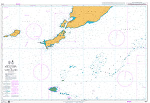
NEW EDITION ON 19/09/2019Admiralty standard nautical charts comply with Safety of Life at Sea (SOLAS) regulations and are ideal for professional, commercial and recreational use. Charts within the series consist of a range of scales, useful for passage planning, ocean crossings, coastal navigation and entering port.Standard Admiralty charts are folded to fit in a chart
SEMAR Chart 622.2 – Bahias de Huatulco and Approaches
Official Mexican Hydrographic Office charts (SEMAR – Secretarรญa de Marina Armada de Mรฉxico) offer a great range of scales for ports along the Mexico`s Pacific coast. Available to order from Stanfords. Also available: – General and Regional charts of Mexico – Charts for ports along the Gulf of Mexico and the Caribbean coast For more
SEMAR Chart 622.3 – Bahia San Augustin to Bahia Maguey
Official Mexican Hydrographic Office charts (SEMAR – Secretarรญa de Marina Armada de Mรฉxico) offer a great range of scales for ports along the Mexico`s Pacific coast. Available to order from Stanfords. Also available: – General and Regional charts of Mexico – Charts for ports along the Gulf of Mexico and the Caribbean coast For more
SEMAR Chart 622.4 – Bahia Maguey to Bahia Conejos
Official Mexican Hydrographic Office charts (SEMAR – Secretarรญa de Marina Armada de Mรฉxico) offer a great range of scales for ports along the Mexico`s Pacific coast. Available to order from Stanfords. Also available: – General and Regional charts of Mexico – Charts for ports along the Gulf of Mexico and the Caribbean coast For more
SEMAR Chart 622.5 – Santa Cruz, Huatulco
Official Mexican Hydrographic Office charts (SEMAR – Secretarรญa de Marina Armada de Mรฉxico) offer a great range of scales for ports along the Mexico`s Pacific coast. Available to order from Stanfords. Also available: – General and Regional charts of Mexico – Charts for ports along the Gulf of Mexico and the Caribbean coast For more
SEMAR Chart 623.3 – Salina Cruz Approaches
Official Mexican Hydrographic Office charts (SEMAR – Secretarรญa de Marina Armada de Mรฉxico) offer a great range of scales for ports along the Mexico`s Pacific coast. Available to order from Stanfords. Also available: – General and Regional charts of Mexico – Charts for ports along the Gulf of Mexico and the Caribbean coast For more
SEMAR Chart 623.4 – Salina Cruz, Oaxaca
Official Mexican Hydrographic Office charts (SEMAR – Secretarรญa de Marina Armada de Mรฉxico) offer a great range of scales for ports along the Mexico`s Pacific coast. Available to order from Stanfords. Also available: – General and Regional charts of Mexico – Charts for ports along the Gulf of Mexico and the Caribbean coast For more
SEMAR Chart 511 – Bahia de Navidad to Boca de Apiza
Official Mexican Hydrographic Office charts (SEMAR – Secretarรญa de Marina Armada de Mรฉxico) offer a great range of scales for ports along the Mexico`s Pacific coast. Available to order from Stanfords. Also available: – General and Regional charts of Mexico – Charts for ports along the Gulf of Mexico and the Caribbean coast For more
SEMAR Chart 523.2 – Acapulco and Approaches
Official Mexican Hydrographic Office charts (SEMAR – Secretarรญa de Marina Armada de Mรฉxico) offer a great range of scales for ports along the Mexico`s Pacific coast. Available to order from Stanfords. Also available: – General and Regional charts of Mexico – Charts for ports along the Gulf of Mexico and the Caribbean coast For more


