Category Archives: Non-Fiction & Reference
SEMAR Chart 912.2 – Progreso – Yukalpeten
Official Mexican Hydrographic Office charts (SEMAR – Secretarรญa de Marina Armada de Mรฉxico) offer a great range of scales for ports along the Mexico Gulf and Mexico`s Caribbean coast. Available to order from Stanfords. Also available: – General and Regional charts of Mexico – Charts for ports along the Pacific coast of Mexico For more
SEMAR Chart 832.4 – Dos Bocas, Veracruz

Official Mexican Hydrographic Office charts (SEMAR – Secretarรญa de Marina Armada de Mรฉxico) offer a great range of scales for ports along the Mexico Gulf and Mexico`s Caribbean coast. Available to order from Stanfords. Also available: – General and Regional charts of Mexico – Charts for ports along the Pacific coast of Mexico For more
SEMAR Chart 912.3 – Yukalpeten

Official Mexican Hydrographic Office charts (SEMAR – Secretarรญa de Marina Armada de Mรฉxico) offer a great range of scales for ports along the Mexico Gulf and Mexico`s Caribbean coast. Available to order from Stanfords. Also available: – General and Regional charts of Mexico – Charts for ports along the Pacific coast of Mexico For more
SEMAR Chart 840 – Bahia de Campeche

Official Mexican Hydrographic Office charts (SEMAR – Secretarรญa de Marina Armada de Mรฉxico) offer a great range of scales for ports along the Mexico Gulf and Mexico`s Caribbean coast. Available to order from Stanfords. Also available: – General and Regional charts of Mexico – Charts for ports along the Pacific coast of Mexico For more
SEMAR Chart 912.4 – Terminal Remota de Progreso and Approaches

Official Mexican Hydrographic Office charts (SEMAR – Secretarรญa de Marina Armada de Mรฉxico) offer a great range of scales for ports along the Mexico Gulf and Mexico`s Caribbean coast. Available to order from Stanfords. Also available: – General and Regional charts of Mexico – Charts for ports along the Pacific coast of Mexico For more
SEMAR Chart 841.3 – Frontera, Tabasco and Approaches

Official Mexican Hydrographic Office charts (SEMAR – Secretarรญa de Marina Armada de Mรฉxico) offer a great range of scales for ports along the Mexico Gulf and Mexico`s Caribbean coast. Available to order from Stanfords. Also available: – General and Regional charts of Mexico – Charts for ports along the Pacific coast of Mexico For more
SEMAR Chart 912.5 – Terminal Remota de Progreso

Official Mexican Hydrographic Office charts (SEMAR – Secretarรญa de Marina Armada de Mรฉxico) offer a great range of scales for ports along the Mexico Gulf and Mexico`s Caribbean coast. Available to order from Stanfords. Also available: – General and Regional charts of Mexico – Charts for ports along the Pacific coast of Mexico For more
SEMAR Chart 842 – Laguna Pom a Santa Cruz

Official Mexican Hydrographic Office charts (SEMAR – Secretarรญa de Marina Armada de Mรฉxico) offer a great range of scales for ports along the Mexico Gulf and Mexico`s Caribbean coast. Available to order from Stanfords. Also available: – General and Regional charts of Mexico – Charts for ports along the Pacific coast of Mexico For more
Admiralty Chart 1638 – Plans in Northern Vanuatu
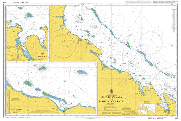
Admiralty standard nautical charts comply with Safety of Life at Sea (SOLAS) regulations and are ideal for professional, commercial and recreational use. Charts within the series consist of a range of scales, useful for passage planning, ocean crossings, coastal navigation and entering port.Standard Admiralty charts are folded to fit in a chart table drawer. If
SEMAR Chart 842.1 – Laguna de Terminos and Approaches
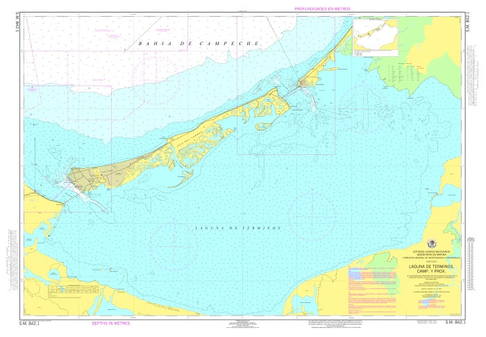
Official Mexican Hydrographic Office charts (SEMAR – Secretarรญa de Marina Armada de Mรฉxico) offer a great range of scales for ports along the Mexico Gulf and Mexico`s Caribbean coast. Available to order from Stanfords. Also available: – General and Regional charts of Mexico – Charts for ports along the Pacific coast of Mexico For more
SEMAR Chart 842.2 – Laguna de Terminos, West entrance
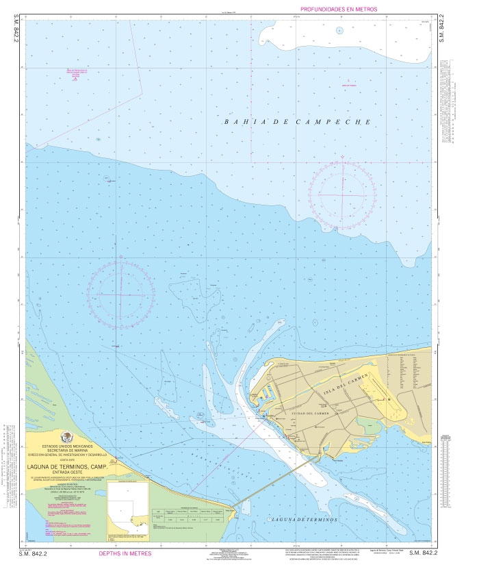
Official Mexican Hydrographic Office charts (SEMAR – Secretarรญa de Marina Armada de Mรฉxico) offer a great range of scales for ports along the Mexico Gulf and Mexico`s Caribbean coast. Available to order from Stanfords. Also available: – General and Regional charts of Mexico – Charts for ports along the Pacific coast of Mexico For more
SEMAR Chart 842.3 – Laguna de Terminos, East entrance

Official Mexican Hydrographic Office charts (SEMAR – Secretarรญa de Marina Armada de Mรฉxico) offer a great range of scales for ports along the Mexico Gulf and Mexico`s Caribbean coast. Available to order from Stanfords. Also available: – General and Regional charts of Mexico – Charts for ports along the Pacific coast of Mexico For more
SEMAR Chart 843.1 – Sabancuy, Campeche

Official Mexican Hydrographic Office charts (SEMAR – Secretarรญa de Marina Armada de Mรฉxico) offer a great range of scales for ports along the Mexico Gulf and Mexico`s Caribbean coast. Available to order from Stanfords. Also available: – General and Regional charts of Mexico – Charts for ports along the Pacific coast of Mexico For more
SEMAR Chart 852.2 – Cayo Arcas and Approaches

Official Mexican Hydrographic Office charts (SEMAR – Secretarรญa de Marina Armada de Mรฉxico) offer a great range of scales for ports along the Mexico Gulf and Mexico`s Caribbean coast. Available to order from Stanfords. Also available: – General and Regional charts of Mexico – Charts for ports along the Pacific coast of Mexico For more
SEMAR Chart 852.3 – Cayo Arcas, Campeche

Official Mexican Hydrographic Office charts (SEMAR – Secretarรญa de Marina Armada de Mรฉxico) offer a great range of scales for ports along the Mexico Gulf and Mexico`s Caribbean coast. Available to order from Stanfords. Also available: – General and Regional charts of Mexico – Charts for ports along the Pacific coast of Mexico For more
SEMAR Chart 853.1 – Seybaplaya, Campeche

Official Mexican Hydrographic Office charts (SEMAR – Secretarรญa de Marina Armada de Mรฉxico) offer a great range of scales for ports along the Mexico Gulf and Mexico`s Caribbean coast. Available to order from Stanfords. Also available: – General and Regional charts of Mexico – Charts for ports along the Pacific coast of Mexico For more
SEMAR Chart 853.2 – Lerma – Campeche

Official Mexican Hydrographic Office charts (SEMAR – Secretarรญa de Marina Armada de Mรฉxico) offer a great range of scales for ports along the Mexico Gulf and Mexico`s Caribbean coast. Available to order from Stanfords. Also available: – General and Regional charts of Mexico – Charts for ports along the Pacific coast of Mexico For more
SEMAR Chart 853.3 – Portulano de Lerma, Campeche

Official Mexican Hydrographic Office charts (SEMAR – Secretarรญa de Marina Armada de Mรฉxico) offer a great range of scales for ports along the Mexico Gulf and Mexico`s Caribbean coast. Available to order from Stanfords. Also available: – General and Regional charts of Mexico – Charts for ports along the Pacific coast of Mexico For more
SEMAR Chart 854.1 – Celestun

Official Mexican Hydrographic Office charts (SEMAR – Secretarรญa de Marina Armada de Mรฉxico) offer a great range of scales for ports along the Mexico Gulf and Mexico`s Caribbean coast. Available to order from Stanfords. Also available: – General and Regional charts of Mexico – Charts for ports along the Pacific coast of Mexico For more
Admiralty Chart NZ5612 – Napier Roads
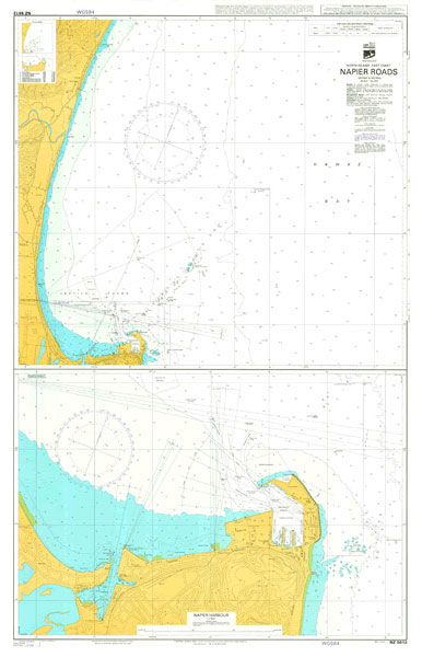
Admiralty standard nautical charts comply with Safety of Life at Sea (SOLAS) regulations and are ideal for professional, commercial and recreational use. Charts within the series consist of a range of scales, useful for passage planning, ocean crossings, coastal navigation and entering port.Standard Admiralty charts are folded to fit in a chart table drawer. If


