Category Archives: Non-Fiction & Reference
Admiralty Chart AUS799 – Stony Head to Rocky Cape
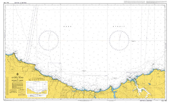
Admiralty standard nautical charts comply with Safety of Life at Sea (SOLAS) regulations and are ideal for professional, commercial and recreational use. Charts within the series consist of a range of scales, useful for passage planning, ocean crossings, coastal navigation and entering port.Standard Admiralty charts are folded to fit in a chart table drawer. If
Admiralty Chart AUS802 – Cape Liptrap to Cliffy Island
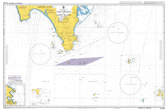
NEW EDITION OUT ON 17/09/2020Admiralty standard nautical charts comply with Safety of Life at Sea (SOLAS) regulations and are ideal for professional, commercial and recreational use. Charts within the series consist of a range of scales, useful for passage planning, ocean crossings, coastal navigation and entering port.Standard Admiralty charts are folded to fit in a
Admiralty Chart AUS806 – Cape Howe to Montague Island
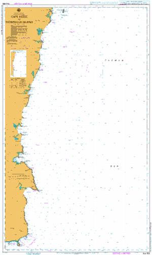
Admiralty standard nautical charts comply with Safety of Life at Sea (SOLAS) regulations and are ideal for professional, commercial and recreational use. Charts within the series consist of a range of scales, useful for passage planning, ocean crossings, coastal navigation and entering port.Standard Admiralty charts are folded to fit in a chart table drawer. If
Admiralty Chart AUS120 – Approaches to Thevenard

Admiralty standard nautical charts comply with Safety of Life at Sea (SOLAS) regulations and are ideal for professional, commercial and recreational use. Charts within the series consist of a range of scales, useful for passage planning, ocean crossings, coastal navigation and entering port.Standard Admiralty charts are folded to fit in a chart table drawer. If
Admiralty Chart 4620 – Percy Isles to Booby Island including Gulf of Papua
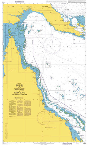
Admiralty standard nautical charts comply with Safety of Life at Sea (SOLAS) regulations and are ideal for professional, commercial and recreational use. Charts within the series consist of a range of scales, useful for passage planning, ocean crossings, coastal navigation and entering port.Standard Admiralty charts are folded to fit in a chart table drawer. If
Admiralty Chart AUS207 – Approaches to Newcastle
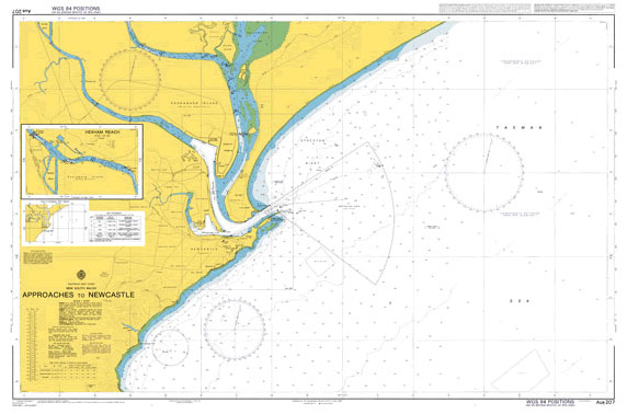
NEW EDITION OUT ON 25/11/2021Admiralty standard nautical charts comply with Safety of Life at Sea (SOLAS) regulations and are ideal for professional, commercial and recreational use. Charts within the series consist of a range of scales, useful for passage planning, ocean crossings, coastal navigation and entering port.Standard Admiralty charts are folded to fit in a
Admiralty Chart AUS208 – Newcastle Harbour
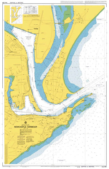
Admiralty standard nautical charts comply with Safety of Life at Sea (SOLAS) regulations and are ideal for professional, commercial and recreational use. Charts within the series consist of a range of scales, useful for passage planning, ocean crossings, coastal navigation and entering port.Standard Admiralty charts are folded to fit in a chart table drawer. If
Admiralty Chart AUS235 – Approaches to Moreton Bay
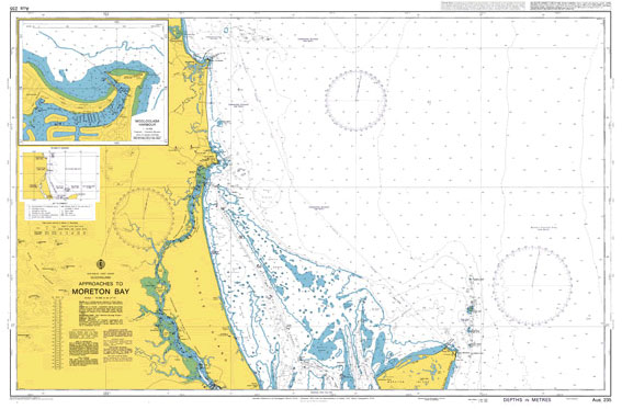
Admiralty standard nautical charts comply with Safety of Life at Sea (SOLAS) regulations and are ideal for professional, commercial and recreational use. Charts within the series consist of a range of scales, useful for passage planning, ocean crossings, coastal navigation and entering port.Standard Admiralty charts are folded to fit in a chart table drawer. If
Admiralty Chart AUS766 – Mistaken Cape to Wardlaws Point
Admiralty standard nautical charts comply with Safety of Life at Sea (SOLAS) regulations and are ideal for professional, commercial and recreational use. Charts within the series consist of a range of scales, useful for passage planning, ocean crossings, coastal navigation and entering port.Standard Admiralty charts are folded to fit in a chart table drawer. If
Admiralty Chart AUS242 – Port Bundaberg including Burnett River
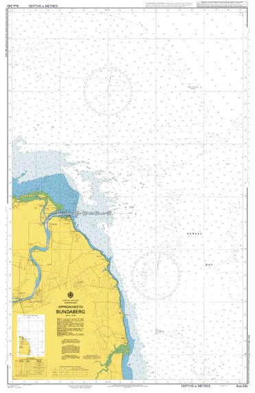
Admiralty standard nautical charts comply with Safety of Life at Sea (SOLAS) regulations and are ideal for professional, commercial and recreational use. Charts within the series consist of a range of scales, useful for passage planning, ocean crossings, coastal navigation and entering port.Standard Admiralty charts are folded to fit in a chart table drawer. If
Admiralty Chart AUS767 – Wardlaws Point to Eddystone Point
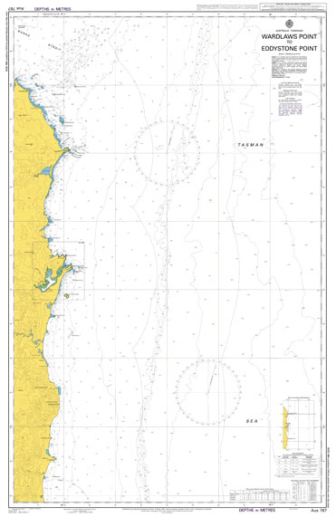
Admiralty standard nautical charts comply with Safety of Life at Sea (SOLAS) regulations and are ideal for professional, commercial and recreational use. Charts within the series consist of a range of scales, useful for passage planning, ocean crossings, coastal navigation and entering port.Standard Admiralty charts are folded to fit in a chart table drawer. If
Admiralty Chart AUS245 – Port of Gladstone
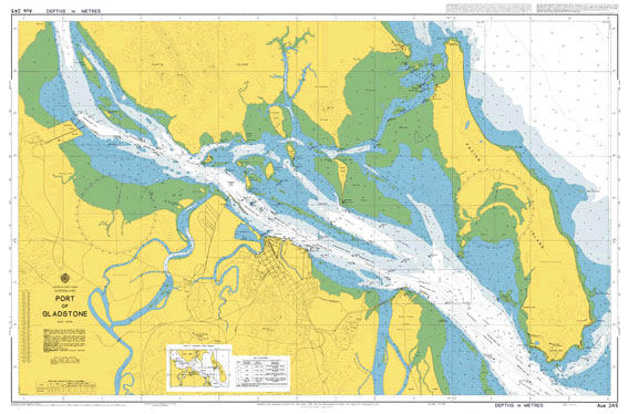
NEW EDITION OUT ON 11/02/2021Admiralty standard nautical charts comply with Safety of Life at Sea (SOLAS) regulations and are ideal for professional, commercial and recreational use. Charts within the series consist of a range of scales, useful for passage planning, ocean crossings, coastal navigation and entering port.Standard Admiralty charts are folded to fit in a
Admiralty Chart AUS776 – Williams Island to Winceby Island
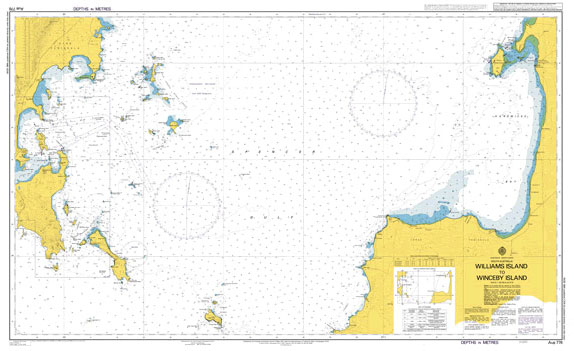
Admiralty standard nautical charts comply with Safety of Life at Sea (SOLAS) regulations and are ideal for professional, commercial and recreational use. Charts within the series consist of a range of scales, useful for passage planning, ocean crossings, coastal navigation and entering port.Standard Admiralty charts are folded to fit in a chart table drawer. If
Admiralty Chart AUS246 – Approaches to Port of Gladstone

NEW EDITION OUT ON 11/02/2021Admiralty standard nautical charts comply with Safety of Life at Sea (SOLAS) regulations and are ideal for professional, commercial and recreational use. Charts within the series consist of a range of scales, useful for passage planning, ocean crossings, coastal navigation and entering port.Standard Admiralty charts are folded to fit in a
Admiralty Chart AUS777 – Winceby Island to Point Riley
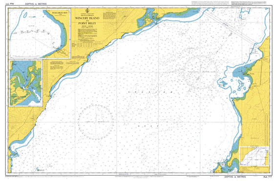
NEW EDITION OUT ON 20/02/2020Admiralty standard nautical charts comply with Safety of Life at Sea (SOLAS) regulations and are ideal for professional, commercial and recreational use. Charts within the series consist of a range of scales, useful for passage planning, ocean crossings, coastal navigation and entering port.Standard Admiralty charts are folded to fit in a
Admiralty Chart AUS249 – Approaches to Hay Point and Mackay
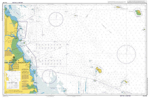
Admiralty standard nautical charts comply with Safety of Life at Sea (SOLAS) regulations and are ideal for professional, commercial and recreational use. Charts within the series consist of a range of scales, useful for passage planning, ocean crossings, coastal navigation and entering port.Standard Admiralty charts are folded to fit in a chart table drawer. If
Admiralty Chart AUS778 – Point Riley to Port Augusta
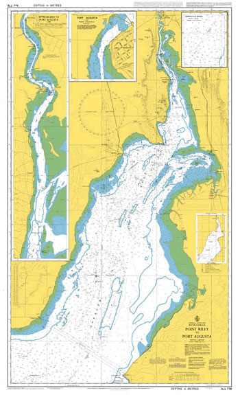
NEW EDITION OUT ON 22/08/2019Admiralty standard nautical charts comply with Safety of Life at Sea (SOLAS) regulations and are ideal for professional, commercial and recreational use. Charts within the series consist of a range of scales, useful for passage planning, ocean crossings, coastal navigation and entering port.Standard Admiralty charts are folded to fit in a
Admiralty Chart AUS781 – Gulf of St Vincent (Northern Portion)
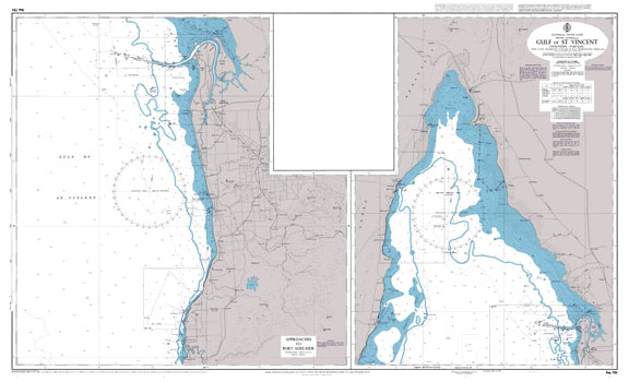
Admiralty standard nautical charts comply with Safety of Life at Sea (SOLAS) regulations and are ideal for professional, commercial and recreational use. Charts within the series consist of a range of scales, useful for passage planning, ocean crossings, coastal navigation and entering port.Standard Admiralty charts are folded to fit in a chart table drawer. If
Admiralty Chart AUS790 – Stokes Point to Rocky Cape
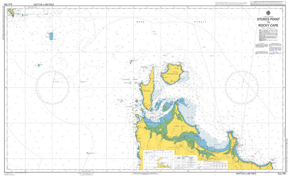
Admiralty standard nautical charts comply with Safety of Life at Sea (SOLAS) regulations and are ideal for professional, commercial and recreational use. Charts within the series consist of a range of scales, useful for passage planning, ocean crossings, coastal navigation and entering port.Standard Admiralty charts are folded to fit in a chart table drawer. If
Admiralty Chart AUS342 – Streaky Bay to Whidbey Isles
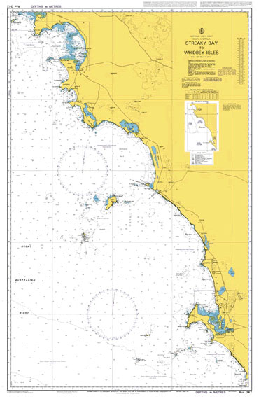
Admiralty standard nautical charts comply with Safety of Life at Sea (SOLAS) regulations and are ideal for professional, commercial and recreational use. Charts within the series consist of a range of scales, useful for passage planning, ocean crossings, coastal navigation and entering port.Standard Admiralty charts are folded to fit in a chart table drawer. If


