Category Archives: Non-Fiction & Reference
Admiralty Chart 8215 – Yangshan Deep Water Port Approach Guide
NEW EDITION OUT ON 06/02/2020ADMIRALTY Port Approach Guides are single, port-scale charts that contain a wide range of planning information for some of the world`s busiest approaches. Taken from existing ADMIRALTY charts and publications, this information can help to simplify a number of passage planning tasks and support Master Pilot Exchange (MPX).Port Approach Guides include
Admiralty Chart 8216 – Zhoushan Qundao Port Approach Guide
NEW EDITION OUT ON 26/11/2020ADMIRALTY Port Approach Guides are single, port-scale charts that contain a wide range of planning information for some of the world`s busiest approaches. Taken from existing ADMIRALTY charts and publications, this information can help to simplify a number of passage planning tasks and support Master Pilot Exchange (MPX).Port Approach Guides include
Admiralty Chart 8152 – Qingdao Port Approach Guide
NEW EDITION OUT ON 16/01/2020ADMIRALTY Port Approach Guides are single, port-scale charts that contain a wide range of planning information for some of the world`s busiest approaches. Taken from existing ADMIRALTY charts and publications, this information can help to simplify a number of passage planning tasks and support Master Pilot Exchange (MPX).Port Approach Guides include
Admiralty Chart 8153 – Approaches to Qingdao Port Approach Guide
ADMIRALTY Port Approach Guides are single, port-scale charts that contain a wide range of planning information for some of the world`s busiest approaches. Taken from existing ADMIRALTY charts and publications, this information can help to simplify a number of passage planning tasks and support Master Pilot Exchange (MPX).Port Approach Guides include planning information for individual
NOAA Chart 11430 – Lostmans River to Wiggins Pass
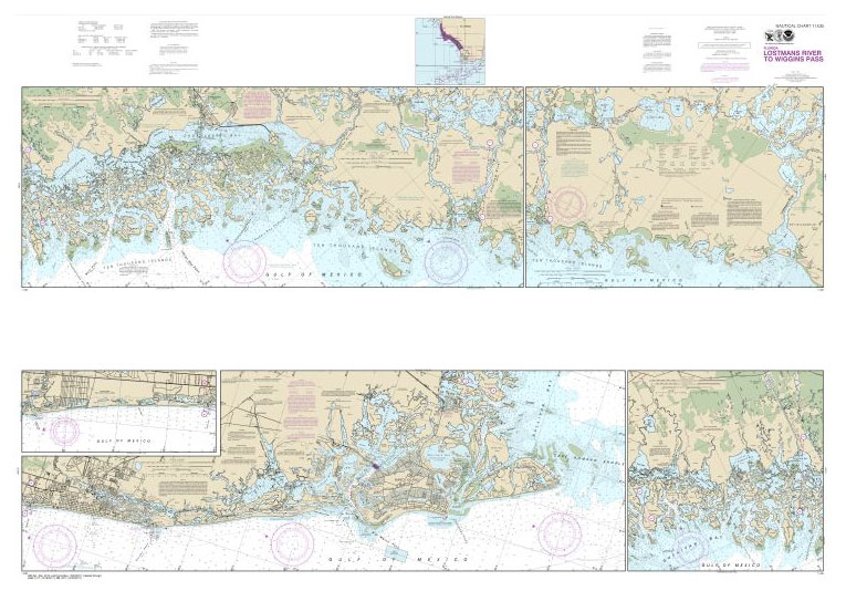
NOAA maintains the nautical charts and publications for U.S. coasts and the Great Lakes. Over a thousand charts cover 95,000 miles of shoreline and 3.4 million square nautical miles of waters.Printed on demand using the most up to date NOAA data and latest Notice to Mariners (NTMs) applied at time of print. Meets United States
NOAA Chart 11449 – Intracoastal Waterway’”Matecumbe to Grassy Key
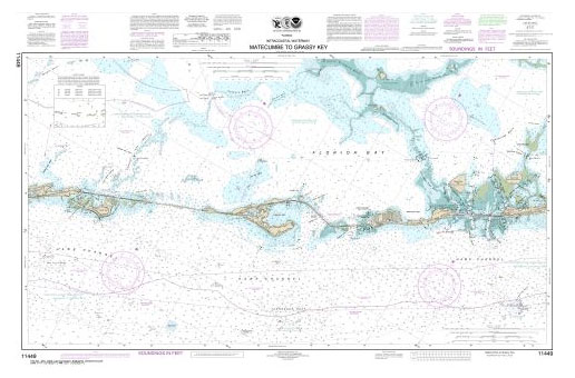
NOAA maintains the nautical charts and publications for U.S. coasts and the Great Lakes. Over a thousand charts cover 95,000 miles of shoreline and 3.4 million square nautical miles of waters.Printed on demand using the most up to date NOAA data and latest Notice to Mariners (NTMs) applied at time of print. Meets United States
Admiralty Chart 8176 – Singpaore, Sinki Fairway to Southern Fairway Port Approach Guide
ADMIRALTY Port Approach Guides are single, port-scale charts that contain a wide range of planning information for some of the world`s busiest approaches. Taken from existing ADMIRALTY charts and publications, this information can help to simplify a number of passage planning tasks and support Master Pilot Exchange (MPX).Port Approach Guides include planning information for individual
NOAA Chart 11453 – Intracoastal Waterway’”Grassy Key to Bahia Honda Key

NOAA maintains the nautical charts and publications for U.S. coasts and the Great Lakes. Over a thousand charts cover 95,000 miles of shoreline and 3.4 million square nautical miles of waters.Printed on demand using the most up to date NOAA data and latest Notice to Mariners (NTMs) applied at time of print. Meets United States
NOAA Chart 11431 – East Cape to Mormon Key
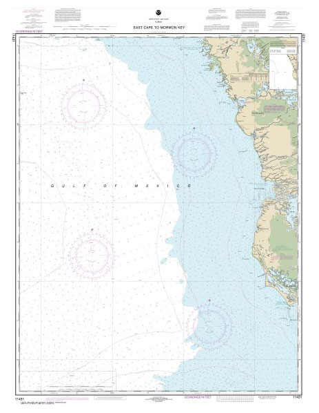
NOAA maintains the nautical charts and publications for U.S. coasts and the Great Lakes. Over a thousand charts cover 95,000 miles of shoreline and 3.4 million square nautical miles of waters.Printed on demand using the most up to date NOAA data and latest Notice to Mariners (NTMs) applied at time of print. Meets United States
NOAA Chart 11459 – Port of Palm Beach and Approaches

NOAA maintains the nautical charts and publications for U.S. coasts and the Great Lakes. Over a thousand charts cover 95,000 miles of shoreline and 3.4 million square nautical miles of waters.Printed on demand using the most up to date NOAA data and latest Notice to Mariners (NTMs) applied at time of print. Meets United States
Admiralty Chart 8177 – Southern Fairway to Changi Port Approach Guide
ADMIRALTY Port Approach Guides are single, port-scale charts that contain a wide range of planning information for some of the world`s busiest approaches. Taken from existing ADMIRALTY charts and publications, this information can help to simplify a number of passage planning tasks and support Master Pilot Exchange (MPX).Port Approach Guides include planning information for individual
Admiralty Chart 8232 – Pelabuhan Klang Port Approach Guide
ADMIRALTY Port Approach Guides are single, port-scale charts that contain a wide range of planning information for some of the world`s busiest approaches. Taken from existing ADMIRALTY charts and publications, this information can help to simplify a number of passage planning tasks and support Master Pilot Exchange (MPX).Port Approach Guides include planning information for individual
Admiralty Chart 8233 – Approaches to Pelabuhan Klang Port Approach Guide
ADMIRALTY Port Approach Guides are single, port-scale charts that contain a wide range of planning information for some of the world`s busiest approaches. Taken from existing ADMIRALTY charts and publications, this information can help to simplify a number of passage planning tasks and support Master Pilot Exchange (MPX).Port Approach Guides include planning information for individual
Admiralty Chart 8284 – Pelabuhan Tanjung Pelepas Port Approach Guide
ADMIRALTY Port Approach Guides are single, port-scale charts that contain a wide range of planning information for some of the world`s busiest approaches. Taken from existing ADMIRALTY charts and publications, this information can help to simplify a number of passage planning tasks and support Master Pilot Exchange (MPX).Port Approach Guides include planning information for individual
NOAA Chart 11432 – Everglades National Park’”Shark River to Lostmans River
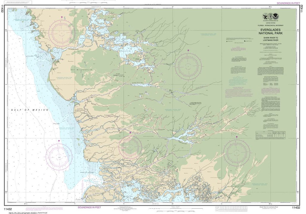
NOAA maintains the nautical charts and publications for U.S. coasts and the Great Lakes. Over a thousand charts cover 95,000 miles of shoreline and 3.4 million square nautical miles of waters.Printed on demand using the most up to date NOAA data and latest Notice to Mariners (NTMs) applied at time of print. Meets United States
NOAA Chart 11433 – Everglades National Park’”Whitewater Bay
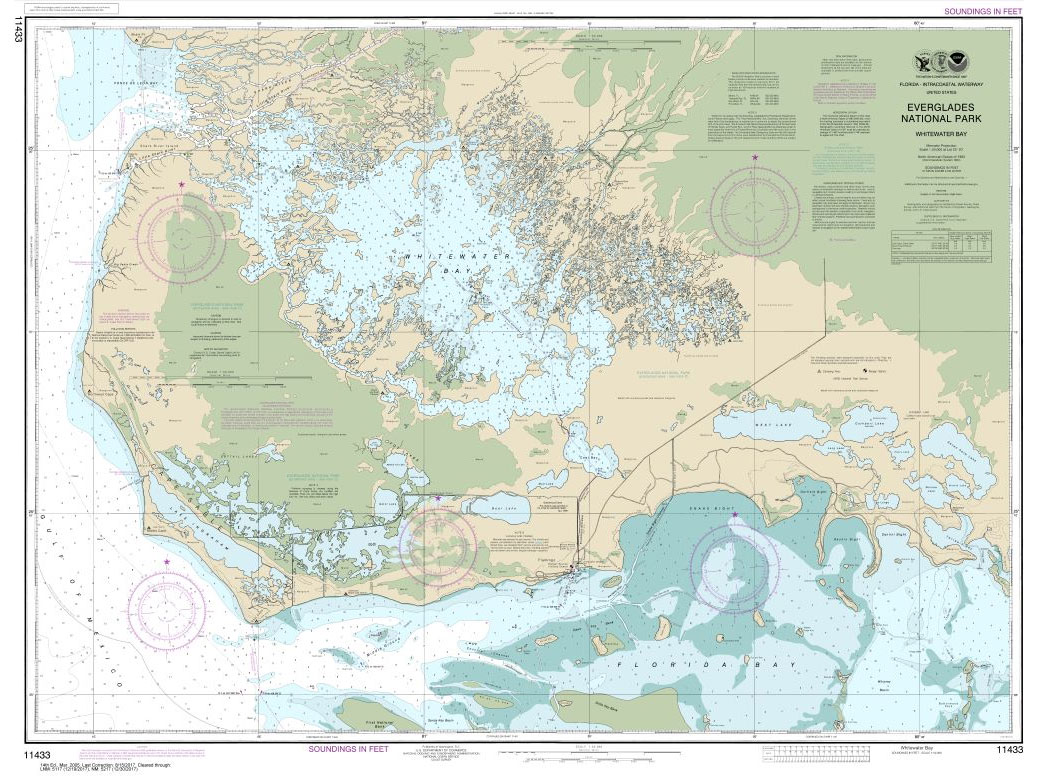
NOAA maintains the nautical charts and publications for U.S. coasts and the Great Lakes. Over a thousand charts cover 95,000 miles of shoreline and 3.4 million square nautical miles of waters.Printed on demand using the most up to date NOAA data and latest Notice to Mariners (NTMs) applied at time of print. Meets United States
NOAA Chart 11438 – Dry Tortugas – Tortugas Harbor
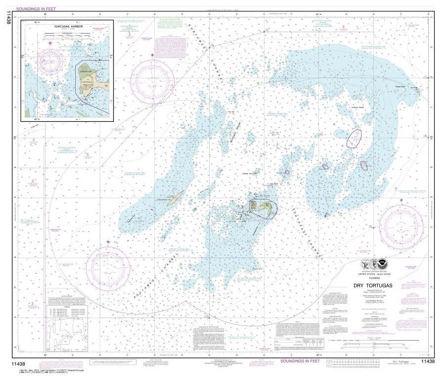
NOAA maintains the nautical charts and publications for U.S. coasts and the Great Lakes. Over a thousand charts cover 95,000 miles of shoreline and 3.4 million square nautical miles of waters.Printed on demand using the most up to date NOAA data and latest Notice to Mariners (NTMs) applied at time of print. Meets United States
NOAA Chart 11439 – Sand Key to Rebecca Shoal
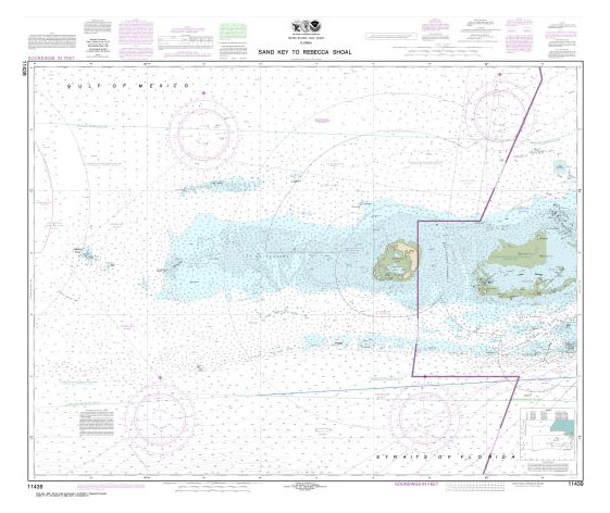
NOAA maintains the nautical charts and publications for U.S. coasts and the Great Lakes. Over a thousand charts cover 95,000 miles of shoreline and 3.4 million square nautical miles of waters.Printed on demand using the most up to date NOAA data and latest Notice to Mariners (NTMs) applied at time of print. Meets United States
NOAA Chart 11441 – Key West Harbor and Approaches
NOAA maintains the nautical charts and publications for U.S. coasts and the Great Lakes. Over a thousand charts cover 95,000 miles of shoreline and 3.4 million square nautical miles of waters.Printed on demand using the most up to date NOAA data and latest Notice to Mariners (NTMs) applied at time of print. Meets United States
NOAA Chart 11445 – Intracoastal Waterway’”Bahia Honda Key to Sugarloaf Key
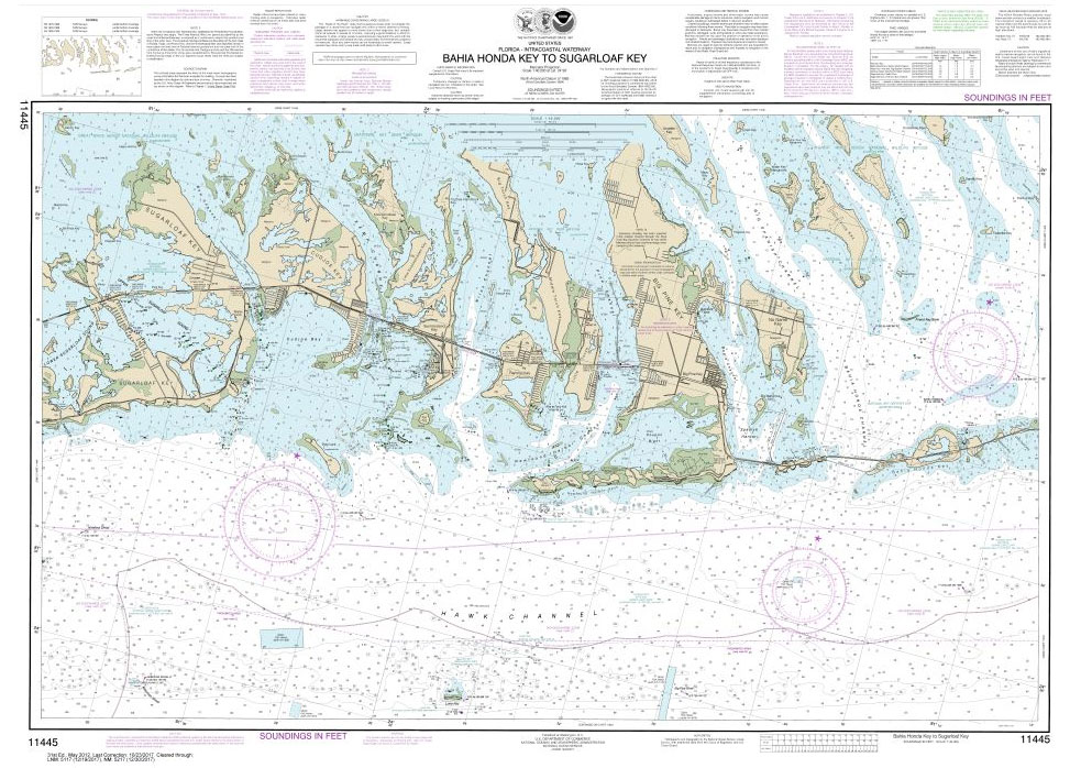
NOAA maintains the nautical charts and publications for U.S. coasts and the Great Lakes. Over a thousand charts cover 95,000 miles of shoreline and 3.4 million square nautical miles of waters.Printed on demand using the most up to date NOAA data and latest Notice to Mariners (NTMs) applied at time of print. Meets United States


