Category Archives: Non-Fiction & Reference
NOAA Chart 18600 – Trinidad Head to Cape Blanco
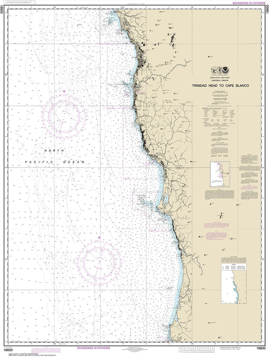
NOAA maintains the nautical charts and publications for U.S. coasts and the Great Lakes. Over a thousand charts cover 95,000 miles of shoreline and 3.4 million square nautical miles of waters.Printed on demand using the most up to date NOAA data and latest Notice to Mariners (NTMs) applied at time of print. Meets United States
NOAA Chart 18601 – Cape Sebastian to Humbug Mountain
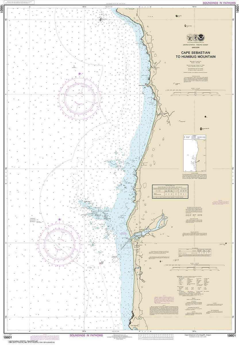
NOAA maintains the nautical charts and publications for U.S. coasts and the Great Lakes. Over a thousand charts cover 95,000 miles of shoreline and 3.4 million square nautical miles of waters.Printed on demand using the most up to date NOAA data and latest Notice to Mariners (NTMs) applied at time of print. Meets United States
NOAA Chart 18602 – Pyramid Point to Cape Sebastian – Chetco Cove – Hunters Cove
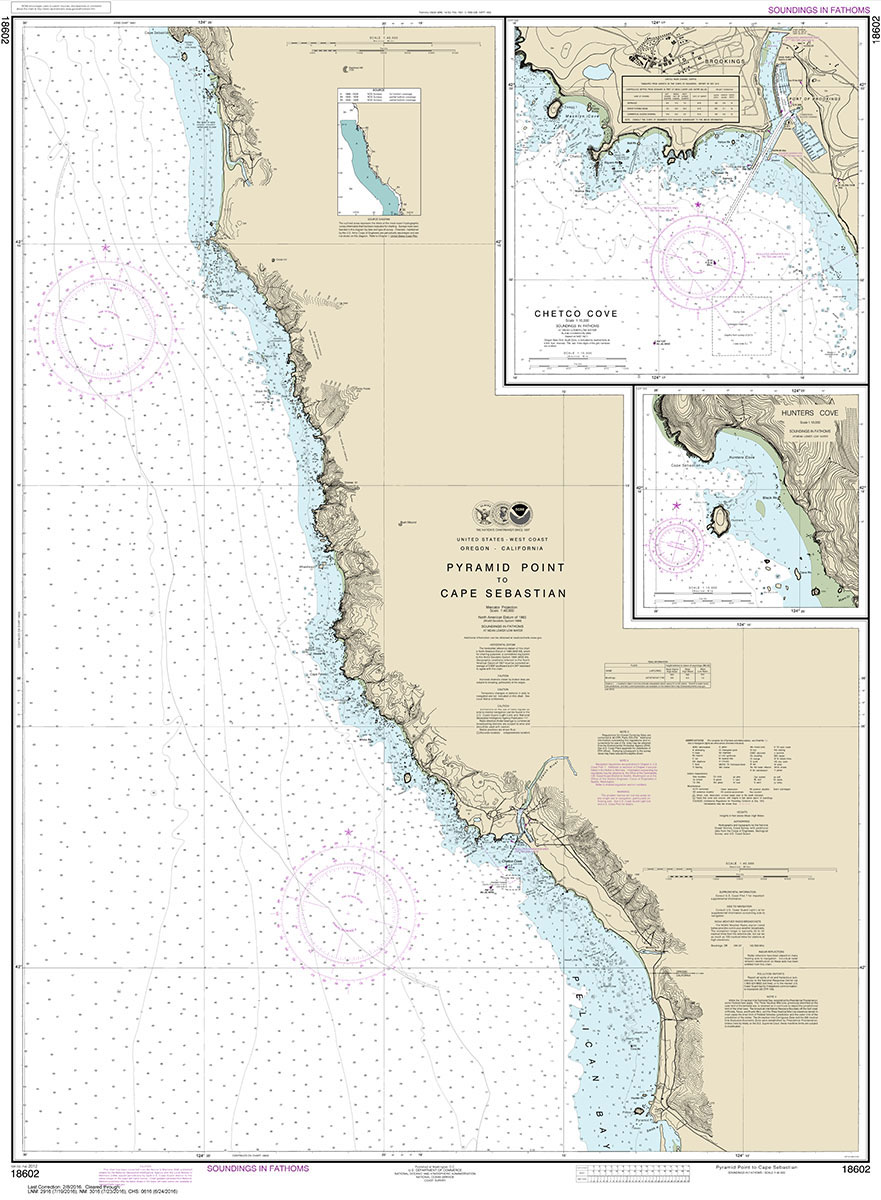
NOAA maintains the nautical charts and publications for U.S. coasts and the Great Lakes. Over a thousand charts cover 95,000 miles of shoreline and 3.4 million square nautical miles of waters.Printed on demand using the most up to date NOAA data and latest Notice to Mariners (NTMs) applied at time of print. Meets United States
NOAA Chart 18603 – St George Reef and Crescent City Harbor – Crescent City Harbor
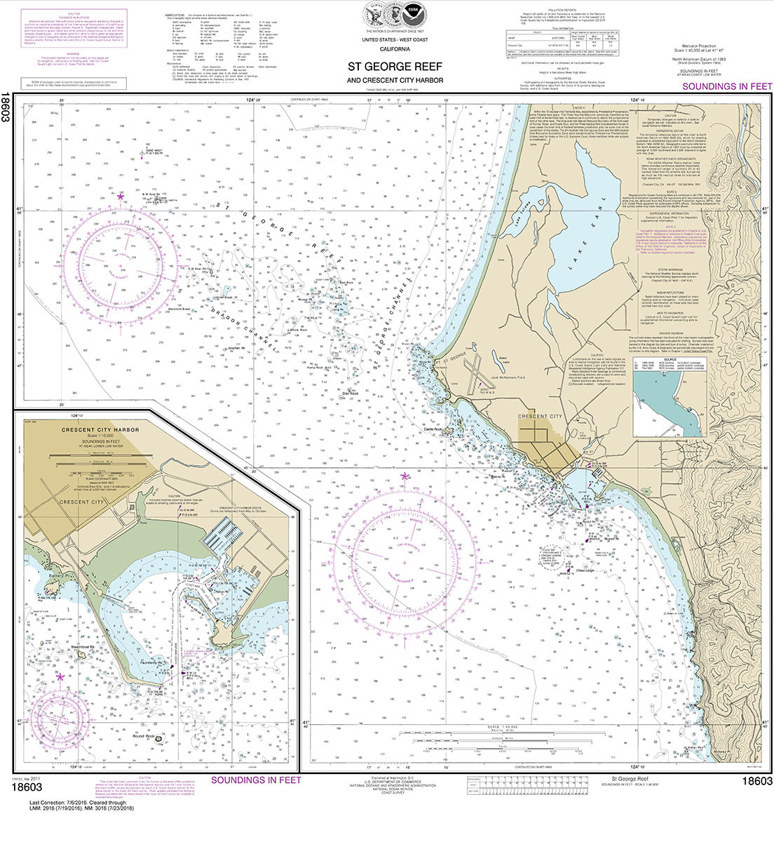
NOAA maintains the nautical charts and publications for U.S. coasts and the Great Lakes. Over a thousand charts cover 95,000 miles of shoreline and 3.4 million square nautical miles of waters.Printed on demand using the most up to date NOAA data and latest Notice to Mariners (NTMs) applied at time of print. Meets United States
NOAA Chart 18605 – Trinidad Harbor
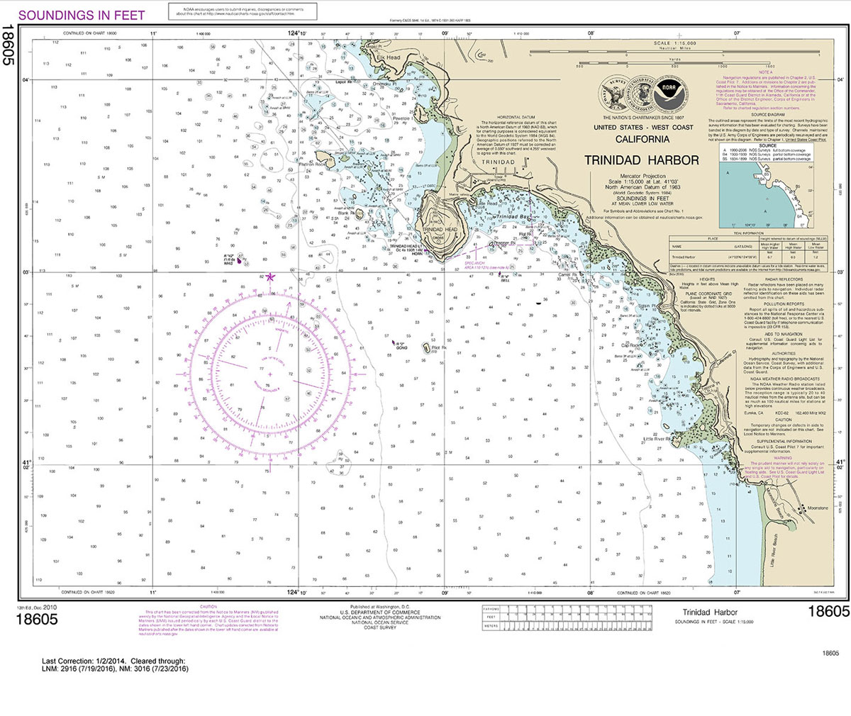
NOAA maintains the nautical charts and publications for U.S. coasts and the Great Lakes. Over a thousand charts cover 95,000 miles of shoreline and 3.4 million square nautical miles of waters.Printed on demand using the most up to date NOAA data and latest Notice to Mariners (NTMs) applied at time of print. Meets United States
NOAA Chart 18620 – Point Arena to Trinidad Head – Rockport Landing – Shelter Cove
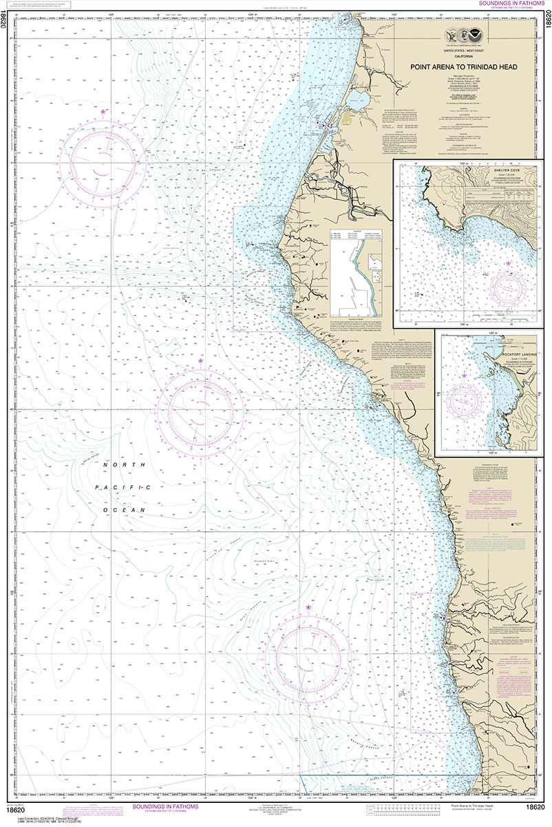
NOAA maintains the nautical charts and publications for U.S. coasts and the Great Lakes. Over a thousand charts cover 95,000 miles of shoreline and 3.4 million square nautical miles of waters.Printed on demand using the most up to date NOAA data and latest Notice to Mariners (NTMs) applied at time of print. Meets United States
NOAA Chart 18622 – Humboldt Bay
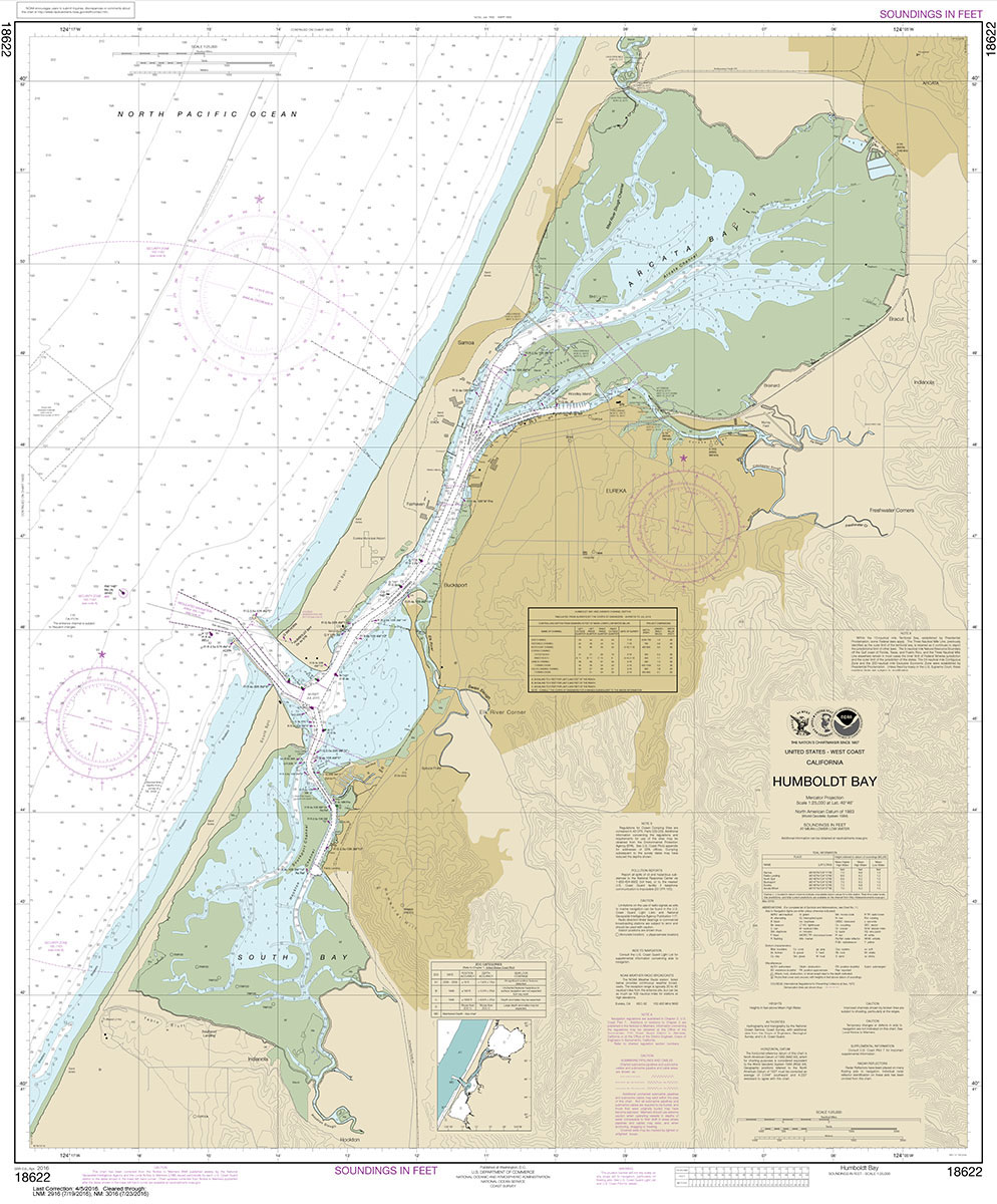
NOAA maintains the nautical charts and publications for U.S. coasts and the Great Lakes. Over a thousand charts cover 95,000 miles of shoreline and 3.4 million square nautical miles of waters.Printed on demand using the most up to date NOAA data and latest Notice to Mariners (NTMs) applied at time of print. Meets United States
NOAA Chart 18623 – Cape Mendocino and Vicinity

NOAA maintains the nautical charts and publications for U.S. coasts and the Great Lakes. Over a thousand charts cover 95,000 miles of shoreline and 3.4 million square nautical miles of waters.Printed on demand using the most up to date NOAA data and latest Notice to Mariners (NTMs) applied at time of print. Meets United States
NOAA Chart 18626 – Elk to Fort Bragg – Elk – Fort Bragg and Nayo Anchorage
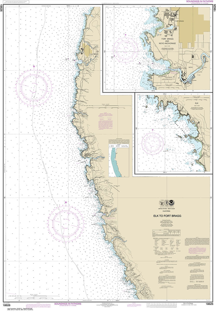
NOAA maintains the nautical charts and publications for U.S. coasts and the Great Lakes. Over a thousand charts cover 95,000 miles of shoreline and 3.4 million square nautical miles of waters.Printed on demand using the most up to date NOAA data and latest Notice to Mariners (NTMs) applied at time of print. Meets United States
NOAA Chart 18628 – Albion to Caspar
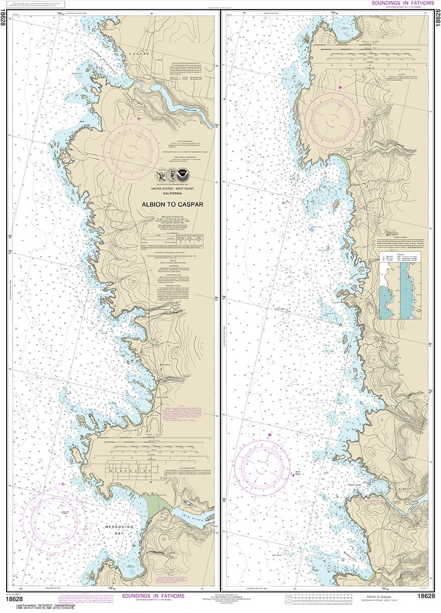
NOAA maintains the nautical charts and publications for U.S. coasts and the Great Lakes. Over a thousand charts cover 95,000 miles of shoreline and 3.4 million square nautical miles of waters.Printed on demand using the most up to date NOAA data and latest Notice to Mariners (NTMs) applied at time of print. Meets United States
NOAA Chart 18640 – San Francisco to Point Arena
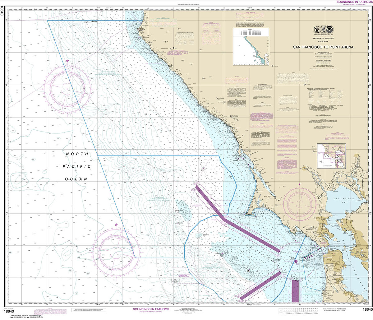
NOAA maintains the nautical charts and publications for U.S. coasts and the Great Lakes. Over a thousand charts cover 95,000 miles of shoreline and 3.4 million square nautical miles of waters.Printed on demand using the most up to date NOAA data and latest Notice to Mariners (NTMs) applied at time of print. Meets United States
NOAA Chart 18583 – Siuslaw River

NOAA maintains the nautical charts and publications for U.S. coasts and the Great Lakes. Over a thousand charts cover 95,000 miles of shoreline and 3.4 million square nautical miles of waters.Printed on demand using the most up to date NOAA data and latest Notice to Mariners (NTMs) applied at time of print. Meets United States
NOAA Chart 18645 – Gulf of the Farallones – Southeast Farallon
NOAA maintains the nautical charts and publications for U.S. coasts and the Great Lakes. Over a thousand charts cover 95,000 miles of shoreline and 3.4 million square nautical miles of waters.Printed on demand using the most up to date NOAA data and latest Notice to Mariners (NTMs) applied at time of print. Meets United States
NOAA Chart 18541 – Columbia River’”McNary Dam to Juniper
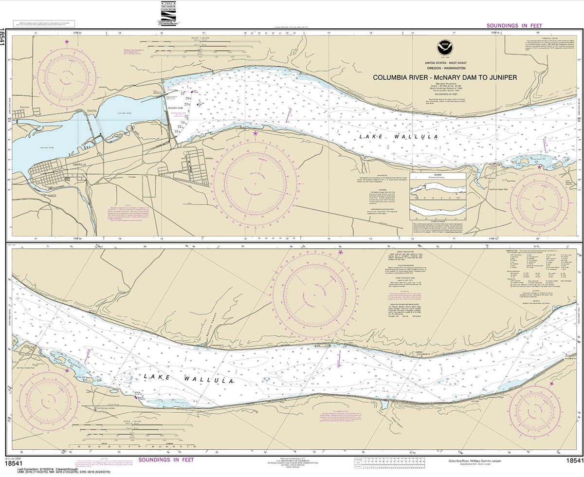
NOAA maintains the nautical charts and publications for U.S. coasts and the Great Lakes. Over a thousand charts cover 95,000 miles of shoreline and 3.4 million square nautical miles of waters.Printed on demand using the most up to date NOAA data and latest Notice to Mariners (NTMs) applied at time of print. Meets United States
NOAA Chart 18542 – Columbia River’”Juniper to Pasco
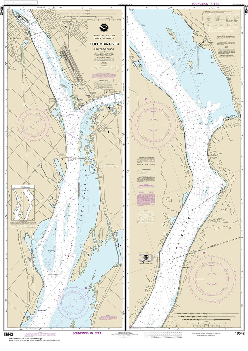
NOAA maintains the nautical charts and publications for U.S. coasts and the Great Lakes. Over a thousand charts cover 95,000 miles of shoreline and 3.4 million square nautical miles of waters.Printed on demand using the most up to date NOAA data and latest Notice to Mariners (NTMs) applied at time of print. Meets United States
NOAA Chart 18543 – Columbia River’”Pasco to Richland
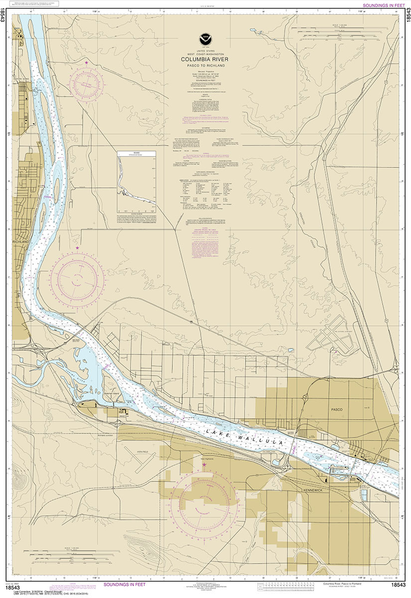
NOAA maintains the nautical charts and publications for U.S. coasts and the Great Lakes. Over a thousand charts cover 95,000 miles of shoreline and 3.4 million square nautical miles of waters.Printed on demand using the most up to date NOAA data and latest Notice to Mariners (NTMs) applied at time of print. Meets United States
NOAA Chart 18545 – Lake Sacajawea
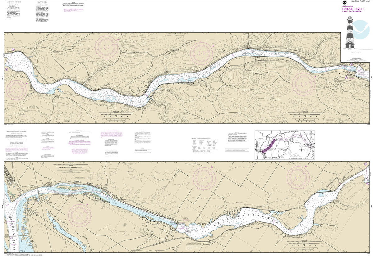
NOAA maintains the nautical charts and publications for U.S. coasts and the Great Lakes. Over a thousand charts cover 95,000 miles of shoreline and 3.4 million square nautical miles of waters.Printed on demand using the most up to date NOAA data and latest Notice to Mariners (NTMs) applied at time of print. Meets United States
NOAA Chart 18546 – Snake River’”Lake Herbert G West
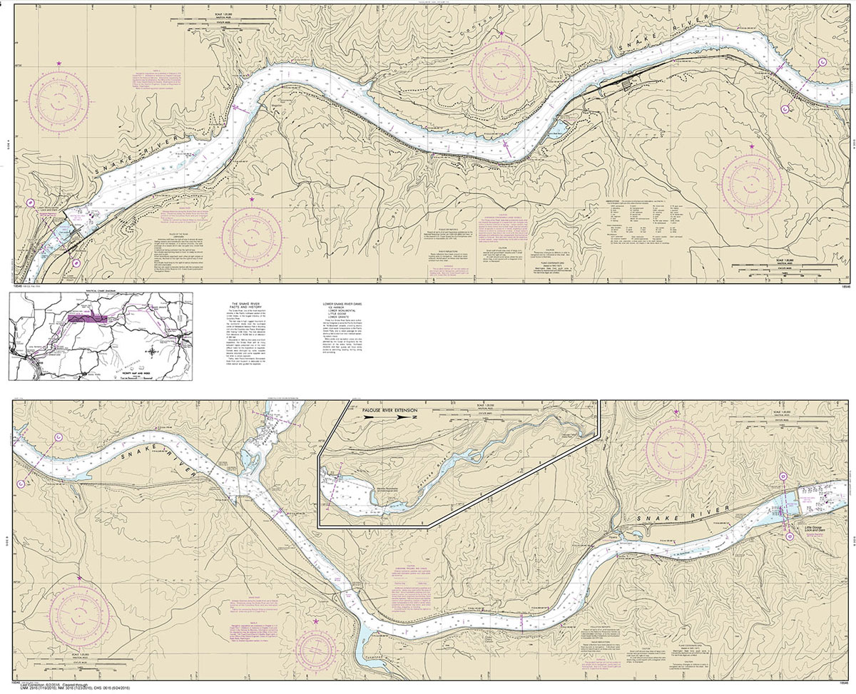
NOAA maintains the nautical charts and publications for U.S. coasts and the Great Lakes. Over a thousand charts cover 95,000 miles of shoreline and 3.4 million square nautical miles of waters.Printed on demand using the most up to date NOAA data and latest Notice to Mariners (NTMs) applied at time of print. Meets United States
NOAA Chart 18547 – Snake River’”Lake Bryon
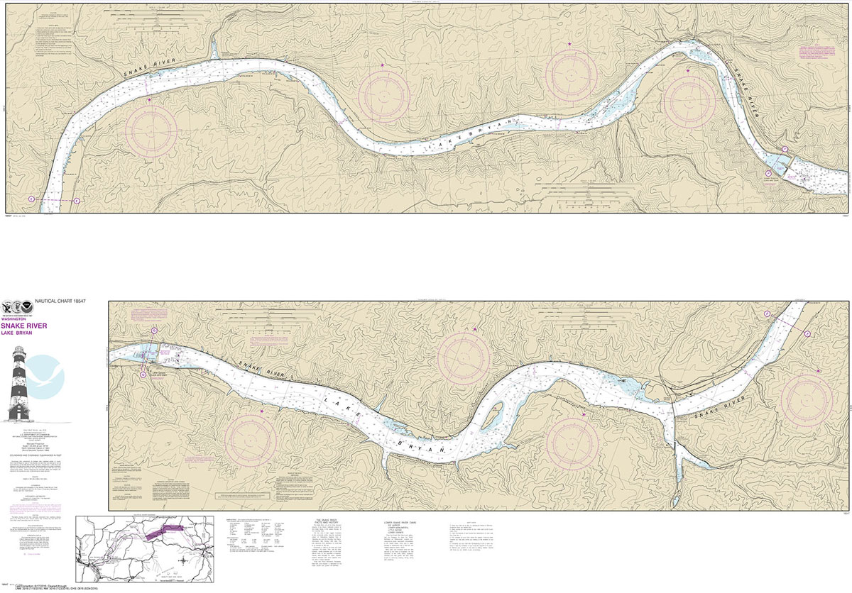
NOAA maintains the nautical charts and publications for U.S. coasts and the Great Lakes. Over a thousand charts cover 95,000 miles of shoreline and 3.4 million square nautical miles of waters.Printed on demand using the most up to date NOAA data and latest Notice to Mariners (NTMs) applied at time of print. Meets United States
NOAA Chart 18548 – Snake River’”Lower Granite Lake
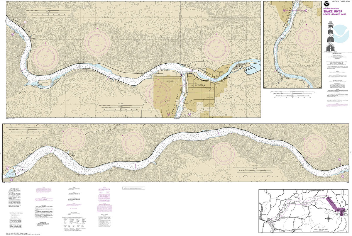
NOAA maintains the nautical charts and publications for U.S. coasts and the Great Lakes. Over a thousand charts cover 95,000 miles of shoreline and 3.4 million square nautical miles of waters.Printed on demand using the most up to date NOAA data and latest Notice to Mariners (NTMs) applied at time of print. Meets United States


