Category Archives: Non-Fiction & Reference
NOAA Chart 16598 – Cape Ikolik to Cape Kuliuk
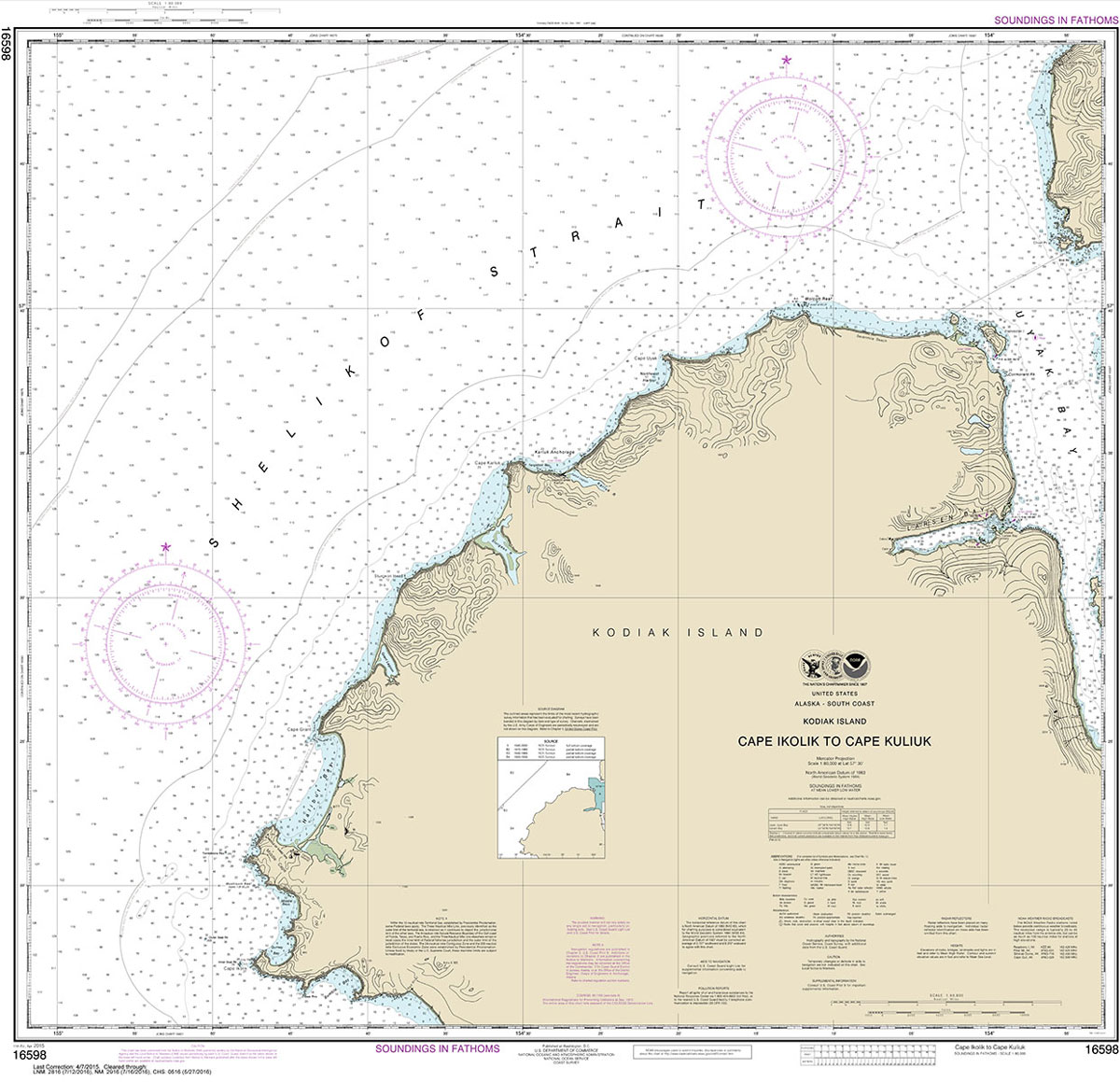
NOAA maintains the nautical charts and publications for U.S. coasts and the Great Lakes. Over a thousand charts cover 95,000 miles of shoreline and 3.4 million square nautical miles of waters.Printed on demand using the most up to date NOAA data and latest Notice to Mariners (NTMs) applied at time of print. Meets United States
NOAA Chart 16663 – Cook Inlet’”East Foreland to Anchorage – North Foreland
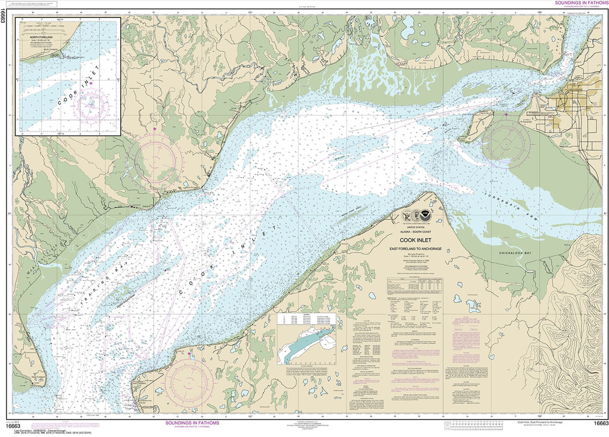
NOAA maintains the nautical charts and publications for U.S. coasts and the Great Lakes. Over a thousand charts cover 95,000 miles of shoreline and 3.4 million square nautical miles of waters.Printed on demand using the most up to date NOAA data and latest Notice to Mariners (NTMs) applied at time of print. Meets United States
NOAA Chart 16599 – Kodiak Island’”Bays and Anchorages – Karluk Anchorage – Larsen Bay – Uyak Anchorage
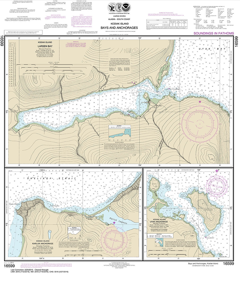
NOAA maintains the nautical charts and publications for U.S. coasts and the Great Lakes. Over a thousand charts cover 95,000 miles of shoreline and 3.4 million square nautical miles of waters.Printed on demand using the most up to date NOAA data and latest Notice to Mariners (NTMs) applied at time of print. Meets United States
NOAA Chart 16665 – Cook Inlet’”Approaches to Anchorage – Anchorage
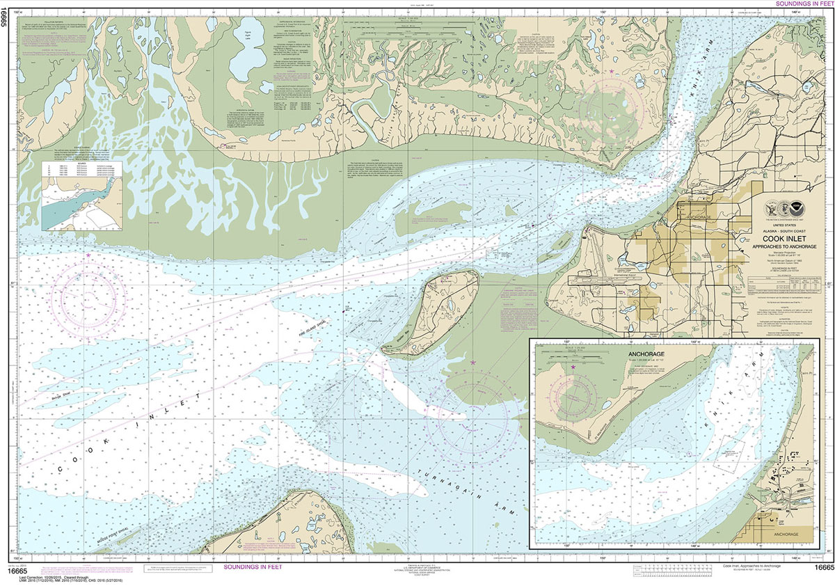
NOAA maintains the nautical charts and publications for U.S. coasts and the Great Lakes. Over a thousand charts cover 95,000 miles of shoreline and 3.4 million square nautical miles of waters.Printed on demand using the most up to date NOAA data and latest Notice to Mariners (NTMs) applied at time of print. Meets United States
NOAA Chart 16601 – Cape Alitak to Cape lkolik
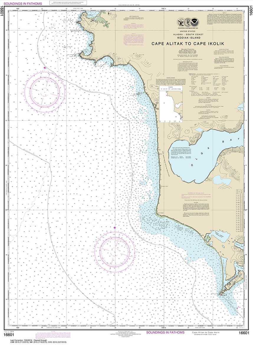
NOAA maintains the nautical charts and publications for U.S. coasts and the Great Lakes. Over a thousand charts cover 95,000 miles of shoreline and 3.4 million square nautical miles of waters.Printed on demand using the most up to date NOAA data and latest Notice to Mariners (NTMs) applied at time of print. Meets United States
NOAA Chart 16680 – Point Elrington to East Chugach Island
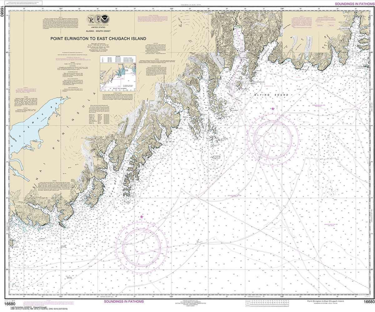
NOAA maintains the nautical charts and publications for U.S. coasts and the Great Lakes. Over a thousand charts cover 95,000 miles of shoreline and 3.4 million square nautical miles of waters.Printed on demand using the most up to date NOAA data and latest Notice to Mariners (NTMs) applied at time of print. Meets United States
NOAA Chart 16603 – Kukak Bay
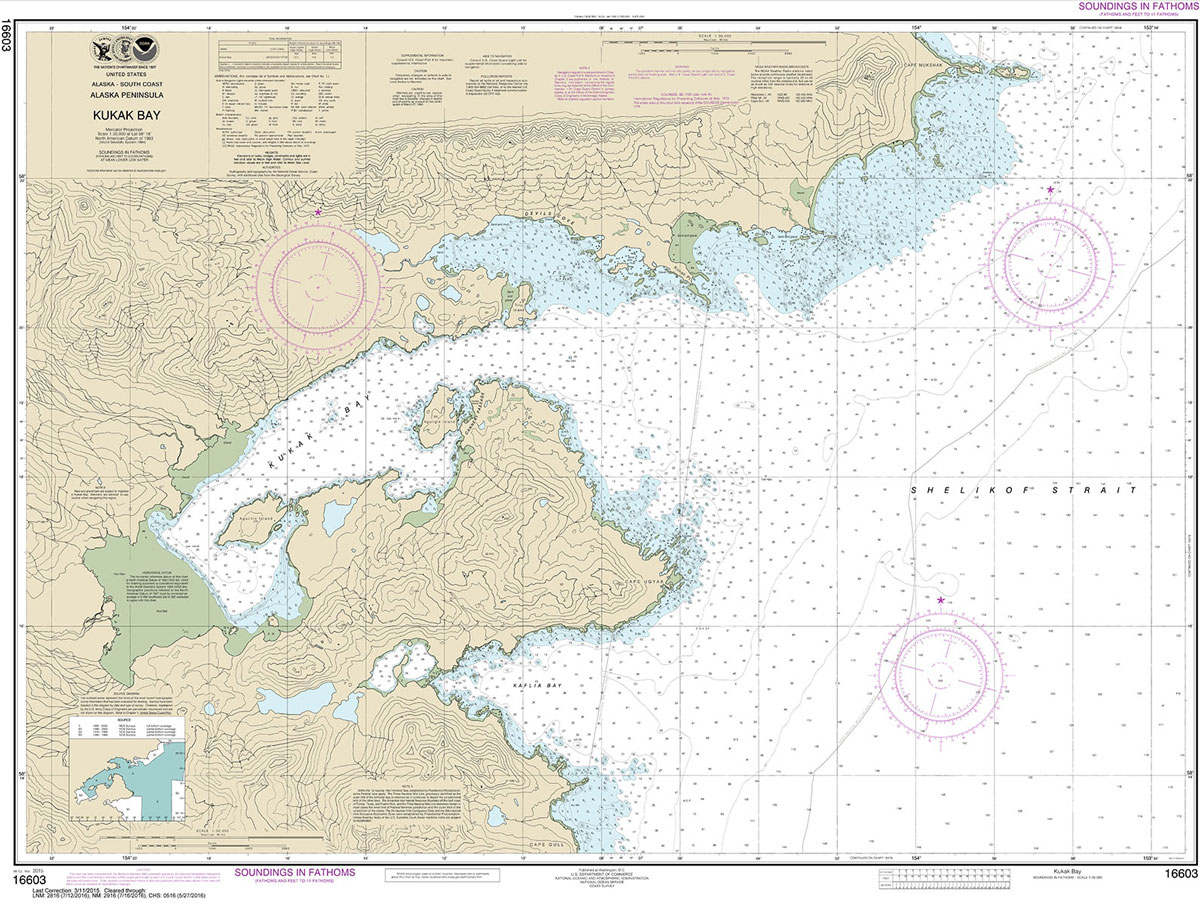
NOAA maintains the nautical charts and publications for U.S. coasts and the Great Lakes. Over a thousand charts cover 95,000 miles of shoreline and 3.4 million square nautical miles of waters.Printed on demand using the most up to date NOAA data and latest Notice to Mariners (NTMs) applied at time of print. Meets United States
NOAA Chart 16681 – Seal Rocks to Gore Point
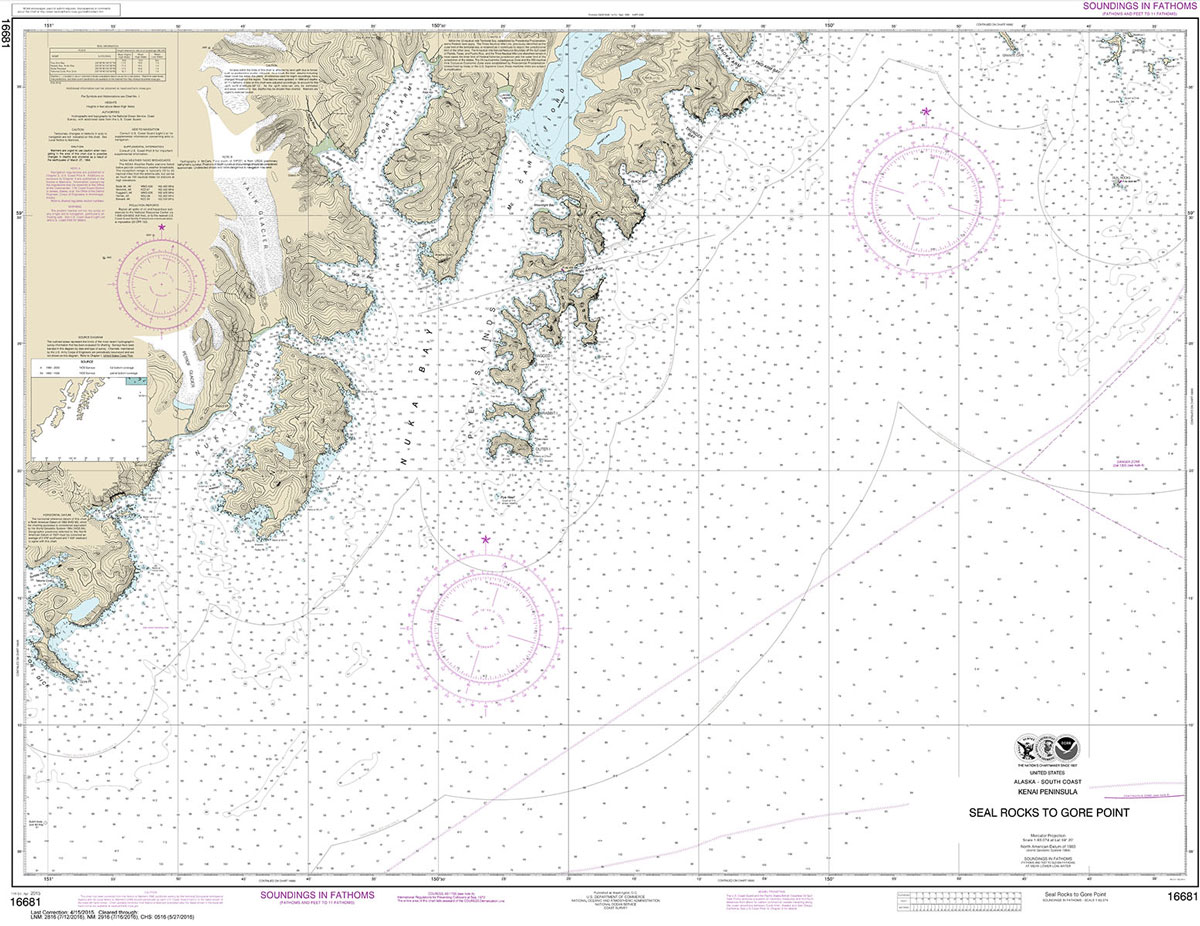
NOAA maintains the nautical charts and publications for U.S. coasts and the Great Lakes. Over a thousand charts cover 95,000 miles of shoreline and 3.4 million square nautical miles of waters.Printed on demand using the most up to date NOAA data and latest Notice to Mariners (NTMs) applied at time of print. Meets United States
NOAA Chart 16604 – Shuyak and Afognak Islands and Adjacent Waters
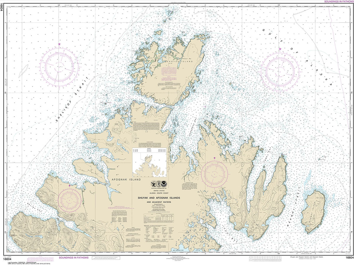
NOAA maintains the nautical charts and publications for U.S. coasts and the Great Lakes. Over a thousand charts cover 95,000 miles of shoreline and 3.4 million square nautical miles of waters.Printed on demand using the most up to date NOAA data and latest Notice to Mariners (NTMs) applied at time of print. Meets United States
NOAA Chart 16605 – Shuyak Strait and Bluefox Bay
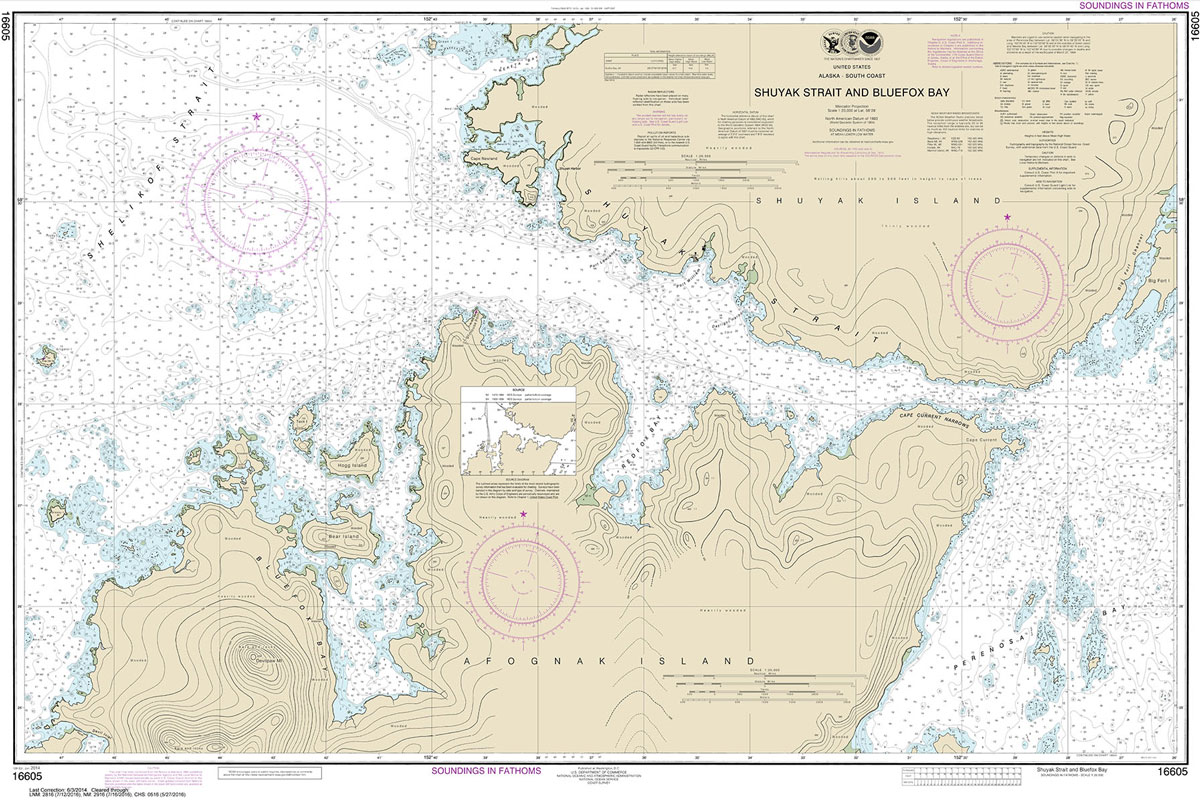
NOAA maintains the nautical charts and publications for U.S. coasts and the Great Lakes. Over a thousand charts cover 95,000 miles of shoreline and 3.4 million square nautical miles of waters.Printed on demand using the most up to date NOAA data and latest Notice to Mariners (NTMs) applied at time of print. Meets United States
NOAA Chart 16608 – Cape Douglas to Cape Nukshak
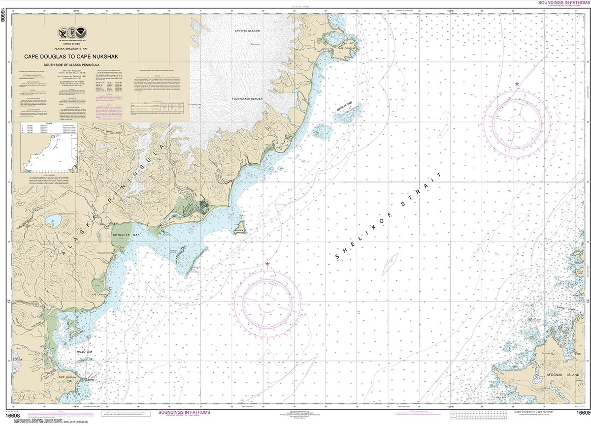
NOAA maintains the nautical charts and publications for U.S. coasts and the Great Lakes. Over a thousand charts cover 95,000 miles of shoreline and 3.4 million square nautical miles of waters.Printed on demand using the most up to date NOAA data and latest Notice to Mariners (NTMs) applied at time of print. Meets United States
NOAA Chart 16640 – Cook Inlet (southern part)
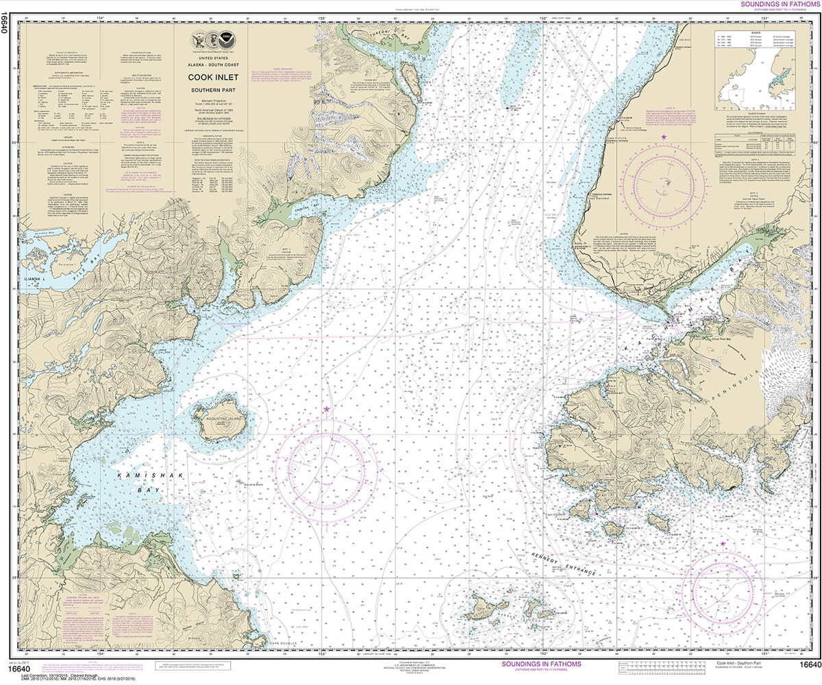
NOAA maintains the nautical charts and publications for U.S. coasts and the Great Lakes. Over a thousand charts cover 95,000 miles of shoreline and 3.4 million square nautical miles of waters.Printed on demand using the most up to date NOAA data and latest Notice to Mariners (NTMs) applied at time of print. Meets United States
NOAA Chart 16645 – Gore Point to Anchor Point
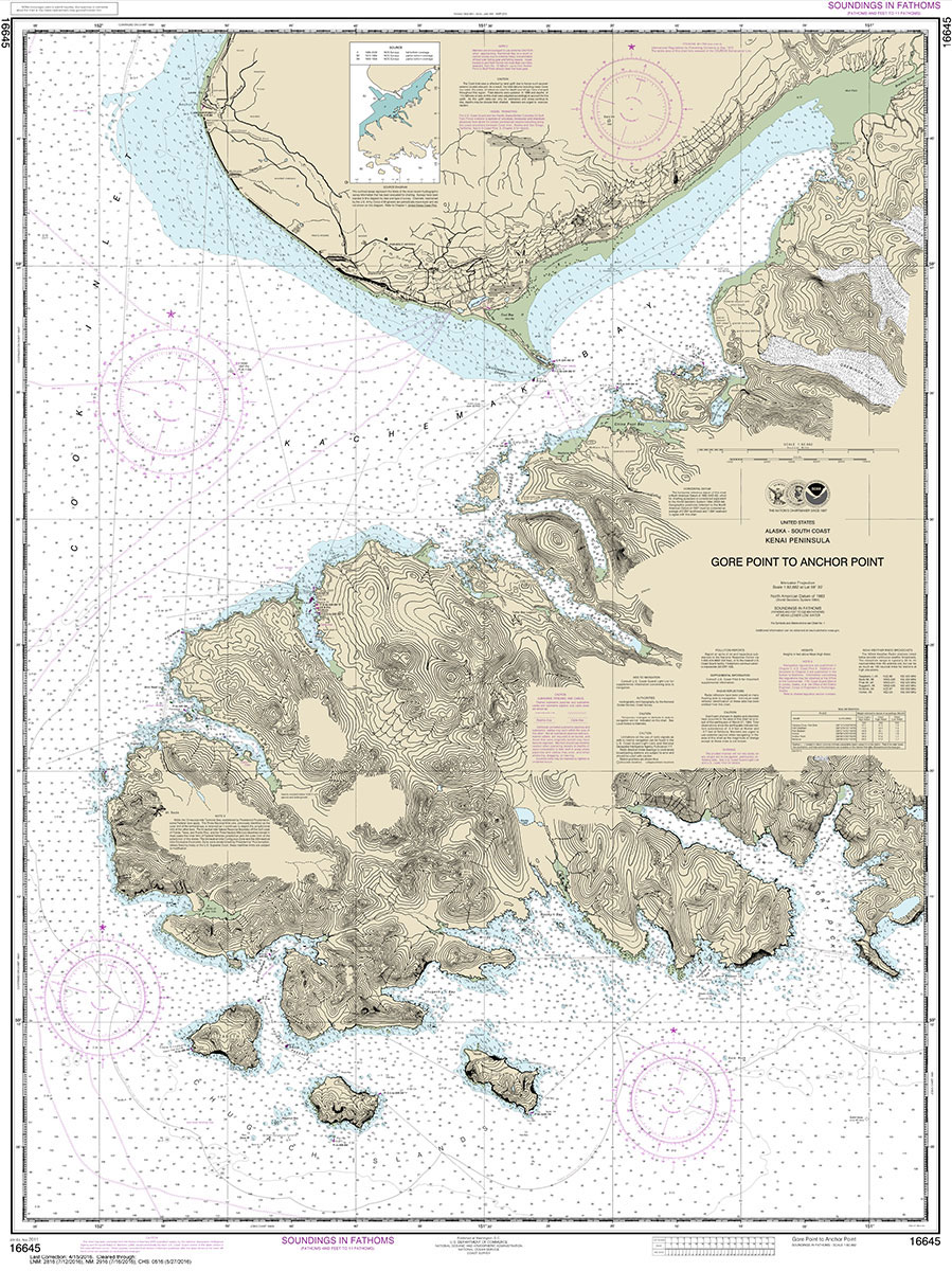
NOAA maintains the nautical charts and publications for U.S. coasts and the Great Lakes. Over a thousand charts cover 95,000 miles of shoreline and 3.4 million square nautical miles of waters.Printed on demand using the most up to date NOAA data and latest Notice to Mariners (NTMs) applied at time of print. Meets United States
NOAA Chart 16646 – Ports of Southeastern Cook Inlet – Port Chatham – Port Graham – Seldovia Bay – Approaches to Homer Harbor – Homer Harbor – Seldovia Harbor
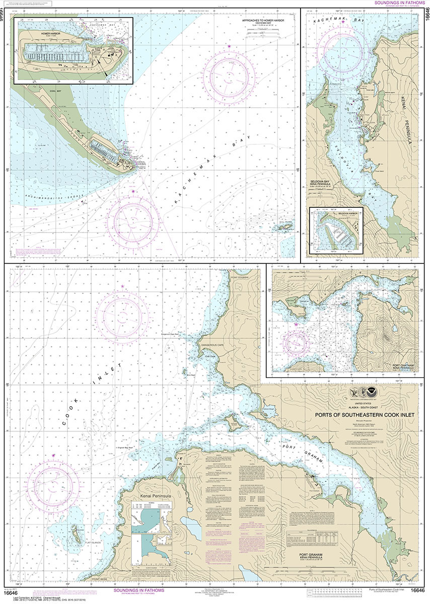
NOAA maintains the nautical charts and publications for U.S. coasts and the Great Lakes. Over a thousand charts cover 95,000 miles of shoreline and 3.4 million square nautical miles of waters.Printed on demand using the most up to date NOAA data and latest Notice to Mariners (NTMs) applied at time of print. Meets United States
NOAA Chart 16594 – Marmot Bay and Kupreanof Strait – Whale Passage – Ouzinkie Harbor
NOAA maintains the nautical charts and publications for U.S. coasts and the Great Lakes. Over a thousand charts cover 95,000 miles of shoreline and 3.4 million square nautical miles of waters.Printed on demand using the most up to date NOAA data and latest Notice to Mariners (NTMs) applied at time of print. Meets United States
NOAA Chart 16595 – Kodiak and St. Paul Harbors – Kodiak Harbor
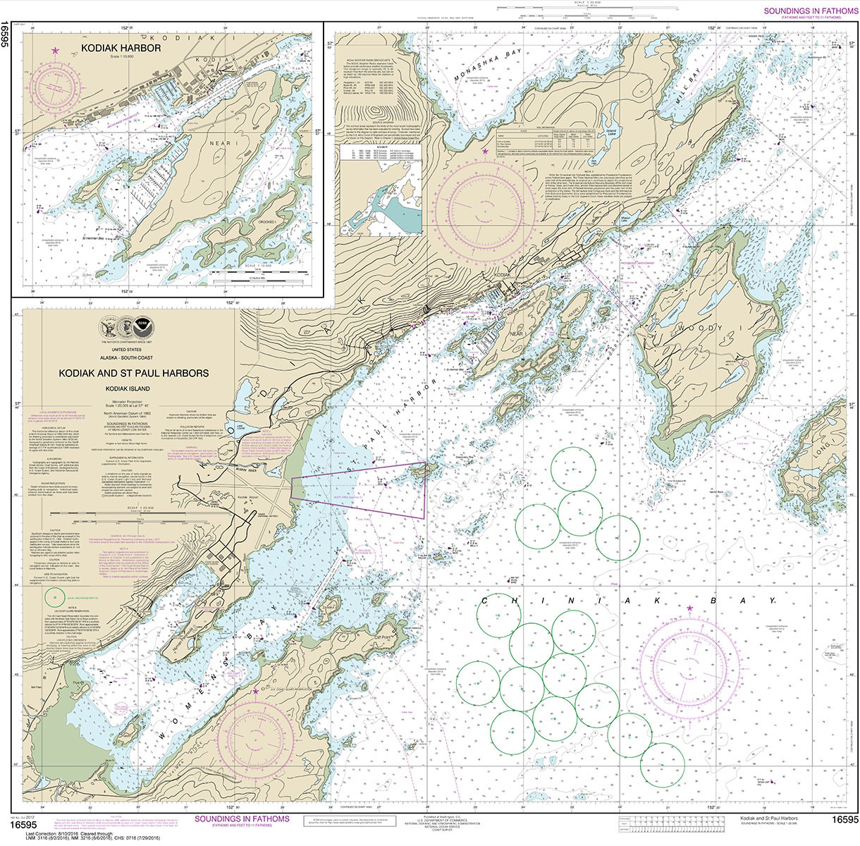
NOAA maintains the nautical charts and publications for U.S. coasts and the Great Lakes. Over a thousand charts cover 95,000 miles of shoreline and 3.4 million square nautical miles of waters.Printed on demand using the most up to date NOAA data and latest Notice to Mariners (NTMs) applied at time of print. Meets United States
NOAA Chart 16521 – Unalaska Island’”Protection Bay to Eagle Bay
NOAA maintains the nautical charts and publications for U.S. coasts and the Great Lakes. Over a thousand charts cover 95,000 miles of shoreline and 3.4 million square nautical miles of waters.Printed on demand using the most up to date NOAA data and latest Notice to Mariners (NTMs) applied at time of print. Meets United States
Russia flag – 1 yard – sewn
We are able to source a wide range of courtesy flags. Flags are available in many sizes and can be sewn or printed on 100% Ministry Of Defence Standard Woven and Knitted Polyester. Flags are supplied with rope and toggle. If you would like more information, have a custom size request or cannot find a
NOAA Chart 16522 – Beaver Inlet
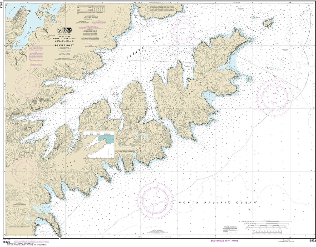
NOAA maintains the nautical charts and publications for U.S. coasts and the Great Lakes. Over a thousand charts cover 95,000 miles of shoreline and 3.4 million square nautical miles of waters.Printed on demand using the most up to date NOAA data and latest Notice to Mariners (NTMs) applied at time of print. Meets United States


