Category Archives: Non-Fiction & Reference
NOAA Chart 14867 – Saginaw River

NOAA maintains the nautical charts and publications for U.S. coasts and the Great Lakes. Over a thousand charts cover 95,000 miles of shoreline and 3.4 million square nautical miles of waters.Printed on demand using the most up to date NOAA data and latest Notice to Mariners (NTMs) applied at time of print. Meets United States
NOAA Chart 14869 – Presque Isle and Stoneport Harbor – Stoneport Harbor – Presque Isle Harbor
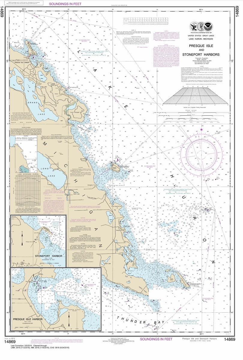
NOAA maintains the nautical charts and publications for U.S. coasts and the Great Lakes. Over a thousand charts cover 95,000 miles of shoreline and 3.4 million square nautical miles of waters.Printed on demand using the most up to date NOAA data and latest Notice to Mariners (NTMs) applied at time of print. Meets United States
NOAA Chart 14844 – Islands in Lake Erie – Put-In-Bay
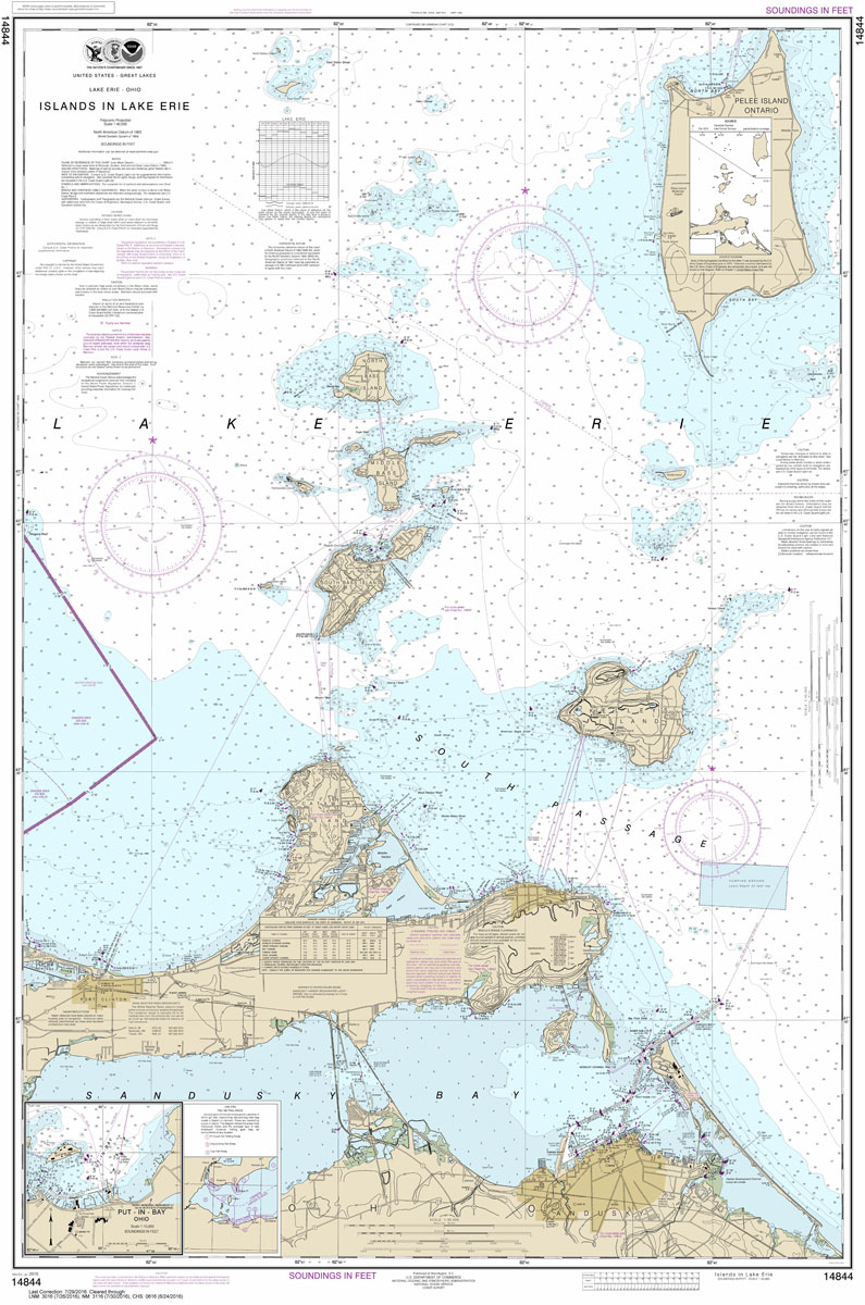
NOAA maintains the nautical charts and publications for U.S. coasts and the Great Lakes. Over a thousand charts cover 95,000 miles of shoreline and 3.4 million square nautical miles of waters.Printed on demand using the most up to date NOAA data and latest Notice to Mariners (NTMs) applied at time of print. Meets United States
NOAA Chart 14880 – Straits of Mackinac
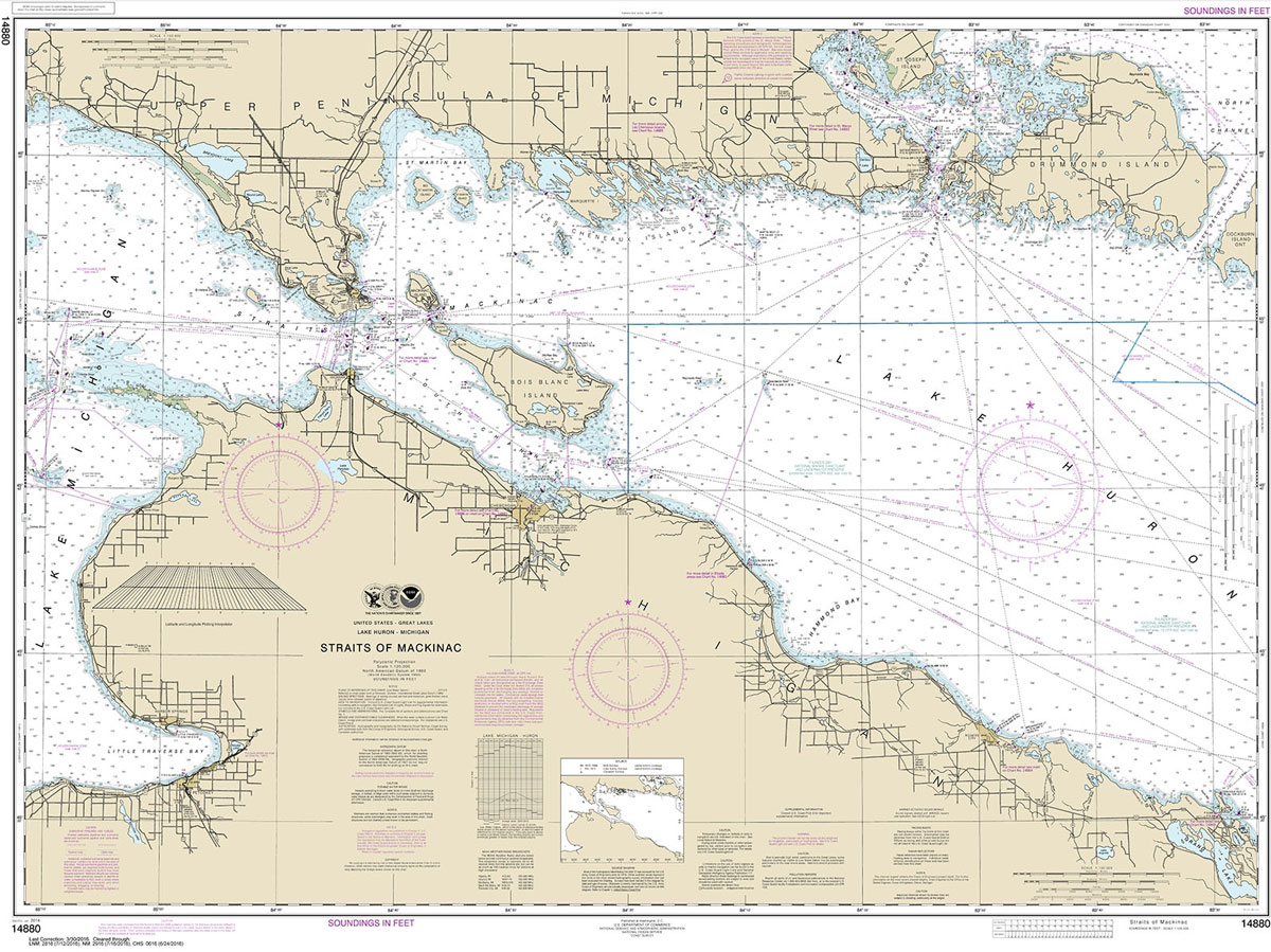
NOAA maintains the nautical charts and publications for U.S. coasts and the Great Lakes. Over a thousand charts cover 95,000 miles of shoreline and 3.4 million square nautical miles of waters.Printed on demand using the most up to date NOAA data and latest Notice to Mariners (NTMs) applied at time of print. Meets United States
NOAA Chart 14845 – Sandusky Harbor

NOAA maintains the nautical charts and publications for U.S. coasts and the Great Lakes. Over a thousand charts cover 95,000 miles of shoreline and 3.4 million square nautical miles of waters.Printed on demand using the most up to date NOAA data and latest Notice to Mariners (NTMs) applied at time of print. Meets United States
NOAA Chart 14881 – De Tour Passage to Waugoshance Point – Hammond Bay Harbor – Mackinaw City – Mackinac Island – St. Ignace – Cheboygan Harbor
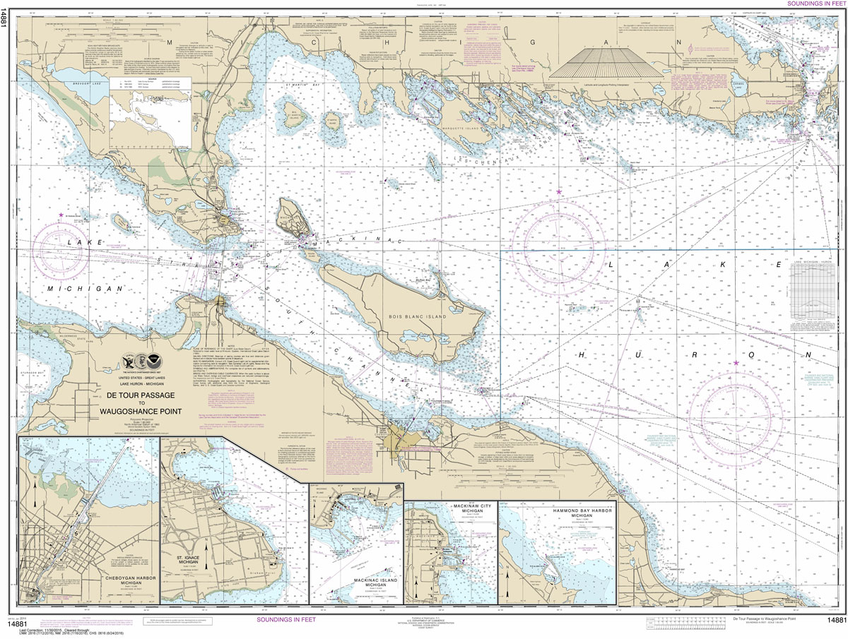
NOAA maintains the nautical charts and publications for U.S. coasts and the Great Lakes. Over a thousand charts cover 95,000 miles of shoreline and 3.4 million square nautical miles of waters.Printed on demand using the most up to date NOAA data and latest Notice to Mariners (NTMs) applied at time of print. Meets United States
NOAA Chart 14846 – SMALL-CRAFT BOOK CHART West End of Lake Erie (book of 34 charts) V
NOAA maintains the nautical charts and publications for U.S. coasts and the Great Lakes. Over a thousand charts cover 95,000 miles of shoreline and 3.4 million square nautical miles of waters.Printed on demand using the most up to date NOAA data and latest Notice to Mariners (NTMs) applied at time of print. Meets United States
NOAA Chart 14882 – St. Marys River’”De Tour Passage to Munuscong Lake – De Tour Passage
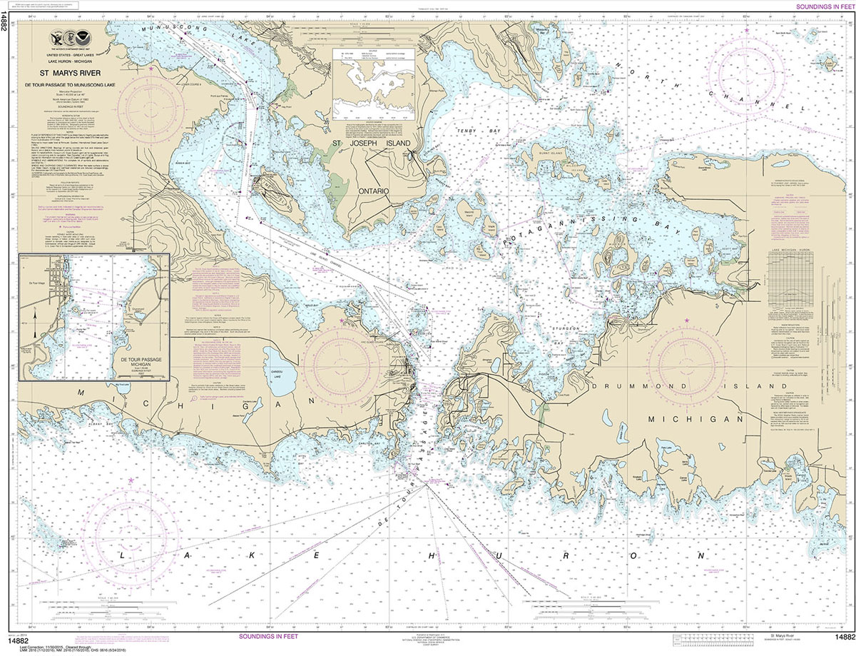
NOAA maintains the nautical charts and publications for U.S. coasts and the Great Lakes. Over a thousand charts cover 95,000 miles of shoreline and 3.4 million square nautical miles of waters.Printed on demand using the most up to date NOAA data and latest Notice to Mariners (NTMs) applied at time of print. Meets United States
NOAA Chart 14847 – Toledo Harbour – Entrance Channel
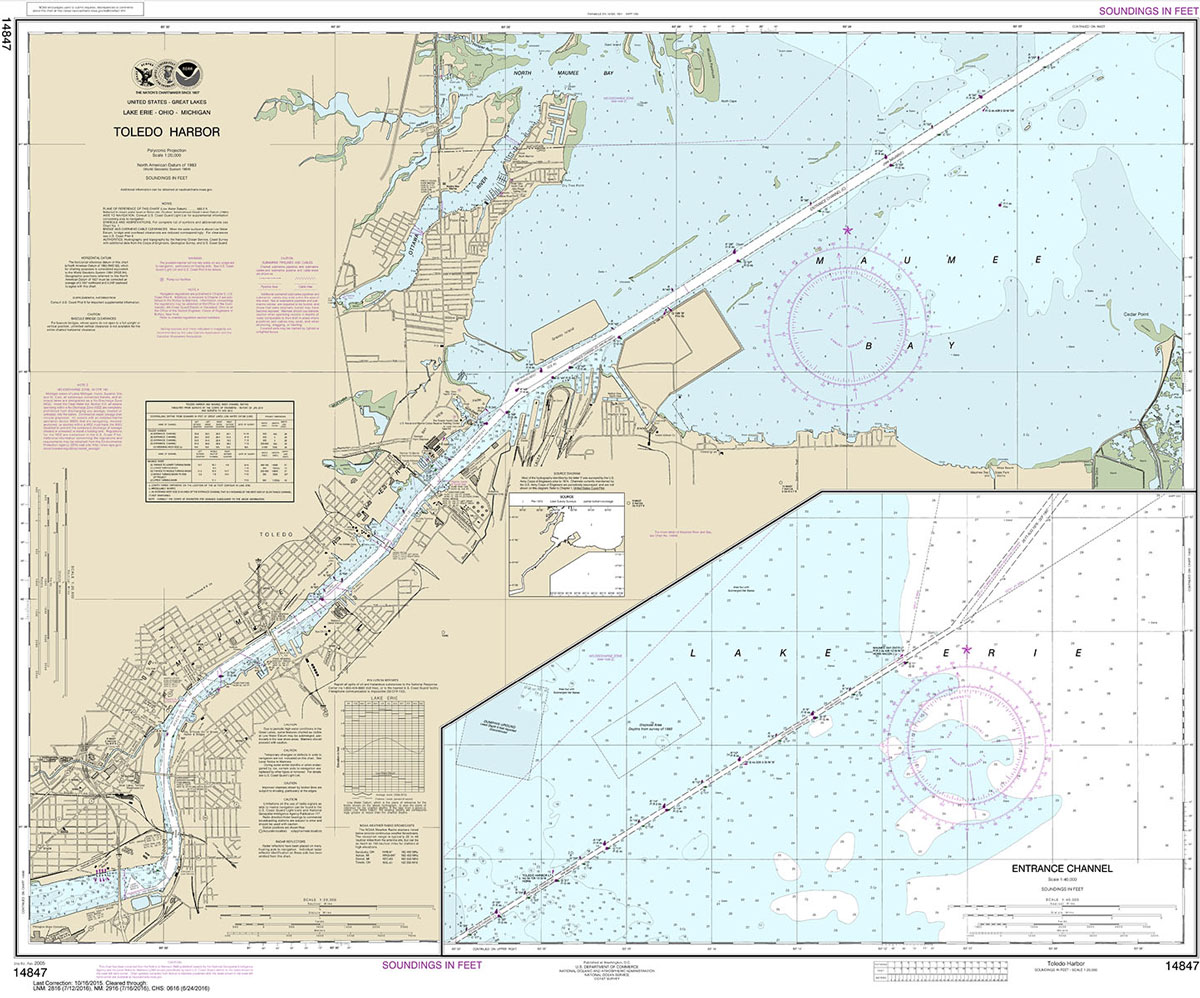
NOAA maintains the nautical charts and publications for U.S. coasts and the Great Lakes. Over a thousand charts cover 95,000 miles of shoreline and 3.4 million square nautical miles of waters.Printed on demand using the most up to date NOAA data and latest Notice to Mariners (NTMs) applied at time of print. Meets United States
NOAA Chart 14883 – St. Marys River’”Munuscong Lake to Sault Ste. Marie
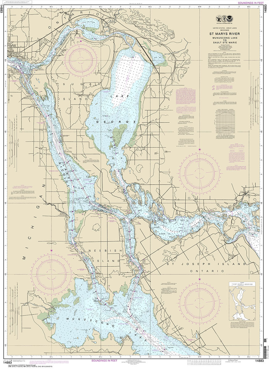
NOAA maintains the nautical charts and publications for U.S. coasts and the Great Lakes. Over a thousand charts cover 95,000 miles of shoreline and 3.4 million square nautical miles of waters.Printed on demand using the most up to date NOAA data and latest Notice to Mariners (NTMs) applied at time of print. Meets United States
NOAA Chart 14848 – Detroit River

NOAA maintains the nautical charts and publications for U.S. coasts and the Great Lakes. Over a thousand charts cover 95,000 miles of shoreline and 3.4 million square nautical miles of waters.Printed on demand using the most up to date NOAA data and latest Notice to Mariners (NTMs) applied at time of print. Meets United States
NOAA Chart 14850 – Lake St. Clair
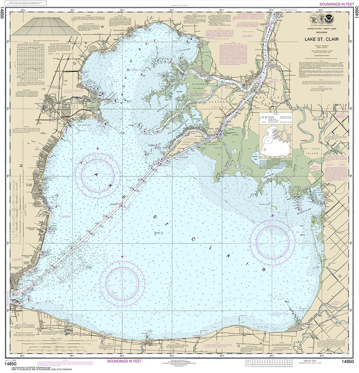
NOAA maintains the nautical charts and publications for U.S. coasts and the Great Lakes. Over a thousand charts cover 95,000 miles of shoreline and 3.4 million square nautical miles of waters.Printed on demand using the most up to date NOAA data and latest Notice to Mariners (NTMs) applied at time of print. Meets United States
NOAA Chart 14852 – St. Clair River – Head of St. Clair River
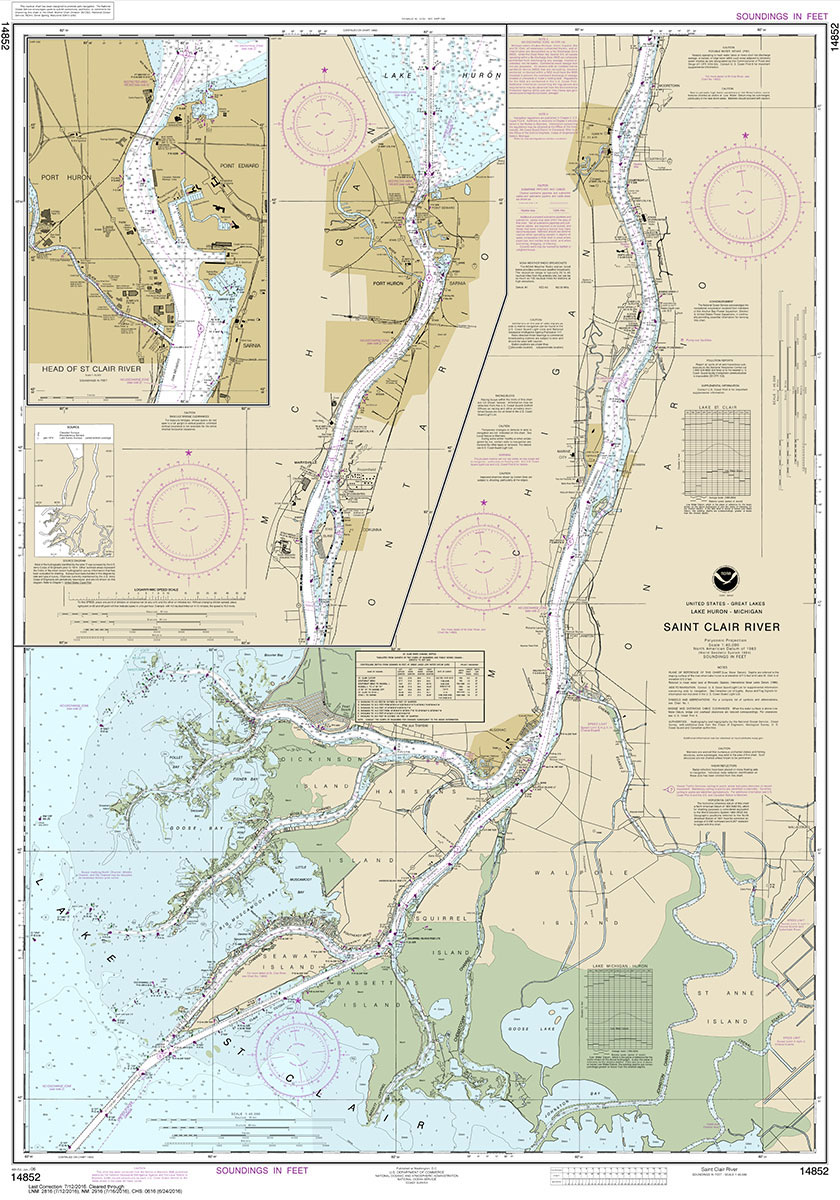
NOAA maintains the nautical charts and publications for U.S. coasts and the Great Lakes. Over a thousand charts cover 95,000 miles of shoreline and 3.4 million square nautical miles of waters.Printed on demand using the most up to date NOAA data and latest Notice to Mariners (NTMs) applied at time of print. Meets United States
NOAA Chart 14853 – SMALL-CRAFT BOOK CHART – Detroit River, Lake St. Clair and St. Clair River (book of 47 charts)
NOAA maintains the nautical charts and publications for U.S. coasts and the Great Lakes. Over a thousand charts cover 95,000 miles of shoreline and 3.4 million square nautical miles of waters.Printed on demand using the most up to date NOAA data and latest Notice to Mariners (NTMs) applied at time of print. Meets United States
NOAA Chart 14854 – Trenton Channel and River Rouge – River Rouge
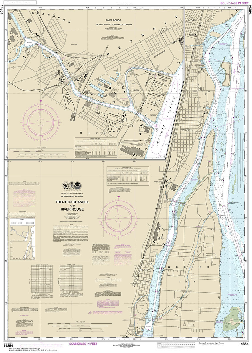
NOAA maintains the nautical charts and publications for U.S. coasts and the Great Lakes. Over a thousand charts cover 95,000 miles of shoreline and 3.4 million square nautical miles of waters.Printed on demand using the most up to date NOAA data and latest Notice to Mariners (NTMs) applied at time of print. Meets United States
NOAA Chart 14836 – Ashtabula Harbor
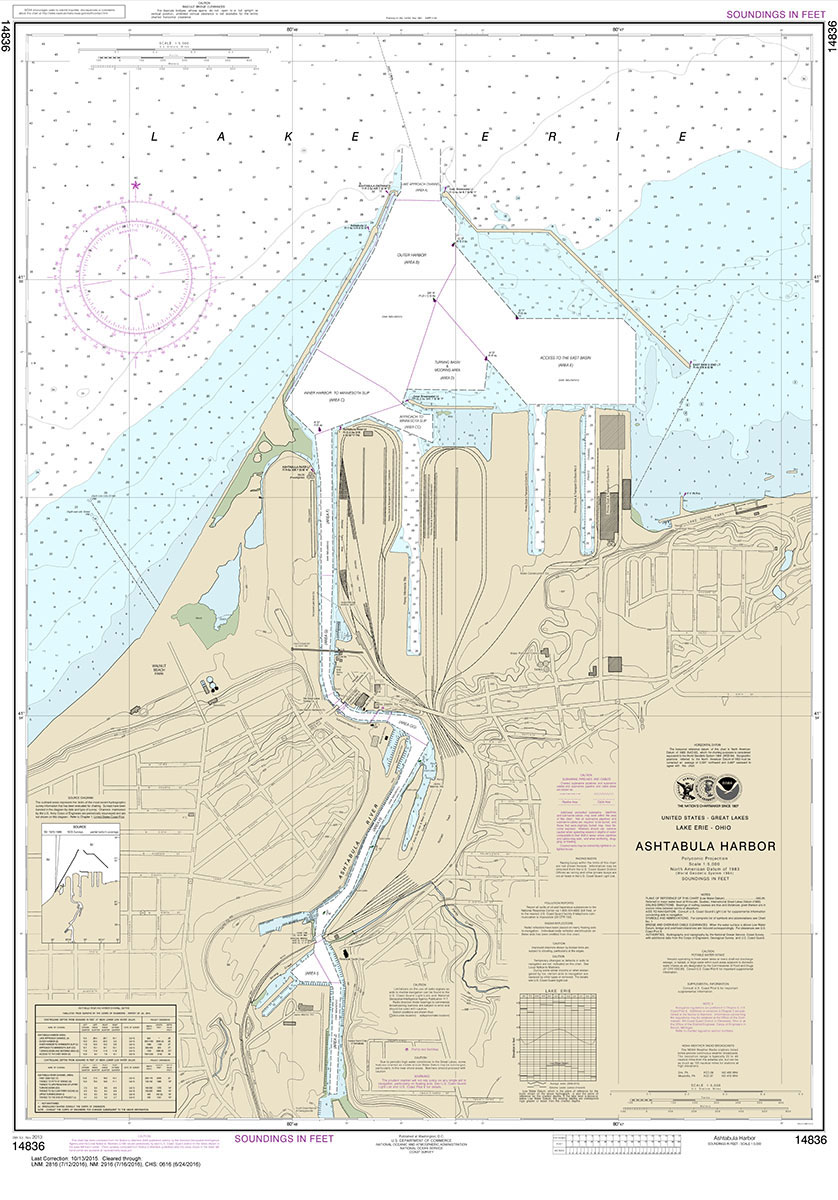
NOAA maintains the nautical charts and publications for U.S. coasts and the Great Lakes. Over a thousand charts cover 95,000 miles of shoreline and 3.4 million square nautical miles of waters.Printed on demand using the most up to date NOAA data and latest Notice to Mariners (NTMs) applied at time of print. Meets United States
NOAA Chart 14837 – Fairport Harbor
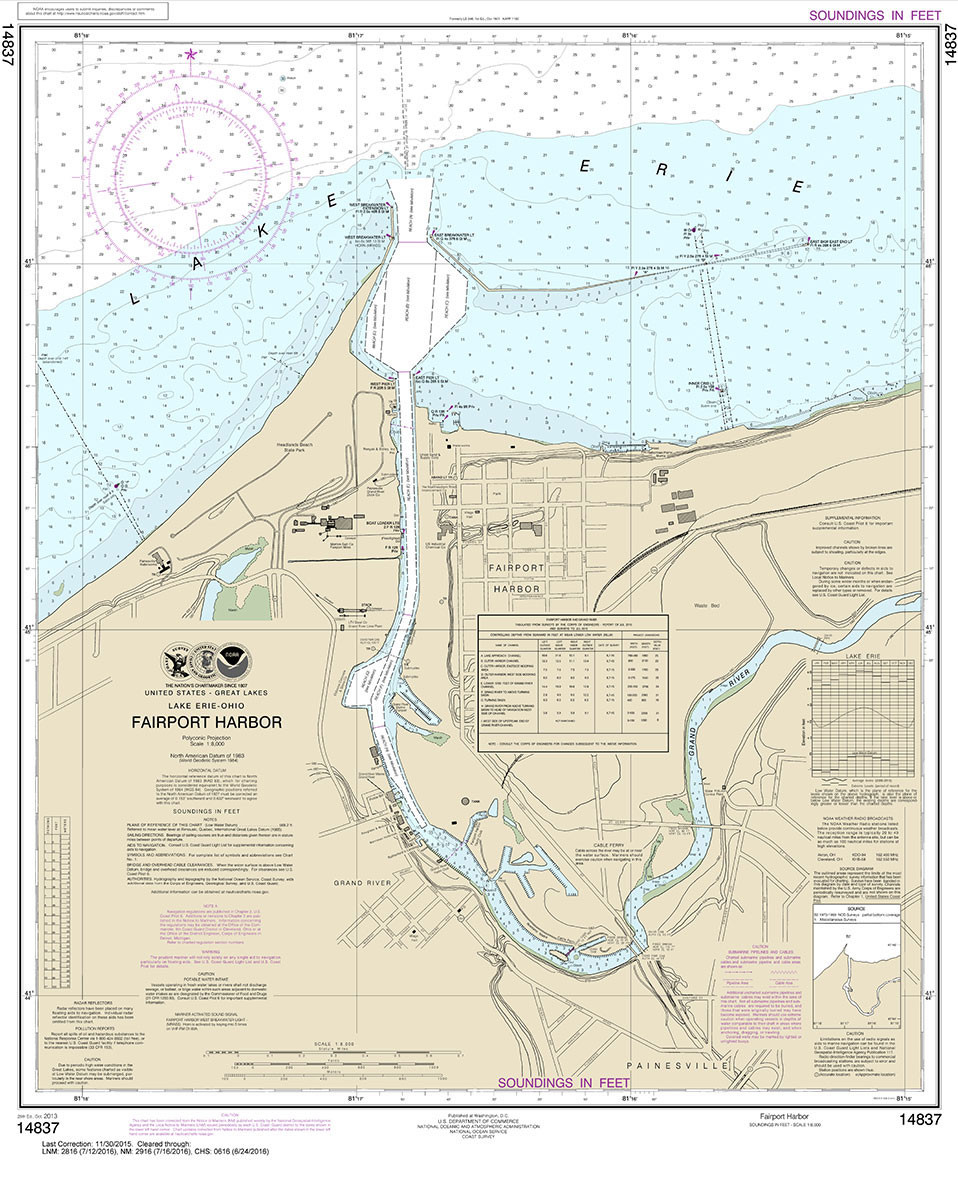
NOAA maintains the nautical charts and publications for U.S. coasts and the Great Lakes. Over a thousand charts cover 95,000 miles of shoreline and 3.4 million square nautical miles of waters.Printed on demand using the most up to date NOAA data and latest Notice to Mariners (NTMs) applied at time of print. Meets United States
NOAA Chart 14816 – Lower Niagara River

NOAA maintains the nautical charts and publications for U.S. coasts and the Great Lakes. Over a thousand charts cover 95,000 miles of shoreline and 3.4 million square nautical miles of waters.Printed on demand using the most up to date NOAA data and latest Notice to Mariners (NTMs) applied at time of print. Meets United States
NOAA Chart 14839 – Cleveland Harbor, including lower Cuyahoga River
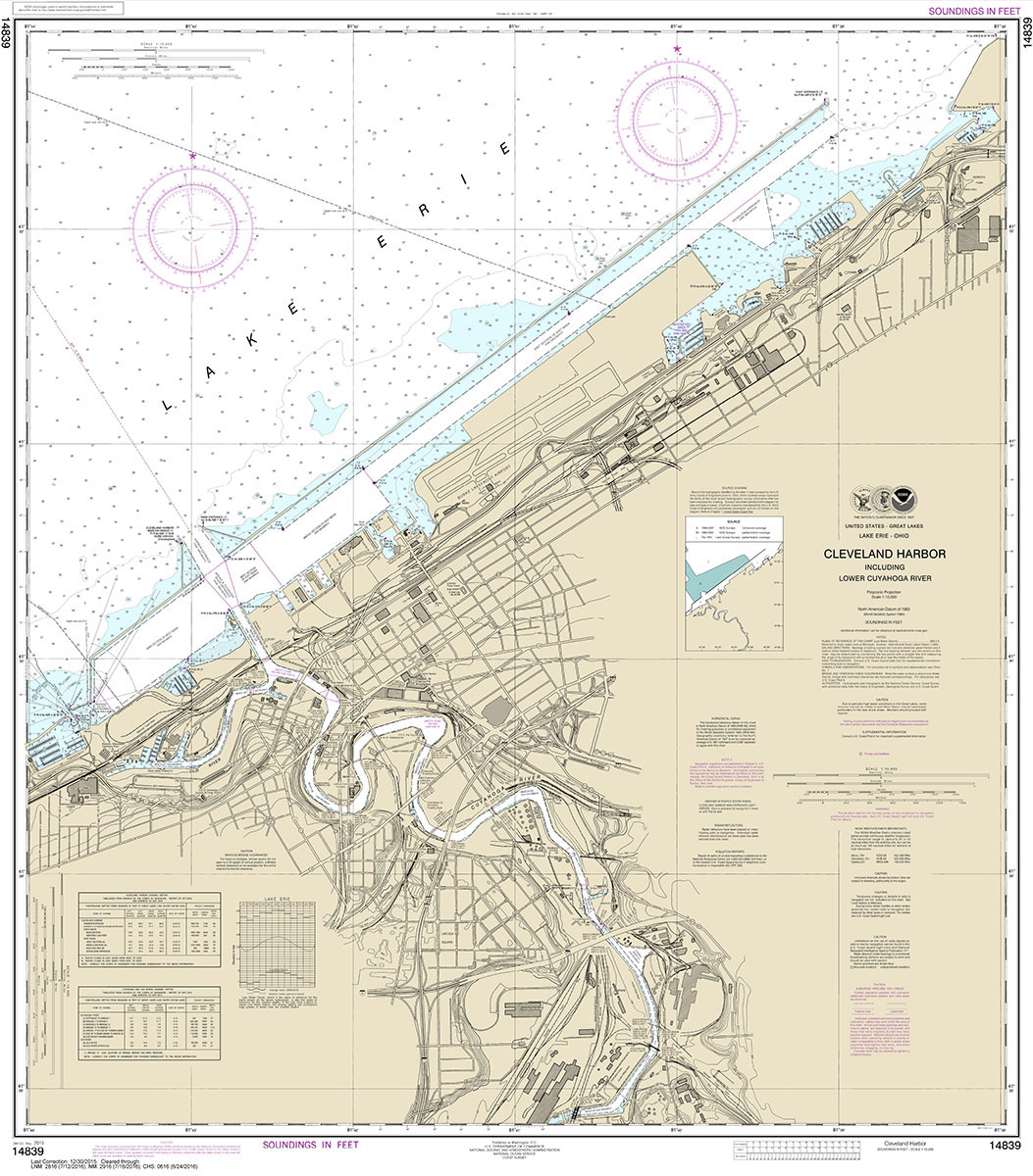
NOAA maintains the nautical charts and publications for U.S. coasts and the Great Lakes. Over a thousand charts cover 95,000 miles of shoreline and 3.4 million square nautical miles of waters.Printed on demand using the most up to date NOAA data and latest Notice to Mariners (NTMs) applied at time of print. Meets United States


