Category Archives: Non-Fiction & Reference
NOAA Chart 14969 – Munising Harbor and Approaches – Munising Harbor
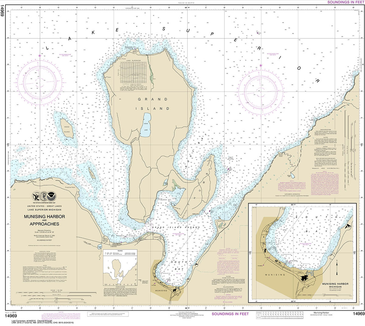
NOAA maintains the nautical charts and publications for U.S. coasts and the Great Lakes. Over a thousand charts cover 95,000 miles of shoreline and 3.4 million square nautical miles of waters.Printed on demand using the most up to date NOAA data and latest Notice to Mariners (NTMs) applied at time of print. Meets United States
NOAA Chart 14990 – Basswood River

***CHART WILL NOT BE UPDATED BY NOAA AFTER 12 JULY 2018, AFTER WHICH IT MAY NOT BE SAFE TO NAVIGATE WITH***NOAA maintains the nautical charts and publications for U.S. coasts and the Great Lakes. Over a thousand charts cover 95,000 miles of shoreline and 3.4 million square nautical miles of waters.Printed on demand using the
NOAA Chart 14970 – Marquette and Presque Isle Harbors
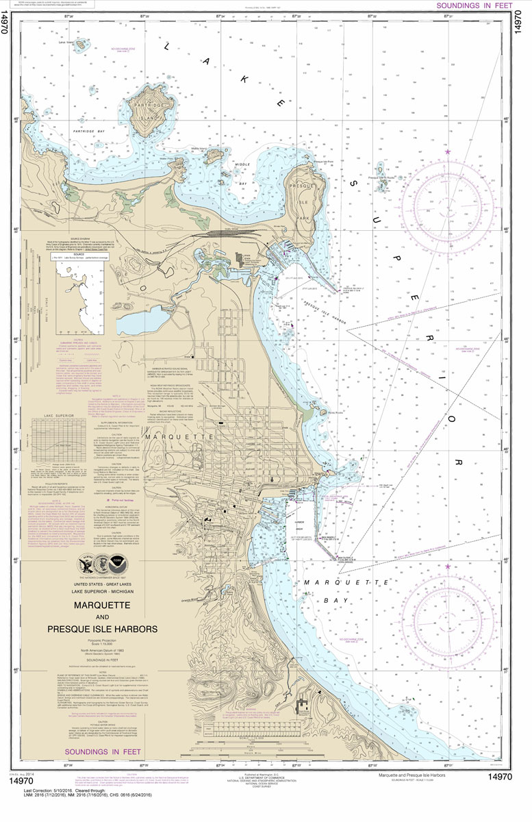
NOAA maintains the nautical charts and publications for U.S. coasts and the Great Lakes. Over a thousand charts cover 95,000 miles of shoreline and 3.4 million square nautical miles of waters.Printed on demand using the most up to date NOAA data and latest Notice to Mariners (NTMs) applied at time of print. Meets United States
NOAA Chart 14991 – Lac la Croix
***CHART WILL NOT BE UPDATED BY NOAA AFTER 12 JULY 2018, AFTER WHICH IT MAY NOT BE SAFE TO NAVIGATE WITH***NOAA maintains the nautical charts and publications for U.S. coasts and the Great Lakes. Over a thousand charts cover 95,000 miles of shoreline and 3.4 million square nautical miles of waters.Printed on demand using the
NOAA Chart 14992 – Sand Point Lake to Lac la Croix
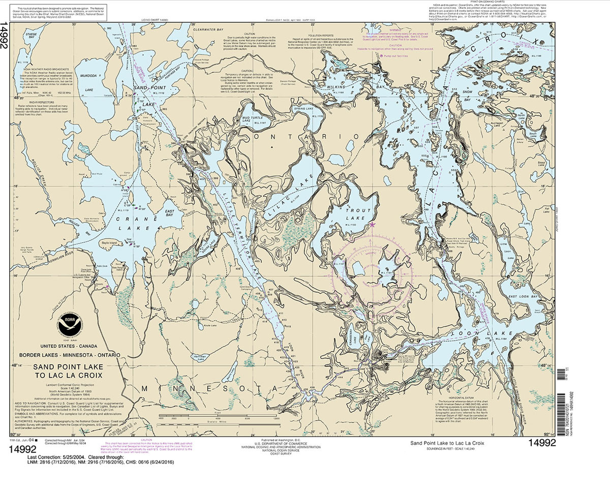
***CHART WILL NOT BE UPDATED BY NOAA AFTER 12 JULY 2018, AFTER WHICH IT MAY NOT BE SAFE TO NAVIGATE WITH***NOAA maintains the nautical charts and publications for U.S. coasts and the Great Lakes. Over a thousand charts cover 95,000 miles of shoreline and 3.4 million square nautical miles of waters.Printed on demand using the
NOAA Chart 14972 – Keweenaw Waterway, including Torch Lake – Hancock and Houghton
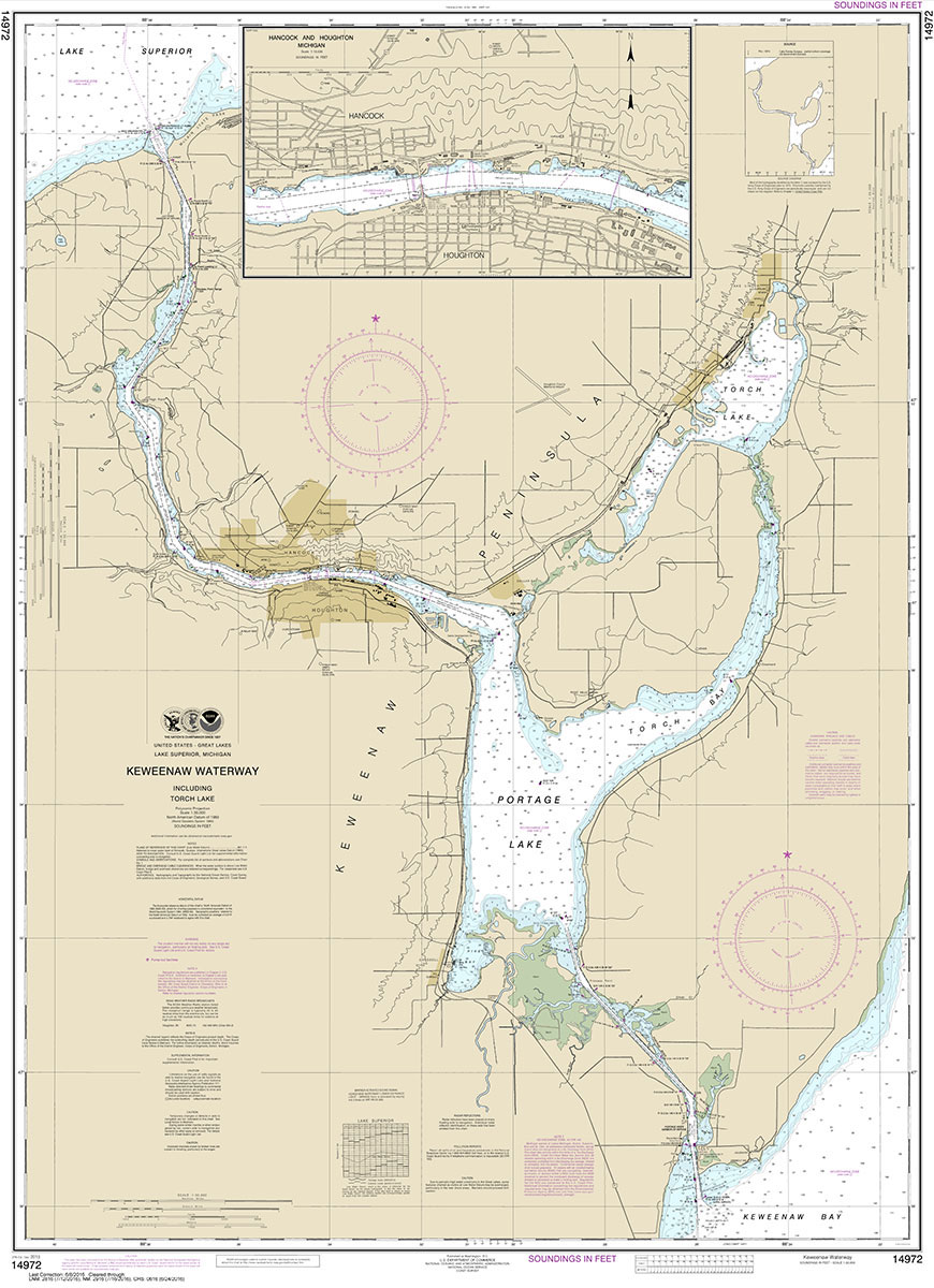
NOAA maintains the nautical charts and publications for U.S. coasts and the Great Lakes. Over a thousand charts cover 95,000 miles of shoreline and 3.4 million square nautical miles of waters.Printed on demand using the most up to date NOAA data and latest Notice to Mariners (NTMs) applied at time of print. Meets United States
NOAA Chart 14973 – Apostle Islands – Bayfield – Pikes Bay – La Pointe Harbor
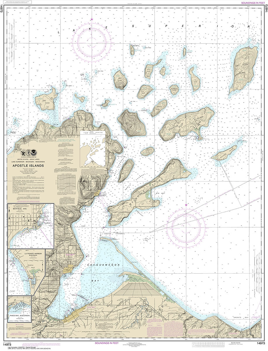
NOAA maintains the nautical charts and publications for U.S. coasts and the Great Lakes. Over a thousand charts cover 95,000 miles of shoreline and 3.4 million square nautical miles of waters.Printed on demand using the most up to date NOAA data and latest Notice to Mariners (NTMs) applied at time of print. Meets United States
NOAA Chart 14974 – Ashland and Washburn Harbors
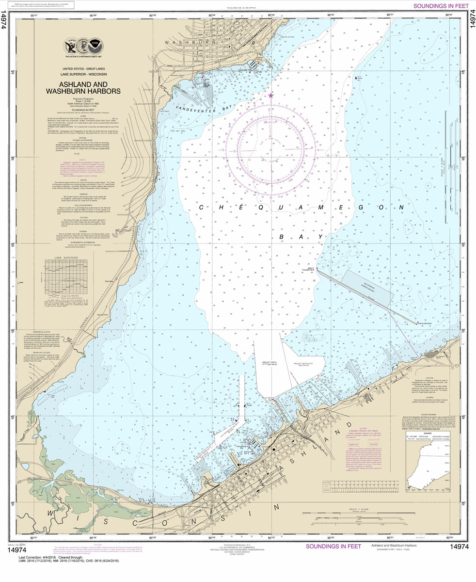
NOAA maintains the nautical charts and publications for U.S. coasts and the Great Lakes. Over a thousand charts cover 95,000 miles of shoreline and 3.4 million square nautical miles of waters.Printed on demand using the most up to date NOAA data and latest Notice to Mariners (NTMs) applied at time of print. Meets United States
NOAA Chart 14975 – Duluth-Superior Harbor – Upper St. Louis River
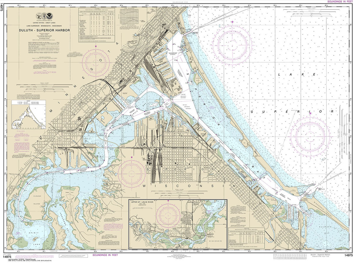
NOAA maintains the nautical charts and publications for U.S. coasts and the Great Lakes. Over a thousand charts cover 95,000 miles of shoreline and 3.4 million square nautical miles of waters.Printed on demand using the most up to date NOAA data and latest Notice to Mariners (NTMs) applied at time of print. Meets United States
NOAA Chart 14976 – Isle Royale
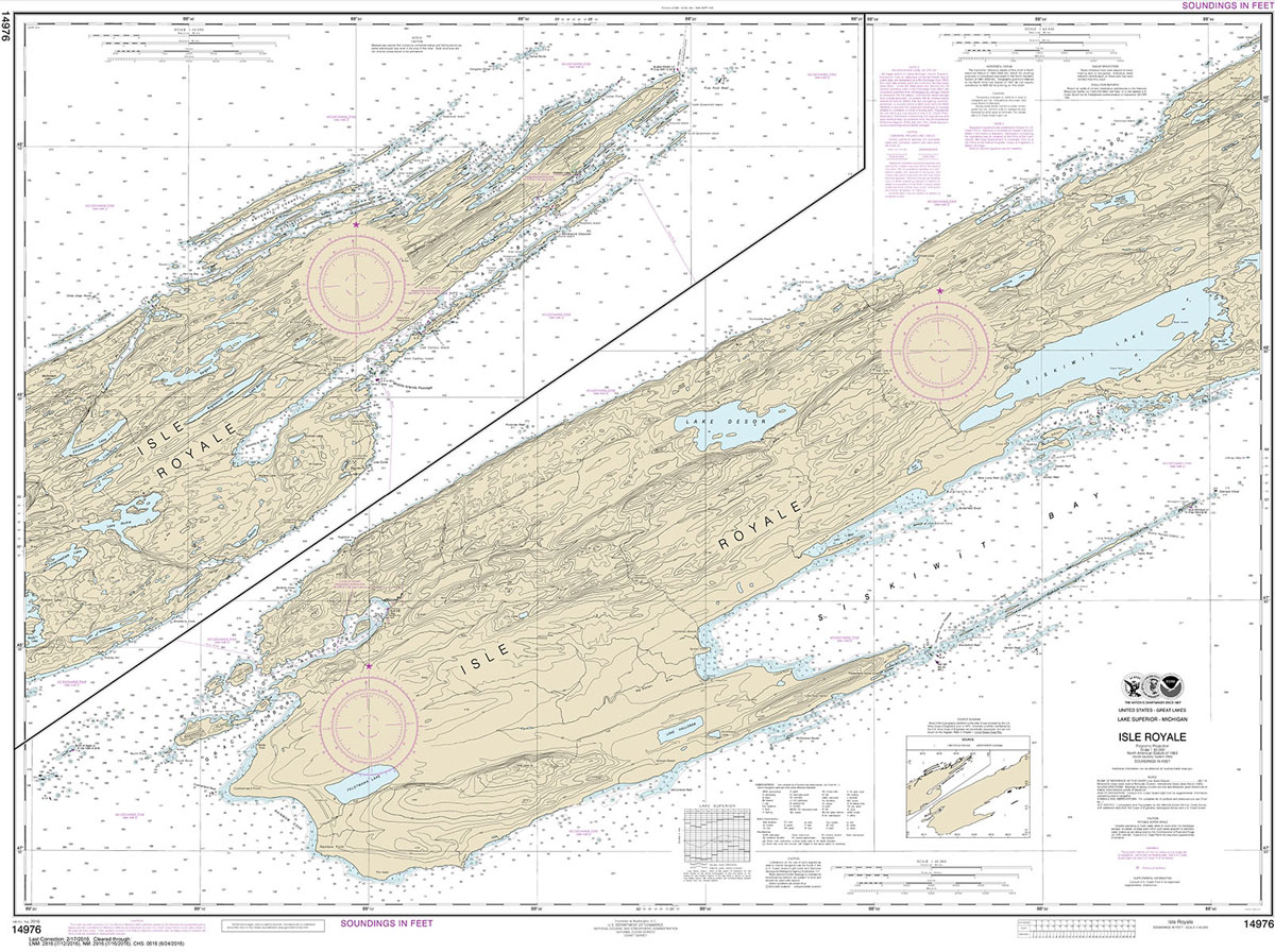
NOAA maintains the nautical charts and publications for U.S. coasts and the Great Lakes. Over a thousand charts cover 95,000 miles of shoreline and 3.4 million square nautical miles of waters.Printed on demand using the most up to date NOAA data and latest Notice to Mariners (NTMs) applied at time of print. Meets United States
NOAA Chart 14982 – North Lake
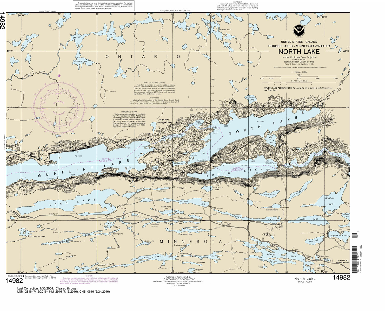
***CHART WILL NOT BE UPDATED BY NOAA AFTER 12 JULY 2018, AFTER WHICH IT MAY NOT BE SAFE TO NAVIGATE WITH***NOAA maintains the nautical charts and publications for U.S. coasts and the Great Lakes. Over a thousand charts cover 95,000 miles of shoreline and 3.4 million square nautical miles of waters.Printed on demand using the
NOAA Chart 14983 – Northern Light Lake
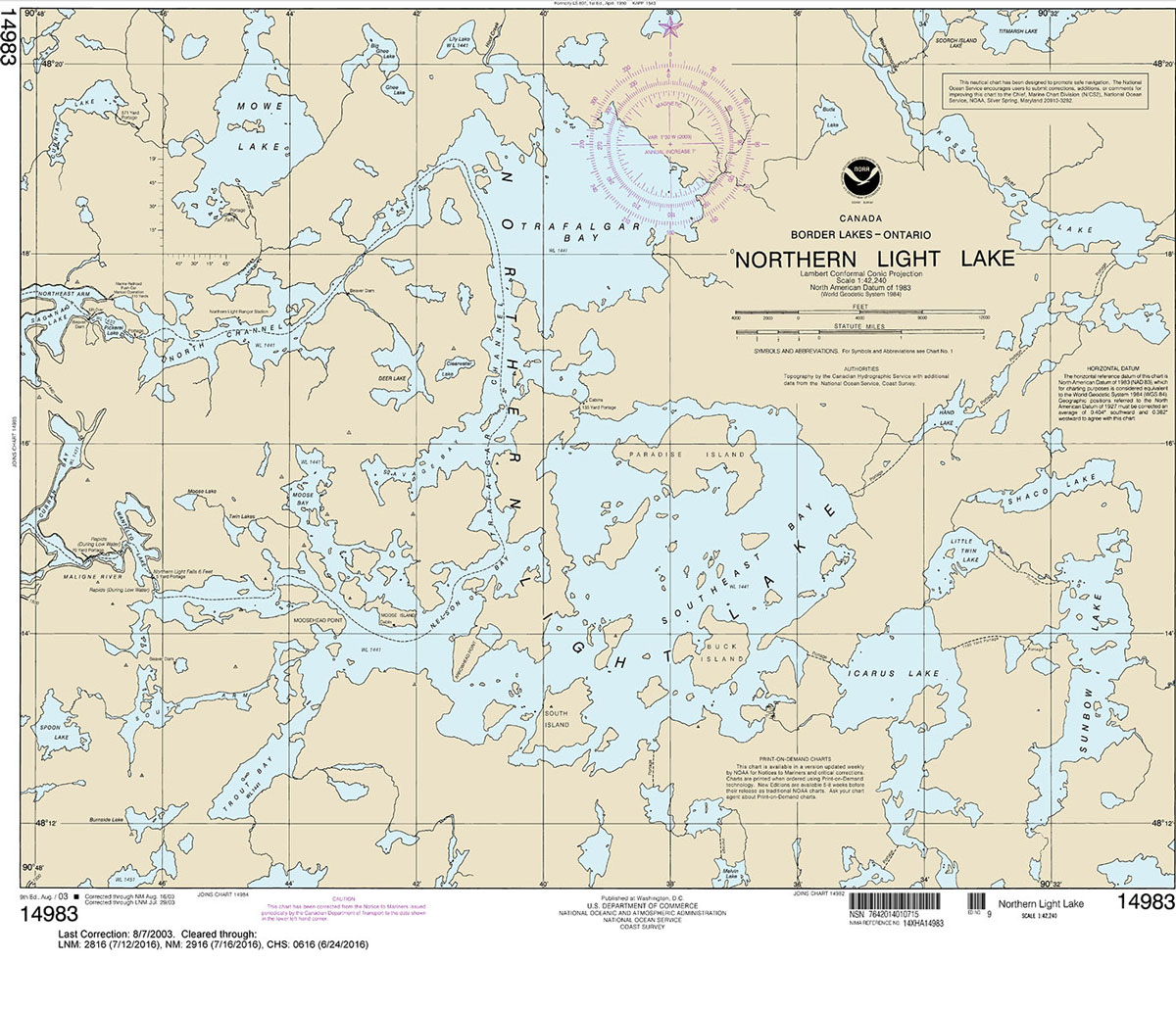
***CHART WILL NOT BE UPDATED BY NOAA AFTER 12 JULY 2018, AFTER WHICH IT MAY NOT BE SAFE TO NAVIGATE WITH***NOAA maintains the nautical charts and publications for U.S. coasts and the Great Lakes. Over a thousand charts cover 95,000 miles of shoreline and 3.4 million square nautical miles of waters.Printed on demand using the
NOAA Chart 14984 – Sea Gull Lake
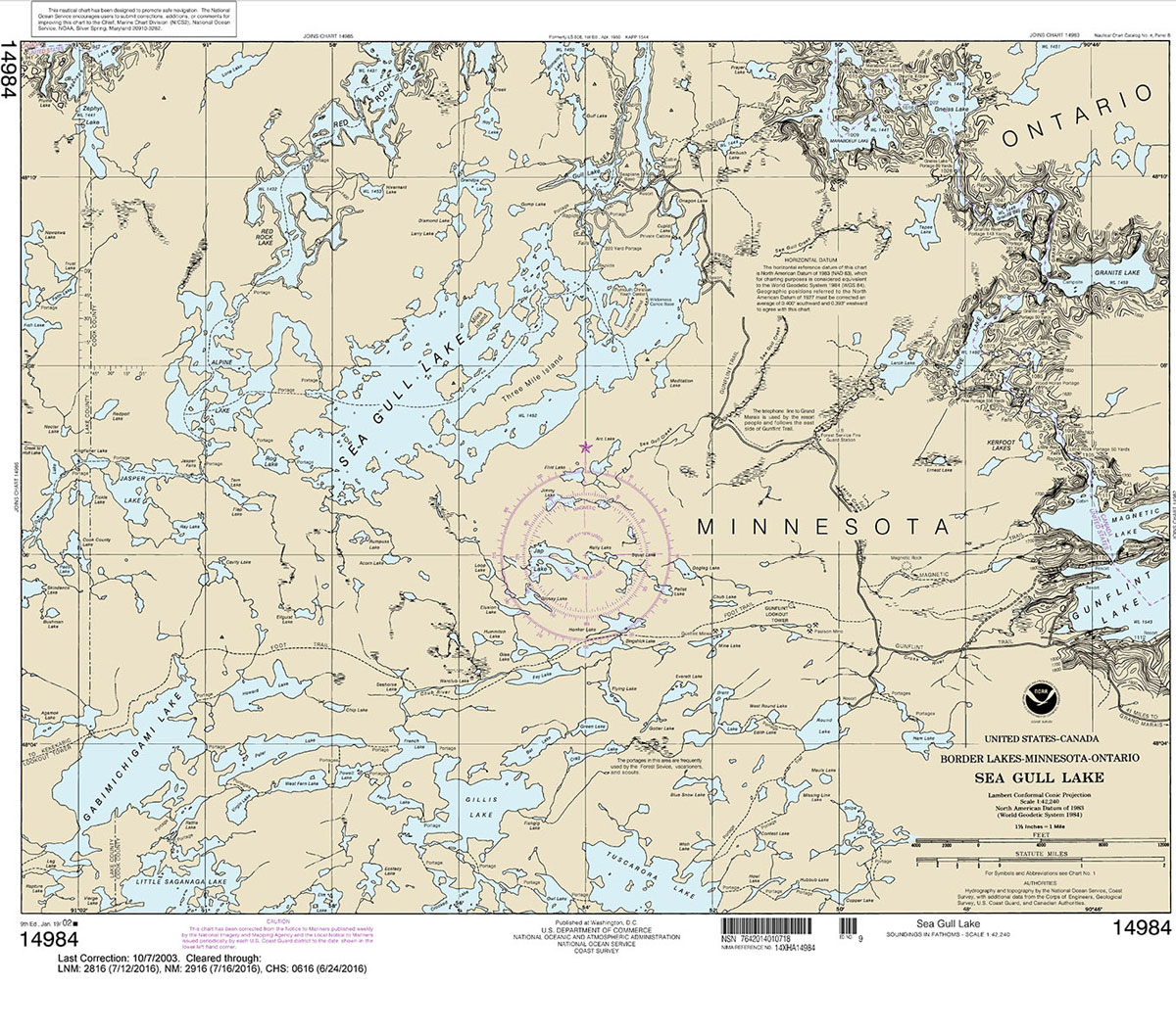
***CHART WILL NOT BE UPDATED BY NOAA AFTER 12 JULY 2018, AFTER WHICH IT MAY NOT BE SAFE TO NAVIGATE WITH***NOAA maintains the nautical charts and publications for U.S. coasts and the Great Lakes. Over a thousand charts cover 95,000 miles of shoreline and 3.4 million square nautical miles of waters.Printed on demand using the
NOAA Chart 14985 – Saganaga Lake
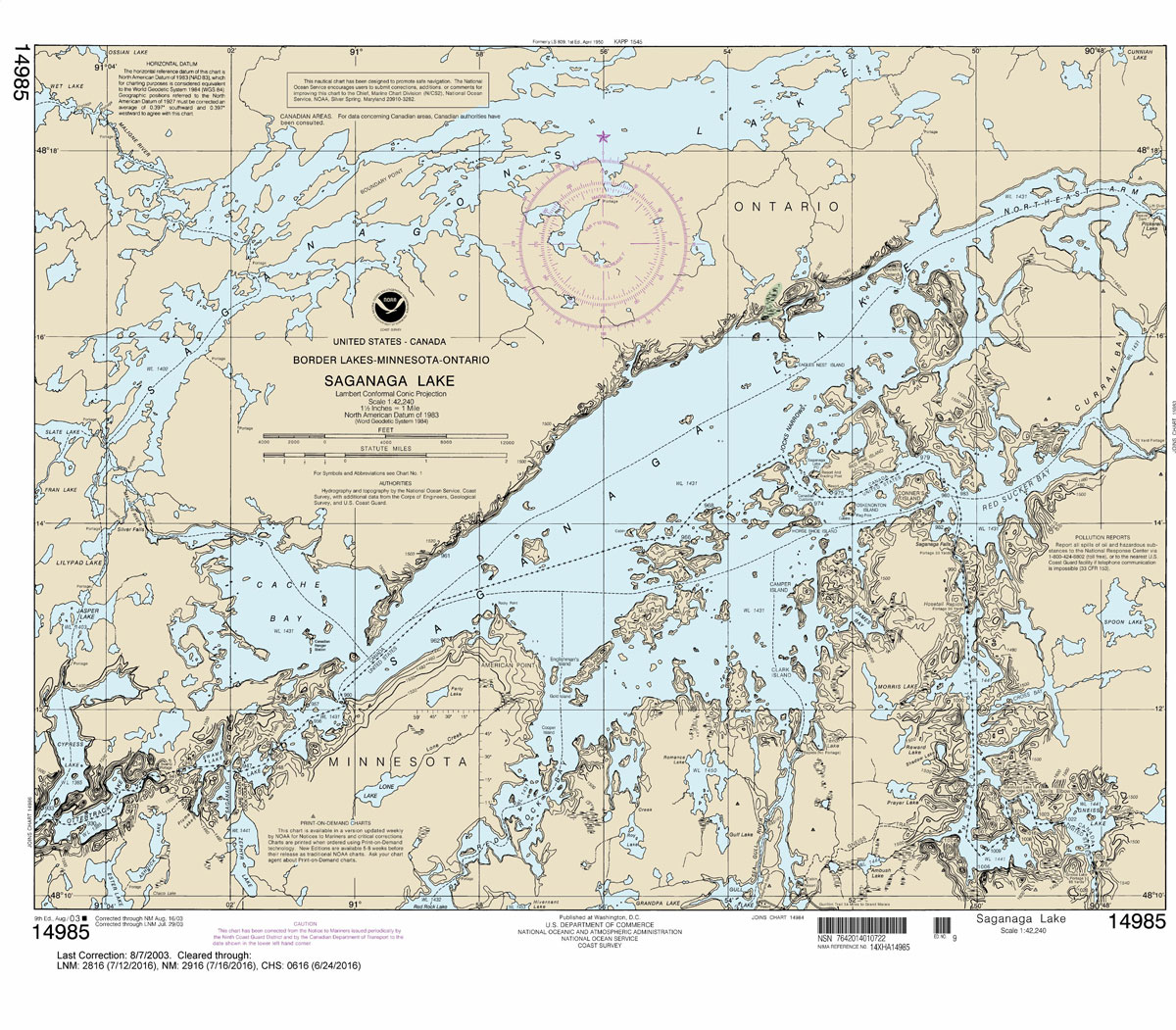
***CHART WILL NOT BE UPDATED BY NOAA AFTER 12 JULY 2018, AFTER WHICH IT MAY NOT BE SAFE TO NAVIGATE WITH***NOAA maintains the nautical charts and publications for U.S. coasts and the Great Lakes. Over a thousand charts cover 95,000 miles of shoreline and 3.4 million square nautical miles of waters.Printed on demand using the
NOAA Chart 14925 – Racine Harbor
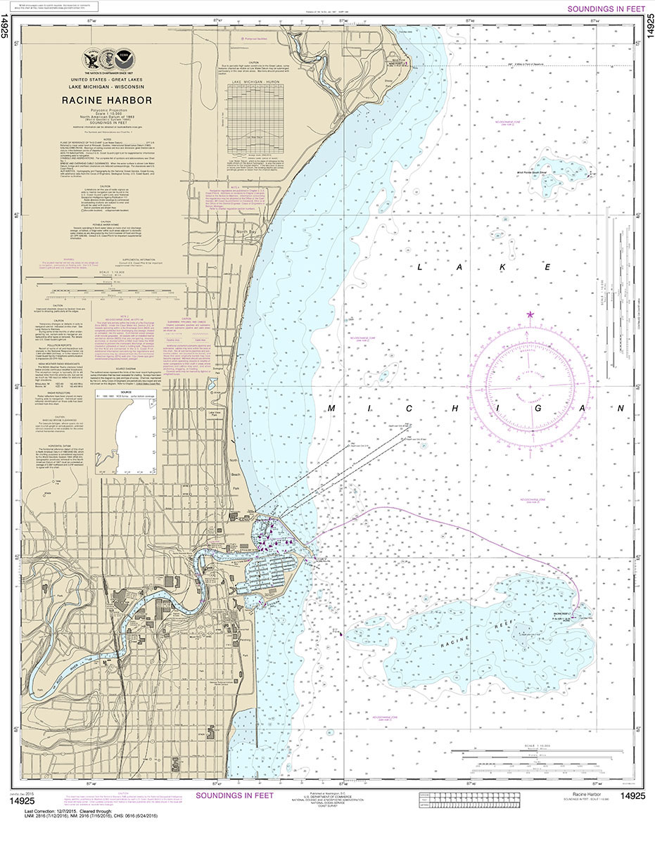
NOAA maintains the nautical charts and publications for U.S. coasts and the Great Lakes. Over a thousand charts cover 95,000 miles of shoreline and 3.4 million square nautical miles of waters.Printed on demand using the most up to date NOAA data and latest Notice to Mariners (NTMs) applied at time of print. Meets United States
NOAA Chart 14964 – Big Bay Point to Redridge – Grand Traverse Bay Harbor – Lac La Belle Harbor – Copper Harbor – Eagle Harbor
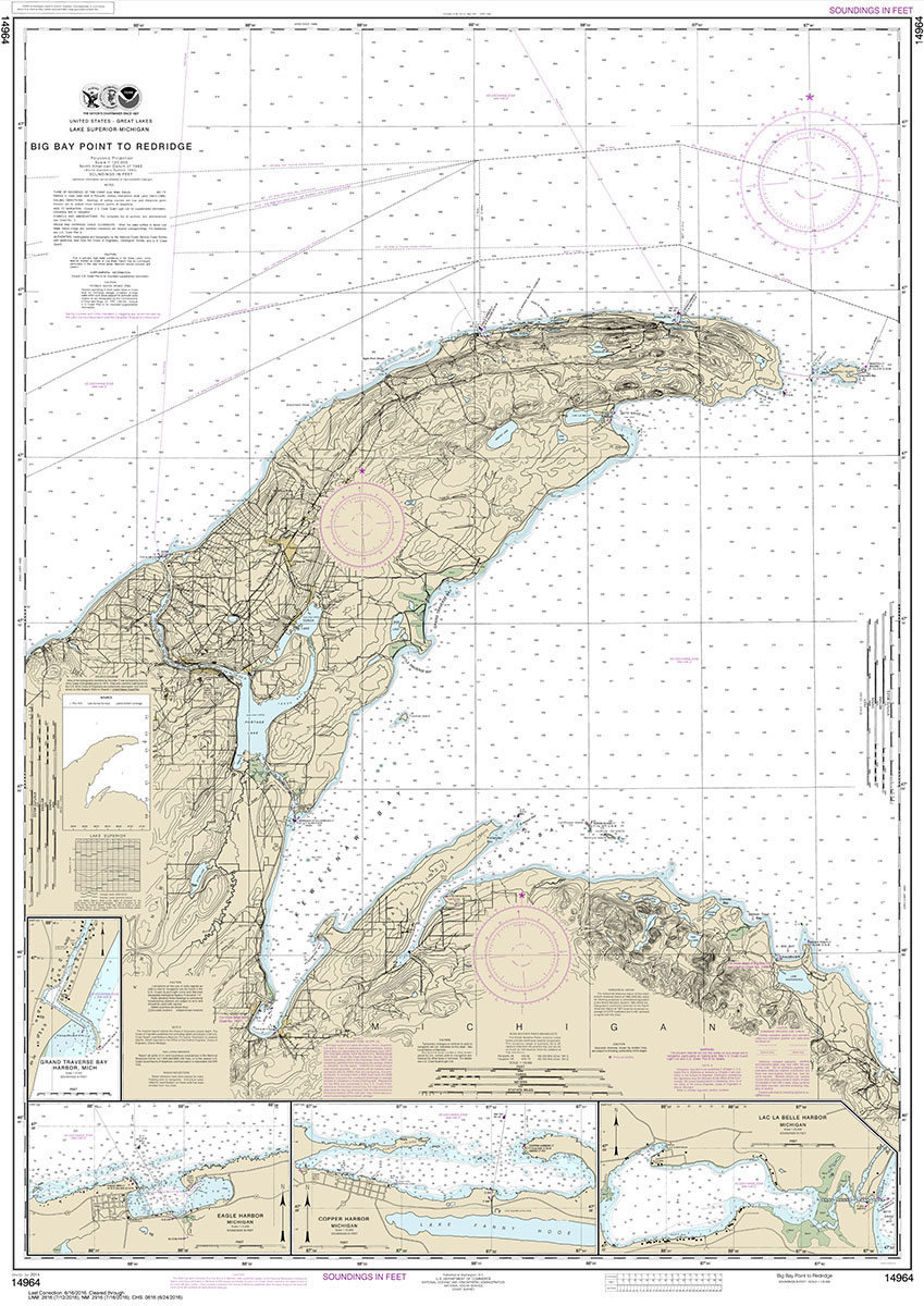
NOAA maintains the nautical charts and publications for U.S. coasts and the Great Lakes. Over a thousand charts cover 95,000 miles of shoreline and 3.4 million square nautical miles of waters.Printed on demand using the most up to date NOAA data and latest Notice to Mariners (NTMs) applied at time of print. Meets United States
NOAA Chart 14927 – Chicago Lake Front – Gary Harbor
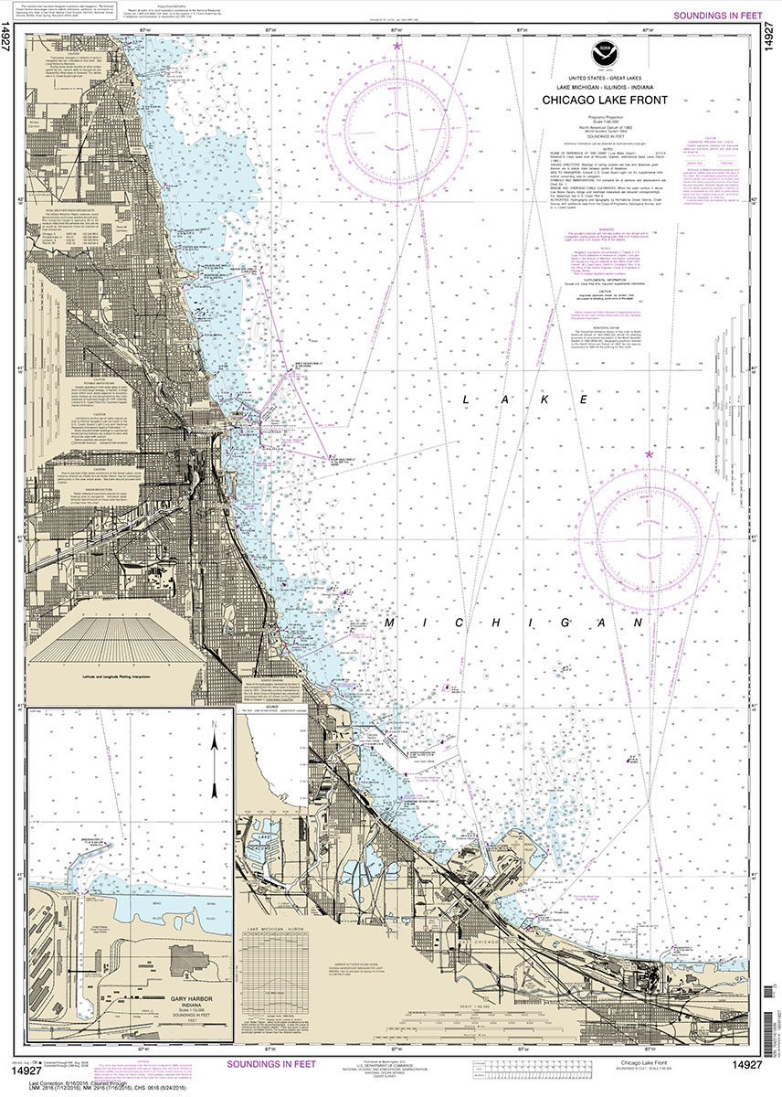
NOAA maintains the nautical charts and publications for U.S. coasts and the Great Lakes. Over a thousand charts cover 95,000 miles of shoreline and 3.4 million square nautical miles of waters.Printed on demand using the most up to date NOAA data and latest Notice to Mariners (NTMs) applied at time of print. Meets United States
NOAA Chart 14965 – Redridge to Saxon Harbor – Ontonagon Harbor – Black River Harbor – Saxon Harbor
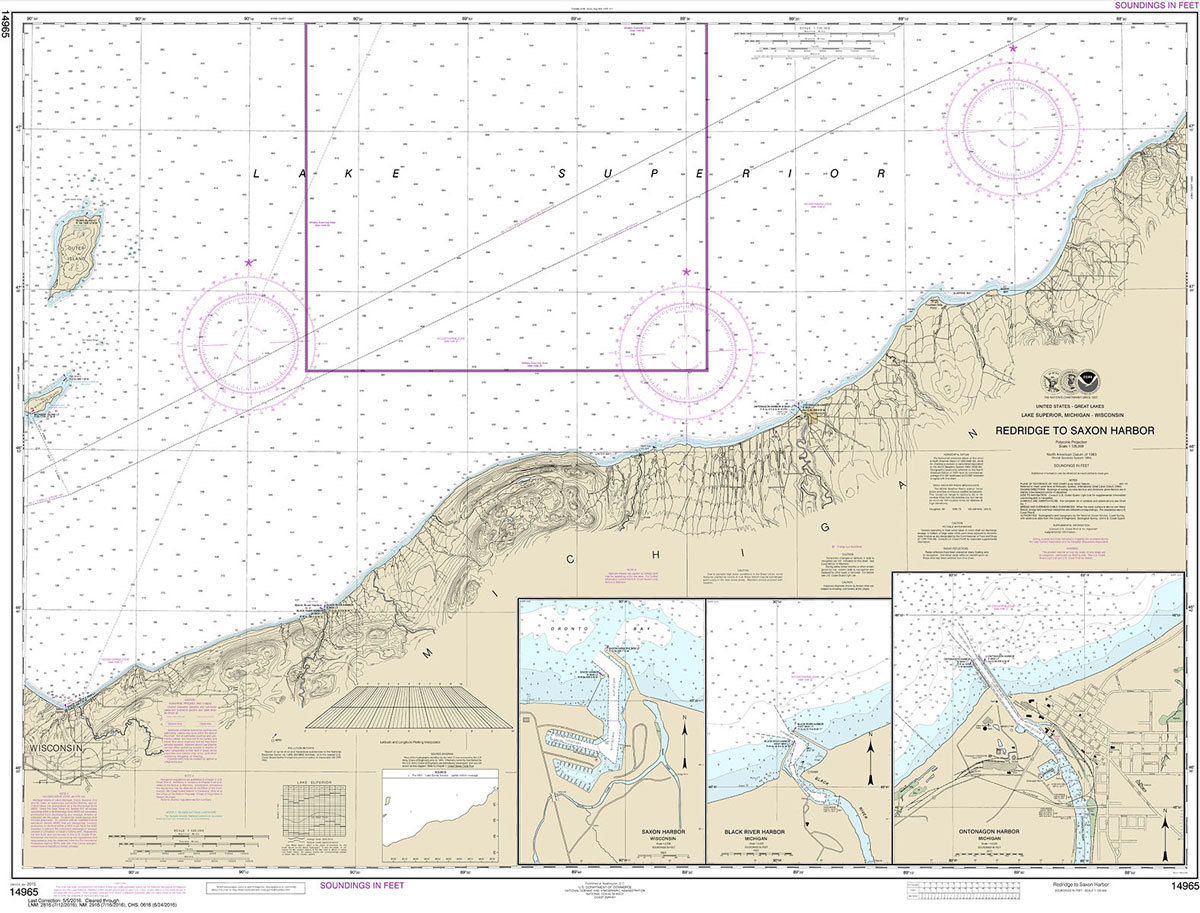
NOAA maintains the nautical charts and publications for U.S. coasts and the Great Lakes. Over a thousand charts cover 95,000 miles of shoreline and 3.4 million square nautical miles of waters.Printed on demand using the most up to date NOAA data and latest Notice to Mariners (NTMs) applied at time of print. Meets United States
NOAA Chart 14928 – Chicago Harbor
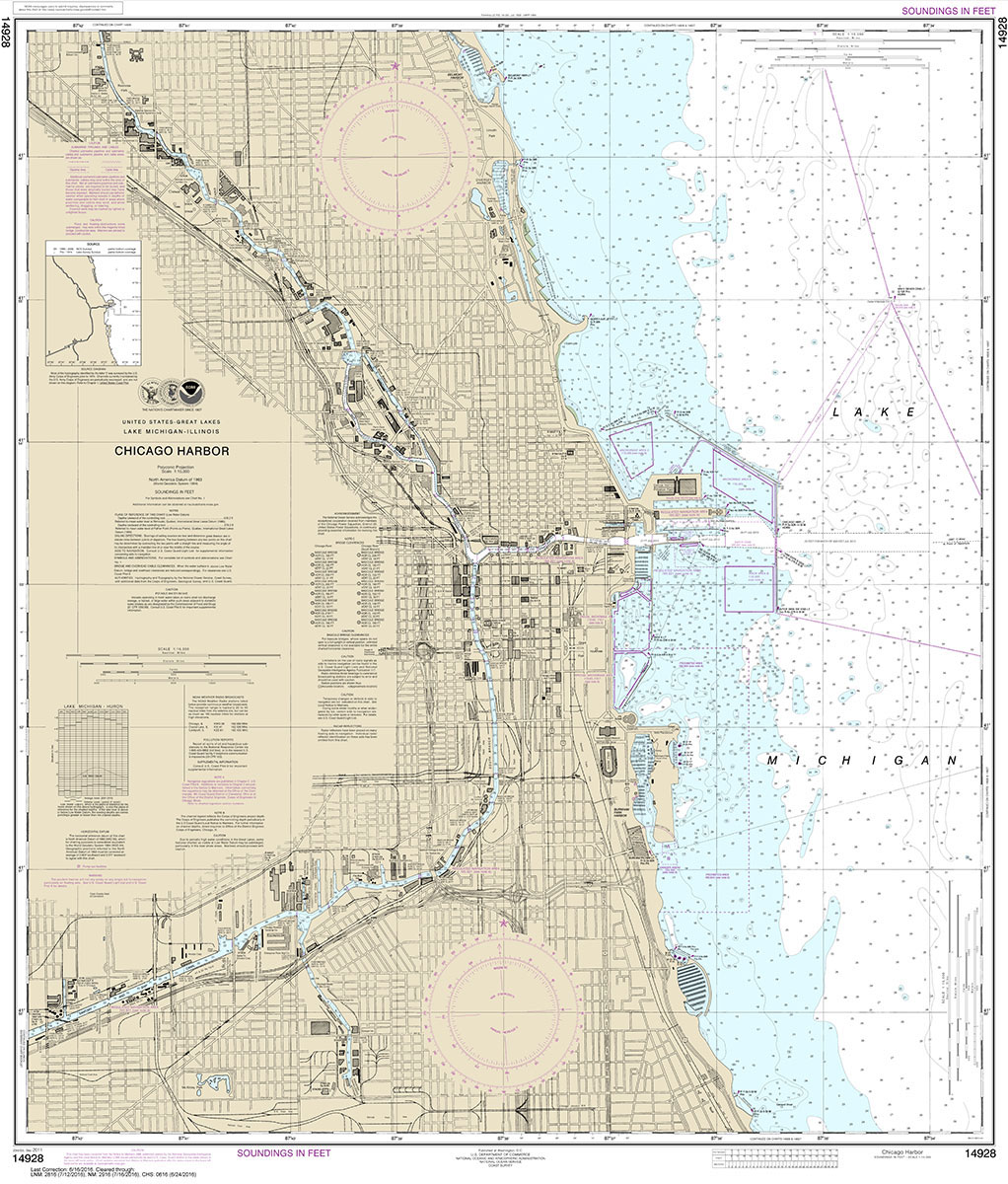
NOAA maintains the nautical charts and publications for U.S. coasts and the Great Lakes. Over a thousand charts cover 95,000 miles of shoreline and 3.4 million square nautical miles of waters.Printed on demand using the most up to date NOAA data and latest Notice to Mariners (NTMs) applied at time of print. Meets United States


