Category Archives: Non-Fiction & Reference
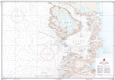
1500 Greenland Westcoast – Rifkol to Hareo
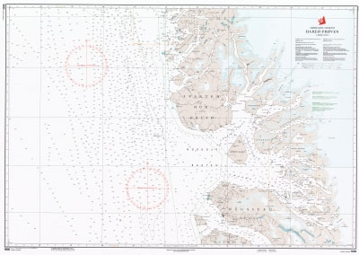
1600 Greenland Westcoast – Hareo to Proven
85 Faroe Islands, Harbours and Anchorages, North Eastern Part
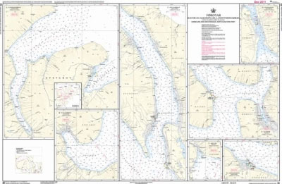
Official charts for the Faroe Islands produced by the Danish Hydrographic Office.The charts are ordered upon customer demand, therefore please contact us if you require the charts urgently.For any further information, you can contact maritime@stanfords.co.uk.Plans included:- Funningsfjordur- Fuglafjordur- Skalafjordur- Hvannasund- Klaksvik- Gotuvik- Leirviksfjordur
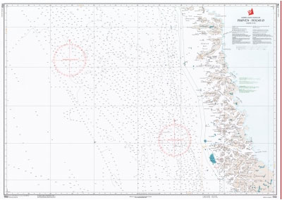
1700 Greenland Westcoast – Proven to Holms
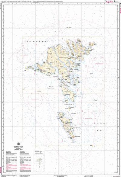
86 Faroe Islands, Harbours and Anchorages, Southern Part
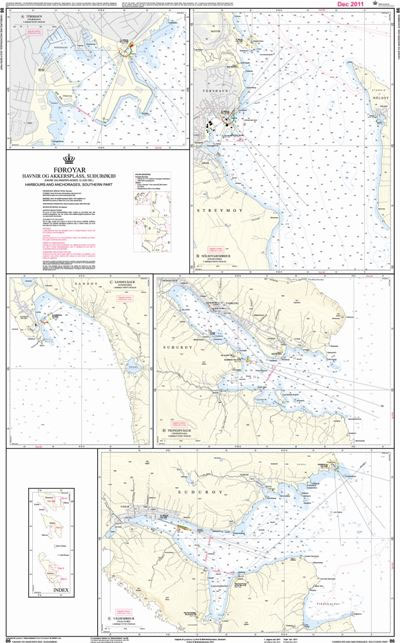
Official charts for the Faroe Islands produced by the Danish Hydrographic Office.The charts are ordered upon customer demand, therefore please contact us if you require the charts urgently.For any further information, you can contact maritime@stanfords.co.uk.Plans included:- Torshavn- Nolsoyarfjordur- Sandsvagur- Trongisvagur- Vagsfjordur
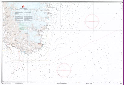
2100 Greenland Eastcoast – Kap Farvel to Kap Herluf Trolle
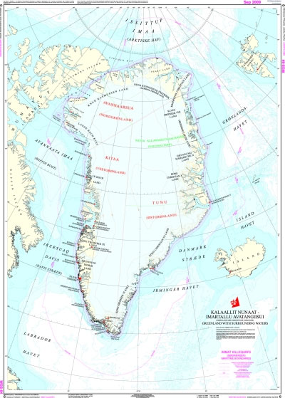
Chart G – Greenland with Surrounding Waters
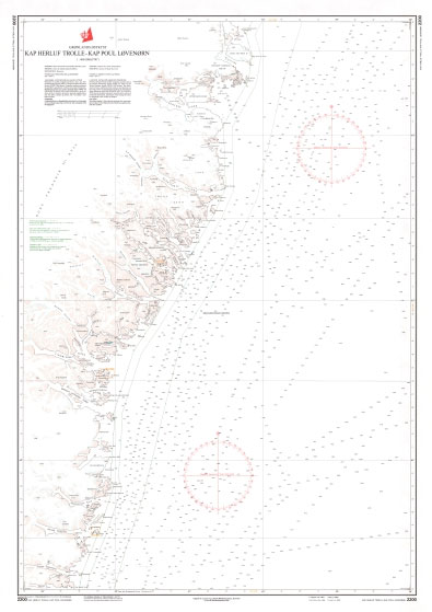
2200 Greenland Eastcoast – Kap Herluf Trolle to Kap Poul Lovenorn
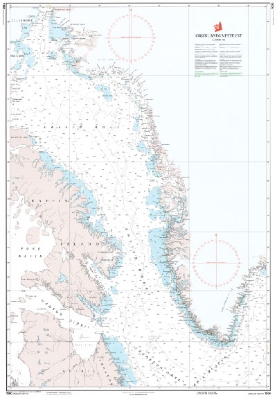
1000 Greenland Westcoast
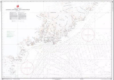
2300 Greenland Eastcoast – Kap Poul Lovenorn to Kap Gustav Holm
1001 Greenland Southcoast – Kap Poul Lovenorn, Kap Farvel, Godthab
Official charts for the coast of Greenland produced by the Danish Hydrographic Office. The charts are ordered upon customer demand, therefore please contact us if you require the charts urgently.For any further information, you can contact maritime@stanfords.co.uk.
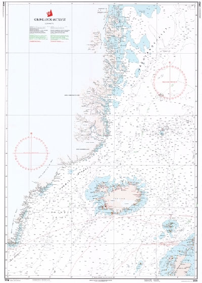
2000 Greenland Eastcoast
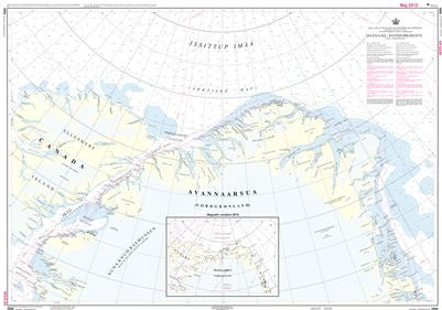
3000 Greenland Northcoast – Thule to Danmarkshavn
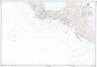
1100 Greenland Westcoast – Kap Farvel to Arsuk
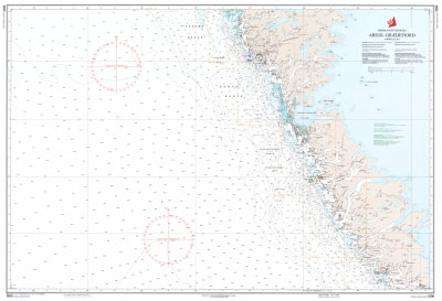
1200 Greenland Westcoast – Arsuk to Graedefjord
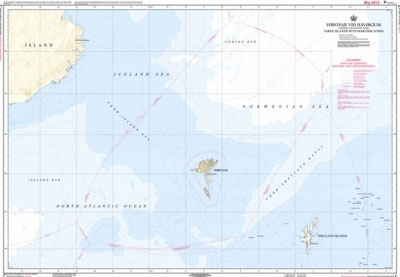
Chart F – Faroe Islands with Maritime Zones
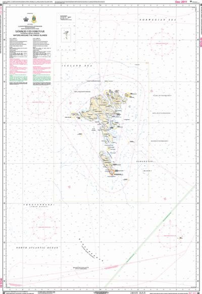
80 The Waters around the Faroe Islands
SHOM Chart 5966 – Carte Polaire Nord en projection stรฉrรฉographique – dรฉclinaison magnรฉtique 2010
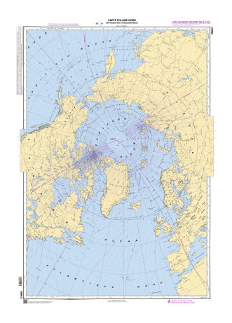
PLEASE NOTE: the chart will be ordered for you if not currently in stock. Please allow 1-2 weeks for the chart to reach Stanfords. SHOM charts are produced by the French Government and comply with Safety of Life at Sea (SOLAS) regulations. They are ideal for professional, commercial and recreational use. Charts within the series
SHOM Chart 7440 – De Vieux Boucau ร la Baie de Fontarabie
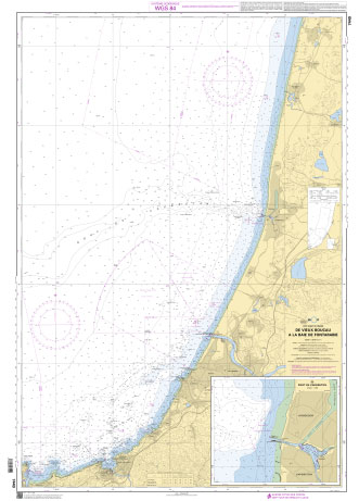
PLEASE NOTE: the chart will be ordered for you if not currently in stock. Please allow 1-2 weeks for the chart to reach Stanfords. SHOM charts are produced by the French Government and comply with Safety of Life at Sea (SOLAS) regulations. They are ideal for professional, commercial and recreational use. Charts within the series


