Category Archives: Non-Fiction & Reference

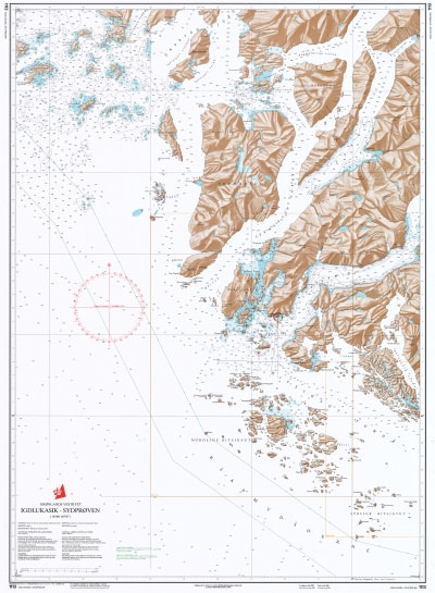
1113 Greenland Westcoast – Igdlukasik to Sydproven

Official charts for the coast of Greenland produced by the Danish Hydrographic Office. The charts are ordered upon customer demand, therefore please contact us if you require the charts urgently.For any further information, you can contact maritime@stanfords.co.uk.

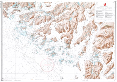
1114 Greenland Westcoast – Sydproven to Julianehab

Official charts for the coast of Greenland produced by the Danish Hydrographic Office. The charts are ordered upon customer demand, therefore please contact us if you require the charts urgently.For any further information, you can contact maritime@stanfords.co.uk.

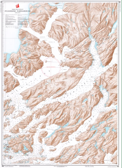
1115 Greenland Westcoast – Julianehab to Narssarssuaq and Igaliko Fjord

Official charts for the coast of Greenland produced by the Danish Hydrographic Office. The charts are ordered upon customer demand, therefore please contact us if you require the charts urgently.For any further information, you can contact maritime@stanfords.co.uk.

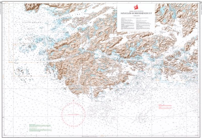
1117 Greenland Westcoast – Magelob to Kobberminebugt

Official charts for the coast of Greenland produced by the Danish Hydrographic Office. The charts are ordered upon customer demand, therefore please contact us if you require the charts urgently.For any further information, you can contact maritime@stanfords.co.uk.

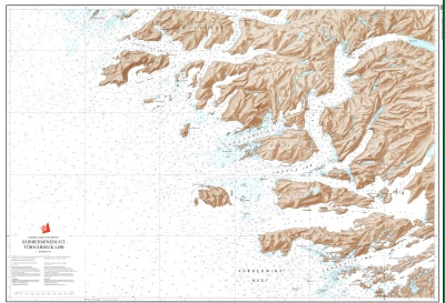
1118 Greenland Westcoast – Kobberminebugt to Tornarssuk Lob

Official charts for the coast of Greenland produced by the Danish Hydrographic Office. The charts are ordered upon customer demand, therefore please contact us if you require the charts urgently.For any further information, you can contact maritime@stanfords.co.uk.

1210 Greenland Westcoast – Tornarssuk Lob to Frederikshab

Official charts for the coast of Greenland produced by the Danish Hydrographic Office. The charts are ordered upon customer demand, therefore please contact us if you require the charts urgently.For any further information, you can contact maritime@stanfords.co.uk.

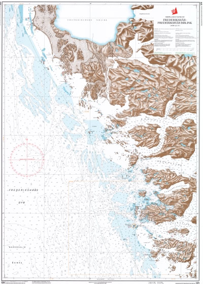
1211 Greenland Westcoast – Frederikshab to Frederikshab Isblink

Official charts for the coast of Greenland produced by the Danish Hydrographic Office. The charts are ordered upon customer demand, therefore please contact us if you require the charts urgently.For any further information, you can contact maritime@stanfords.co.uk.

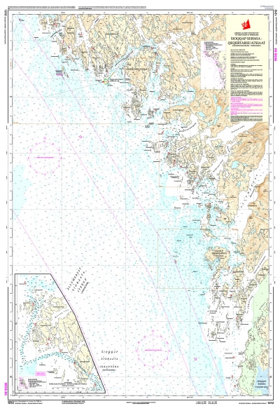
1212 Greenland Westcoast – Sioqqap Sermia, Qeqertarsuatsiaat (Frederikshab Isblink ‘“ Fiskenรฆsset)

Official charts for the coast of Greenland produced by the Danish Hydrographic Office. The charts are ordered upon customer demand, therefore please contact us if you require the charts urgently.For any further information, you can contact maritime@stanfords.co.uk.

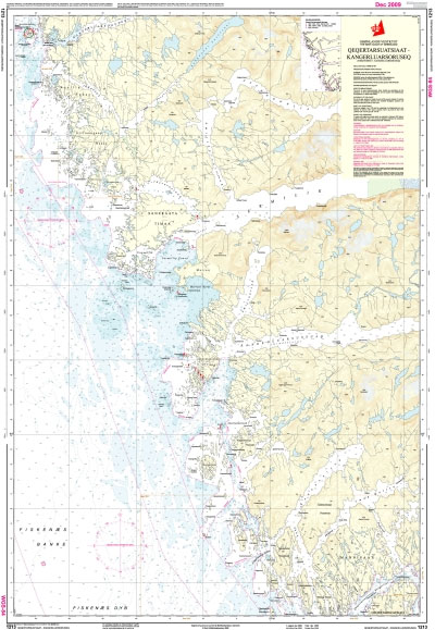
1213 Greenland Westcoast – Qeqertarsuatsiaat to Kangerluarsoruseq (Fiskenรฆsset to Kangerluarsoruseq)

Official charts for the coast of Greenland produced by the Danish Hydrographic Office. The charts are ordered upon customer demand, therefore please contact us if you require the charts urgently.For any further information, you can contact maritime@stanfords.co.uk.

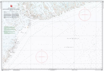
2400 Greenland Eastcoast – Kap Gustav Holm to Kap Vedel

Official charts for the coast of Greenland produced by the Danish Hydrographic Office. The charts are ordered upon customer demand, therefore please contact us if you require the charts urgently.For any further information, you can contact maritime@stanfords.co.uk.

1310 Greenland Westcoast – Kangerluarsoruseq to Nuuk (Kangerluarsoruseq to Godthab)

Official charts for the coast of Greenland produced by the Danish Hydrographic Office. The charts are ordered upon customer demand, therefore please contact us if you require the charts urgently.For any further information, you can contact maritime@stanfords.co.uk.

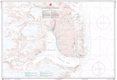
2600 Greenland Eastcoast – Kap Brewster to Kap Simpson

Official charts for the coast of Greenland produced by the Danish Hydrographic Office. The charts are ordered upon customer demand, therefore please contact us if you require the charts urgently.For any further information, you can contact maritime@stanfords.co.uk.

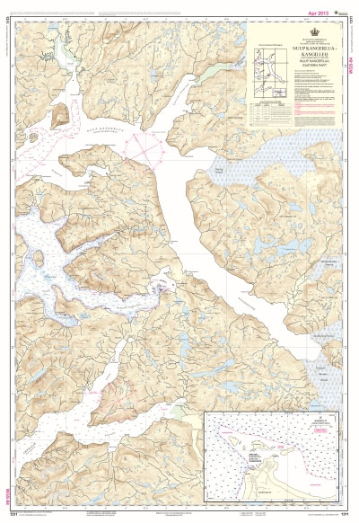
1311 Greenland Westcoast – Nuup Kangerlua Kangilleq (Godthabsfjord) Eastern part

Official charts for the coast of Greenland produced by the Danish Hydrographic Office. The charts are ordered upon customer demand, therefore please contact us if you require the charts urgently.For any further information, you can contact maritime@stanfords.co.uk.

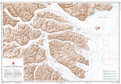
2701 Greenland Eastcoast – Kap Simpson to Hold with Hope

Official charts for the coast of Greenland produced by the Danish Hydrographic Office. The charts are ordered upon customer demand, therefore please contact us if you require the charts urgently.For any further information, you can contact maritime@stanfords.co.uk.

1312 Greenland Westcoast – Nuup Kangerlua Killeq (Godthabsfjord), Western part

Official charts for the coast of Greenland produced by the Danish Hydrographic Office. The charts are ordered upon customer demand, therefore please contact us if you require the charts urgently.For any further information, you can contact maritime@stanfords.co.uk.

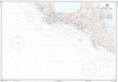
1100 Greenland Westcoast – Kap Farvel to Arsuk

Official charts for the coast of Greenland produced by the Danish Hydrographic Office. The charts are ordered upon customer demand, therefore please contact us if you require the charts urgently.For any further information, you can contact maritime@stanfords.co.uk.

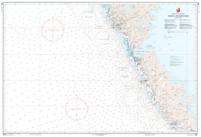
1200 Greenland Westcoast – Arsuk to Graedefjord

Official charts for the coast of Greenland produced by the Danish Hydrographic Office. The charts are ordered upon customer demand, therefore please contact us if you require the charts urgently.For any further information, you can contact maritime@stanfords.co.uk.

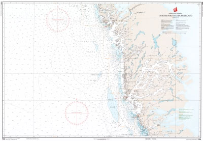
1300 Greenland Westcoast – Graedefjord to Hamborgerland

Official charts for the coast of Greenland produced by the Danish Hydrographic Office. The charts are ordered upon customer demand, therefore please contact us if you require the charts urgently.For any further information, you can contact maritime@stanfords.co.uk.

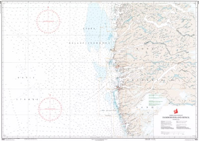
1400 Greenland Westcoast – Hamborgerland to Rifkol

Official charts for the coast of Greenland produced by the Danish Hydrographic Office. The charts are ordered upon customer demand, therefore please contact us if you require the charts urgently.For any further information, you can contact maritime@stanfords.co.uk.

Admiralty Chart IN2002 – Ports of New Mangalore and Mangalore

Admiralty standard nautical charts comply with Safety of Life at Sea (SOLAS) regulations and are ideal for professional, commercial and recreational use. Charts within the series consist of a range of scales, useful for passage planning, ocean crossings, coastal navigation and entering port.Standard Admiralty charts are folded to fit in a chart table drawer. If