Category Archives: Non-Fiction & Reference
1151 Greenland Westcoast – Harbour Plans – Umiarsualiviit assingi
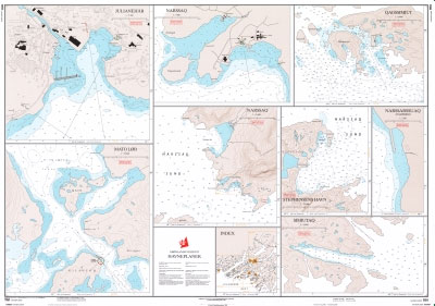
Official charts for the coast of Greenland produced by the Danish Hydrographic Office. The charts are ordered upon customer demand, therefore please contact us if you require the charts urgently.For any further information, you can contact maritime@stanfords.co.uk.Harbour plans in this chart:- Qaqortoq (Julianehab) 1:2 500 – Matu Lob 1:10 000 – Narsaq 1:5 000 –
2750 Greenland Eastcoast – Harbour Plans
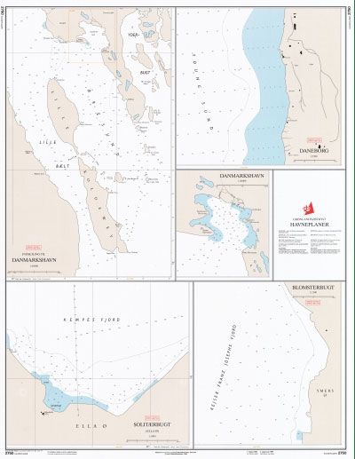
Official charts for the coast of Greenland produced by the Danish Hydrographic Office. The charts are ordered upon customer demand, therefore please contact us if you require the charts urgently.For any further information, you can contact maritime@stanfords.co.uk.Harbour plans in this chart:- Blomsterbugt- Daneborg- Indsejling to Danmarkshavn- Danmarkshavn- Solitaerbugt (Ella)
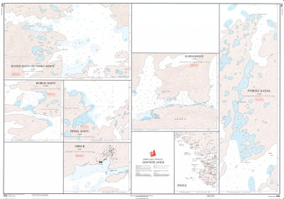
1152 Greenland Westcoast – Harbour Plans – Arsuk, Borgs Havn, Karsakken
Admiralty Chart 2055 – Oland to Gotska Sandon

Admiralty standard nautical charts comply with Safety of Life at Sea (SOLAS) regulations and are ideal for professional, commercial and recreational use. Charts within the series consist of a range of scales, useful for passage planning, ocean crossings, coastal navigation and entering port.Standard Admiralty charts are folded to fit in a chart table drawer. If
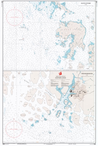
1250 Greenland Westcoast – Harbour Plans – Frederikshab, Ravns Storo
Admiralty Chart 3166 – Rade d`Agay to Monaco

NEW EDITION OUT ON 10/12/2020Admiralty standard nautical charts comply with Safety of Life at Sea (SOLAS) regulations and are ideal for professional, commercial and recreational use. Charts within the series consist of a range of scales, useful for passage planning, ocean crossings, coastal navigation and entering port.Standard Admiralty charts are folded to fit in a
1251 Greenland Westcoast – Harbour Plans
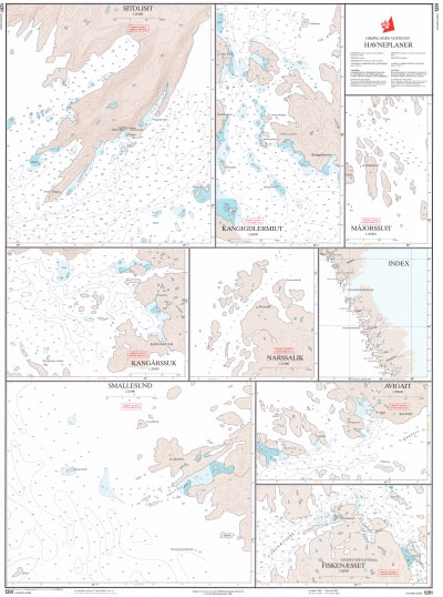
Official charts for the coast of Greenland produced by the Danish Hydrographic Office. The charts are ordered upon customer demand, therefore please contact us if you require the charts urgently.For any further information, you can contact maritime@stanfords.co.uk.Harbour plans in this chart:- Avigait- Fiskenaesset- Kangarssuk- Kangigdlermiut- Majorssuit- Narssalik- Sitdlisit- Smalllesund
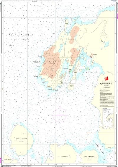
1351 Greenland Westcoast – Harbour Plans
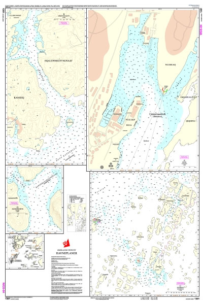
Official charts for the coast of Greenland produced by the Danish Hydrographic Office. The charts are ordered upon customer demand, therefore please contact us if you require the charts urgently.For any further information, you can contact maritime@stanfords.co.uk.Harbour plans in this chart:- Nuuk (Godthab)- Habets Havn- Kitsissut (Kookoerne)- Aqissersiorfik (Rypeo)
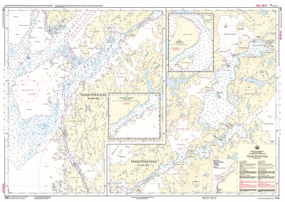
1352 Greenland Westcoast – Harbour Plans
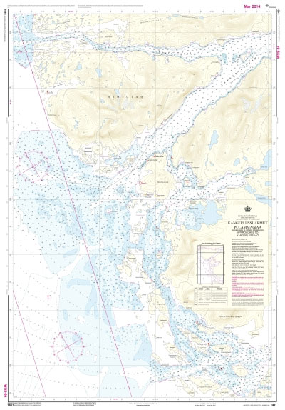
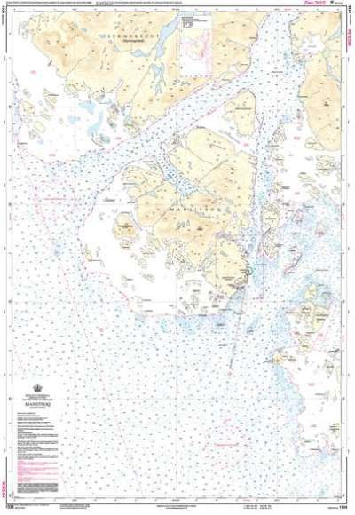
Official charts for the coast of Greenland produced by the Danish Hydrographic Office. The charts are ordered upon customer demand, therefore please contact us if you require the charts urgently.For any further information, you can contact maritime@stanfords.co.uk.Harbour plans in this chart:- Maniitsoq (Sukkertoppen) 1:3 000 – Maniitsoq (Sukkertoppen) 1:7 500 – Seqinnersuusaq
1450 Greenland Westcoast – Harbour Plans
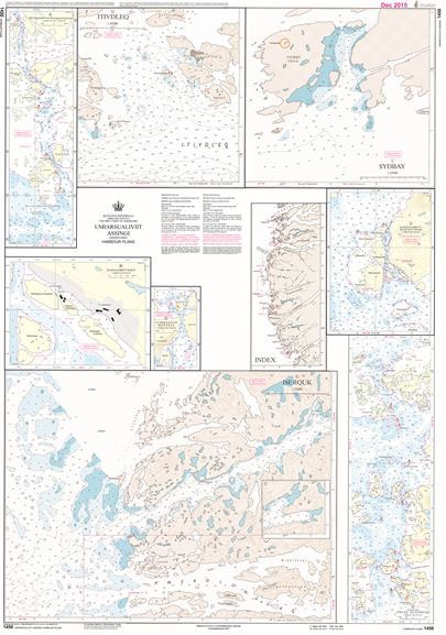
Official charts for the coast of Greenland produced by the Danish Hydrographic Office. The charts are ordered upon customer demand, therefore please contact us if you require the charts urgently.For any further information, you can contact maritime@stanfords.co.uk.Harbour plans in this chart:- Skildpadderne ‘“ Kangaannguaq 1:25 000- Kangaamiut Havn 1:5 000- Kangaamiut ‘“ Ikerasatsiaq 1:25 000-
1451 Greenland Westcoast – Harbour Plans – Agto, Faeringe Nordhavn, Holsteinsborg
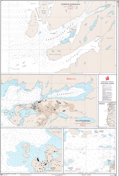
Official charts for the coast of Greenland produced by the Danish Hydrographic Office. The charts are ordered upon customer demand, therefore please contact us if you require the charts urgently.For any further information, you can contact maritime@stanfords.co.uk.Harbour plans in this chart:- Agto 1:2 500 – Agto 1: 10 000 – Fรฆringe Nordhavn- Holsteinsborg
1462 Greenland Westcoast – Harbour Plans
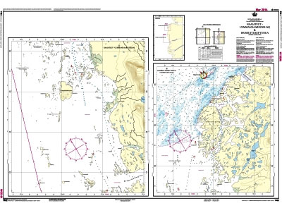
Official charts for the coast of Greenland produced by the Danish Hydrographic Office. The charts are ordered upon customer demand, therefore please contact us if you require the charts urgently.For any further information, you can contact maritime@stanfords.co.uk.Harbour plans in this chart:- Naajatuut – Uummannaarsussuaq – Innussuttusup Tunua (Anders Olsen Sund)
1550 Greenland Westcoast – Harbour Plans
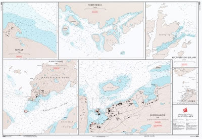
Official charts for the coast of Greenland produced by the Danish Hydrographic Office. The charts are ordered upon customer demand, therefore please contact us if you require the charts urgently.For any further information, you can contact maritime@stanfords.co.uk.Harbour plans in this chart:- Egedesminde- Fortunebay- Kangร: tsiaq- Kronprinsens Ejland- Nipisat
1551 Greenland Westcoast – Harbour Plans
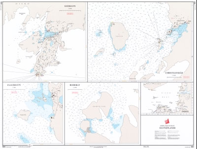
Official charts for the coast of Greenland produced by the Danish Hydrographic Office. The charts are ordered upon customer demand, therefore please contact us if you require the charts urgently.For any further information, you can contact maritime@stanfords.co.uk.Harbour plans in this chart:- Christianshab- Claushavn- Godhavn- Rodebay
1552 Greenland Westcoast – Harbour Plans
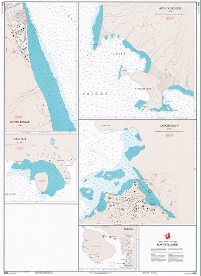
Official charts for the coast of Greenland produced by the Danish Hydrographic Office. The charts are ordered upon customer demand, therefore please contact us if you require the charts urgently.For any further information, you can contact maritime@stanfords.co.uk.Harbour plans in this chart:- Atanikerdluk- Jakobshavn- Qutdligssat- Sarqaq
1331 Greenland Westcoast – Nuuk (Godthab)
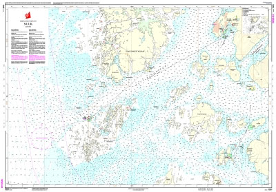
Official charts for the coast of Greenland produced by the Danish Hydrographic Office. The charts are ordered upon customer demand, therefore please contact us if you require the charts urgently.For any further information, you can contact maritime@stanfords.co.uk.Plans included in this chart:- Sarfarnertooq 1:12,500- Hans Egede Boplads 1:20,000


