Category Archives: Non-Fiction & Reference
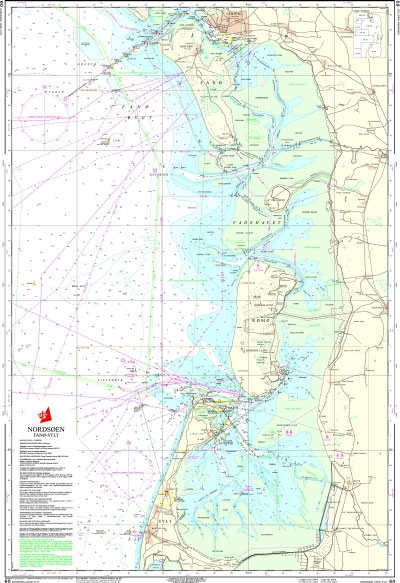
60 Denmark, North Sea – Fano to Sylt
109 Limfjorden – Mors to Logstor
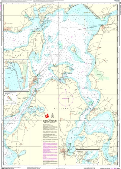
Official charts for the coast of Denmark produced by the Danish Hydrographic Office. The charts are ordered upon customer demand, therefore please contact us if you require the charts urgently.For any further information, you can contact maritime@stanfords.co.uk.Plans in this chart:- Nykobing Mors- Sallingsundbroens gennemsejlingsfag- Virksund
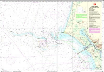
61 Denmark, North Sea – Blavands Huk to Fano
110 Kattegat – Mariager Fjord
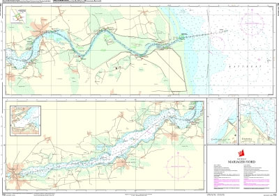
Official charts for the coast of Denmark produced by the Danish Hydrographic Office. The charts are ordered upon customer demand, therefore please contact us if you require the charts urgently.For any further information, you can contact maritime@stanfords.co.uk.Plans in this chart:- Hadsundbroens gennemsejlingsfag- Hobro- Akzo Nobel Salt A/S- Kongsdal
92 Skagerrak
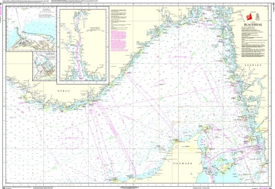
Official charts for the coast of Denmark produced by the Danish Hydrographic Office. The charts are ordered upon customer demand, therefore please contact us if you require the charts urgently.For any further information, you can contact maritime@stanfords.co.uk.Plans on this chart:- Hirtshals- Oslofjorden- Hanstholm
93 Denmark, North Sea – Esbjerg to Hanstholm
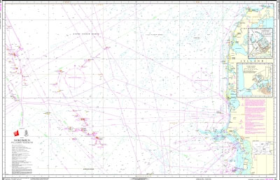
Official charts for the coast of Denmark produced by the Danish Hydrographic Office. The charts are ordered upon customer demand, therefore please contact us if you require the charts urgently.For any further information, you can contact maritime@stanfords.co.uk.Plans on this chart:- Hanstholm- Hvide Sande
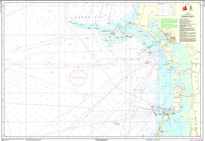
94 Denmark, North Sea – Horns Rev (Horns Reef)
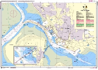
95 Denmark, North Sea – Port of Esbjerg
99 Denmark, North Sea – Ringkobing Fjord

Official charts for the coast of Denmark produced by the Danish Hydrographic Office. The charts are ordered upon customer demand, therefore please contact us if you require the charts urgently.For any further information, you can contact maritime@stanfords.co.uk.Plans on this chart:- Hvide Sande- Ringkobing- Stauning- Skaven- Bork
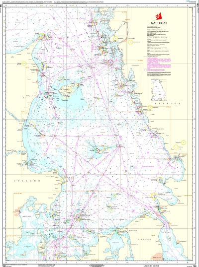
100 Kattegat
101 Kattegat, Northern Part
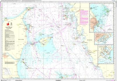
Official charts for the coast of Denmark produced by the Danish Hydrographic Office. The charts are ordered upon customer demand, therefore please contact us if you require the charts urgently.For any further information, you can contact maritime@stanfords.co.uk.Plans in this chart:- Indsejling til Frederikshavn- Skagen- Frederikshavn
102 Kattegat, Southern Part
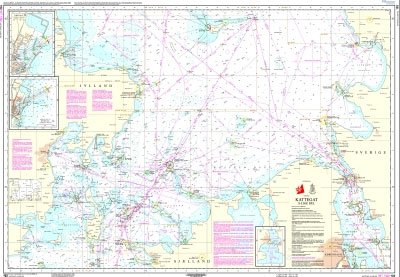
Official charts for the coast of Denmark produced by the Danish Hydrographic Office. The charts are ordered upon customer demand, therefore please contact us if you require the charts urgently.For any further information, you can contact maritime@stanfords.co.uk.Plans in this chart:- Indsejling til Grenaa- Grenaa- Sound VTS
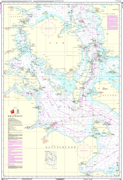
103 Baelthavet
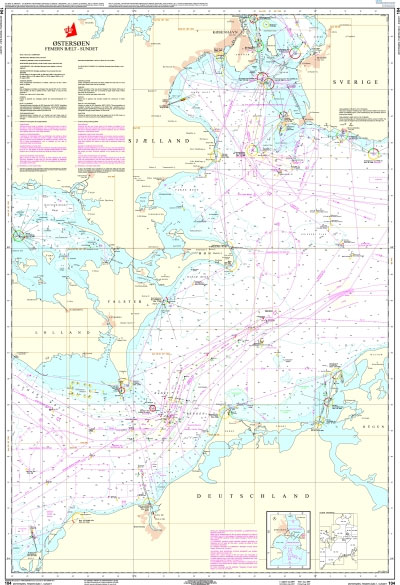
104 Baltic Sea – Femernbรฆlt to Sundet
105 Limfjorden – Aalborg to Logstor
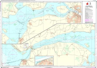
Official charts for the coast of Denmark produced by the Danish Hydrographic Office. The charts are ordered upon customer demand, therefore please contact us if you require the charts urgently.For any further information, you can contact maritime@stanfords.co.uk.Plans in this chart:- Logstor- Aggersundbroens gennemsejlingsfag
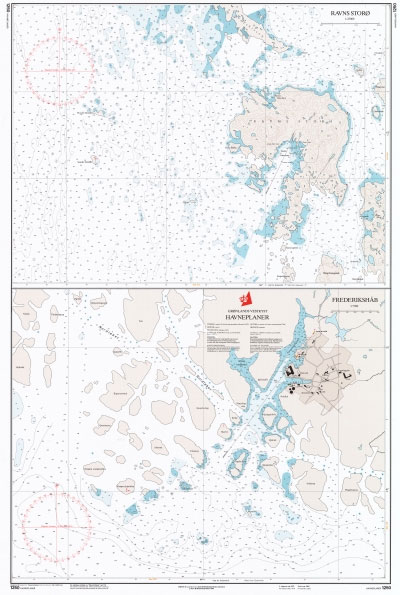
1250 Greenland Westcoast – Harbour Plans – Frederikshab, Ravns Storo
Admiralty Chart 3166 – Rade d`Agay to Monaco

NEW EDITION OUT ON 10/12/2020Admiralty standard nautical charts comply with Safety of Life at Sea (SOLAS) regulations and are ideal for professional, commercial and recreational use. Charts within the series consist of a range of scales, useful for passage planning, ocean crossings, coastal navigation and entering port.Standard Admiralty charts are folded to fit in a
1251 Greenland Westcoast – Harbour Plans
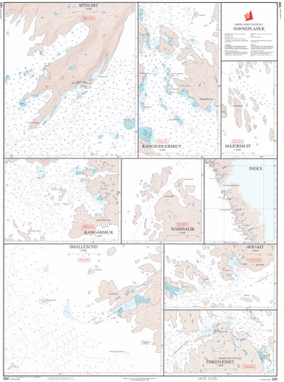
Official charts for the coast of Greenland produced by the Danish Hydrographic Office. The charts are ordered upon customer demand, therefore please contact us if you require the charts urgently.For any further information, you can contact maritime@stanfords.co.uk.Harbour plans in this chart:- Avigait- Fiskenaesset- Kangarssuk- Kangigdlermiut- Majorssuit- Narssalik- Sitdlisit- Smalllesund
1351 Greenland Westcoast – Harbour Plans
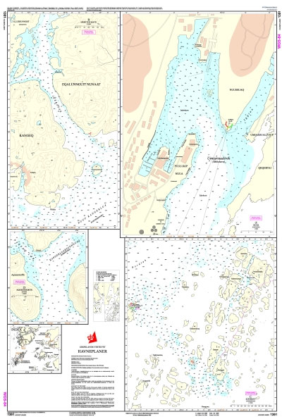
Official charts for the coast of Greenland produced by the Danish Hydrographic Office. The charts are ordered upon customer demand, therefore please contact us if you require the charts urgently.For any further information, you can contact maritime@stanfords.co.uk.Harbour plans in this chart:- Nuuk (Godthab)- Habets Havn- Kitsissut (Kookoerne)- Aqissersiorfik (Rypeo)
1352 Greenland Westcoast – Harbour Plans
Official charts for the coast of Greenland produced by the Danish Hydrographic Office. The charts are ordered upon customer demand, therefore please contact us if you require the charts urgently.For any further information, you can contact maritime@stanfords.co.uk.Harbour plans in this chart:- Maniitsoq (Sukkertoppen) 1:3 000 – Maniitsoq (Sukkertoppen) 1:7 500 – Seqinnersuusaq


