Category Archives: Non-Fiction & Reference
188 Baltic Sea around Bornholm
Official charts for the coast of Denmark produced by the Danish Hydrographic Office. The charts are ordered upon customer demand, therefore please contact us if you require the charts urgently.For any further information, you can contact maritime@stanfords.co.uk.
151 Lillebaelt (Little Belt) – Northern Part
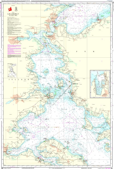
Official charts for the coast of Denmark produced by the Danish Hydrographic Office. The charts are ordered upon customer demand, therefore please contact us if you require the charts urgently.For any further information, you can contact maritime@stanfords.co.uk.Plans included in this chart:- Assens
189 Baltic Sea – Bornholmsgat
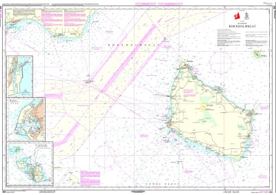
Official charts for the coast of Denmark produced by the Danish Hydrographic Office. The charts are ordered upon customer demand, therefore please contact us if you require the charts urgently.For any further information, you can contact maritime@stanfords.co.uk.Plans in this chart:- Christiansรธ- Rรธnne- Nexรธ
152 Lillebaelt (Little Belt) – Southern Part and Waters South of Funen (Fyn)
Official charts for the coast of Denmark produced by the Danish Hydrographic Office. The charts are ordered upon customer demand, therefore please contact us if you require the charts urgently.For any further information, you can contact maritime@stanfords.co.uk.Plans included in this chart:- Nakkebรธlle Fjord- Indsejling til Faaborg- Indsejling til Marstal- Indsejling til รrรธskรธbing
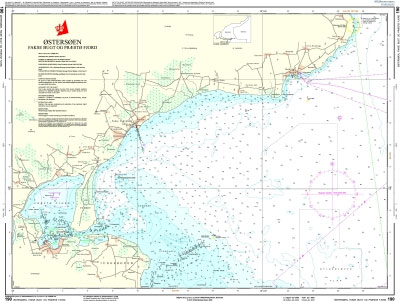
190 Baltic Sea – Faxe Bugt and Praesto Fjord
153 Lillebaelt (Little Belt) – Haderslev Fjord
154 Lillebaelt (Little Belt) – Flensborg Fjord
Official charts for the coast of Denmark produced by the Danish Hydrographic Office. The charts are ordered upon customer demand, therefore please contact us if you require the charts urgently.For any further information, you can contact maritime@stanfords.co.uk.
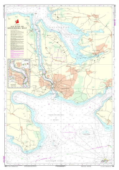
155 Lillebaelt (Little Belt) – Als Sund and Sonderborg Bugt
157 Lillebaelt (Little Belt) – Vejle Fjord
Official charts for the coast of Denmark produced by the Danish Hydrographic Office. The charts are ordered upon customer demand, therefore please contact us if you require the charts urgently.For any further information, you can contact maritime@stanfords.co.uk.
158 Lillebaelt (Little Belt) – Snaevringen and Kolding Fjord
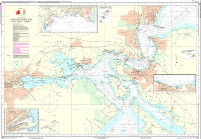
Official charts for the coast of Denmark produced by the Danish Hydrographic Office. The charts are ordered upon customer demand, therefore please contact us if you require the charts urgently.For any further information, you can contact maritime@stanfords.co.uk.Plans included in this chart:- Fredericia- W-lige Lillebรฆltsbros gennemsejlingsfag- E-lige Lillebรฆltsbros gennemsejlingsfag- Middelfart- Kolding
159 Lillebaelt (Little Belt) – Aabenraa Fjord
160 Smalandsfarvandet – Western Part
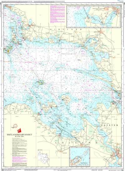
Official charts for the coast of Denmark produced by the Danish Hydrographic Office. The charts are ordered upon customer demand, therefore please contact us if you require the charts urgently.For any further information, you can contact maritime@stanfords.co.uk.Plans included in this chart:- Indsejling til Skรฆlskรธr 1:20,000- Bandholm 1:8,000
161 Smalandsfarvandet – Northern Part
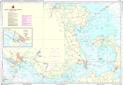
***Chart image for illustration only. Actual product may vary due to changes applied to the newest edition*** Official charts for the coast of Denmark produced by the Danish Hydrographic Office. The charts are ordered upon customer demand, therefore please contact us if you require the charts urgently.For any further information, you can contact maritime@stanfords.co.uk.Plans included
162 Smalandsfarvandet – Southeastern Part
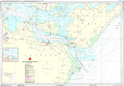
Official charts for the coast of Denmark produced by the Danish Hydrographic Office. The charts are ordered upon customer demand, therefore please contact us if you require the charts urgently.For any further information, you can contact maritime@stanfords.co.uk.Plans included in this chart:- Storstrรธmsbroens gennemsejlingsfag- Farรธ-Falsterbroens gennemsejlingsfag- Sjรฆlland-Farรธbroens gennemsejlingsfag- Stubbekรธbing
163 Smalandsfarvandet – Guldborg Sund
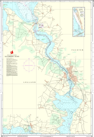
Official charts for the coast of Denmark produced by the Danish Hydrographic Office. The charts are ordered upon customer demand, therefore please contact us if you require the charts urgently.For any further information, you can contact maritime@stanfords.co.uk.Plans included in this chart:- Nykรธbing F- Kong Frederik IXs Bros gennemsejlingsfag- Guldborgbroens gennemsejlingsfag
113 Kattegat – Horsens Fjord
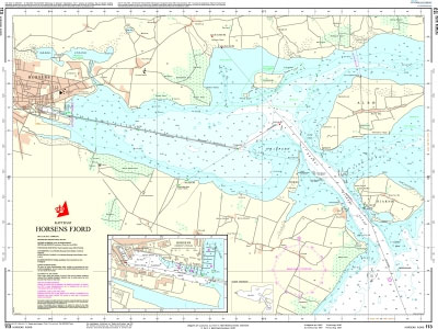
Official charts for the coast of Denmark produced by the Danish Hydrographic Office. The charts are ordered upon customer demand, therefore please contact us if you require the charts urgently.For any further information, you can contact maritime@stanfords.co.uk.Plan included in this chart:- Horsens
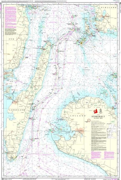
142 Storebaelt (Great Belt) – Southern Part
114 Kattegat – The Waters North of Funen (Fyn)
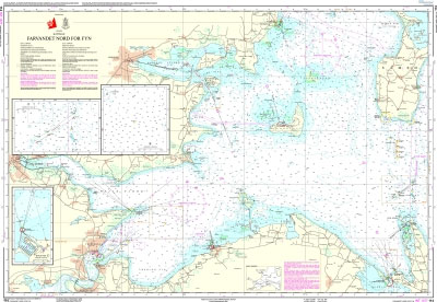
Official charts for the coast of Denmark produced by the Danish Hydrographic Office. The charts are ordered upon customer demand, therefore please contact us if you require the charts urgently.For any further information, you can contact maritime@stanfords.co.uk.Plans included in this chart:- Lillegrund N- Kasser Odde Flak SE- Bogense
143 Storebaelt (Great Belt) – Sprogo to Langeland
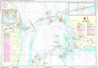
Official charts for the coast of Denmark produced by the Danish Hydrographic Office. The charts are ordered upon customer demand, therefore please contact us if you require the charts urgently.For any further information, you can contact maritime@stanfords.co.uk.Plans included in this chart:- Indsejling til Nyborg- Vestbroen ‘“ West Bridge, Afmรฆrkede gennemsejlingsfag, Marked navigation spans- รstbroen ‘“


